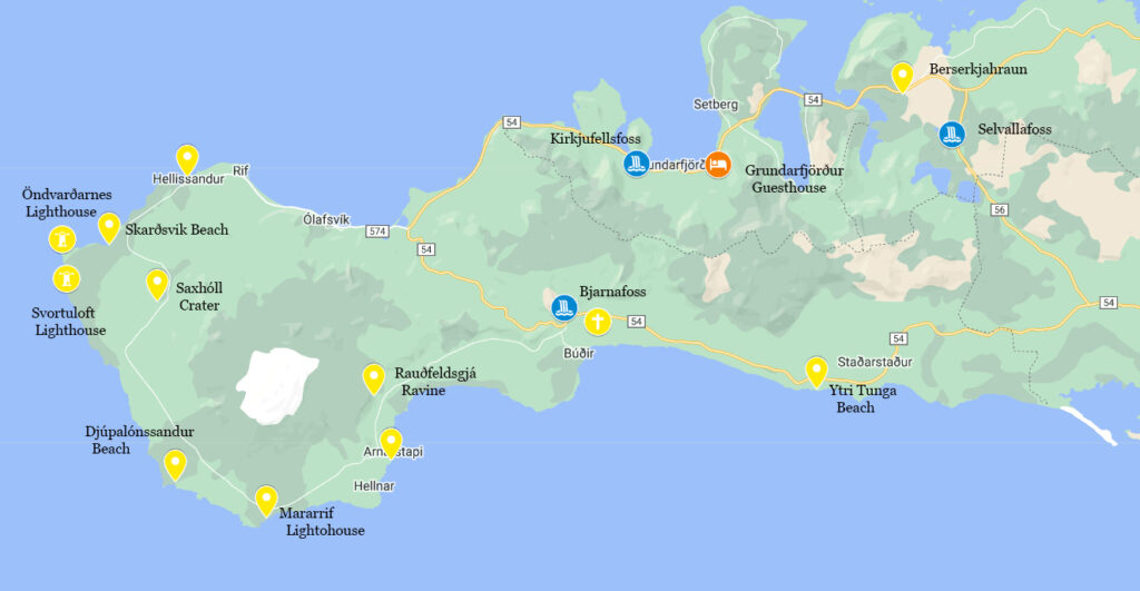
26 hours over 2 days driving counterclockwise around the Snæfellsnes Peninsula in Iceland
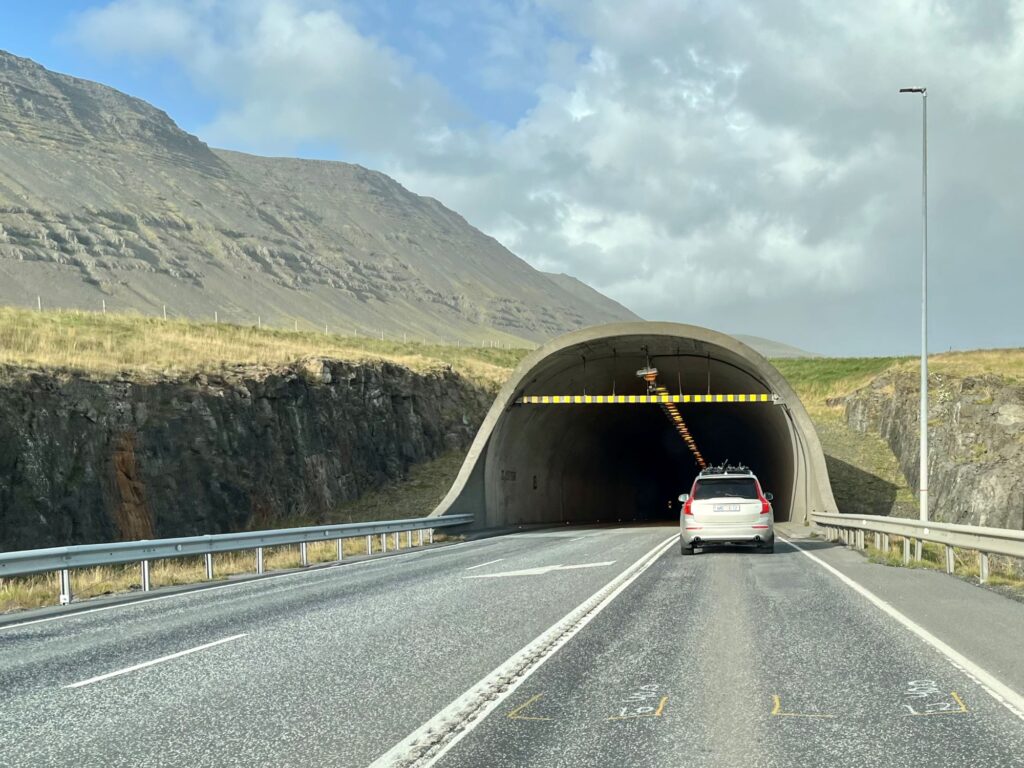
Our journey started at the Keflavik Airport where we departed, heading towards Reykjavik. Outside of Reykjavik we got on the Ring Road (Route 1) where we headed north and went thru the Hvalfjörður Tunnel which goes under the Hvalfjörður fjord. The tunnel is 3.6 miles long and reaches a depth of 541 ft below sea level. It was completed in 1998 and they stopped collecting a toll in 2018 when the tunnel had been paid off. We then drove over the Borgarfjarðarbrú which is the second largest bridge in Iceland. After crossing the bridge, you go thru the town of Borgarnes. This is a good place to stock up on food and supplies. We stopped at the local Bonus grocery store.
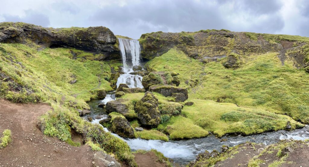
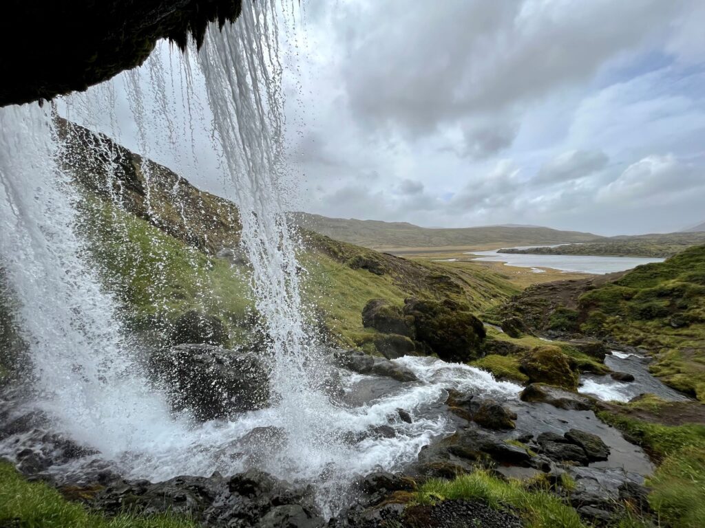
After leaving Borgarnes we left the Ring Road and continued west on Route 54 and then north on Route 56 towards the town of Grundarfjörður, which is where our lodging was located. On the way to Grundarfjörður we stopped at Selvallafoss (Sheep’s waterfall). It was a beautiful waterfall that you could walk behind. It was true to its namesake with sheep grazing nearby. We continued north on Route 56 and took a slight detour onto Route 558 which took us thru Berserkjahraun, a 4,000 year old lava field. This was a gravel road with a lot of interesting lava formations as well as a lot of sheep.
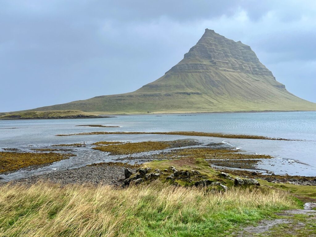
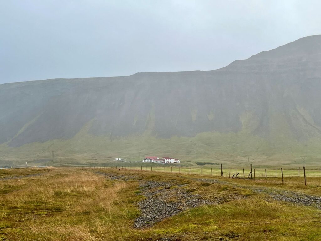
We reached the Kirkjufell Guesthouse in Grundarfjörður around 4PM. This guesthouse had views of the Grundarfjörður harbor (where a National Geographic cruise ship was docked), and numerous mountains, including the famous Kirkjufell (Game of Thrones). The guesthouse was made up of a large open area that had multiple small tables and chairs for dining and a full kitchen and refrigerator. There were 13 rooms off of this common area, some with their own bathroom. Our room had 3 single beds and our own bathroom. We put our groceries in the refrigerator and headed back out for more sight-seeing in the wind and rain. I would stay at this guesthouse again if I returned to the area.
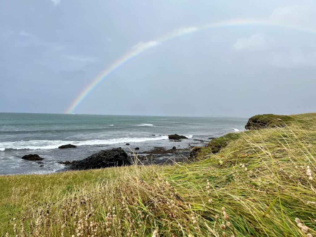
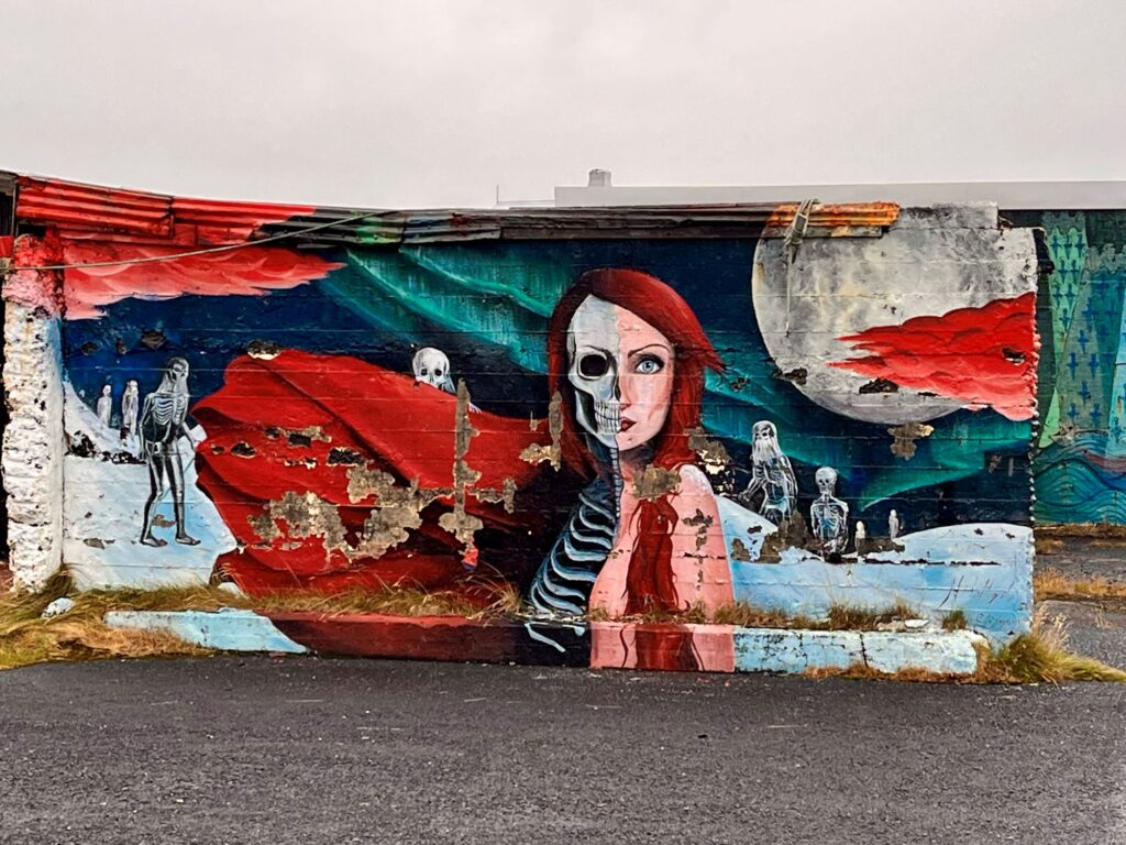
We drove by Kirkjufell but chose not to stop for pictures, hoping for better weather the following day. We continued driving west along the coast. The surf was incredible. The rain stopped for a few minutes and a rainbow came out over the harbor. We took a short detour thru the small village of Hellisandur (Street Art capital of Iceland) and took some photos of the lovely murals. We continued west on Route 574 and then veered off to the right onto Route 579 to enter Snæfellsjökull National Park. This was a gravel road with quite a few potholes.


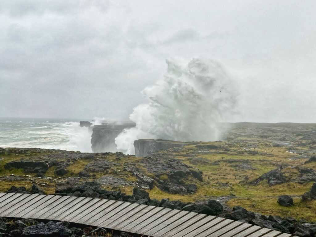
Our first stop along Route 579 was at Skarðsvik beach. Most beaches in Iceland have black sand due to the volcanic rock, but this beach has golden yellow sand surrounded by black volcanic rocks. I can’t express how incredible the surf was this day due to the high winds and rain.


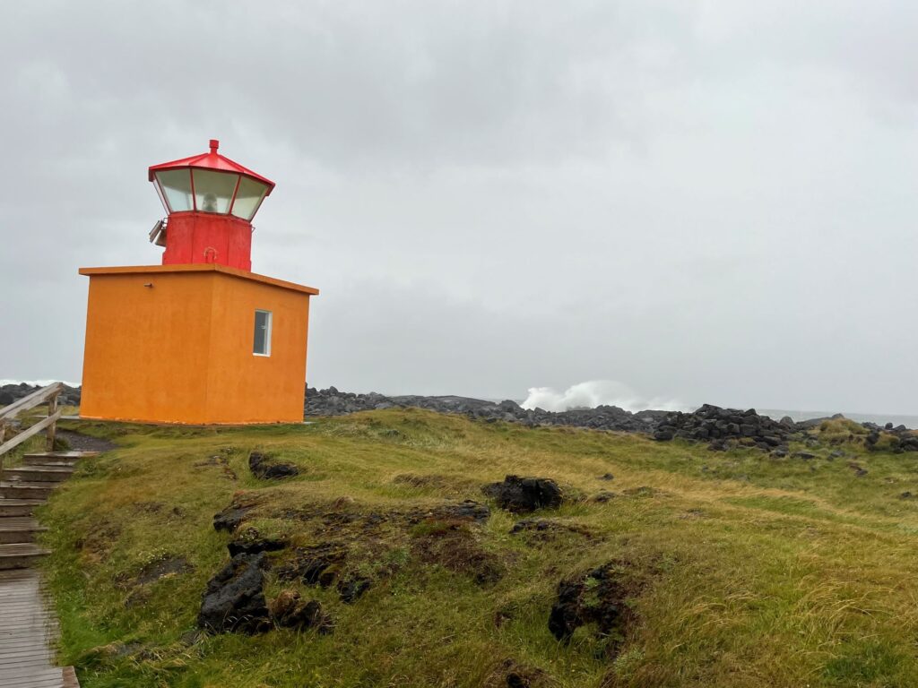
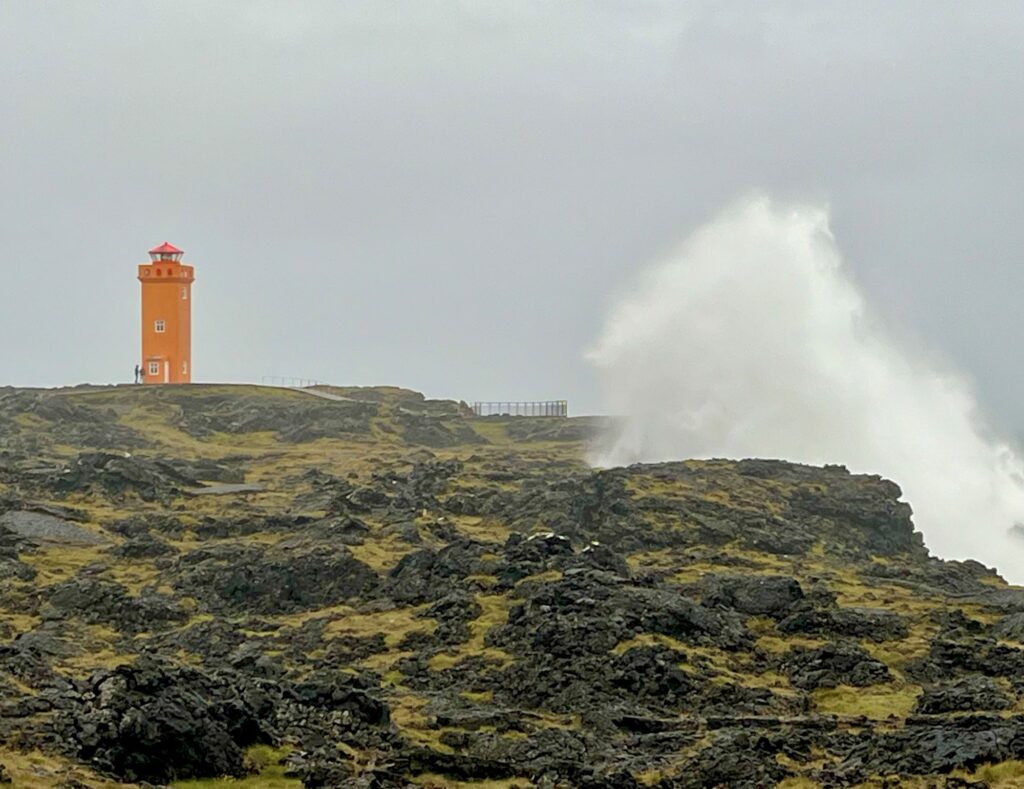
We continued west on Route 579 and then turned right (north) to go to the Öndverðarnes lighthouse. This was a short, orange lighthouse that was not very impressive, but the drive along the coast to get there was adventurous. The spray from the surf was coming over the large rocks and hitting the car. After spending a little time at this lighthouse we drove south to the Svortuloft lighthouse. This lighthouse was also orange and was a little more impressive. There was a large rock arch off the coast and the wind and surf were insane. At one point while videoing, my glasses almost blew off. We could have spent a lot of time here but we were all hungry and we didn’t want to be driving in the dark. We stopped for dinner at Kaffi 59, a pub-like restaurant in Grundarfjörður on our way back to the guesthouse.
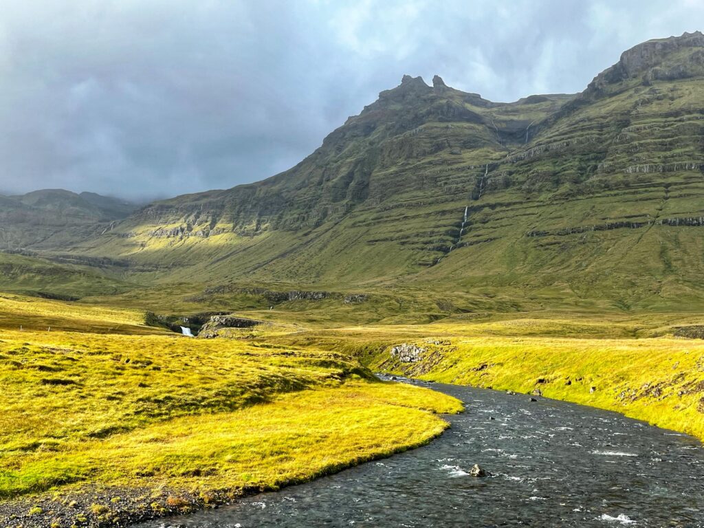
The following morning we were on a mission to circle the Snæfellsness Peninsula counter-clockwise. The weather would cycle between rain, clouds, and sun all day. We left the guesthouse and headed west on Route 54 (same as the day before). As we approached Kirkjufell the sun came out and lit up the mountains opposite of it. We parked at Kirkjufellsfoss (parking fee) and walked down to the cascading waterfall. This is one of the iconic photographs of Iceland.

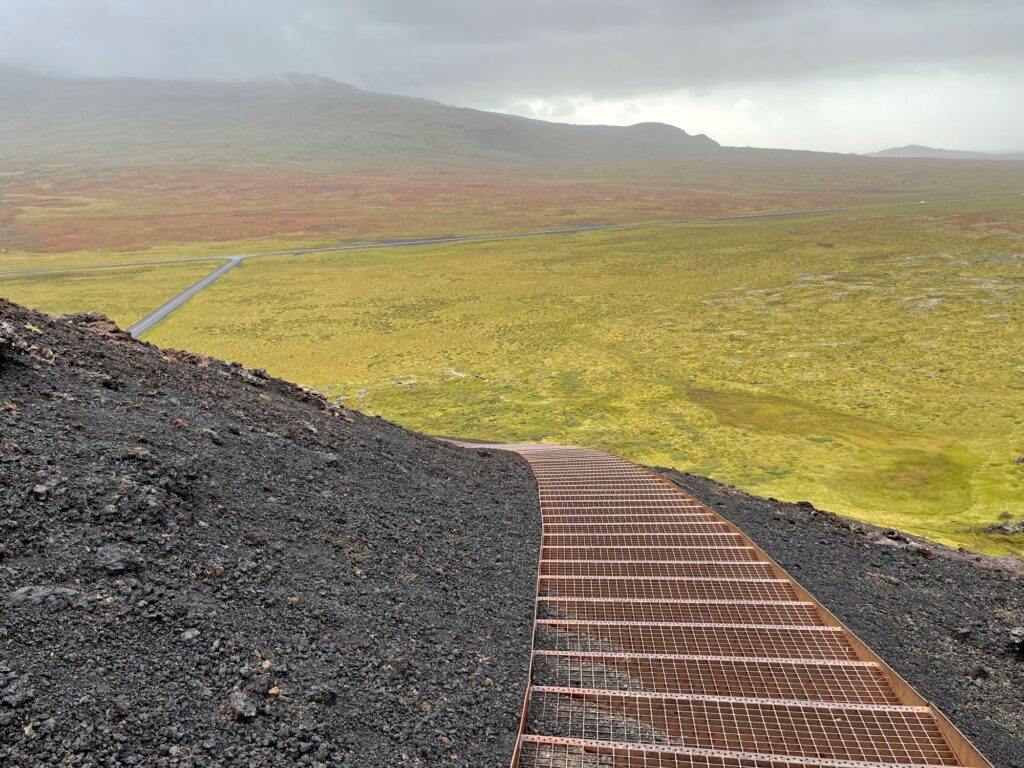
We re-entered the Snæfellsjökull National Park but instead of turning on Route 579 we stayed on Route 574 towards Saxhóll Crater. This crater is one of the more popular craters on the Snæfellsness Peninsula because of its easy accessibility. It is 100 ft high and has a walking path with steps to reach the top. It was windy and rainy when we visited so we didn’t get the incredible views out to the ocean.
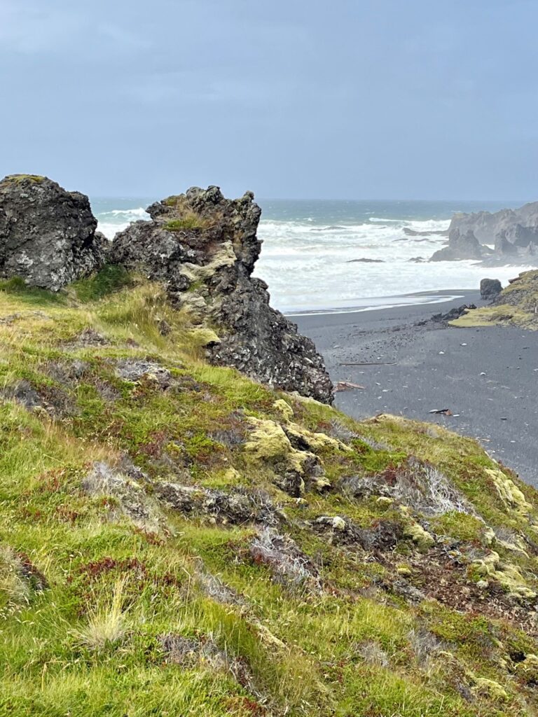
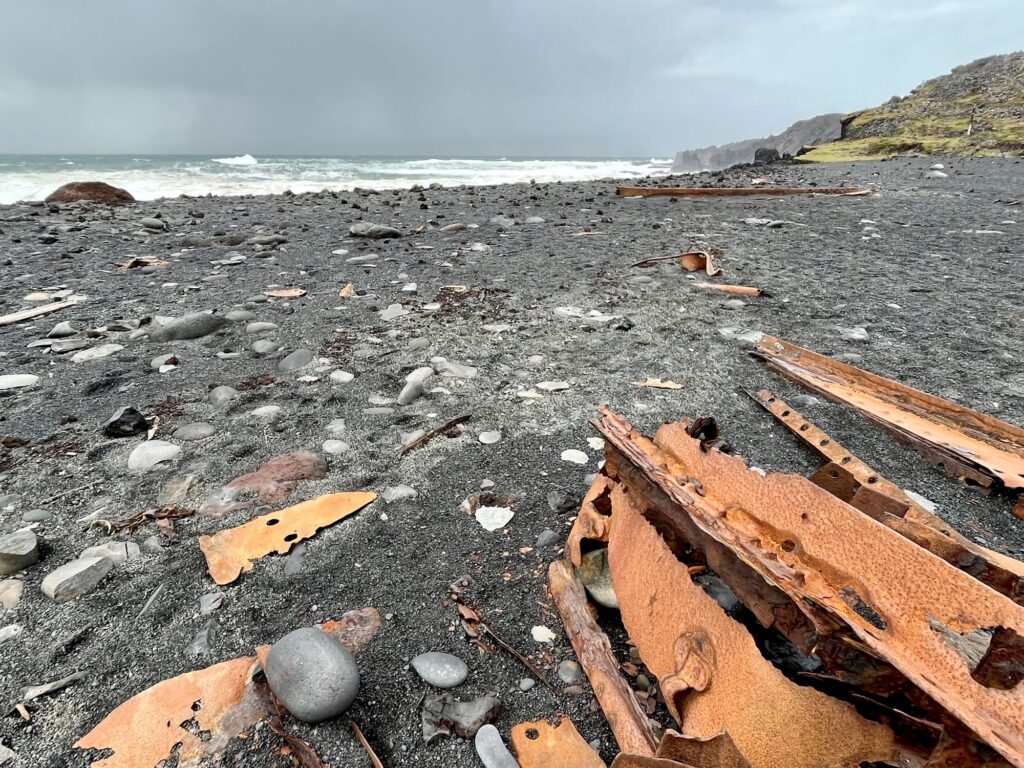
We continued south on Route 574 to our next stop – Djúpalónssandur Beach. This is a black sand beach and is famous for the washed up iron remains of the British trawler, The Epine GY 7, on the beach. The trawler was wrecked east of Dritvik on a night in March 1948. Five of the 19 crew survived. There was a pretty lagoon and some interesting rock formations nearby.
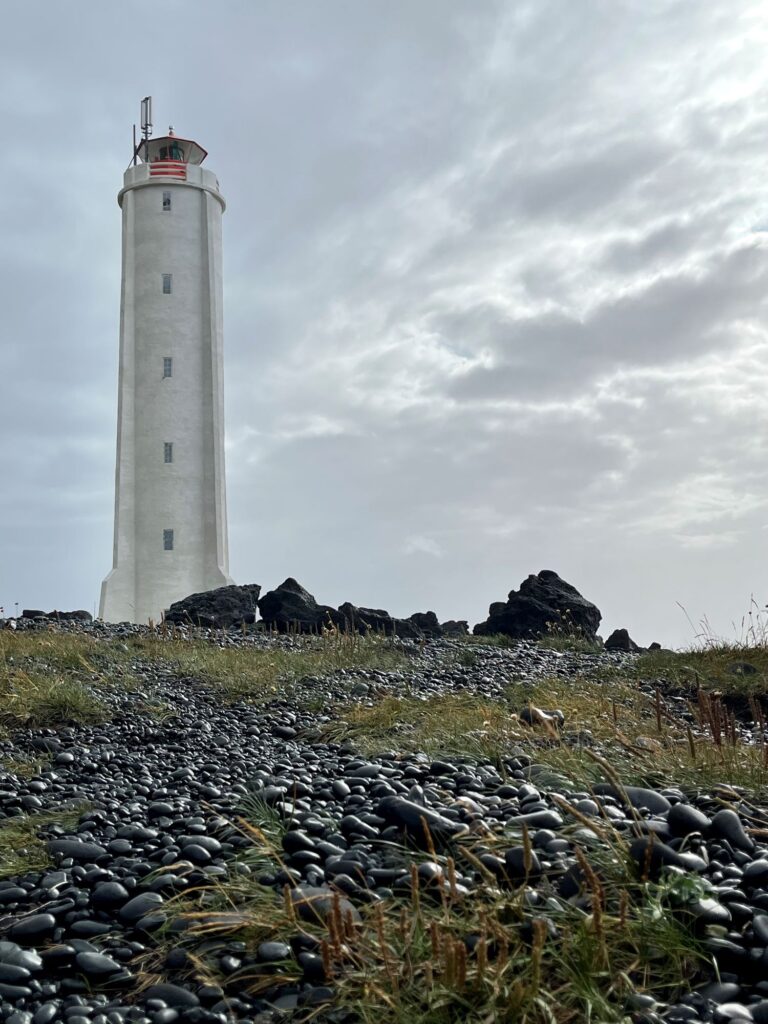
Continuing south of Route 574, our next stop was the Malarrif lighthouse. The sun came out and cast some beautiful rays on the ocean while we were there. There were quite a few walking paths in the area. We walked south on one of them that took us down to Lóndrangar (the rocky castle), although we were looking at it from the opposite side from where most photos are taken. The area around Lóndrangar is said to belong to the elves. The cliffs there are also home to many nesting seabirds, including puffins. We were a little too late in the season to see any puffins.

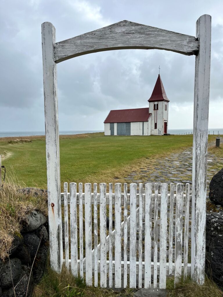
Our next stop off of Route 574 was the small town of Hellnar where there was a pretty church. It was then off to Arnarstapi. It was raining when we visited here so we did not spend a lot of time here. We did see the beautiful basalt cliffs and the stone sculpture of Bárður (half troll and half man), the Protector of the Snæfellsness Peninsula. We missed Gatklettur, a beautiful stone arch.
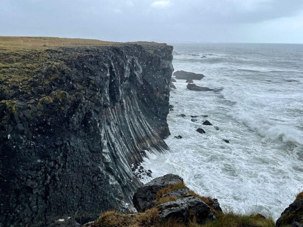
We were now on the southern coast of the peninsula and our next stop along Route 574was the Rauðfeldsgjá Ravine. You would never know this ravine existed, if it wasn’t for all of the cars and the tour bus in the parking lot. There is a short uphill hike to get to the entrance of the ravine. Once in the ravine you can hike in the stream to a waterfall.

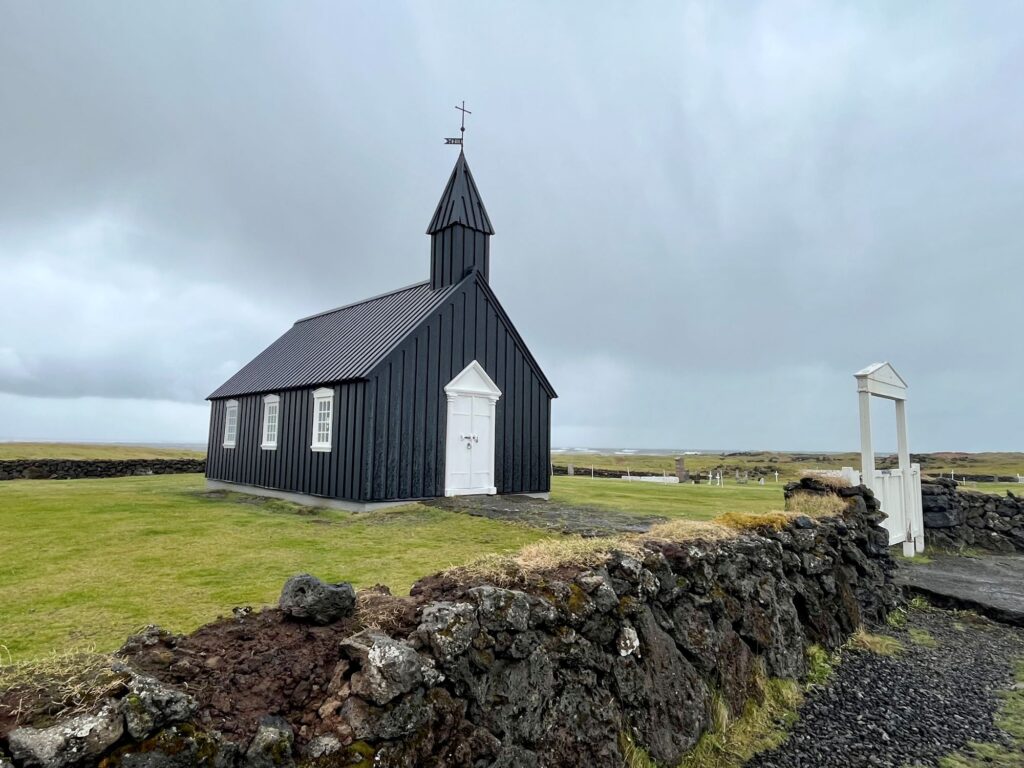
Our next stop along Route 574 (just before it meets up with Route 54) was just a photo opportunity at the Buðir church. It is one of the oldest wooden churches in Iceland. Its simple black and white motif looks beautiful against the bright green grass. The cloud sky really set the tone.
Route 574 ends when it intersects with Route 54. We turned right (heading east) onto Route 54 for our two final stops on the peninsula: Bjarnafoss (a 262 ft waterfall) and Ytri Tunga, another golden sand beach. Ytri Tunga is supposed to be one of the best places to see seals in Iceland. We did see one but it was very far away. We saw more seals later in the trip at the Jökulsárlón Glacial Lagoon.


We had a 3 ½ hour drive from Ytri Tunga to reach our Air B&B on the South Coast of Iceland. We left the peninsula around 4PM and arrived at our Air B&B around 7:50PM stopping once in Borgarnes for more groceries. The Snaefellsness Peninsula was one of our favorite Icelandic destinations.
