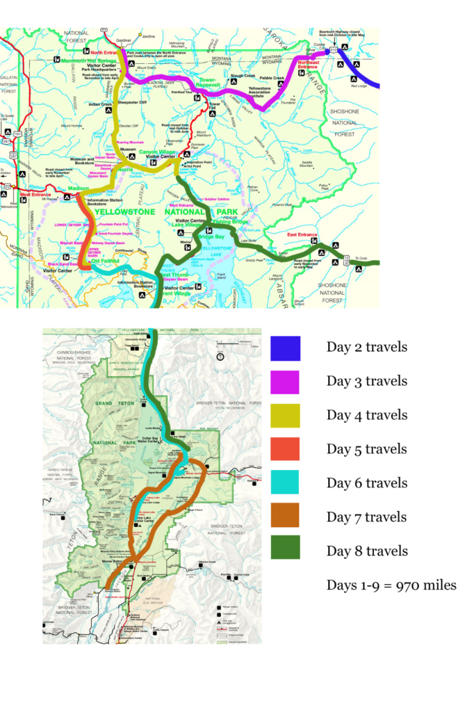
Seventeen months after I had to cancel my REI hiking trip to Death Valley due to the onset of the COVID-19 pandemic, I was finally going on vacation!! Back in May 2021, Colin mentioned that he had almost 4 weeks of vacation time he had to “burn” before the end of the year. Nothing more had to be said before I went into planning mode for a September vacation. It came down between Iceland (they had opened their borders to COVID vaccinated Americans) and Yellowstone/Grand Teton National Parks. Ultimately, I chose Yellowstone/Grand Teton National Parks because I was still a little leery about international travel and planning something 4 months out. Overall, the trip was a resounding success!!! Other than a “smoky” Grand Tetons, we had no travel delays, a great car rental, beautiful weather, beautiful scenery, abundant wildlife, and received quite an education from our Gypsy tour guide.
Read on below for our itinerary. This itinerary can only be done late April thru early November as most of the park roads are closed to traffic during the winter months.
Day 1 – Travel to Red Lodge, Montana
We departed the East Coast early in the morning and landed in Billings, MT around 2PM (with a layover in Chicago). We chose Billings because this was the closest airport to Red Lodge, MT, where we wanted to start our trip on the Beartooth Highway. Other airports to consider (although the order of our itinerary would have to be changed) are Bozeman and West Yellowstone (summer/early fall only) airports in Montana, Cody and Jackson airports in Wyoming, and Idaho Falls airport in Idaho.
The drive from Billings to Red Lodge was pretty non-descript until we approached Red Lodge, then we could see the mountains of the Beartooth Range in the background. We stopped at a Walmart to stock up on food for the week and bear spray. We checked into the Beartooth Hideaway Inn and Cabins located on the main drag at the end of town. We ate dinner at Foster & Logan’s Pub & Grill located on the main street. It was a nice pub with sports memorabilia.
Since it was still light out we decided to take a drive out on the Beartooth Highway to give us a taste of what was in store for us the next day. We only traveled a few miles but were already in awe! We took some photos at the “Welcome to the Beartooth Highway” to save time the next day. It was then back to the motel for an early bedtime.
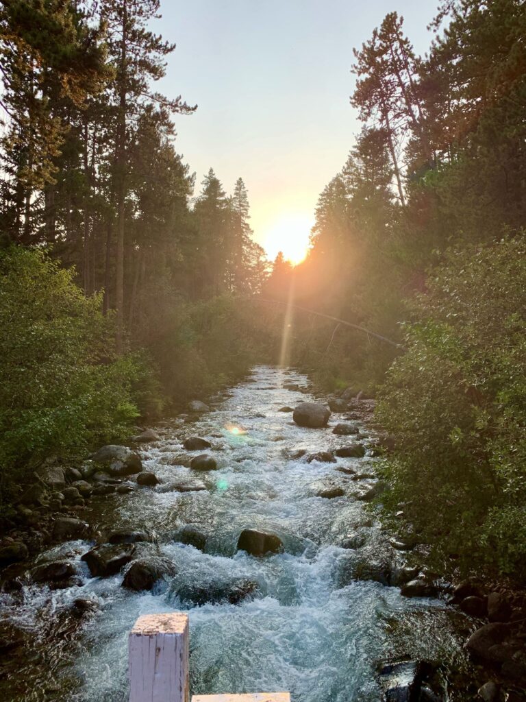
Day 2 – Beartooth and Chief Joseph Scenic Highways
After a quick breakfast in our room, we checked out ready to tackle the 68-mile Beartooth Scenic Byway. The journey can take as short as 2.5 hours in good weather, without stops. Colin and I laugh about that because we pretty much stopped almost every mile or two (at pullouts) and it took us more like 6 -7 hours. The sun was shining and the temperature was in the upper 30s when we started driving. There was still a smoky haze in the sky. The highway is only open Memorial Day thru Columbus Day but can be closed at any time due to poor weather conditions. There has been snow in July. It is the highest elevation paved highway in the Northern Rocky Mountains. The highway has many switchbacks, especially in the first 25 miles from Red Lodge and gains 5,000 feet in elevation. It starts at an elevation of 6,400 feet in Red Lodge, climbs to an elevation of 10,947 feet at Beartooth Pass in Wyoming before descending back down to 7,500 feet in Cooke City, Montana. The switchbacks were quite impressive, especially when you looked up at where you still had to go.
The first official viewpoint was at Rock Creek Vista, 21 miles from Red Lodge, at an elevation of 9,190 feet. There are breathtaking views of Hell Roaring Plateau and Rock Creek Canyon. We continued on, crossing into Wyoming. One of our favorite areas was the view of the Twin Lakes. We stopped at the Gardner Lake Pullout at an elevation of 10,536 ft for views on the opposite side of the roadway. Of course, we had to get a picture of the two of us at Beartooth Pass, the highest elevation at 10,947 feet. The switchbacks coming down this side of the pass were not as steep as those near Red Lodge and it was more of a grassy terrain. We stopped at the Top of the World Store where Colin purchased a multi-use tool.
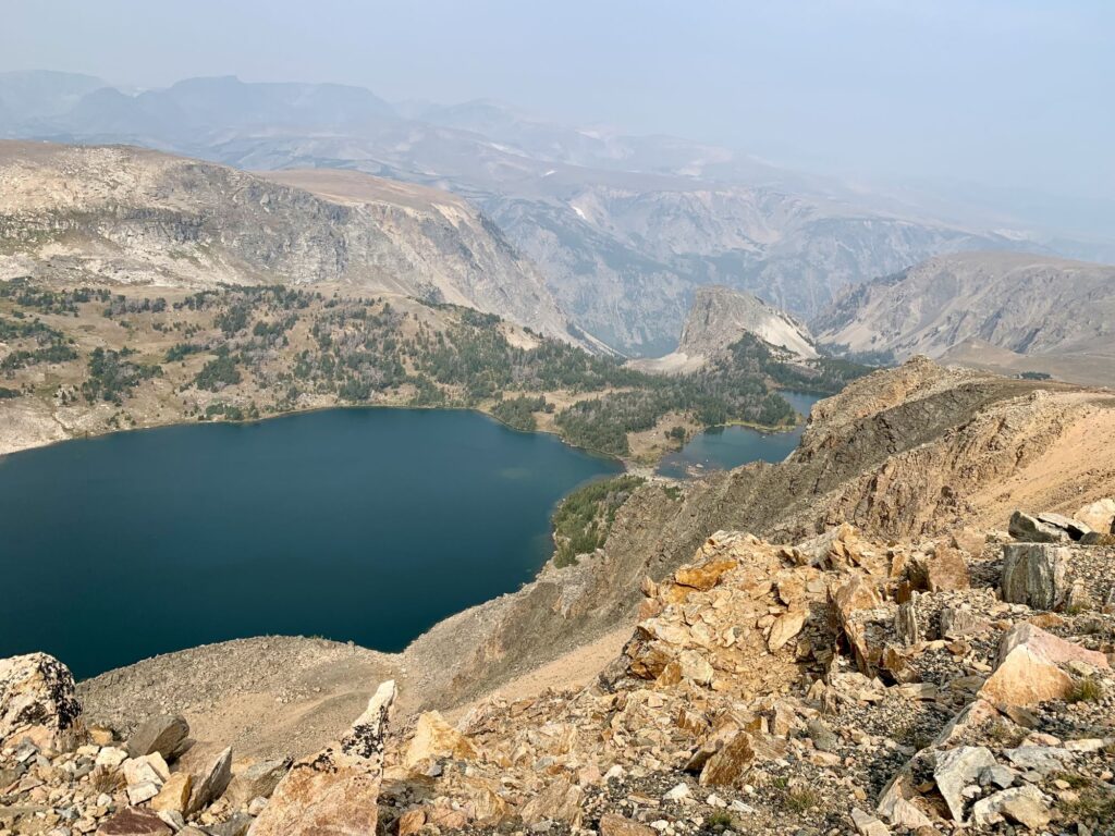
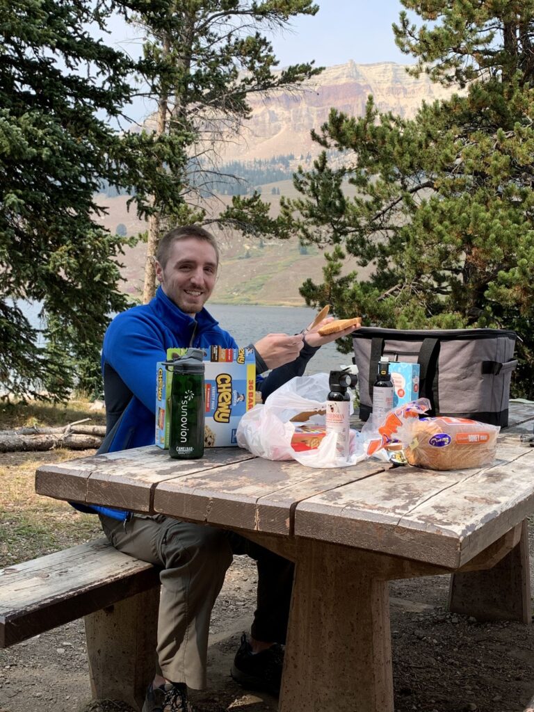
Our next stop was Beartooth Lake, where we had a picnic lunch. We had our bear spray at the ready and kept all food within arm’s reach. There were numerous signs thru-out our travels warning of “Bear Aware” areas and instructions for storing food and what to do if you encountered a bear. We took a 1.5-mile hike along Beartooth Lake, with a backdrop of Beartooth Butte.
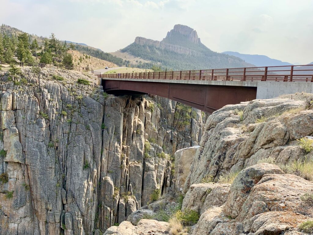
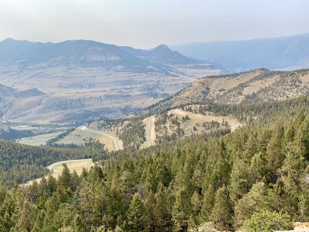
Since it was early and we were only a few miles from Cooke City we decided to detour and drive down the Chief Joseph Scenic Byway (Route 296). The Chief Joseph Scenic Byway connects Cody, Wyoming with Cooke City and the Beartooth Scenic Byway. It is 47 miles long and is open year-round, although can be quite unpredictable in the wintertime. It is named after the Native American chief of the Nez Perce Tribe. It travels thru the Shoshone National Forest and the Sunlight Basin with the Beartooth Mountains to the north of the road and the Absaroka Mountains to the south. Our goal was to get to the Sunlight Bridge, the highest bridge in Wyoming. Again, we pretty much pulled over every few miles to take in the beautiful views. We reached our destination and it was quite impressive. The Sunlight Bridge spans the Sunlight Gorge and passes over Sunlight Creek. The gorge is 1,200 feet deep. There is a pedestrian walkway on the bridge and if you suffer from vertigo, it is probably not a good place to be. We walked along both sides of the bridge taking photos. Colin thought it looked like an awesome place for rock climbing. Instead of turning around at this point, we ventured further down the highway with a new goal of Dead Indian Pass. This was the highest point on the byway at 8,070 feet with steep switchbacks and spectacular views. The smoke/haze somewhat obscured the views but we still enjoyed it.
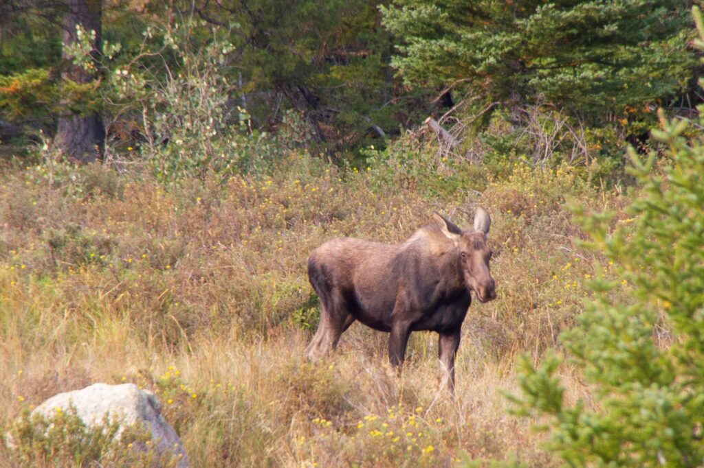
We turned around at this point and retraced our travel back to the Beartooth Highway. About five miles before we reached the junction with the Beartooth Highway, Colin yells out, “Moose!!!” There was a mama moose grazing in a bog with a few cattle nearby. Our first wildlife sighting of the trip!! Colin was able to capture some nice photos of the moose before she got spooked and ran off into the woods.
We arrived at the Alpine Motel in Cooke City for our nights lodging. Apparently, Cooke City is a town where you can go “if you don’t want to be found”. There is one main street, no cell service, and limited WI-FI. The hotel was clean and basic. Colin and I split a large pizza for dinner and it was really good (or we were just really hungry). We would later discover that it was the best food bargain of the trip – dinner for a total of $16. Another early bedtime, getting ready for our first day in Yellowstone tomorrow.
Day 3 – Lamar Valley & Mammoth Springs, Yellowstone National Park
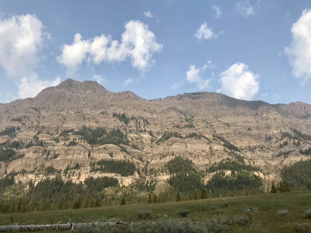
Woke up at 8AM to sunny skies and cold temperatures (34 degrees). After breakfast in our room, we checked out and our Yellowstone adventure started. The Northeast Entrance to Yellowstone is only 4 miles from Cooke City. Two minutes into our drive (before we even entered Yellowstone) we encountered our first wildlife of the day – a large bison grazing by the side of the road. Of course, we had to pull over and take a photo. We also stopped to take a photo at the “Welcome to Yellowstone National Park” sign. There are 5 entrances into Yellowstone: North (Gardiner, MT), Northeast (Silver Gate, MT), East (Cody, WY), South (John D Rockefeller Highway connecting to Grand Teton National Park, WY), and West (West Yellowstone, MT). We would utilize four of the five entrances while visiting, missing out on the West Yellowstone entrance.
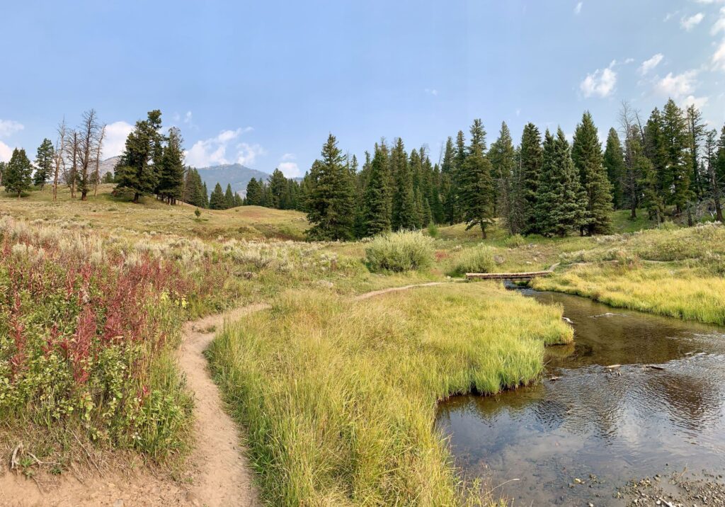
Our first stop of the day was at Trout Lake, located 1.5 miles south of the Pebble Creek campground. There is a short 1.2-mile lollipop hike to the lake. The first quarter mile of the hike is quite steep to reach the lake (in my mind more the size of a pond) but once we reached the lake the trail was flat. It was very peaceful with only a few hikers. This is supposed to be a good area to see wildlife, but the only thing we saw were some ducks and fish. It was a nice introduction to the park and a nice warmup hike.
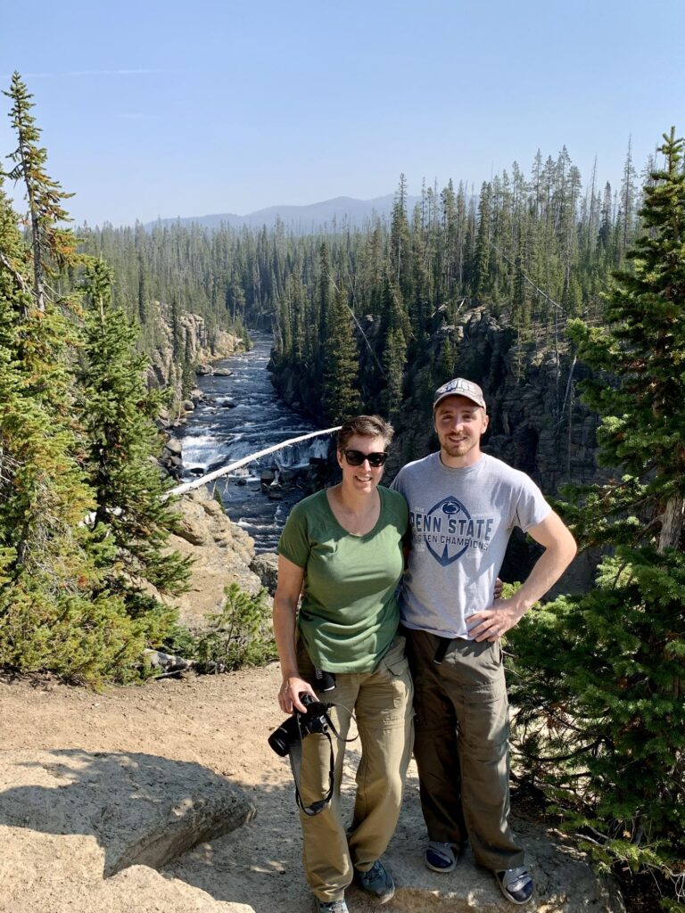
We drove on and entered the Lamar Valley, also known as the “American Serengeti” due to its large population of wildlife. We were only on the trail a short while before we had our first wildlife encounter – a very close encounter with a pronghorn. We were hiking up a small rise, when just as we got to the top, a pronghorn was walking up from the other side. We stopped in our tracks and started backing up, but the pronghorn kept walking towards us. Finally, he detoured off to the left and we were able to continue on our way.
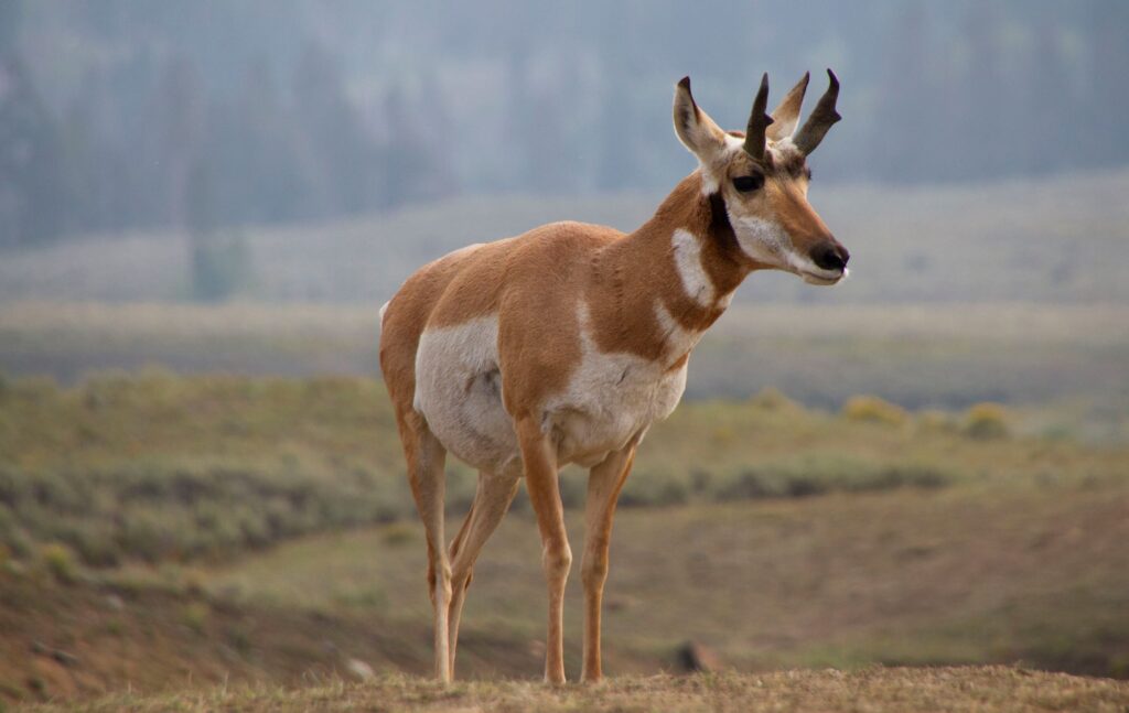
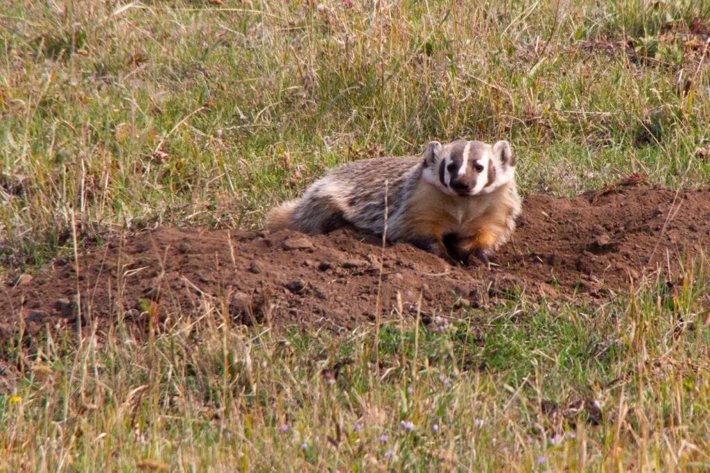
This hike was mostly level, as we were walking thru grassland. We had a lone bison walking parallel to us for a while, he eventually crossed over the trail after we had passed. We saw a herd of pronghorn in the distance. We also saw our first badger. The badger was quite entertaining as he popped up out of a hole in the ground and then proceeded to roll around in the dirt. Unfortunately, we were so entertained by the badger that we missed a wolf who went after the pronghorn herd. We then came across a large herd of bison that were blocking the trail. They were quite noisy. Other hikers were detouring around them, but we decided to turn back as we had other things we wanted to do that day and our total hike was already going to be about 5 miles roundtrip.
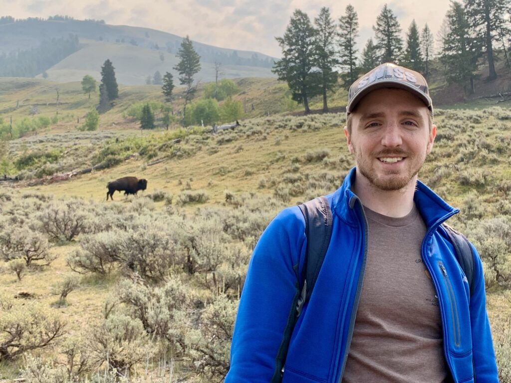
We continued heading west along Northeast Entrance Road towards Tower Junction and paralleling the Lamar River. We found a nice place to pull off the road, found a big rock to sit on, and enjoyed our lunch while enjoying the Lamar River. Our next stop was at the Yellowstone River picnic area. There was a trailhead for three different trails that left from this picnic area. We are not really sure which trail we were on but we hiked up a steep trail to get to the top of a ridge and walked along the ridge for about 0.5 miles. We had a beautiful view of the Yellowstone River and the canyon it was creating. We returned to the picnic area and continued west, passing by Tower Junction. Tower Junction is where the Northeast Entrance Road turns into the Grand Loop Road. The Grand Loop Road forms a figure 8. When exploring Yellowstone, highlights are usually designated on the “upper” or “lower” loop. Unfortunately, while we were visiting, the upper right portion of the Grand Loop Road was closed for 2021 due to ongoing construction. The most direct route from Tower Junction to Canyon Village, Dunraven Pass (the highest pass in the park), and Mount Washburn would be inaccessible.
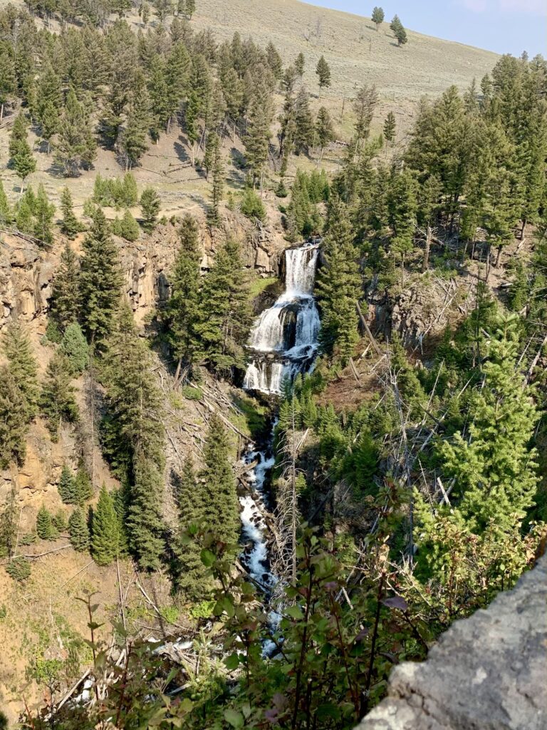
Our next stop was at Undine Falls located 4 miles east of the Mammoth junction. Undine Falls is a 60ft 3-tiered waterfall on Lava Creek and can be viewed from a roadside pull-out. Continuing west on the Grand Loop Road we pulled off at a short half mile boardwalk that had an interactive educational display called “Forces of the Northern Range”. There was some interesting information there about the plant & animal life and the geothermal features of Yellowstone.
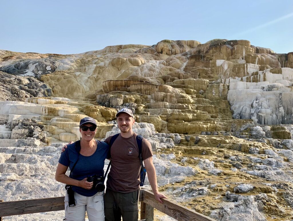
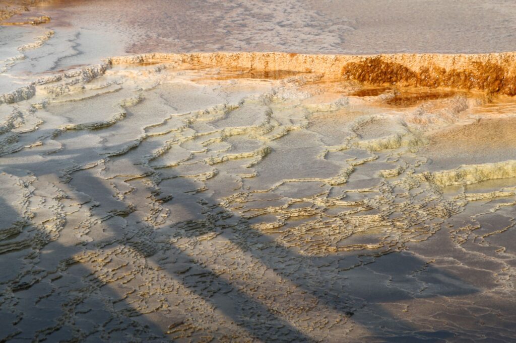
Our final destination for the day, before going to our hotel, was Mammoth Hot Springs. Mammoth Hot Springs is the where the park headquarters and Fort Yellowstone are located. There is lodging, a visitor center, a general store, and a post office also located there. This area was particularly crowded. We were there to view the impressive travertine hot springs.
We walked all the boardwalks on both the lower and upper terraces. There were too many features to name here, but they were all beautiful or interesting in their own way. Some of the hot springs were dried up. The area is constantly changing, some springs stop flowing and then months or years later, start flowing again.
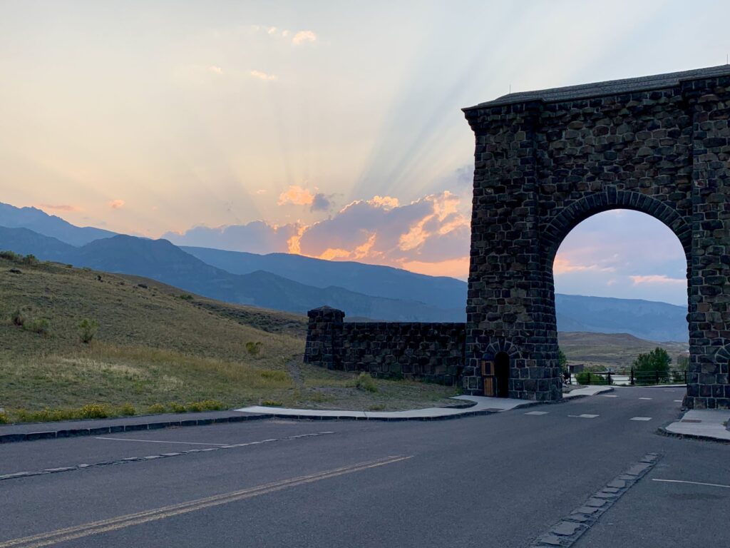
After Mammoth Hot Springs we drove north 5 miles and exited the park thru the Roosevelt Arch in Gardiner, MT where we were staying that night. The town of Gardiner was a cute little town with a lot of restaurants and gift shops. We were staying at the Absaroka Lodge which sat right on the Yellowstone River. There were 2 female elk outside of our room on the riverbank. We ate at Cowboy’s Lodge & Grille. After dinner we walked back to the entrance sign and the Roosevelt Arch for some photos at sunset. Another early bedtime.
Day 4 – Norris Geyser Basin & Grand Canyon of Yellowstone, Yellowstone National Park
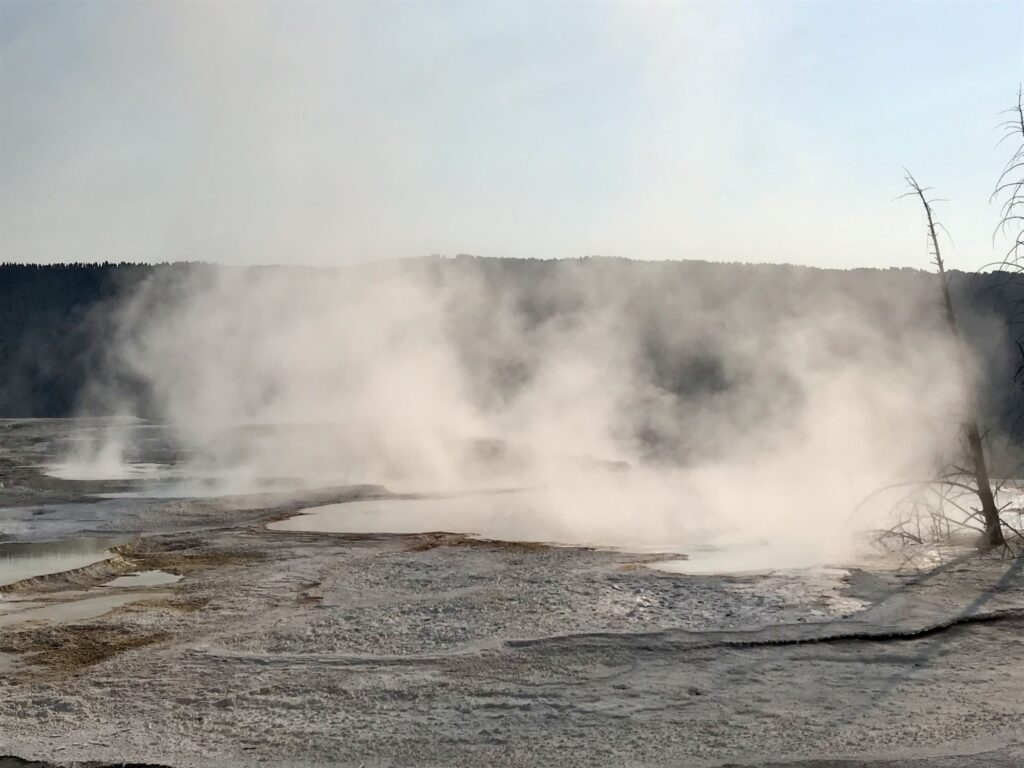
This morning we entered back thru the Roosevelt Arch at the North Entrance to the park. We had no line, which we were thankful for because we had heard there could be 2-2.5-hour lines at some of the entrances when the park is crowded. Since it was Labor Day weekend, we were anticipating crowds. We stopped at the sign for the 45th parallel of latitude where we were halfway between the north pole and the equator. I’m sure I’ve crossed over this 45th parallel at other times in my life, but this had a very nice backdrop to it. We continued driving south, back thru Mammoth Hot Springs on the Grand Loop Road. The springs took on a different appearance in the morning since the temperature was in the upper 30s and you could see lots of steam coming off the terraces. To our delight, the upper terrace parking lot was open so were able to see a few springs that we had missed the afternoon before.
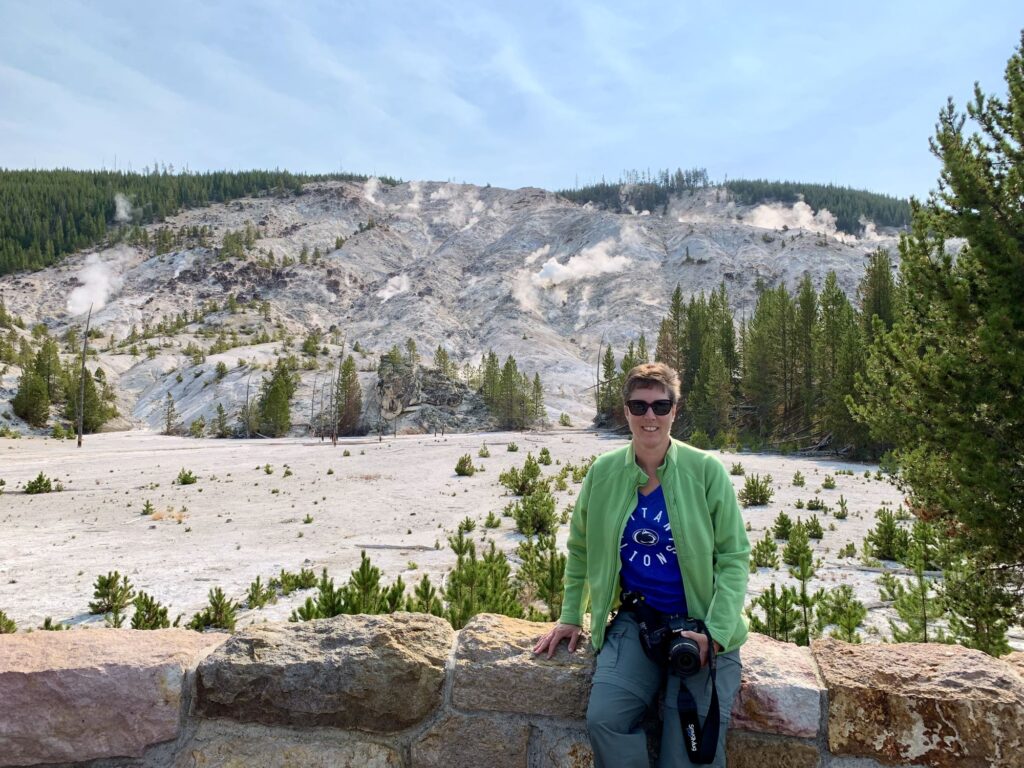
Continuing south, we traveled thru an area known as Golden Gate and stopped at a pull-off to view Rustic Falls, a 47-foot waterfall over basalt rocks. Next, we made a quick stop at Sheepeater’s Cliff which is an excellent example of columnar basalt. The cliffs are named after the Tukudika, or Sheep-Eaters, a band of Eastern Shoshone Indians. Another quick stop at Obsidian Cliff to read the information on how the Obsidian Cliff was formed (lava rich in silica, cooled and formed into crystals creating a black glass that can be honed to a very thin edge. Next, we stopped at Roaring Mountain. Roaring Mountain looks like a smoldering hillside and is the remnants of a steam explosion back during the Ice Age. In the early 1900’s these roaring steam vents could be heard miles away. Today, the noise is much muted but can still be heard. The next stop was our first major destination of the day – the Norris Geyser Basin.
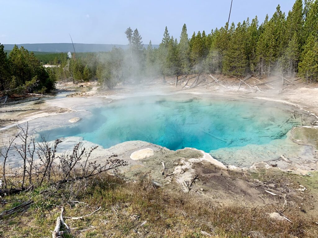
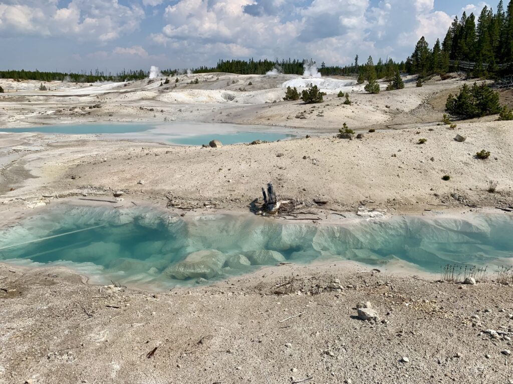
The Norris Geyser Basin is named after Philetus Norris, the second superintendent of Yellowstone who provided detailed information on the thermal features. It is the hottest and oldest thermal area in the park. It consists of two areas: the Back Basin and the Porcelain Basin. Parking is at a premium here, but we were able to get a spot. We first explored Back Basin which is famous for Steamboat Geyser and Echinus Geyser (ph 3.5). Steamboat Geyser is the tallest geyser in the world (300-400ft) but is very unpredictable and can go days, to months, to years between eruptions. The last major (400+ ft) eruption happened on May 31, 2021. There are warning signs in the parking lot that if it erupts there can be damage to your car!! The other famous geyser in this section is Echinus Geyser, the largest acid-water geyser known. Its waters are almost as acidic as vinegar. It used to erupt quite frequently but since 1998, it has been very unpredictable. There was a 1.5-mile boardwalk thru this section. The Porcelain Basin was much more wide open and was very bright. There was a 0.75-mile boardwalk thru this section. In my next life, I would like to be responsible for naming all of the thermal features. There is also a nice museum in this area that gives detailed information on the four types of thermal features seen: fumaroles, mudpots, geysers, & hot springs. After spending about 2 hours exploring this geyser basin, we continued on our journey, now heading east on the Norris Canyon Road towards the Grand Canyon of Yellowstone.
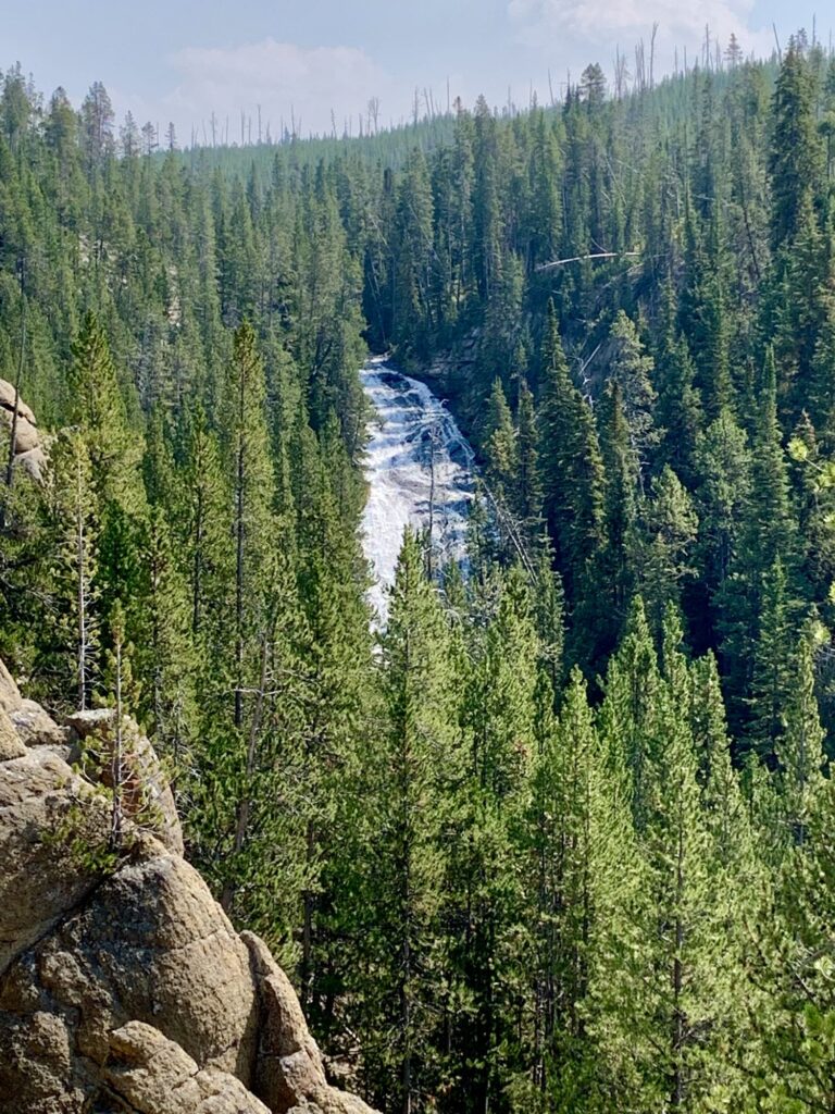
We took a short 2.5-mile detour off Norris Canyon Road to see Virginia Cascades, a 60ft waterfall on the Gibbon River. This was a one-way, narrow road that had a nice view of the falls. Past the falls we found a picnic area to eat lunch. We drove through a very forested area, some of which had been burnt out in recent forest fires. 80% of the forests in Yellowstone are made up of Lodgepole Pines. They got their name because they are the trees that the Native Americans would use to make their tepees and lodges. They live to be about 200 years old and grow very tall (up to 75 ft) and very straight. They do not have a tap root system and their root base is very shallow, so they can easily be blown or knocked over. For this reason, they grow very close together and the outside trees protect the inside trees. The Lodgepole pine is what is known as a successional tree, it is the first type of tree able to germinate after a fire.
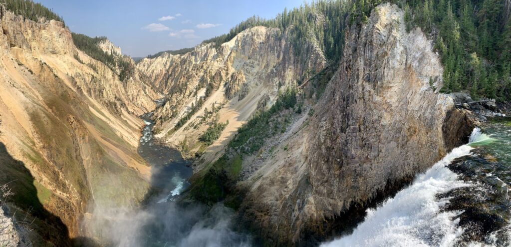
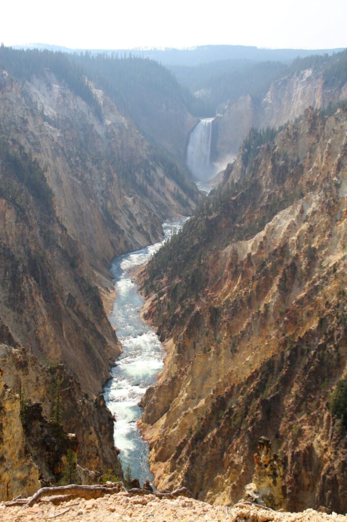
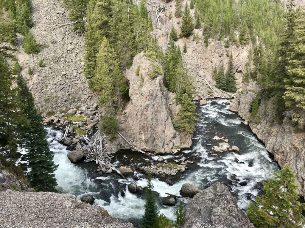
At Canyon Junction we headed south on the Grand Loop Rd. We passed by the North Rim Drive and continued on to the parking lot for the Brink of the Upper Falls. There was a short walk to an overlook of the falls. This is the smaller of the two falls along this section of the Yellowstone River. We then returned to the Grand Loop Rd and crossed over a bridge so we could get to the South Rim of the Canyon. We parked there so we could get a good view of the Upper Falls from above. To our dismay, the Uncle Tom’s Trail was closed. The trail consists of 300 metal stairs that take you down to get a view of the Lower Falls from inside the canyon and it was under repair. We returned to the car and continued along the south rim to the end at Artist Point. At Artist Point you get an incredible view of the Lower Falls and the canyon. This was one of Colin’s favorite areas in the park. After taking numerous photos, we returned to the Grand Loop Rd and headed north, back towards Canyon Village. Just before reaching Canyon Village, we turned on North Rim Dr, a one-way road, to visit two more locations to view the falls. The first stop was at the Brink of the Lower Falls. We had to walk down a very steep 0.7-mile trail that has ten switchbacks on it. You get a very closeup view of the Yellowstone River going over the falls. After huffing back up the switchbacks we drove to Inspiration Point which was the final view we would capture of the canyon both up and downstream.
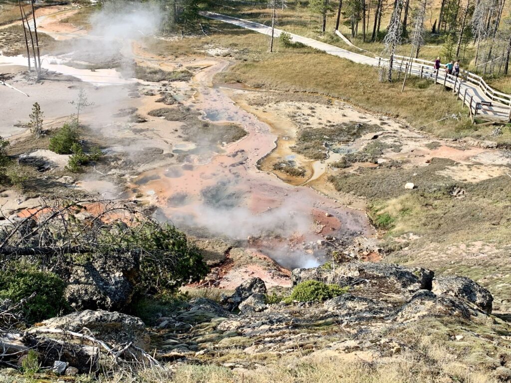
After taking in all the views, we re-traced our travels, heading west on Norris Canyon Rd, until we reached Norris Junction. We then turned south on the Grand Loop Road, heading towards Old Faithful, our lodging for the next two nights. While we were tired and anxious to get to our lodging, we continued to pull off at stops along the way recommended by our Gypsy app (or at least bookmarked them to come back the next day). We stopped at two more geothermal sites: Artist Paintpots, which had a 1-mile loop trail, and Beryl Spring which was a roadside pull-off and is one of the hottest springs in the park.
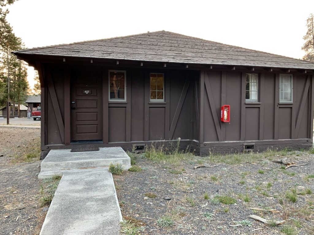
We finally reached the Old Faithful area around 7pm. There are three different lodging accommodations in this area: Old Faithful Inn, Old Faithful Lodge, and Old Faithful Snow Lodge. We took a brief peek inside the Old Faithful Inn, a historic lodge built in 1903. It is the largest log hotel in the world. We then went over to the Old Faithful Snow Lodge to check in. We were staying in the Frontier Cabins which were actually part of the Old Faithful Lodge. We ate takeout from the Obsidian Dining Room for dinner. Our cabin was pretty basic with a double bed and a twin bed. We even had cell service & WI-FI (weak), both of which were unexpected. Another early bedtime.
Day 5 – Upper, Mid, Lower, & Biscuit Geyser Basins, Yellowstone National Park
We started our day by traveling back north on the Grand Loop Road to Madison Junction. Our plan was to visit all of the places we missed the afternoon before, between Madison Junction and Old Faithful. Our first stop was Firehole Canyon Road. This was a 2 mile, one way road that parallels the Grand Loop Road. The highlight along the road is Firehole Falls, a 40 ft waterfall on the Firehole River. Further down the road there is a swimming area which is now closed. It was one of only two areas where you could swim in the park. Back on the Grand Loop Road we continued south to the Fountain Paint Pots. The Fountain Paint Pots has a 0.5 mile level boardwalk trail. What makes this area special is that it has all four types of geo-thermal features: mudpots, geysers, hot springs, & fumaroles.
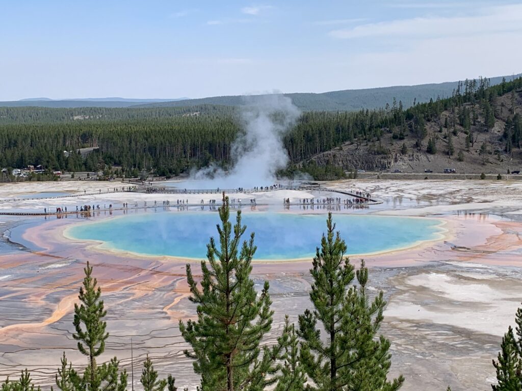
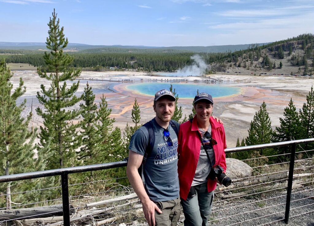
Continuing south on the Grand Loop Road, our next stop was supposed to be at the Midway Geyser Basin to see the Grand Prismatic Spring. The parking at this geyser basin was crazy, traffic was backed up trying to get into the lot. We decided to skip the actual geyser basin and instead continued further south to the parking area for Fairy Falls. Colin did not want to do the 5.4 mile round trip hike to Fairy Falls, so instead, we only hiked the 1.6 mile round trip trail to the Grand Prismatic Spring overlook. The trail is mostly flat except for the last quarter mile. It was quite warm and there is no shade on the trail. The view from the overlook is amazing. It is recommended to visit mid-day when the sun is directly overhead, which is when we were there. If you go early in the morning when the temperatures are much colder, there is too much steam over the spring and you cannot see the vibrant colors.
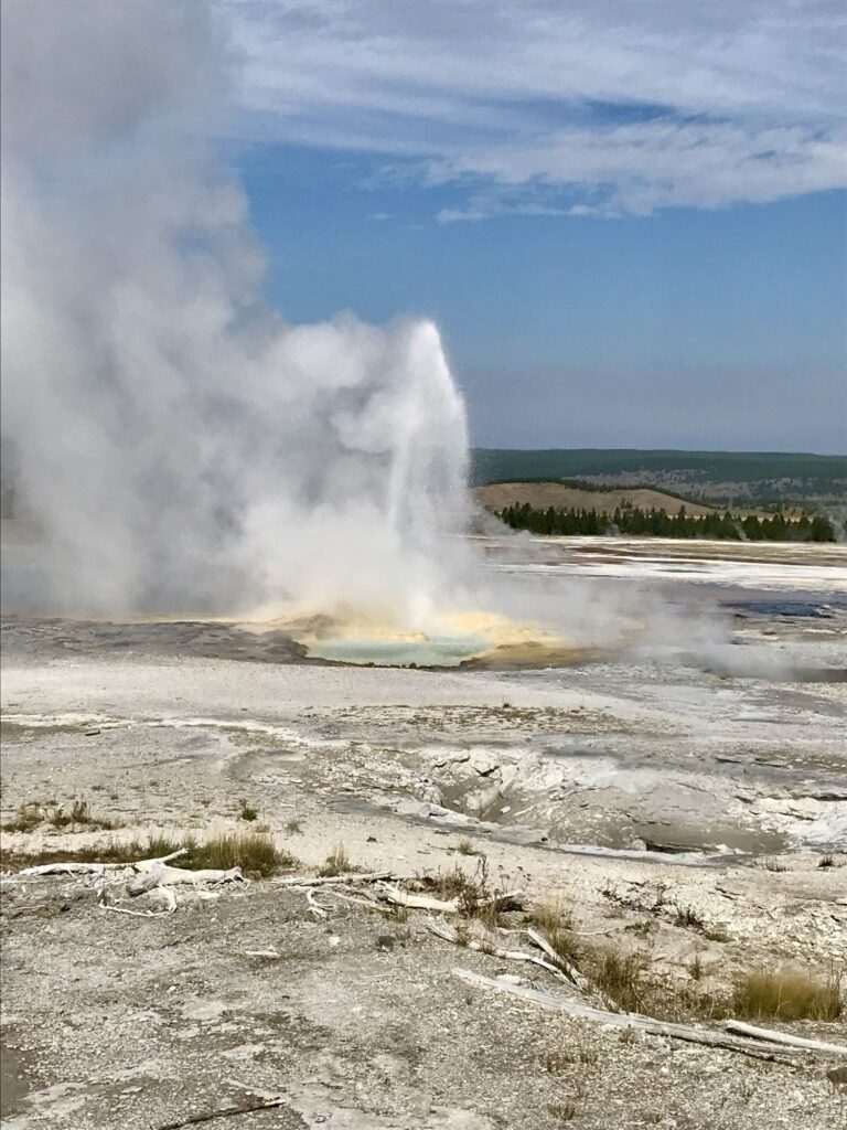
To get to our next stop, we back tracked a little and drove back north on the Grand Loop Road to Firehole Lake Drive. This is a one way, 3-mile scenic drive. The highlight of this drive is Great Fountain Geyser. The Great Fountain Geyser is the only geyser in the Lower Basin that the National Park Service has predictions for. The eruptions occur every 11.5 hours +/- 2 hours , last for 45-60 minutes, and are 100+ ft tall. The next scheduled eruption was supposed to occur at 2:30PM and since we were within the minus 2-hour window we decided to take a look. According to our Gypsy app, there are certain signs to look for that usually occur about an hour before the eruption. We stopped at the Great Fountain Geyser, but didn’t see any of the signs, so we continued on the drive. We passed by White Cone Geyser, Pink Cone Geyser, and a wallowing bison to finish out the drive.
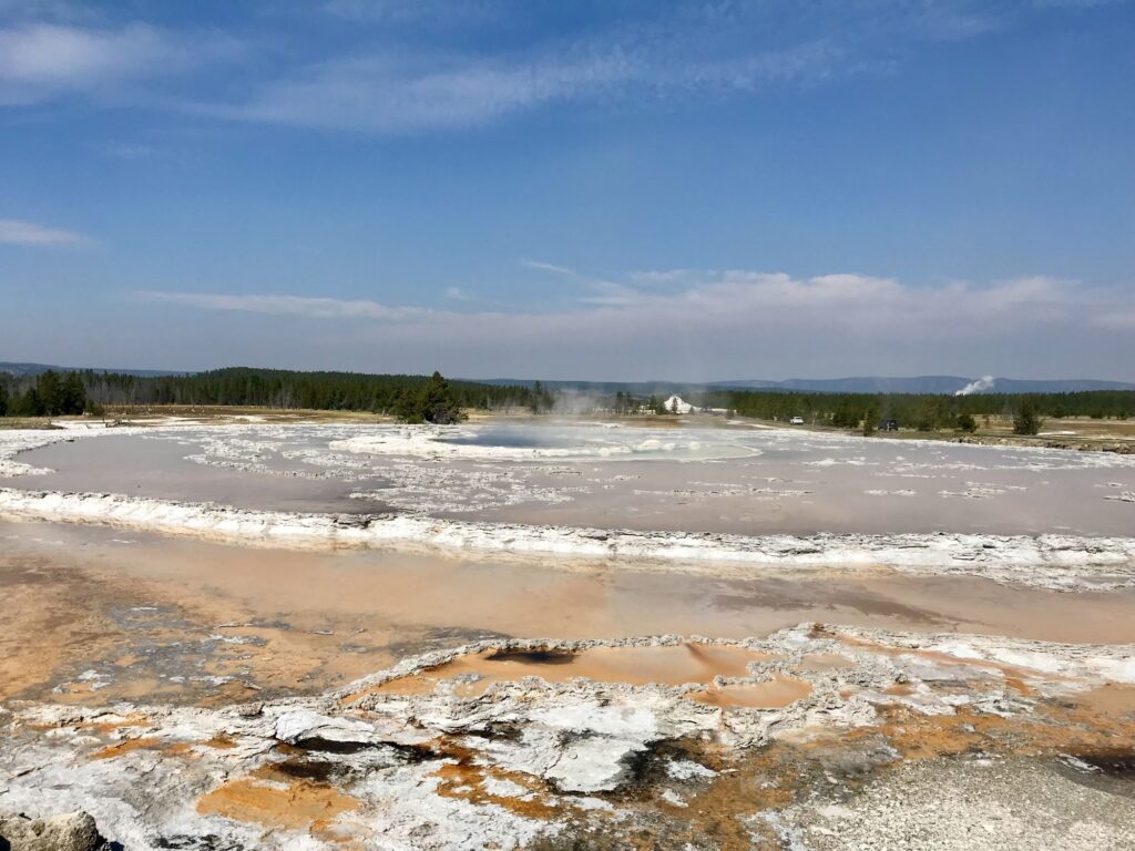
Upon exiting, we traveled on the Grand Loop Road to the Whiskey Flat Picnic Ground for lunch. After lunch we decided to take one more shot at the Great Fountain Geyser so we headed back to Firehole Lake Drive. Nothing much was going on except that there were a lot more people as we were now within an hour of the predicted eruption time.
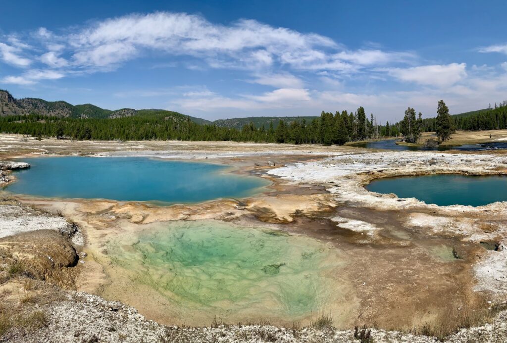
Back to the Grand Loop Road, we now headed south to Biscuit Basin. Biscuit Basin has a 0.7-mile lollipop boardwalk trail. The primary feature here is the Sapphire Pool, a beautiful blue geyser. The basin is named after the unusual biscuit-like deposits that were once deposited around this Sapphire Pool. In 1959 an earthquake caused the geyser to erupt and blew all the deposits away. We did get to see Jewel geyser erupt twice in this area. It erupts approximately every six minutes and shoots approximately 10 ft in the air.
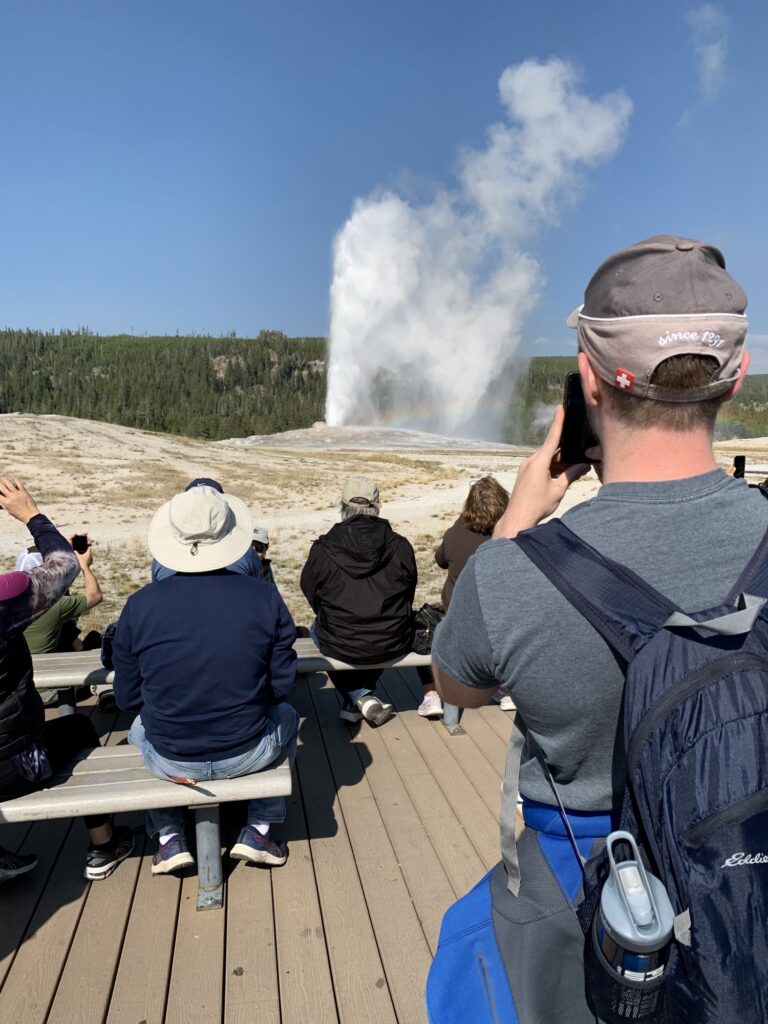
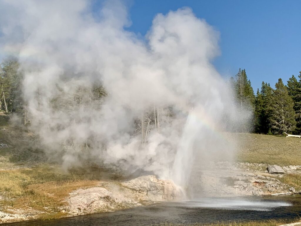
After Biscuit Basin, we continued south on the Grand Loop Road back to our cabin in the Old Faithful area. We relaxed for about 45 minutes in the room before walking over to the Old Faithful viewing area. Old Faithful erupts approximately every 75 minutes +/- 10 minutes. It went off for us a little early and lasts only a few minutes. The eruption can be anywhere from 100-180ft in the air. For many people, this is the highlight of their trip. While I can say I am glad to have seen it erupt, this would not crack the top 20 of my favorite things on this trip. We spent the next 2.5 hours exploring the Upper Geyser Basin around Old Faithful. The two highlights along the boardwalk for us were the Riverside Geyser and the Morning Glory Pool. The Riverside Geyser erupts approximately every 6.5 hours +/- 30 minutes. We were walking by this geyser within the – 30 minute window and the park ranger suggested that if we had the time we should really stay and watch. To our delight, the geyser erupted 15 minutes later. It sits on the bank of the Firehole River and the eruption shoots water 75 ft high into the river. The eruption lasted almost 20 minutes. The Morning Glory Pool is the farthest feature from Old Faithful (about a mile away) but well worth the walk. The colors are simply stunning.
We walked back to the Old Faithful Lodge where we got takeout from the cafeteria. Then it was a quick walk back to our cabin, a shower, and bedtime.
Day 6 – West Thumb Geyser Basin, Yellowstone National Park & Grand Teton National Park
Woke up at 8am, ate our last two blueberry muffins, made a quick stop at the General Store for some more souvenirs, and then it was on our way to the West Thumb Geyser Basin and then onward to Grand Teton National Park. We left the Old Faithful area traveling south on the Grand Loop Road. We had only gone about 2.5 miles when we pulled over to look at Kepler Cascades from the roadway. Kepler Cascades is a waterfall on the Firehole River which drops 150 feet over multiple drops, the longest being 50 ft.
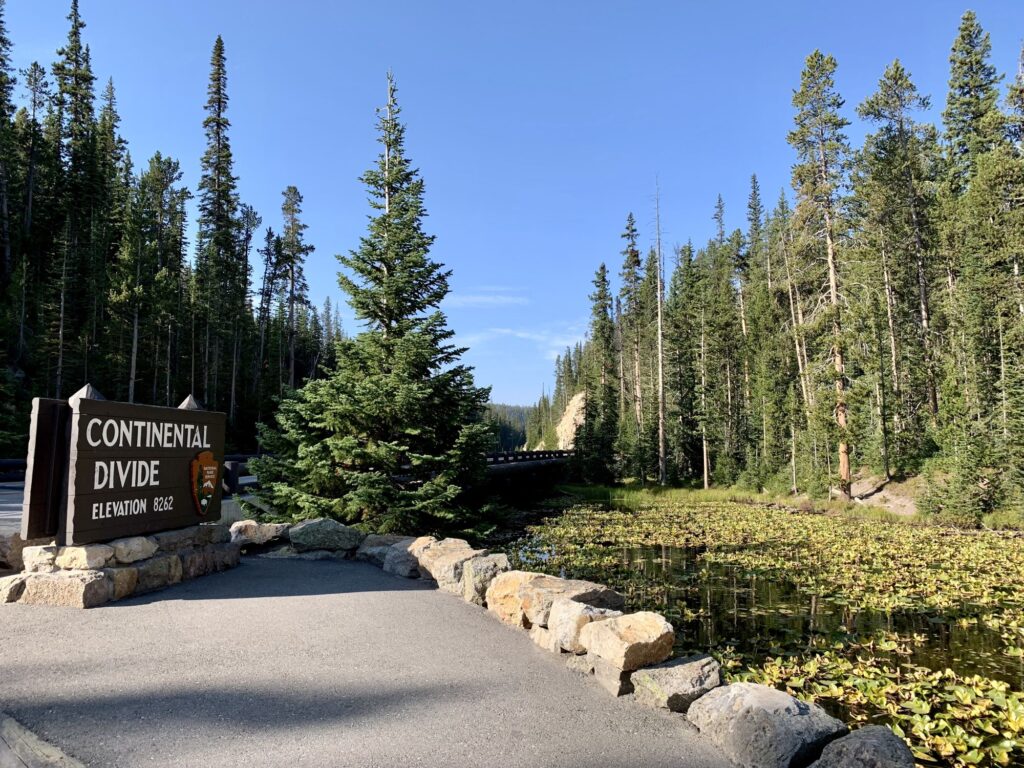
We continued south on the Grand Loop Road crossing over the Continental Divide and Isa Lake at 8,262 ft in elevation. Isa Lake had a lot of water lily pads on it and I am sure looks gorgeous when the lilies are blooming. Isa Lake is famous for being the only natural lake in the world that drains into both the Atlantic and Pacific Oceans. Not only does it drain into both oceans, but it does so backwards – the western end of the lake drains into the Atlantic and the eastern end of the lake drains into the Pacific. We took a few touristy pictures and then continued heading south until we arrived at West Thumb Geyser Basin.
West Thumb Geyser Basin sits right next to Yellowstone Lake, the largest freshwater lake above 7,000 ft in North America. Yellowstone lake is 20 miles long and 15 miles wide and covers 136 square miles, with an average depth of 139 ft. The lake freezes over in early December where as much as 3 ft of ice covers the lake except in shallow spots where there are hot springs. We walked along a short loop boardwalk trail amongst the thermal features and then along the lakeshore. My favorite geothermal feature was Fishing Cone. In the 1800s, fishermen would fish in Yellowstone Lake, and while the fish was still caught on their fishing line they would then dip it in Fishing Cone Geyser to cook it.
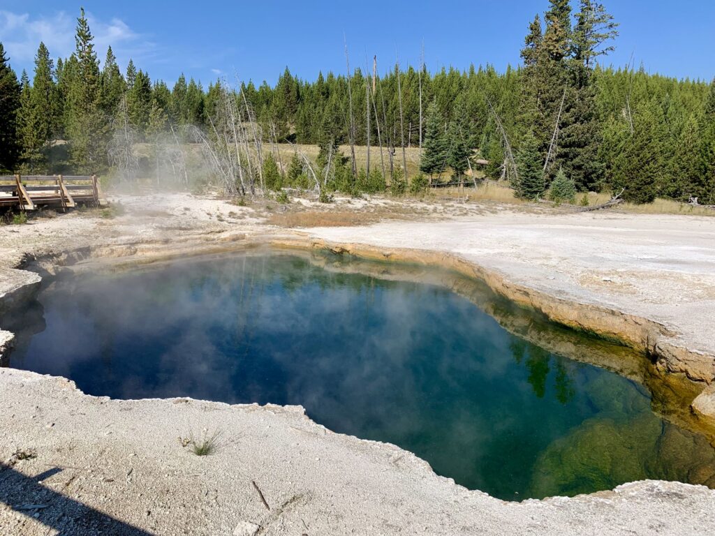
After leaving West Thumb Geyser Basin, we continued driving south towards Grand Teton National Park. We drove thru Lewis Canyon and stopped at Lewis Falls. Lewis Canyon had some beautiful overlooks, but since they were all on the left side of the road, we decided that we would pass on them for now and stop on our way back thru the canyon heading north a few days later. Our next stop was Moose Falls located just north of the Yellowstone South Entrance. Moose Falls is a 30 ft waterfall on Crawfish Creek.
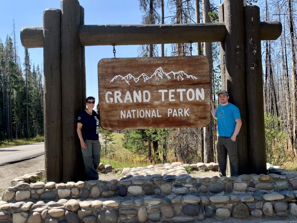
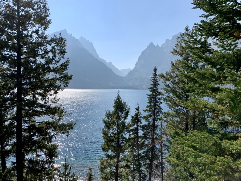
We exited Yellowstone at the South Entrance and continued traveling south along the John D. Rockefeller Jr. Memorial Parkway. We stopped to take our tourist photo at the entrance sign, along with a few other people. We continued driving south and then it seemed like from out of nowhere, the Grand Tetons appeared on our right across from Jackson Lake and Colter Bay. We stopped at the Visitor Center in Colter Bay and hiked along what our Gypsy app called “The Landmark Trail”, however we could find no signage for the Landmark Trail and followed signs for the Lakeshore Trail. There was a strong haze in the air (we believe from forest fires in California), so it was not the crystal-clear view you usually see photos of, but nonetheless, was very pretty.
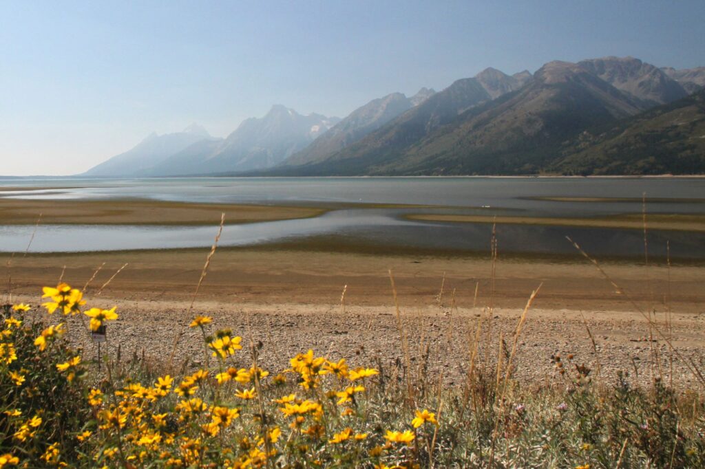
After leaving Colter Village, we continued driving south, passing Jackson Lake Lodge (where we would be staying the next two nights), turning right onto Teton Park Road. We continued over the Jackson Lake Dam. Further down the road we turned left onto Signal Mountain Road and made the 5-mile drive to the summit. It is a pretty, forested, drive with a few switchbacks. You do not get the views until you reach the summit. There are 2 lookout points. The Jackson Point overlook looks out on the Teton Range. The Eastview Lookout looks out over the expansive Jackson Hole Valley.
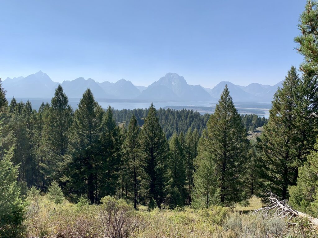
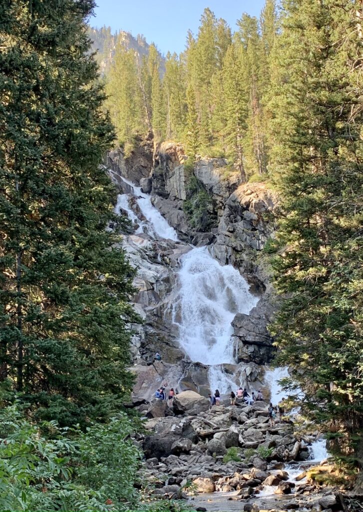
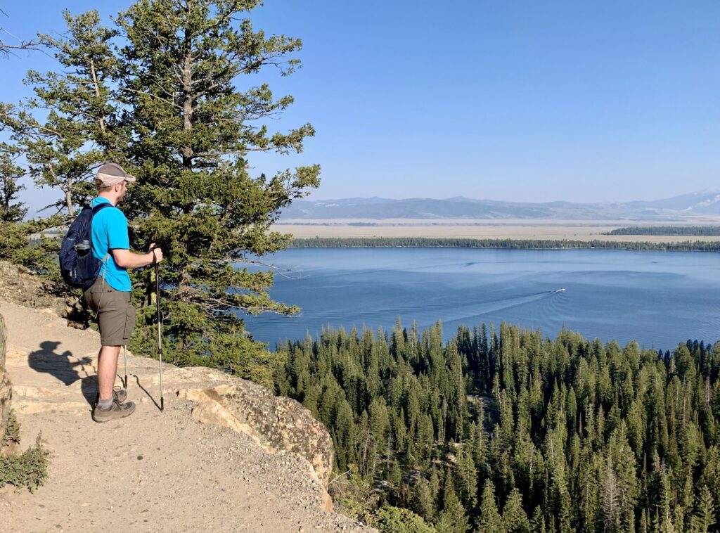
After exiting the Signal Mountain area, we continued south on Teton Park Road and then got off on the one-way Jenny Lake Road. The Jenny Lake area was the most crowded area we encountered (both days) of the entire trip (Midway Geyser Basin in Yellowstone was second). The drive was beautiful and fortunately we were able to get a parking spot at one of the scenic lookouts. Upon returning to Teton Park Road, cars were parked alongside the road for over a mile before reaching the Jenny Lake Visitor Center. Since it was later in the day (~4PM), we took a chance and pulled into the main parking lot. Our decision paid off and we were rewarded with a spot. Since we got a parking spot we decided to see as much of this Jenny Lake Area as possible in case we were not as fortunate the next day. We took a boat ride from the dock at the south end of Jenny Lake over to the west dock, this saved us a 2.5 mile hike each way and cost $18 rt/pp. Upon arriving at the west dock, we hiked the 0.5-mile trail to Hidden Falls. The Jenny Lake area is frequented by bears, and we were prepared with our bear spray. Hidden Falls is along Cascade Creek and drops 100ft. From Hidden Falls, we continued on another 0.5 miles until we reached Inspiration Point which presented gorgeous views of Jenny Lake, Jackson Hole, and the Gros Ventre Range. The trail from Hidden Falls to Inspiration Point was quite steep and exposed. We continued a little further past Inspiration Point hoping to get to the entrance of Cascade Canyon but had to turn around due to time constraints. We stopped at Signal Mountain Lodge to pickup a take-out dinner.
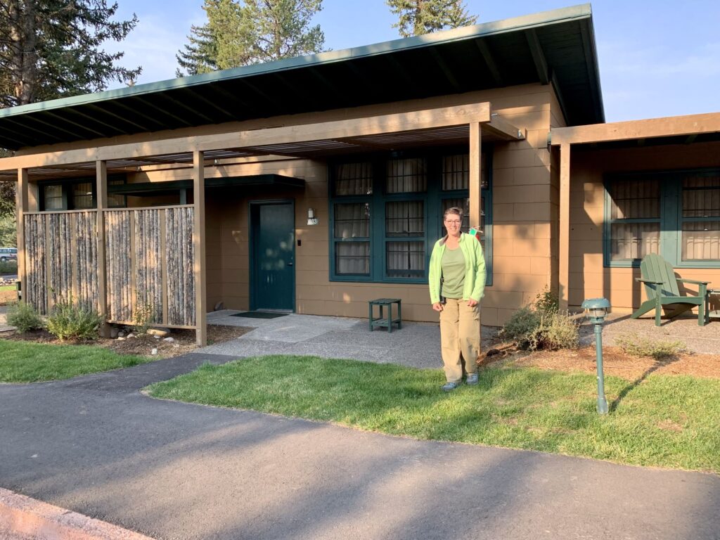
Around 8:15pm we checked in at the Jackson Lake Lodge. Surprisingly, it was the nicest lodging of our trip and had both a strong cell signal and WI-FI (still no TV). Early bedtime as usual, resting up for the next day’s adventures.
Day 7 – Spring, Leigh, & Phelps Lake, Moose-Wilson Road, Grand Teton National Park
We ate our breakfast on the patio of the lodge overlooking what was supposed to be, a beautiful view of the Tetons. Instead, we saw a hazy silhouette of the Tetons. We drove south from the lodge on Teton Park Road to our first destination at String Lake. The previous day there was absolutely no parking available at String Lake, today, prior to 9AM we got a spot in the first row. I met up with a ranger in the parking lot and asked him if there had been any bear activity on the String and Leigh Lake trails. He replied that he had not heard of any today or the prior day. When I expressed that we would like to see a bear and a moose, he stated that we should visit Moose-Wilson Rd, where we would be almost guaranteed to see both animals. Moose-Wilson Rd had been closed just prior to our trip because the bears were feeding on huckleberries alongside the roadway, but it was now open. Colin & I walked 1.5 miles along String, and then Leigh Lake before turning around. While from afar, the Tetons were blanketed by a haze, the views from this trail treated us to magnificent reflections of the Tetons in the lakes. The lakes were very calm, and we saw quite a few kayakers.
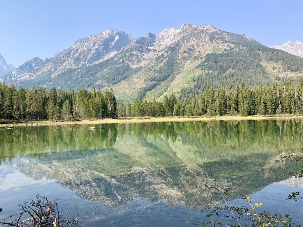
After the String and Leigh Lake hike we traveled further south past the Jenny Lake Visitor Center. This was new territory for us. There was a nice bike path along this stretch of highway. We had planned to stop and hike to Taggart and Bradley Lakes but by 11AM when we were driving by, the large trailhead parking lot was already full. We continued traveling south until we reached Moose-Wilson Road. This road is a back road that connects the town of Moose with the town of Wilson and passes by Teton Village a premier skiing destination.
As soon as we turned on Moose-Wilson Road we pulled off into a parking lot that overlooked a bog. We went on a visual search for some moose but came up emptyhanded. We then walked along a trail overlooking a bog like area. The trail was pretty boring, so we headed back to the car and continued south along Moose-Wilson Rd. It is a pretty drive and very narrow. We turned off on Whitegrass Ranch Road and drove up an unpaved, rutted, very rocky, road for over a mile until we reached the parking for the Death Canyon Trailhead. I would not recommend driving this in a regular vehicle. We probably shouldn’t have taken the rented Rogue on this. The Phelps Lake Overlook trail also leaves from this trailhead and is much shorter and less strenuous than the Death Canyon trail. The Phelps Lake Overlook trail is a 2.0-mile moderate trail through a forested area. On a clear day, I imagine the view is pretty awesome, but since it was so hazy, we were not particularly impressed (especially for how long it took to drive to the trailhead). We made it back down the rutted road and continued south on Moose-Wilson Rd.
Our next stop was the Laurence D. Rockefeller Preserve. There is a small parking lot at the preserve. This is intentional so as to limit the number of visitors who can be there at one time. There is a queue line that you can wait in (one car out-one car in). There were 3 cars ahead of us in line and we waited about 15 minutes. There is a nice museum there which emphasizes that you should use all your senses when exploring the area. We took the 3.2 mile out and back trail to Phelps Lake (the same lake we just viewed from the overlook). There is normally a slightly longer loop trail, but the bridge connecting the two trails was under repair, so you had to choose one of the routes. It was a nice, forested trail that follows along Lake Creek to Phelps Lake. The view of Phelps Lake was much nicer from this vantage point. We did not see any wildlife along the trail but apparently, the preserve had been quite active earlier in the day.
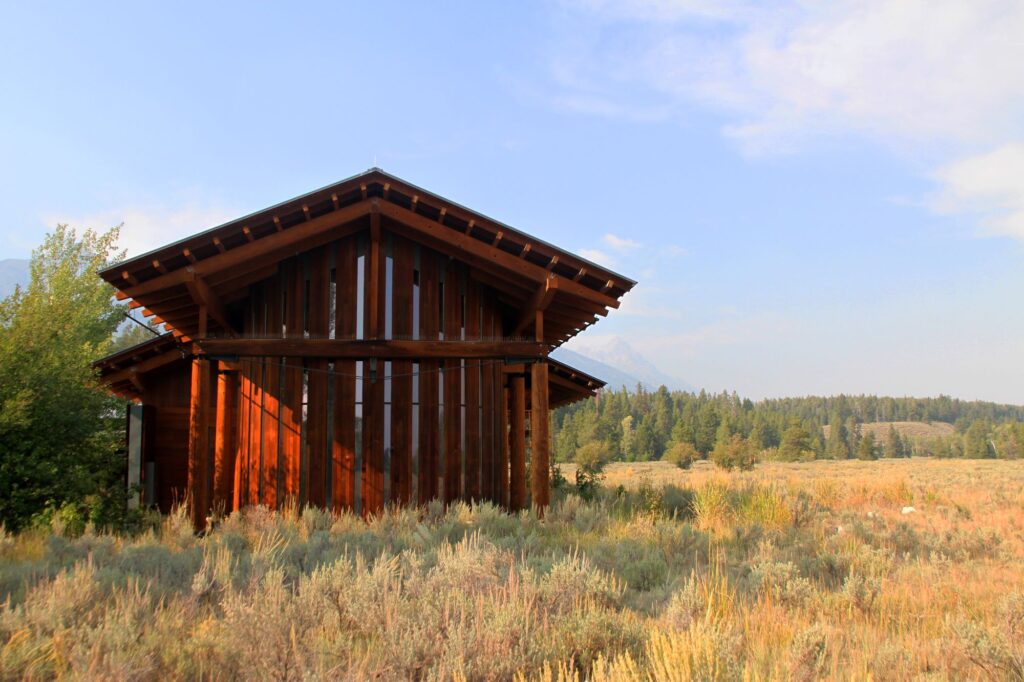
After leaving the preserve we continued south on Moose-Wilson Road to look for wildlife. The road became unpaved for a while but was relatively smooth. We decided to turn around and head back the same way, instead of intersecting with the highway in Jackson. We were trying to avoid traffic and we figured we would have a better chance at spotting wildlife on this backcountry road. Our instincts were correct and about a mile before the bog parking lot where we had stopped earlier in the day, Colin yells out “MOOSE!!”. It was a bull moose grazing alongside the roadway. He was partly hidden by trees and grass, but Colin got some nice photos of him. We continue driving north and then we saw a large crowd of people in the parking lot. BEAR!! There was a black bear looking for food in the area where we had been hiking that morning. We parked and joined the crowd to take photos. The rangers were very good about keeping everyone back, but I’m sure we were closer than 100 feet from the bear.
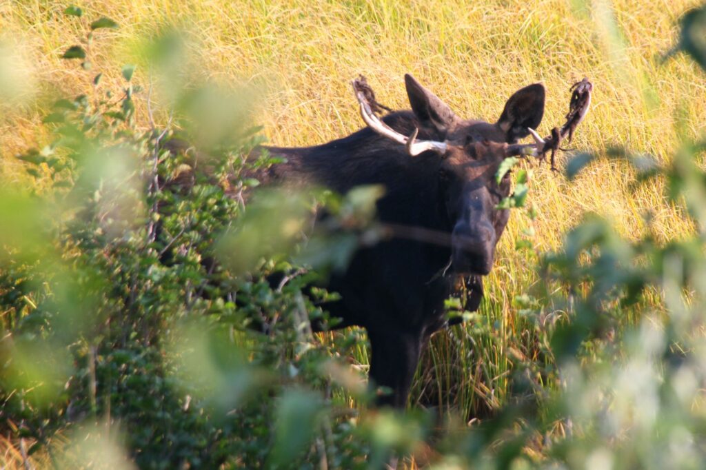
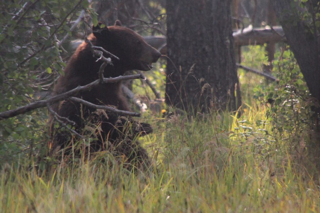
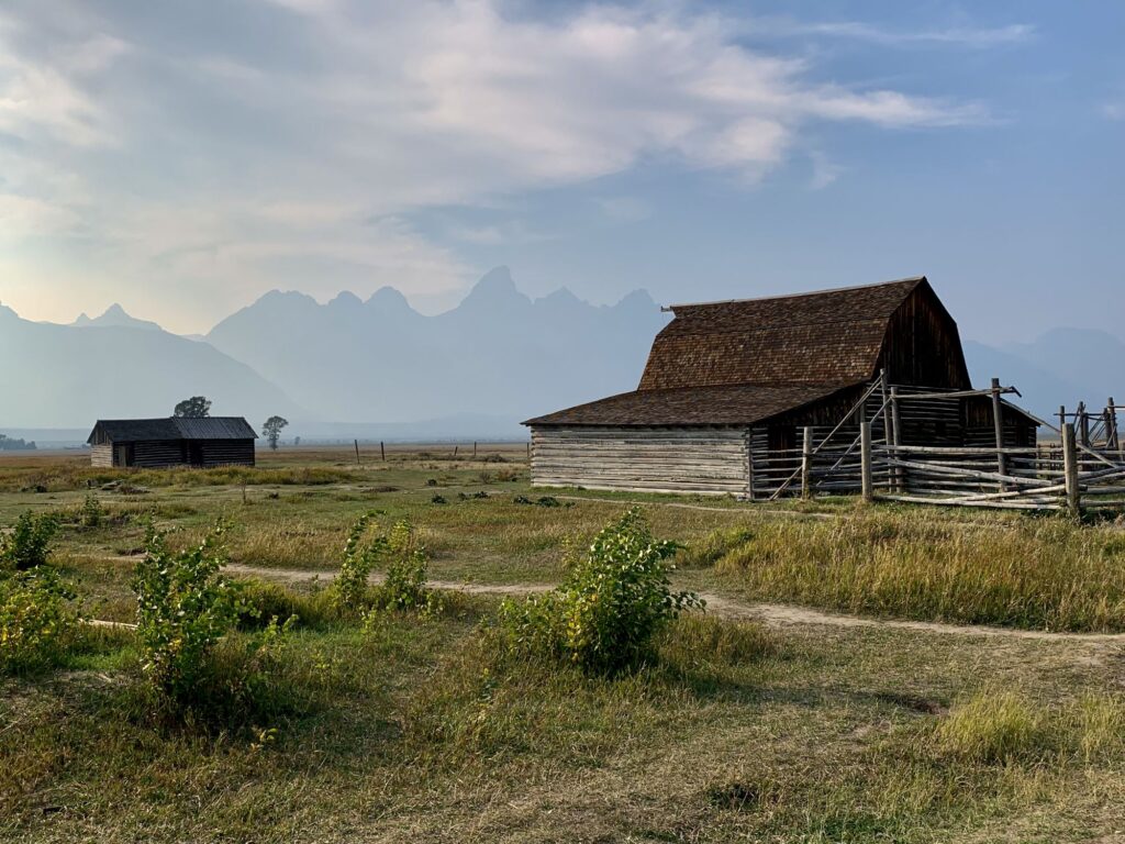
Instead of retracing our morning drive on Teton Park Road, we chose to return to the lodge via Highway 89 north which completes the Grand Teton National Park scenic loop. This is supposed to be a very scenic drive with more chances to spot wildlife. We stopped at Mormon Row, which is a historic section of the park with some beautiful old barns. One of the iconic photos people take when visiting the park is of these barns with the towering Teton Range in the background. Unfortunately, the haze made the Teton Range in the distance appear as silhouettes which was quite disappointing. We continued on and started to go down Schwabacher Road which gives another iconic view of the Teton Range reflecting in the Snake River. The road is unpaved, and we decided to turn around because we doubted that the views would be that spectacular due to the haze. We figured if the skies were clearer the following day, we would return. We did stop at the Snake River Overlook and Oxbow Bend, two more iconic panoramic locations, but mostly to look for wildlife instead of the beautiful scenery.
We returned to the Jackson Lake Lodge and got takeout from the Pioneer Grill there. Since we were traveling during “the pandemic”, food options were very limited in the national parks. Most restaurants were take-out only. We ate our takeout on the patio and while eating, we saw a large group of people walking along the retaining wall and looking down below. Colin went to investigate and sure enough, there was a grizzly bear below, walking along a service road. I did not have my camera with me, but Colin got a quick photo on his cell phone. After we finished dinner, we walked along the retaining wall looking down into the meadow to see if we could see anymore wildlife. We did spot two elk, a male and a female. When we got back to the room we organized our luggage, getting ready for our checkout the next morning.
Day 8 – Hayden Valley, Fishing Bridge, Yellowstone National Park to Cody, Wyoming
We had high hopes this morning that the skies would be clearer, however one look out the huge windows of the Jackson Lake Lodge lobby and our optimism was crushed. Even though the skies were bright, we could not even see the Teton Range. We decided that we would eat a quick breakfast and then begin making our way north, back thru Yellowstone toward Cody, WY. We headed north on Teton Park Road and only a few miles later a wolf crossed right in front of us on the road. I had to come to a stop, as the wolf stopped on the shoulder of the road and stared right at us. We could see the transmitter collar on him. We learned that in Grand Teton NP, they collar many of their wolves and place ear tags on the bears so that they can track and study them. In Yellowstone NP, they do not tag any of the wildlife.
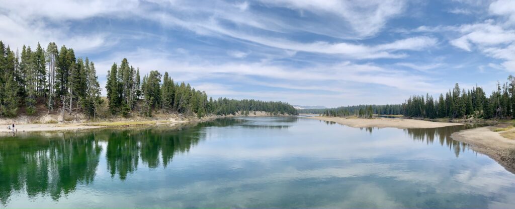
We re-entered Yellowstone NP and drove back thru Lewis Canyon where this time we stopped at all of the overlooks. At the West Thumb Junction we turned right, heading east on the Grand Loop Road. This was new Yellowstone territory for us. The road follows and gives expansive views of Yellowstone Lake. We stopped at the Yellowstone Lake Hotel and checked out the gift shop. This area reminded me very much of Acadia (minus the waves). At Fishing Bridge Junction we continued heading north on the Grand Loop Road towards Hayden Valley. Hayden Valley is considered a prime viewing spot for wildlife, but we saw more wildlife in the Lamar Valley earlier in the trip. This part of the park however is also where the highest concentration of grizzly bears live. The campground at Fishing Bridge has been changed to only allow trailer camping (no tents) because of too many bear encounters. The road follows along the Yellowstone River and eventually reached the Canyon Village area. At one of the pull-offs we did see a bison carcass in the water and there were eagles feeding on it. We stopped at a picnic area on the west side of the road. Most picnic area on the east side of the road (between the road and the river) were closed due to bear management areas.
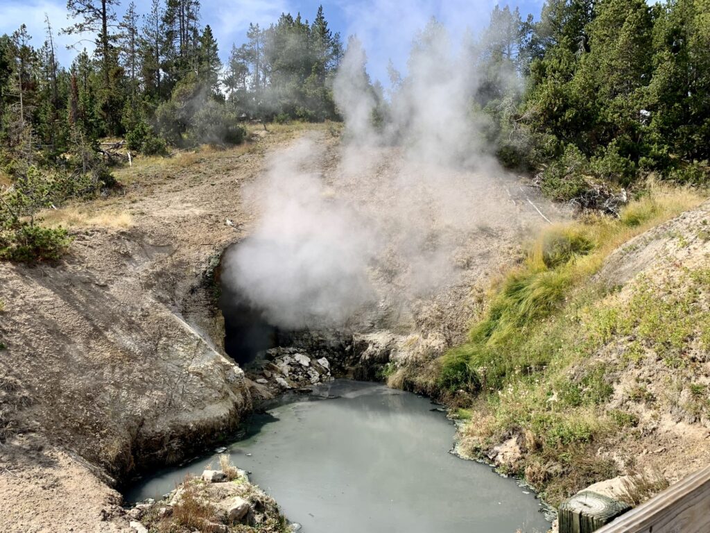
Our next stop was the Mud Volcano and Sulphur Caldron. There was a 0.7 mile boardwalk passing by the Mud Caldron, Sizzling Basin, Churning Caldron, Black Dragon Caldron, Mud Volcano, and Dragon’s Mouth Spring. There was a separate parking area for the Sulphur Caldron on the opposite side of the road. The Churning Caldron looked like a wave pool but with muddy water. Photos of this area really do not do it justice because it is very interesting to watch the geothermal features in action. The Sulphur Caldron is ten times more acidic than lemon juice, almost as acidic as battery acid. Sulphur rich gases rise here filling the caldron with sulfuric acid. Surprisingly, there are many bacteria that live in this caldron. The bacteria that love this environment are called “Thermoacidophiles”.
Just before reaching Canyon Village, we turned around and retraced our drive, now heading south on the Grand Loop Drive, back thru Hayden Valley and to Fishing Bridge. At the Fishing Bridge Junction, we turned left onto East Entrance Road to exit the park. We still had quite a bit of driving on this road before we actually exited the park. The drive continues along Yellowstone Lake. As the road pulls away from the lake there is one last overlook, Lake Butte Overlook, where we got our last look at the lake. Continuing east on East Entrance Road, we went thru a section of the park that was victim to a fire and is still recovering. We then proceeded thru Sylvan Pass, the second highest mountain pass in Yellowstone at 8,553 ft. This road is closed in the wintertime. We stopped at Corkscrew Bridge, constructed in 1904. This bridge was built for the horses that needed to go thru the pass and couldn’t make it up the steep slope. We finally exited the park, stopping to take one last photo.
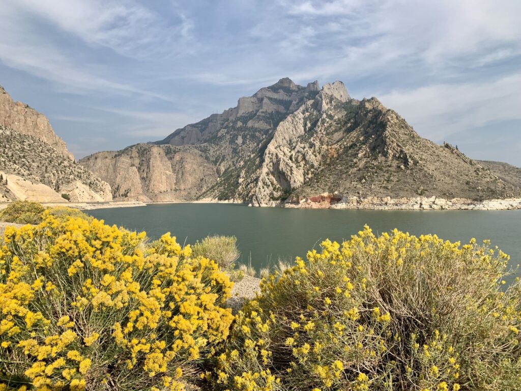
Once out of the park we continued driving east on Route 14 towards Cody, WY. This section of the drive, while beautiful, was much different and reminded me more of Utah. We came across a huge reservoir, the Buffalo Bill Reservoir. There were signs for the Buffalo Bill Dam Museum, so we pulled off to take a look. A woman in a golf cart gave us a ride from the parking lot to the actual dam, we were there 30 minutes before closing. We were able to walk out on the dam, which was cool. At the time it was built in 1910, it was the tallest dam in the world. It stands at 350 ft. It was originally named the Shoshone Dam but was renamed in 1946. It dams the Shoshone River and forms the Buffalo Bill Reservoir. The museum was quite interesting.
We continued on towards Cody, where everything pretty much is named after Buffalo Bill. Unfortunately, we missed the rodeo, as the last one for the season was held the week before. We checked into our Holiday Inn at Buffalo Village and ate dinner at the buffet there, which was very good. We finally seemed to be back in civilization, but I can’t say that I was happy about it. We spent the evening re-organizing our luggage into checked and carry-on items.
Day 9 – Cody, WY to Billings, MT
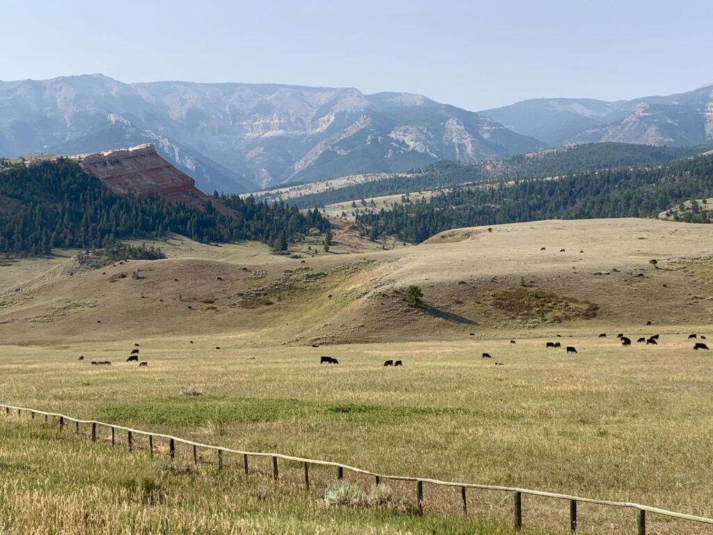
We had a nice, (included) breakfast buffet at the Holiday Inn. We gassed up and then drove north from Cody on the Belfry Hwy (Route 120) to the Chief Joseph Hwy to drive the southern portion of the scenic byway that we missed back on Day 2. There was a lot of cattle and rolling hills on this section of the highway. We started up the switchbacks and reached Dead Indian Point (which was our turnaround point back on Day 2). The view was much better earlier in the week. We contemplated continuing on the Chief Joseph Highway to the Beartooth Highway and returning to Billings via Red Lodge, but we were concerned that we might get held up somewhere (due to weather in the passes or wildlife) and might miss our flight, so instead we turned around and re-traced our route back to the Belfry Hwy. The rest of the drive was uneventful, and we arrived at the Billings airport 3 hours early. We ate our packed lunch in the airport and arrived back on the East Coast around midnight.
Again, a wonderful adventure in our national parks!
