As soon as I returned from my trip to the Pacific Northwest with my son Colin in September 2022 I began planning our next adventure – Iceland August/September 2023. I really enjoy the planning phase of my adventures and had most of our Iceland lodging and activities booked by year’s end. However, come January, I realized that there was no way I would be able to wait until the end of the summer to explore again. I consulted my bucket list and USA National Park list and queried “what would be a good destination in March/April for some hiking”? The answer – Big Bend National Park in southern Texas on the Mexican border. It would be warm in March, plenty of hiking trails, and is quite remote, meaning that I would most likely never be tacking this park onto another one of my adventures.
I asked my sister-in-law, Sandy, if she was interested in joining me for a short 5 day trip down to Texas for some hiking. I think she was a little leery at first, as she had never heard of this park, but she consulted with one of her hiking friends in New Hampshire, and she and Julie were both up for the challenge.
Less than a week later, we had Air B&B lodging, airfare, and a rental car booked for the last week in March 2023. Texas, here we come!!!
Outbound Travel Day
Getting to Big Bend National Park can be quite a challenge. It is located in the far west, southern part of Texas along the Rio Grande River and encompasses over 800,000 acres (1,252 square miles). It is the 14th largest park in the US National Park system and the 7th largest park in the continental United States (7 of the 10 largest parks are located in Alaska). The Rio Grande River forms the USA-Mexico border and 118 miles of this border run thru the park. Big Bend National Park is a biosphere reserve located within the Chihuahuan Desert. Big Bend is one of the most biologically diverse arid regions in the world. The park is home to more types of birds, bats, butterflies, ants, and scorpions than any other national park in the United States. It is a birder’s paradise with more than 450 different species of birds being reported as being seen in the park. This is due to the park being in the migratory path for many species. There are over 1,200 species of plants located in Big Bend supported by the various ecosystems: river, mountains, desert. In 2012 Big Bend was awarded International Dark Sky Park status by the International Dark Sky Association. It has the least light pollution of any US National Park located in the continental US which makes it a wonderful park to star gaze.
The two closest airports are Midland/Odessa (235 miles away) and El Paso (330 miles away). We flew from Boston to Midland/Odessa, Texas with a 3 hour layover in Dallas.
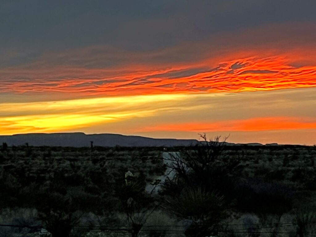
From Midland we headed south thru the desolate landscape on our 4 hour journey to Terlingua, Texas. The first 2.5 hours of this drive was one of the ugliest drives I have ever been on. The area was a totally flat landscape with nothing but dirt, brush, and oil wells. We reached the town of Alpine (the last substantial town before reaching Big Bend National Park) and stocked up at Porter’s grocery store (local Texas chain). The mountains had finally come into view and we were now getting excited. We still had another 1.5 hours of driving but were treated to a gorgeous sunset before arriving at our Air B&B in Terlingua. There is only one hotel located in Big Bend National Park, the Chisos Mountains Lodge, along with 3 campgrounds and one RV Park. The lodge books up well in advance, especially in the high season. There are a lot of vacation rentals in the surrounding area as well as campsites.
Day 1 – The Ross Maxwell Scenic Drive and Lost Mine Trail Hike
Big Bend National Park is extremely large. I divided the park into 4 different areas, all of which are accessed by Route 118: Ross Maxwell Scenic Drive, Chisos Basin, Rio Grande Village, and Persimmon Gap. There is no way of getting from one area to the other without driving back to route 118. There are 5 visitor centers: Castelon (closed due to 2019 fire), Chisos Basin, Panther Junction, Rio Grande Village, & Persimmon Gap. We visited three of the four areas, missing out on the Persimmon Gap area, the most northern area of the park.
Having heard that parking was at a premium at the most popular sites and trailheads, we tried to get an early start. Weather forecasts showed that today would be the mildest of the 3 full days we would be hiking with temperatures in the 50s and gusty winds. The plan for today was to see the sights along the 30 mile long Ross Maxwell Scenic Drive on our way to Santa Elena Canyon.
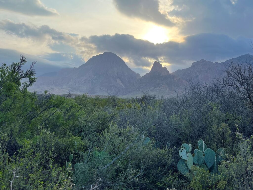
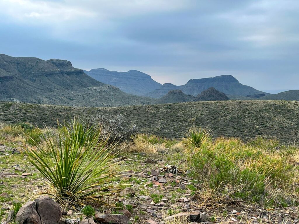
We made frequent stops along the drive, taking photos of the Chisos Mountains which were to our left. We took a slight detour from the road and drove up to Sokol Vista to take in 360 panoramic views of the Chisos Mountains, Santa Elena Canyon, and Mexico. At the Vista we needed to add on a few clothing layers due to the wind.
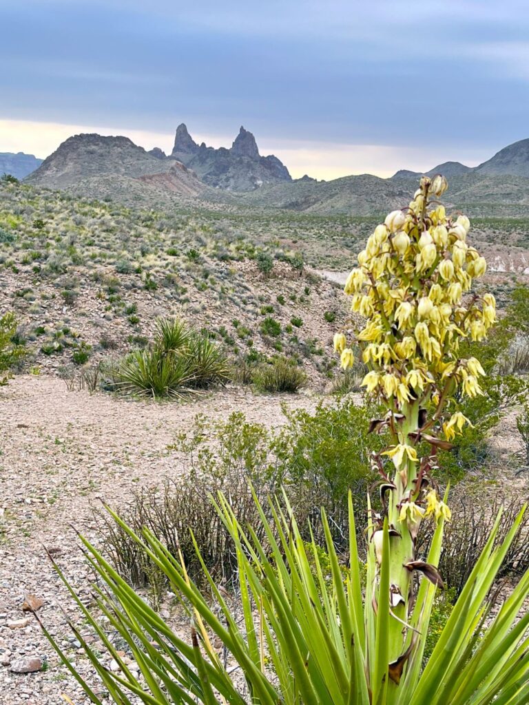
Further down the drive we could see “Mule Ears” in the distance and pulled off at the trailhead to take some photos. The “Mule Ears” are two distinctive rhyolite dikes. There is a trail that circles around them and leads to a spring. If we had time, we planned to hike the trail later in the day.
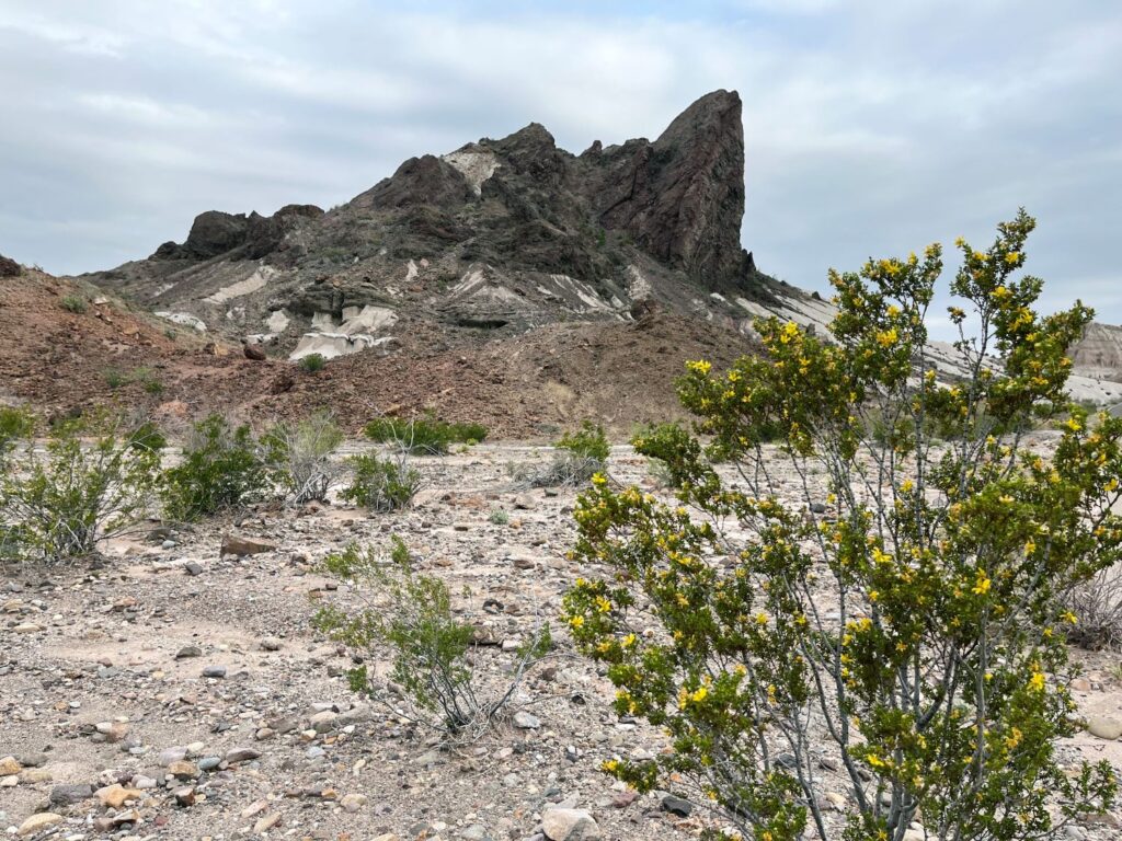
Our next stop was at Cerro Castellan, a large butte that shows evidence of the millions of years of volcanic activity that occurred in this region. It was interesting to see all of the different types of rock layers including lava flows and ash deposits (tufts).
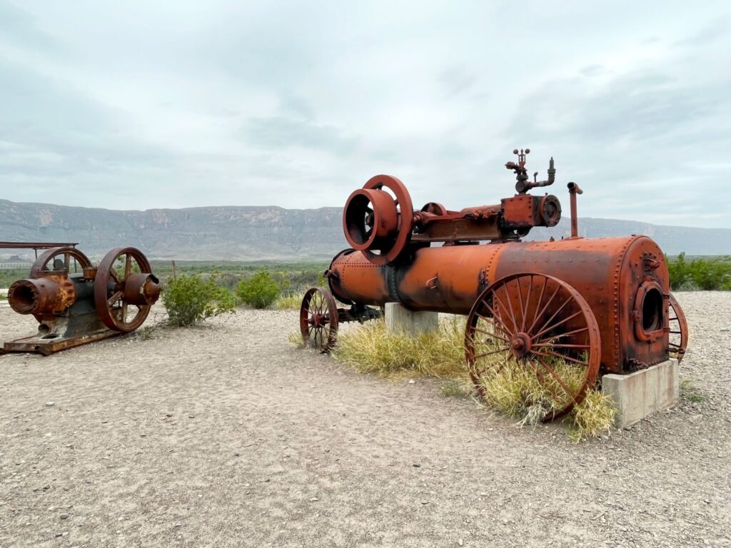
Continuing southwest along the scenic drive we stopped in the historic Castelon area. This area was devastated by a fire in May 2019. The fire started in Mexico and the embers blew across the Rio Grande River igniting the brush and some of the structures in the area. The Visitor Center was burnt to the ground and they are now trying to restore/rebuild the structure. The fire burned for 13 days and destroyed 950+ acres along the Rio Grande River. This area also had historical significance back in the 1920’s-1940’s, when they grew cotton along the river in this area. A few pieces of the irrigation equipment are on display here.
The Ross Maxwell Scenic Drive ends at the entrance to Santa Elena Canyon. There is a small parking lot here that fills up early. This is also a location where many people/companies launch their boats for river trips down the Rio Grande River. There is a short boardwalk out to a sandy beach-like area where the Terlingua Creek meets the Rio Grande River. In order to access the Santa Elena Canyon Trail you must cross the Terlingua Creek on foot. Depending on the time of year, the creek can be anywhere from a dry creek bed, to a muddy creek bed, to waist deep with water.
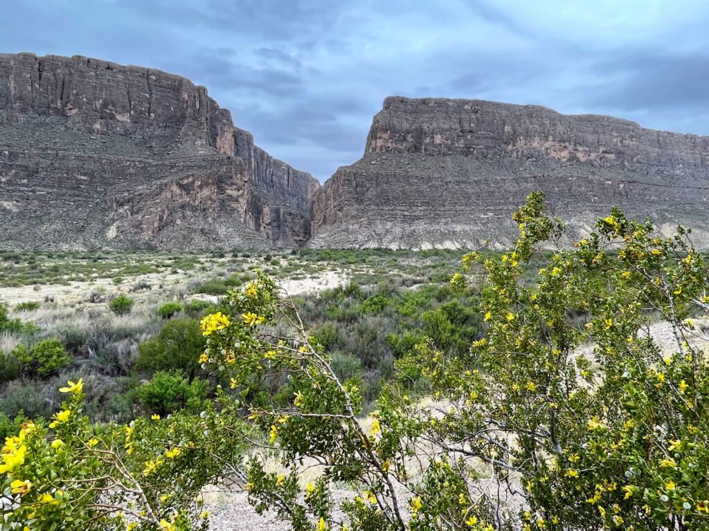
Once across the Terlingua Creek, the path goes up along a paved switchback section before dropping into the canyon and staying pretty level. It is a short hike (more of a walk) 0.5 mile before you have to turn around. The canyon walls rise up 1,500 ft on both sides of the river. The right bank of the river belongs to the United States, the left side of the river belongs to Mexico. There is an extremely large rock which is almost cube-like, sitting along the trail. If you look up, you can see where it fell from the Mexican side of the cliff.
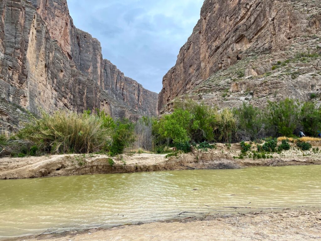
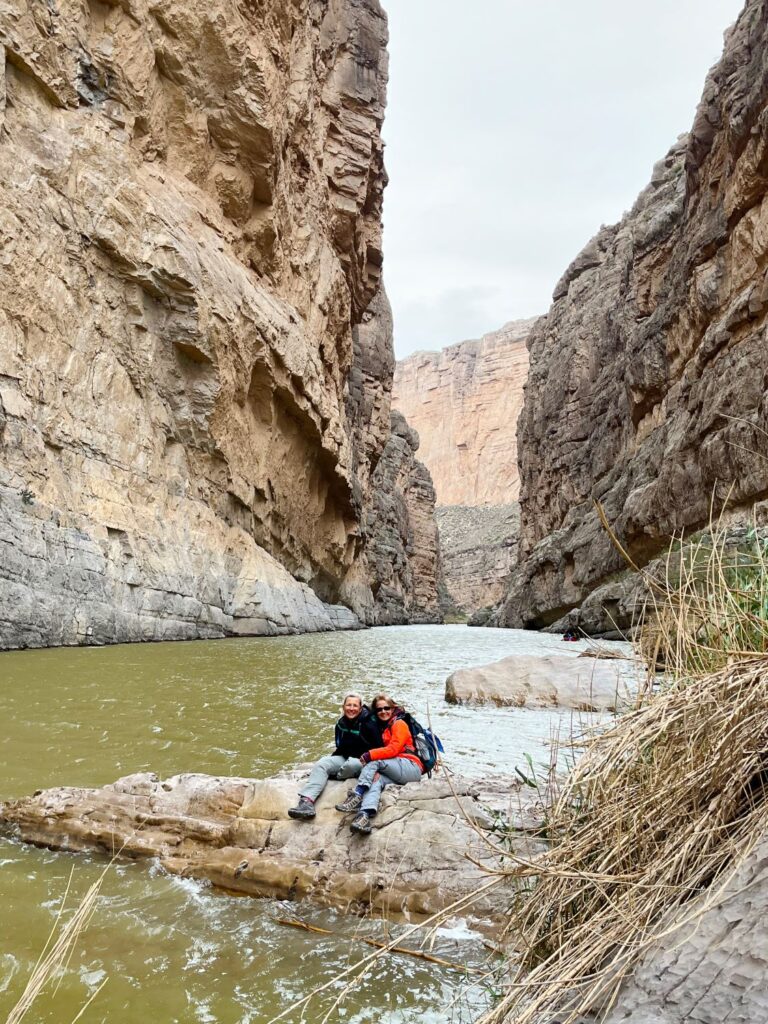
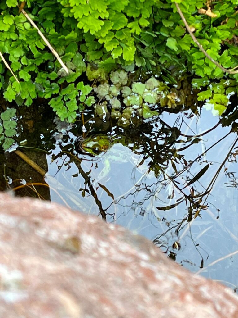
After completing the Santa Elena Canyon hike we started our trip back north on the Ross Maxwell Scenic Drive. We stopped back at the trailhead for the Mule Ears Spring and Sawcreek Trail. The hike to the spring is 2 miles one way. We stopped at the spring to look for frogs (we found 4) and had a snack (not the frogs). We continued out towards Sawcreek but turned around after we reached a scenic vista. Overall, we enjoyed the hike, but at the end of the trip we all agreed that this was our least favorite hike.
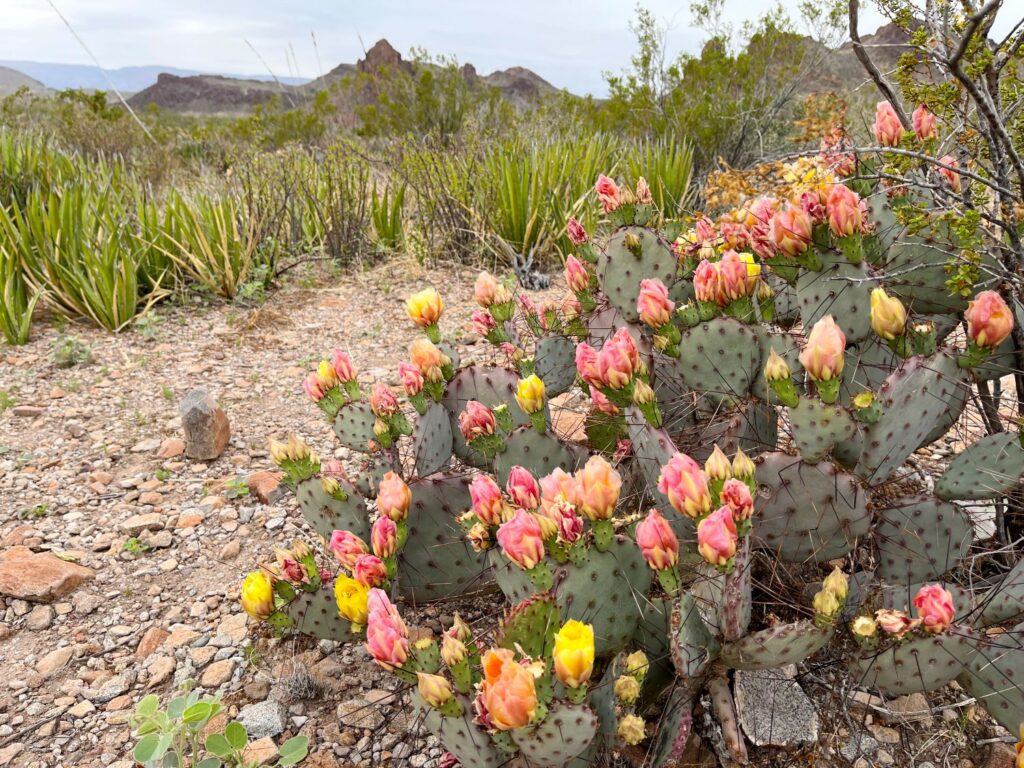
It was late in the afternoon, but we still thought we had enough time for one more hike. I suggested the Lost Mine Trail which is in the Chisos Basin area. We had already planned to do a much longer hike the following day in that area and would most likely not be able to fit this hike in any other time. The Lost Mine Hike is one of the most popular hikes in the park and parking is at a premium. We arrived at the trailhead at 4:45pm and there were only 2 other cars in the lot (the following morning when we drove by, the lot was completely full with 20+ cars). There are both bear and mountain lion warnings on this trail.
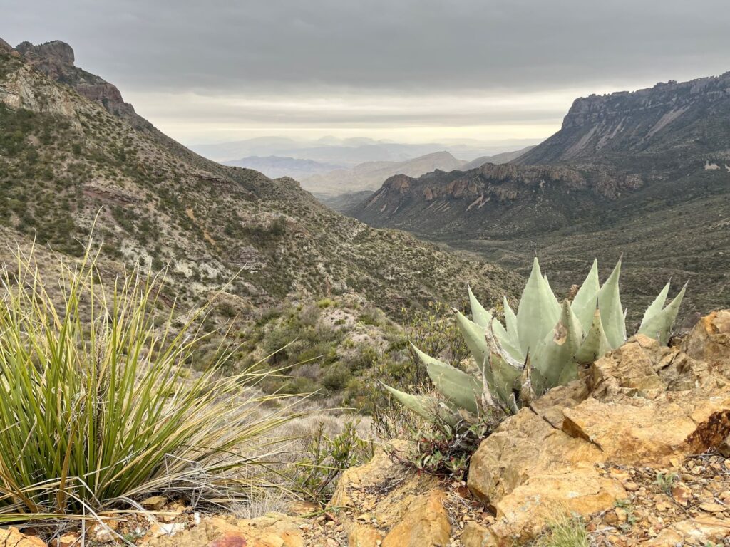
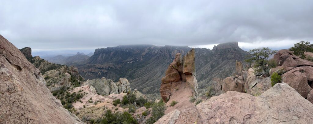
The Lost Mine Trail is a moderate, 4.8 mile round trip hike with 1,100 ft in elevation gain. It offers great views of Casa Grande, Juniper Canyon, and the Northeast Rim of the Chisos Mountains. The second half of the hike has a lot of steep switchbacks and when you reach the ridge you get excellent views of Pine Canyon and the Sierra del Carmen in Mexico. The weather was quite cool and we did not have much sun for this hike. No ore has ever been found on this mountain but it gets its name from a legend. Legend has it that Spanish explorers discovered ore on this mountain while searching for gold and silver. The explorers enslaved the Chizo tribe and blindfolded them every day when taking them to the mine so they would not know the entrance’s location. It is said that if you stand in the doorway of the church in San Vicente, Mexico on Easter Sunday, the first ray of light will shine on the mine’s entrance.
We completed the hike in a little over 2 hours and since it was so late we decided to eat dinner at the national park’s Chisos Mountains Lodge which was only a mile down the road, instead of returning to Terlingua.
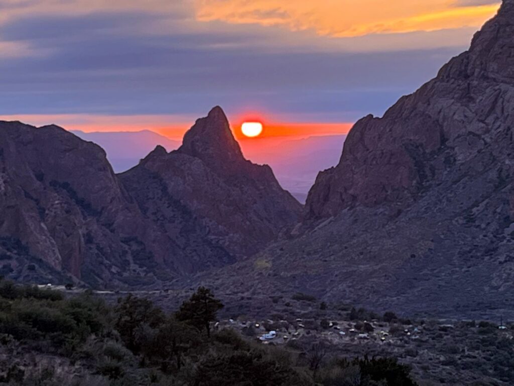
As we were driving out of the Chisos Basin on the switchbacks, we looked back just in time to see a gorgeous sunset. While the day had been mostly cloudy, the sun managed to peak its way thru two cloud banks in the middle of “the Window” formed by the Chisos Mountains. It was such a great way to end the day.
Day 2 – Hiking in the Chisos Basin
Today we would do the longest hike of our visit, the South Rim Trail. It was actually a combination of 4 hikes, totaling almost 12.5 miles. We got off to a little later start than anticipated, but we weren’t worried since it was the only thing we were going to do today. We arrived in the Chisos Basin parking lot around 9:20AM and stopped in at the Visitor Center so I could get my National Park Passport stamped.
We started the hike at 9:50am along the Pinnacles Trail. The hike up to the Emory Peak turnoff is quite difficult as it is all uphill and the switchbacks are quite steep as you get closer to the intersection with the trail for Emory Peak. The trail offers gorgeous views of Casa Grande and The Window. We stopped at the intersection with the Emory Peak Trail and had a snack. There is a “restroom” here for those that need it. I use the term “restroom” loosely, basically it is an area shielded on three sides by metal walls and concrete steps up to a “throne”. I guess it is better than nothing. This area had been touched by a fire in April of 2021 and you can still see the destruction caused by the fire.
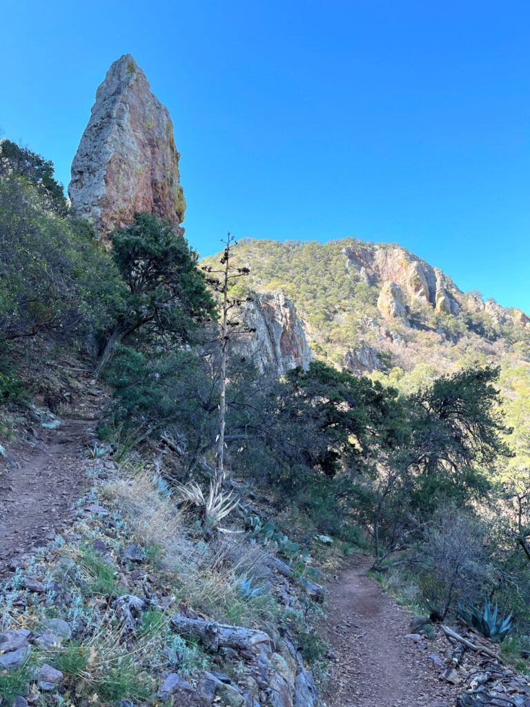
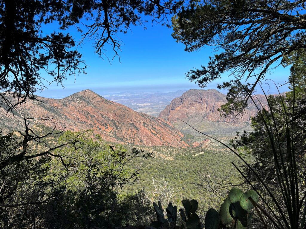
At this intersection you have 3 choices: take the trail to Emory Peak, return back to the Chisos Basin the same way you came along the Pinnacles Trail, or continue on the Boot Spring Canyon Trail which leads to the South Rim. We chose the last option and headed towards Boot Spring Canyon. This was probably my favorite part of the trail as it was more rolling, up and down, with shaded areas and followed along a stream where we saw a small herd of deer.
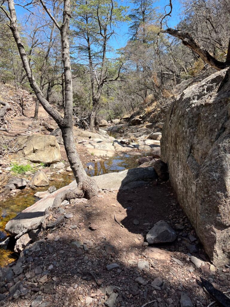
I’m not really sure where the Boot Spring Canyon Trail ends and the South Rim Trail starts. However, as we were hiking, the Colima trail broke off to our right and then a little further up the East Rim Trail broke off to our left. The East Rim Trail also forms a loop, however part of this loop was closed due to nesting peregrine falcons. We continued to follow signs for the South Rim Trail which led up thru a meadow and then out to a ridge with a gorgeous view of the Northern Mexico Mountains.
The hike along the ridge offered spectacular views and was relatively flat which was a nice reprieve. However, the sun was relentless along this section of the trail.
We chose to return to the Chisos Basin via the Laguna Meadows Trail which was slightly longer, but much less steep than the Pinnacles Trail. We never figured out why the trail was called Laguna Meadows because we never hiked thru what we would have considered a meadow.
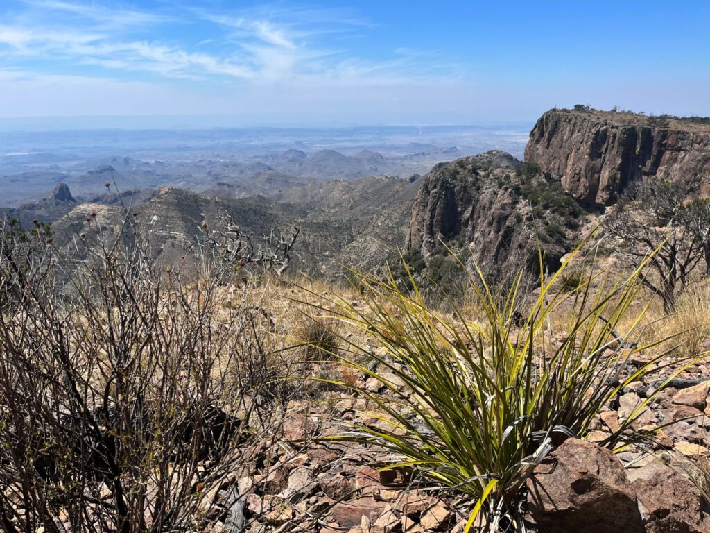
We arrived back at the car at 4:28PM. For dinner we ventured into Terlingua Ghosttown and ate at The Starlight Theater Restaurant & Saloon. The food was delicious! It was a great way to celebrate the completion of our hike.
Day 3 – Hiking, Hot Spring, & Sunset
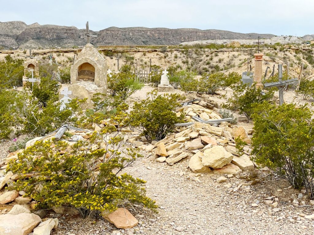
The plan for today was to explore the farthest and most eastern side of the park down by Rio Grande Village. Before heading into the park, we stopped back at the Terlingua Ghosttown to shop at a local artisan’s shop. On our way out of the town we stopped at the Terlingua Cemetery and learned about the history of the area.
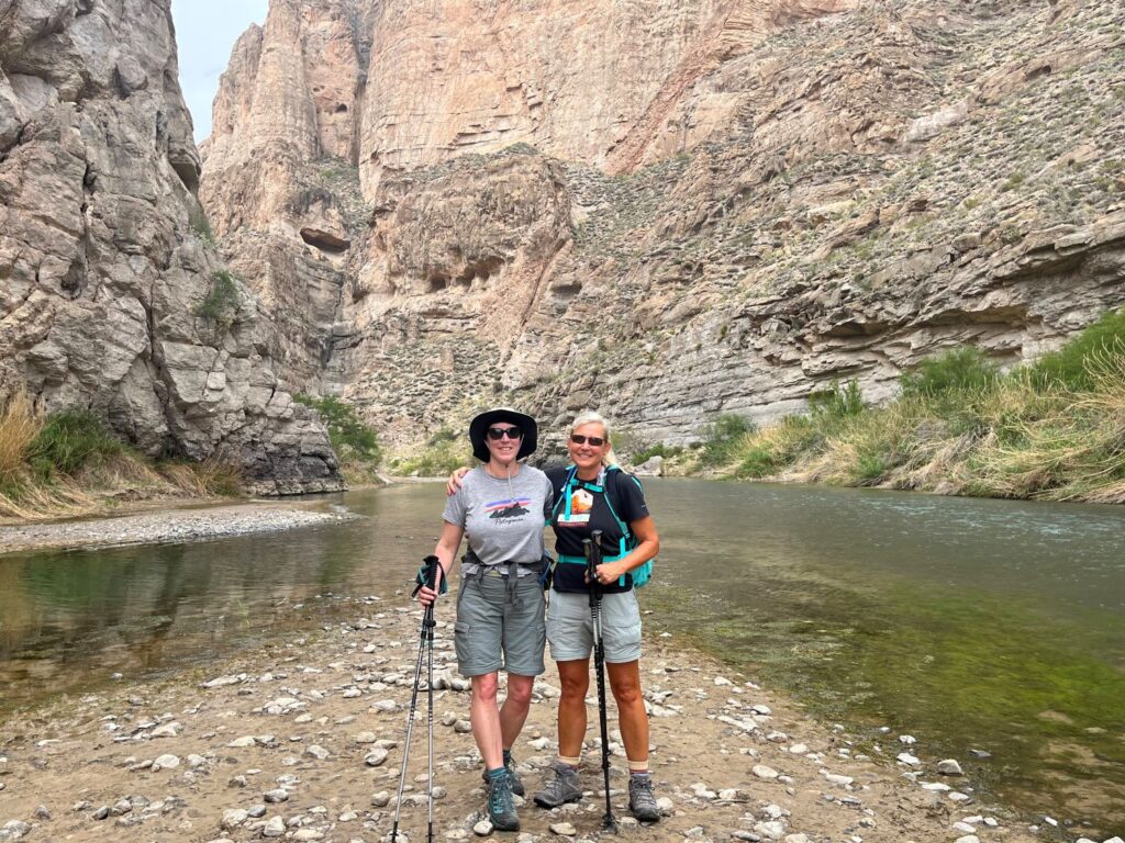
We made our way to the Panther Junction Visitor Center. I stamped my passport at the Visitor Center and then we drove down the twenty miles to the Rio Grande Village Visitor Center. Unfortunately it was closed for lunch but there were some exhibits outside that we looked at. We headed east from the Visitor Center to Boquillas Canyon. We hiked the short trail into the canyon and saw a mountain lion track in the mud near the river. I liked this hike just as much, if not more than the Santa Elena Canyon hike on day 1. There was a Mexican man on his horse selling tamales along the river and there were also handmade items laid out along the river banks for sale (on the honor system).

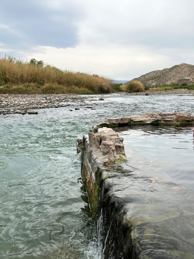
After completing the hike we drove north back towards Panther Junction. Along the way we detoured off the main road onto the gravel Hot Springs Road to visit the hot springs. The road travels a short way and then there is a parking lot for oversized vehicles. The remainder of the road is a one way road with hairpin turns.
The hike to the hot springs was a short flat 0.25 mile each way. There is a slightly longer loop trail that you can take that goes by some historic structures but we chose to skip this. There was no one in the hot springs when we got there but it was getting crowded when we left. The spring was really nice and quite warm. I preferred to sit on the rock ledge of the spring and dip my feet in the much cooler Rio Grande River on the other side. After spending about 30 minutes at the hot springs we returned to the car, changed, and ate lunch. Then we were off to our last official hike of the trip.
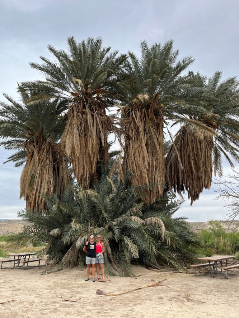
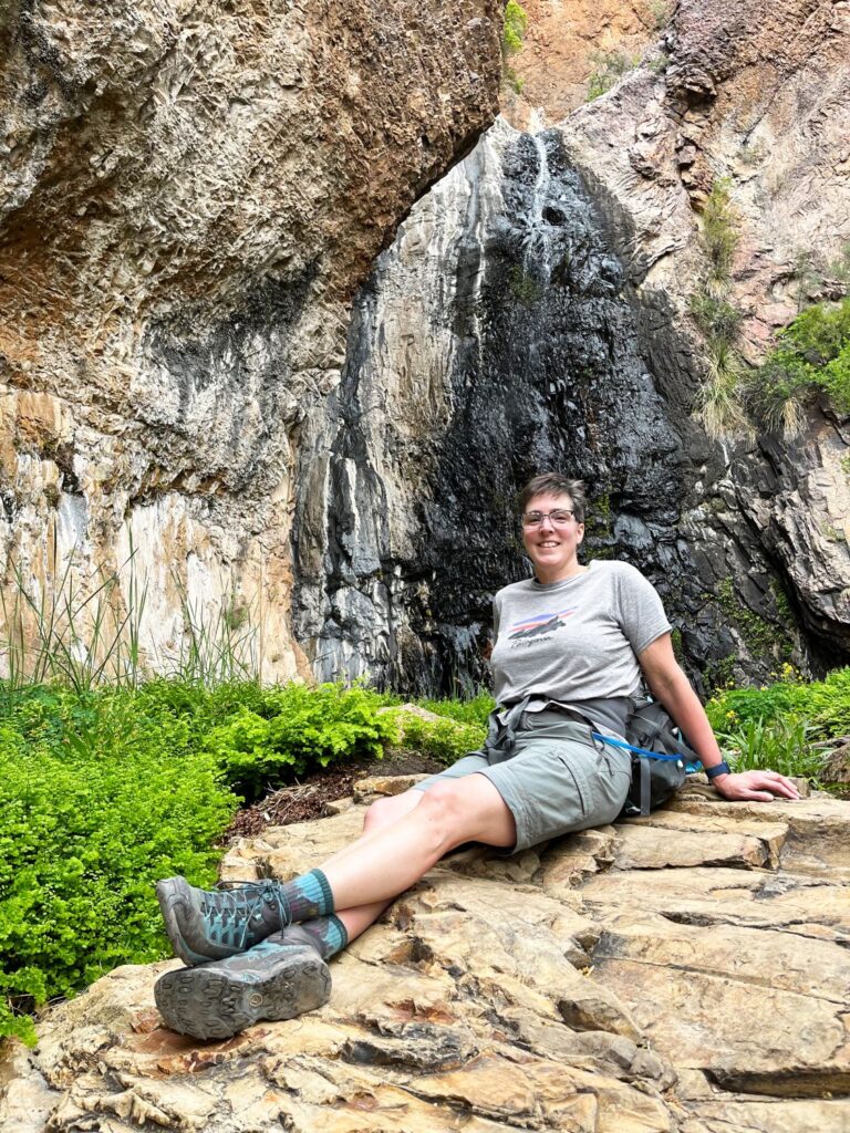
We retraced our route back to Panther Junction and headed back west towards Terlingua. We turned off on the Ross Maxwell Scenic Drive (from day 1) which is where the unmarked trailhead parking is for the Cattail Falls hike. On day 2, we had spoken with a ranger about the Cattail Falls hike (mentioned to us by a solo hiker from the day before). The ranger gave us instructions for starting the hike in a different location which would save us quite a few miles. He showed us video of the falls from the prior week, after a recent snowfall, and the falls were gushing. He said that sometimes it can go dry or just down to a trickle. The National Park Service has removed the trail from their published maps and website because the area is ecologically fragile and was being destroyed by so many visitors. You are still allowed to hike there, they just don’t advertise it and don’t want groups larger than 10 people hiking in the area.
The weather could not make up its mind at this point in the day. The wind had really picked up and the sky was gray. Temperatures were comfortable though in the mid 70s. The first 1.5 miles of the hike was along an old road and a dry wash. This hike had a lot of loose rocks along the way but the view was very pretty looking at the Chisos Mountains. We could see the waterfall in the distance. It was not flowing anywhere near how it looked in the ranger’s video but it was still very pretty. The area all around the bottom pool was lush and green.
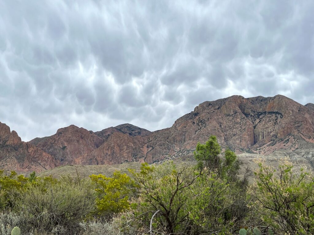
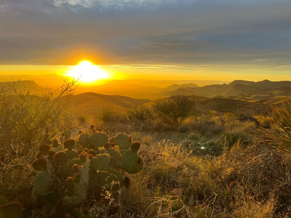
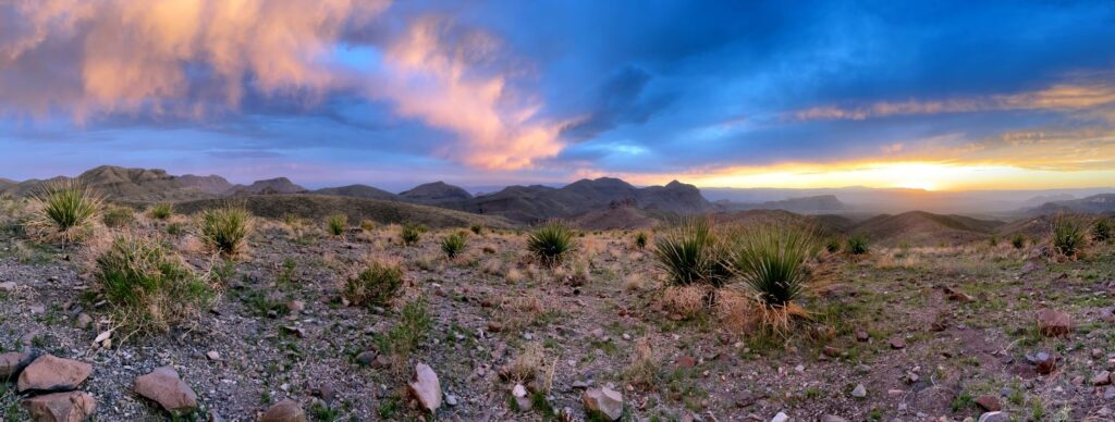
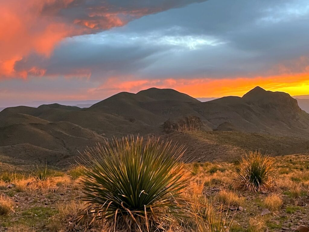
As we finished the hike, the sky above the Chisos Mountains was menacing with very dark gray clouds, yet to the west, there was blue sky and the sun was shining brilliantly. We continued south on the Ross Maxwell Scenic Drive and once again visited Sokol Vista, this time to see sunset. The Sokol Vista is named after the Sokol plant. The scientific name is Dasylirion wheeleri (desert spoon, spoon flower, sotol, or common sotol) and it is a species of flowering plant in the asparagus family (Asparagaceae). The alcoholic beverage, sokol, cousin to tequila and mezcal, is made from the fermented inner core of the plant. The vista is covered with these plants and they made a great foreground for our photos.
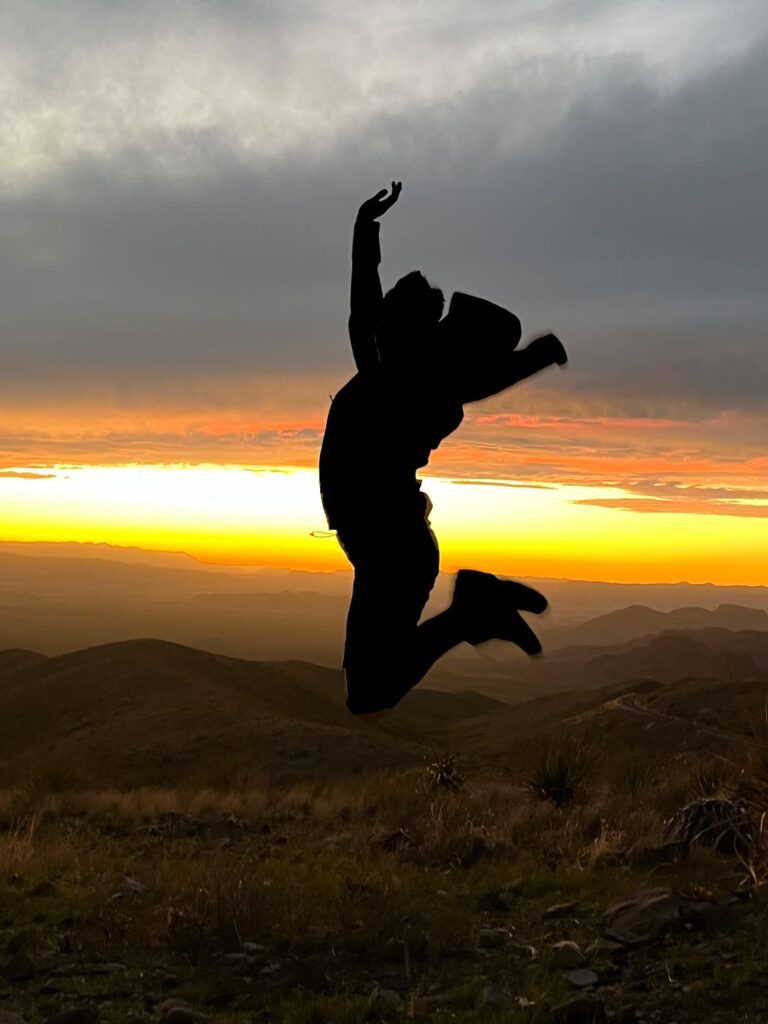
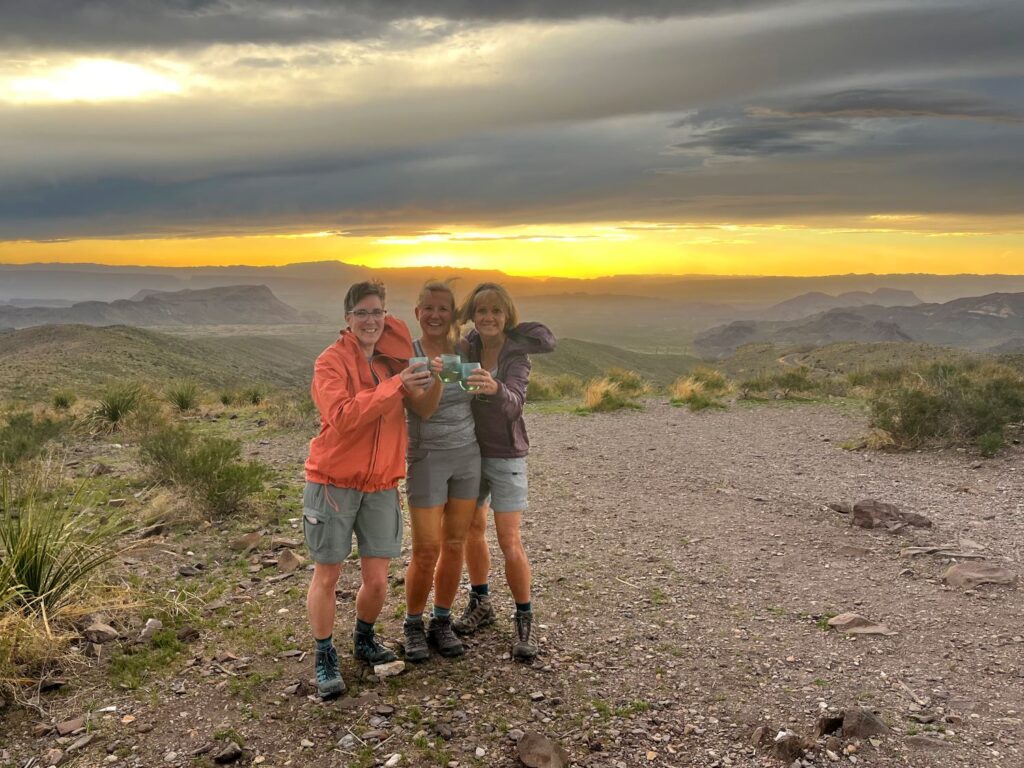
The wind was gusting at the vista which made a picnic dinner impossible. Instead we filled our glasses with some wine and had a toast on top of the vista. We were treated to a spectacular sunset!
Homebound Travel
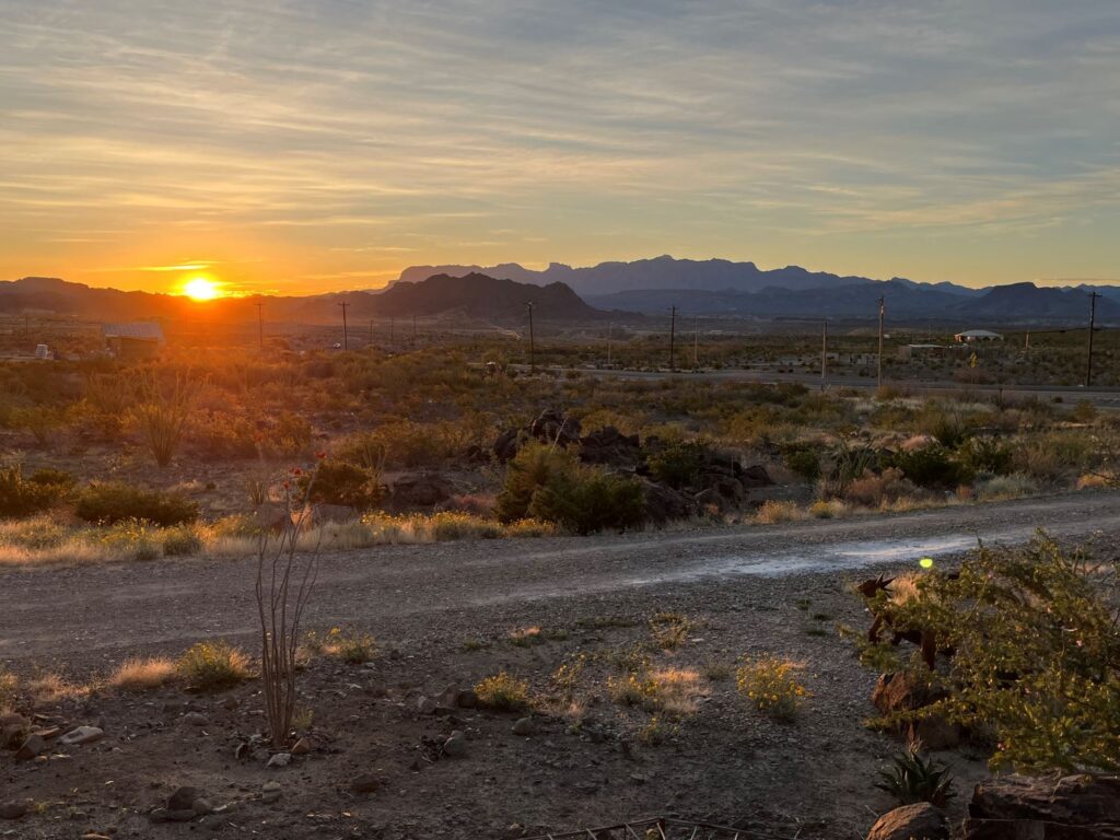
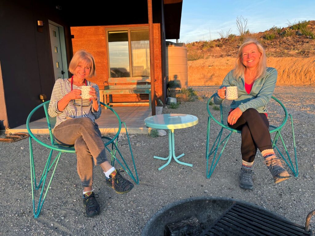
We set our alarm for 6:45am which gave us plenty of time to eat breakfast, relax and take in a glorious sunrise from our front patio before checking out at 8:30am. We had a 4 hours drive back to Midland and had been warned that we would have to pass thru a border patrol station along the way. The drive back was uneventful except for a high wind warning. The GPS took us on a slightly different route. Although the scenery was still quite horrible, we did pass by a pecan farm which was interesting to see. Both of our flights were delayed and we didn’t arrive back on the East Coast until 12:45am.
This was a wonderful trip with family and a new friend. While physically tiring, it was a much needed mental break. We are already planning a trip together for spring 2024!!
