Ever since Colin and I visited the Swiss Alps (Jungfrau region) in 2019, I have been yearning to get back to that part of Europe. I’m a mountain girl at heart and the scenery in the Swiss Alps was surreal. It is still my favorite vacation ever, beating out Iceland and narrowly surpassing the Scottish Highlands. I felt like I was in a fairytale with the majestic mountains, gushing waterfalls, and green meadows filled with wildflowers, and of course I can’t forget the cows with their clanging bells. The Mont Blanc Trek (105+ mile trek around Mont Blanc , the highest mountain in Europe outside the Caucasus mountain), the Haute Route, (137 mile trek from Chamonix, France to Zermatt, Switzerland), and the Alta Via 1 (75 mile trek thru the Italian Dolomites) have all been on my radar as a means to get back to the area.
While I really enjoyed the group hiking on the Laugavegur Trek in Iceland, I was considering trying a self guided tour with Colin this time around. I found quite a few companies that provided self guided tours of the treks I was considering. These companies make all of the hut reservations and provide digital maps and routes. While many people make their own reservations, it can be very time consuming and the added expense was worth it to me. The three treks that I have mentioned have become extremely popular and reservations can be difficult to obtain. One of the companies I was considering was Alpenventures Unguided. Not only did they offer the three treks I was considering, but they had just launched a new tour called “Best of the Dolomites”. While the Alta Via 1 tour runs north/south thru the Dolomites, the Best of the Dolomites traverses 62 miles west to east, stopping at four very popular areas (Seceda, the Lagazuoi tunnels, Lago di Sorapis, and Tre Cime Lavaredo) and involves hiking on sections of the Alta Vias 1,2,4, & 9. Additionally, there was the option of taking gondolas/cable cars to cut down on some of the hiking elevation gain/loss. I decided to take the plunge and I booked with Alpenventures Unguided in October 2023 for September 2024. Additionally, we booked two “rest days” in Cortina d’Ampezzo, although on one of those “rest” days we decided to try our first via ferrata with a local guide (see separate post).
Most people who visit the Dolomites from the USA fly into Venice. Colin and I prefer direct flights and since Boston does not have direct flights into Venice we chose instead to fly into Münich. We then had a 3 hour train ride thru Austria and down to Chiusa (Klaussen), Italy where we stayed in an Air B&B for 3 nights (see separate post for our pre-trek adventures). Once we left Chiusa, we would be carrying everything on our back for the next 10 days before returning back to Chiusa to retrieve our one small suitcase. We used a carry-on size suitcase, but checked this suitcase since it had our collapsible hiking poles in it. We used our 28L & 32L backpacks as our carry-on items and two small stowaway daypacks as our personal items This type of packing, while easy for Colin, was quite challenging for me. The train ride was gorgeous and went thru the city of Innsbruck, Austria.
Approximately two weeks before our trip, Alpenventures Unguided set us up with an Outdoor Active account that had our entire 10 day route pre-loaded, including the actual trails we would be hiking along, turn by turn directions, elevation information, and places of interest, along with the location of mountain huts where we could stop for rest breaks. We were able to download the content and were then able to use it as we trekked, with our phones in Airplane Mode. The GPS function works even if you don’t have a cell signal. Additionally (as recommended by Alpenventures Unguided), we brought along physical paper maps (Tabacco Maps 03, 05, & 07).
Below chronicles the 10 trekking days of our adventure.
Day 1 Seceda to Rifugio Firenze
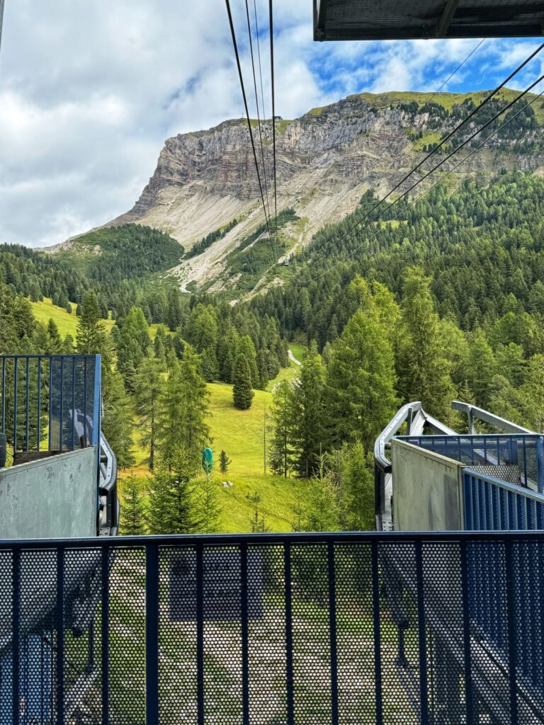
Our adventure began on a rainy Monday morning. We delayed the start of our adventure until 10am to try and wait out the rain which worked in our favor. The trek was broken down into 20 segments, each day involved hiking anywhere from one to five segments. The first day of the trek was actually the shortest hiking day, but we did have some travel involved to get to the start of the hike at the Seceda Ridge. To reach the start of the trek we had to take a 45 minute bus ride from Chiusa/Klausen to Ortisei. We found the Süditirol buses to be quite inexpensive, clean, and efficient. We paid cash on all of the buses, they did not take credit cards. Ten minutes into the bus ride the rain stopped and the skies began to clear. From the Ortisei bus stop it was easy to find the Seceda cable car by just following the signs in the town. To reach the Seceda ridgeline we took the Ortisei-Furnes Gondola which then connects to to the Furnes-Seceda cable car. A one way ticket (uphill only) costs a little more than $37/per person and includes both the gondola and the cable car. While it may seem expensive, it saves you a 4 hour hike and 1,264m of elevation gain.
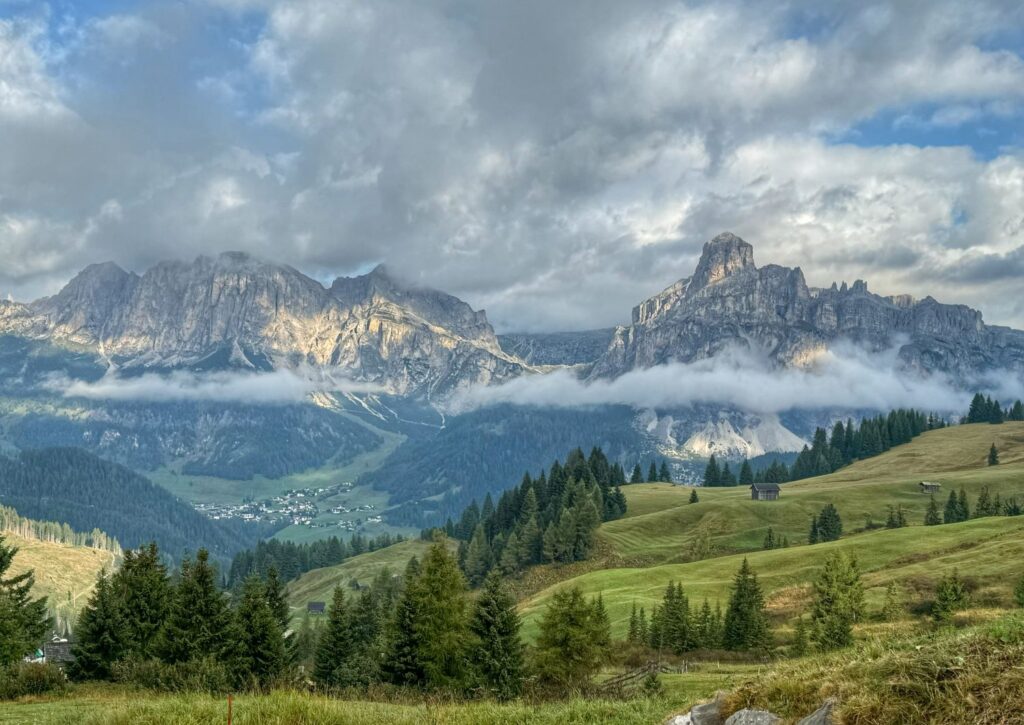
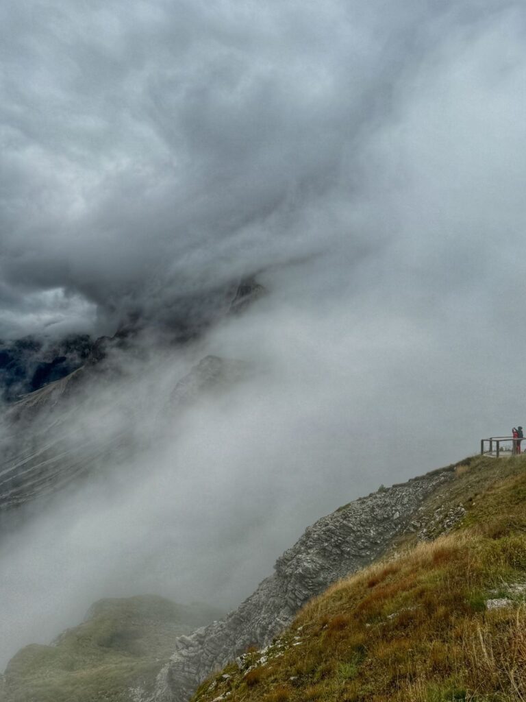
While the gondola/cable car ride offered beautiful views, within 10 minutes of reaching the Seceda ridgeline we were engulfed in the clouds and the views disappeared. We donned our fleece/puffer jackets and hats as the temperature had significantly dropped at an altitude of 2518m (8264 ft). We patiently waited as the clouds made their way up and over the ridgeline. Again, our persistence paid off and we eventually got the views we were looking for.
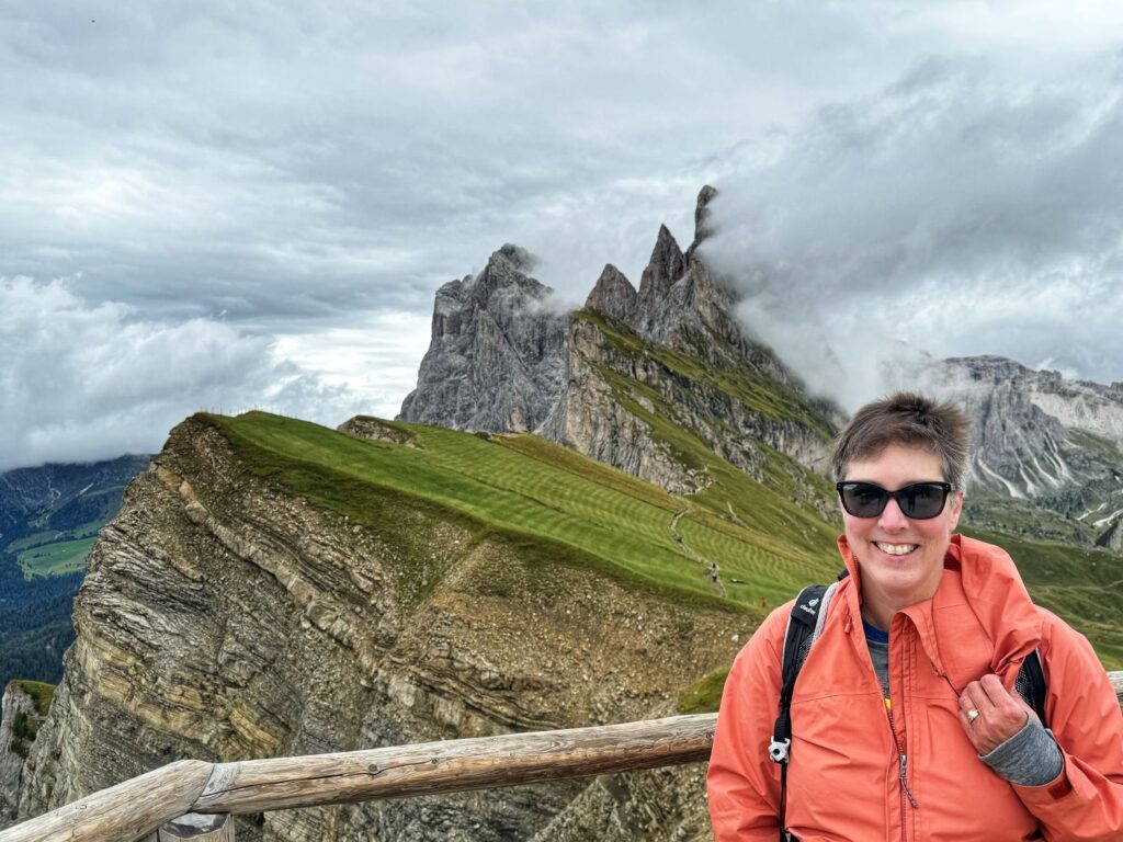
Now that we got the view of the ridgeline that we were looking for, it was time to start our trek. We would be hiking only one segment today, a 3.1 mile hike with 190 ft of elevation gain and 1,562 ft of elevation loss. The trail was one of the easier trails of the trip but was quite muddy at times. We walked along trail 2B, passing the turn off for the Troier Hut and passing the Pieralongia, two large stone pillars.
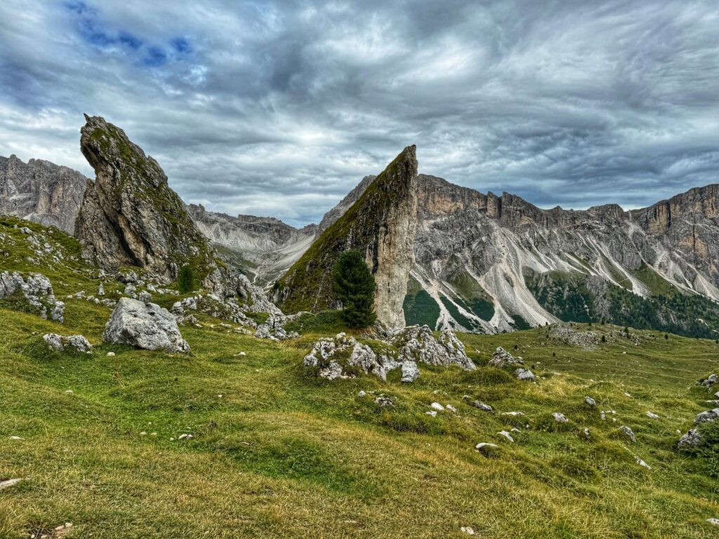
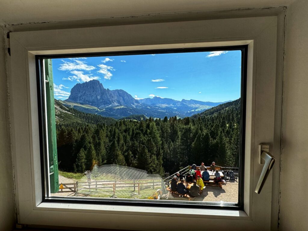
After passing the Pieralongia Hut we took the next right turn and headed down to Rifugio Firenze (Regensburger Hut), our lodging for the night. The weather had now cleared and the sky was a bright blue as we approached the hut. There were plenty of day hikers on the deck enjoying snacks and beverages. We checked into the hut and were given a brief tour before we joined the other hikers on the deck. Most rifugios that we stayed in along the trek included half board, which included dinner and breakfast. Rifugio Firenze was the one exception, as dinner was not included in the lodging fee. We enjoyed a delicious 3 course meal and then organized our gear for the following day. Showers were available for a fee. In this rifugio we stayed in the dormitory area, although it was only about 25% occupied. This rifugio also had private rooms available.

Day 2 Rifugio Firenze to Incisa Lodge
After a relatively quiet and comfortable night, we woke up to a gorgeous sunrise. Our included breakfast consisted of deli meats & cheeses, hard boiled eggs, yogurt & Müsli (pretty much the standard breakfast served at all of the rifugios). We wanted to get an early start as this would be our longest trekking day, mileage-wise. The first segment of the day was also one of only three segments for the entire trip that was marked difficult on our itinerary. We would be completing 3 segments today for a total of 11 miles of hiking. In the first 2.5 miles we had an 1,844 ft elevation gain.
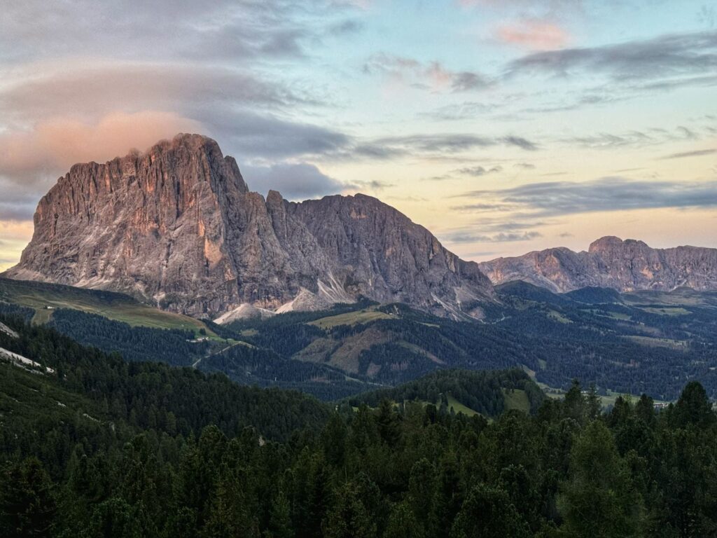
The first segment was a 4.4 mile hike to Rifugio Puez with 2,196 ft of elevation gain and 722 feet of elevation loss. We would be hiking along a portion of the Alta Via 2. The beginning of the hike led up to the pass at Forcella Forces de Sieles. Upon reaching the pass there is a short “sketchy” section where there are cables to hold onto.
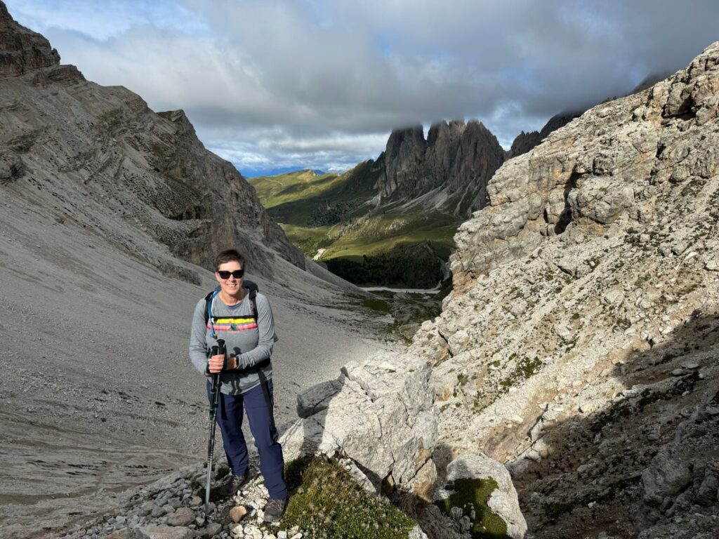
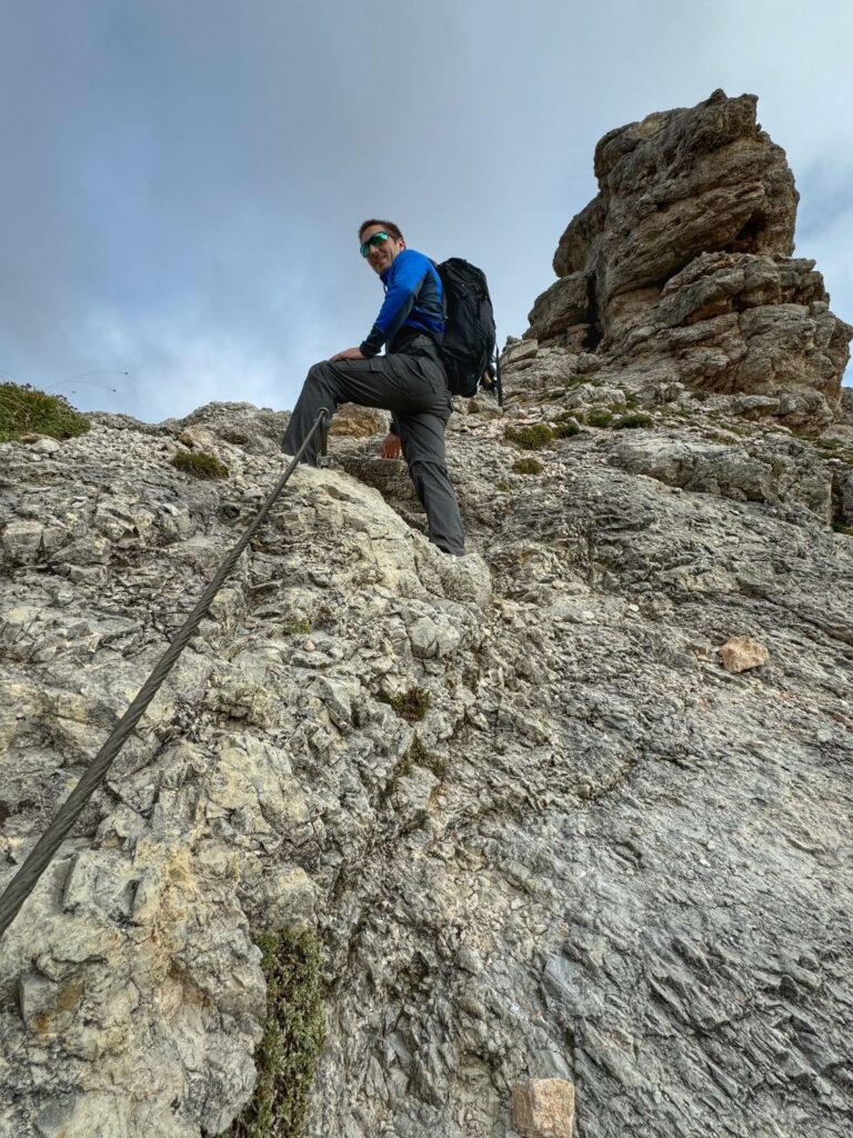
After the “sketchy” section, the trail begins to descend and then levels out. There are some nice views of the town of Colfusco along this section. There is a slight ascent before reaching Rifugio Puez. Rifugio Puez is at an elevation of 8,120 ft and when we stopped hiking it got quite cold. We had a light lunch before continuing on to the next segment.
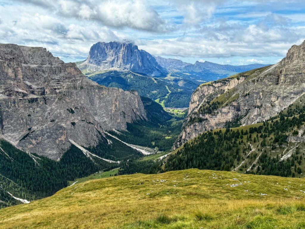
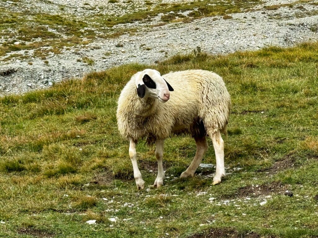
After our short break we continued onto the second segment of the day – a 5 mile hike from Rifugio Puez to the bus station in the town of Corvara. This was a steep descent on the Alta Via 2 before turning onto trail 4 with an elevation loss on this segment of 3,153 ft.
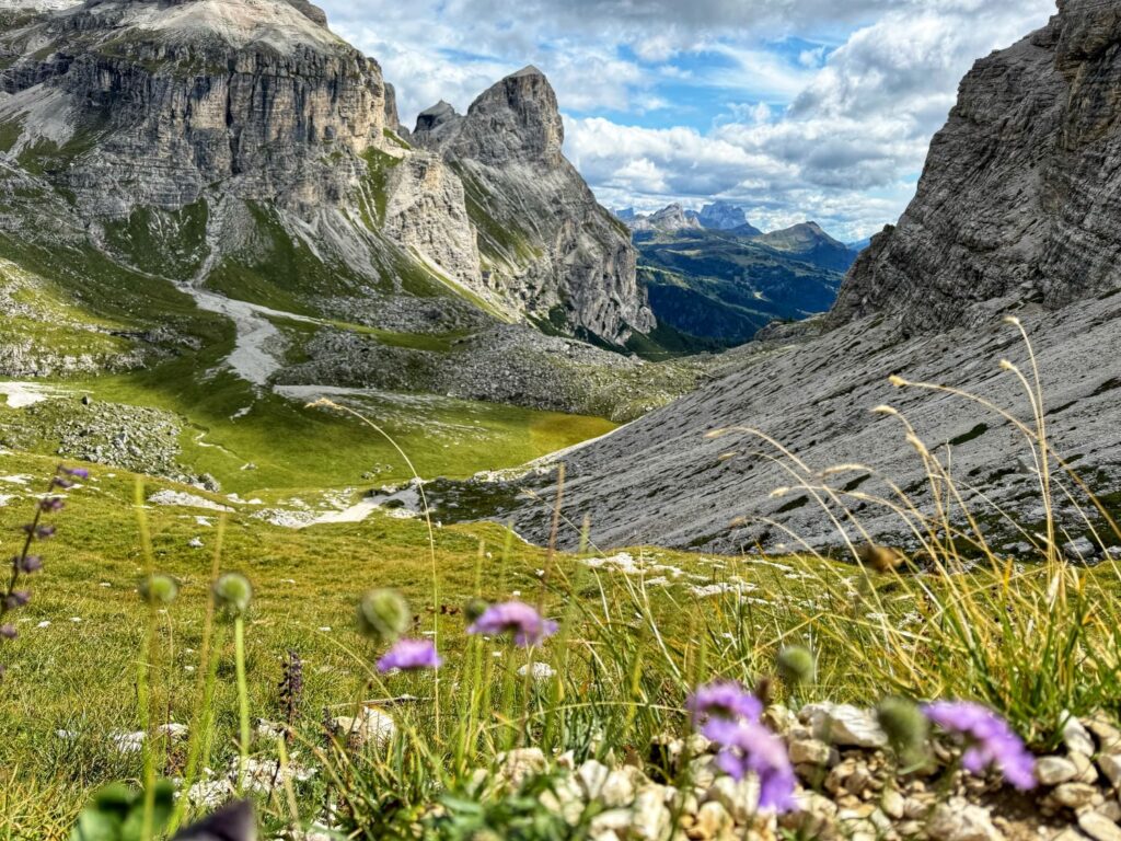
Trail 4 continues downhill and passes the Colfusco ski area before entering a forested area that has a lot of switchbacks. After exiting the forested area you arrive in the town of Corvara. We walked thru the streets of Corvara, making our way to the bus station.
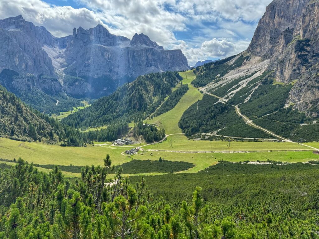
Upon reaching the Corvara bus station we began the final segment of the day. This segment led from the bus station to the Incisa Lodge. Instead of hiking, we chose to take the bus to the Planacstrasse stop and then take the Pralongia chairlift, as recommended by our guidebook. From the top station of the Pralongia chairlift we then hiked down a trail to the Incisa Lodge, our lodging for the evening. We were the only guests staying in the lodge that night as it was the end of the season. The lodge was closing the following week and would open again in December for ski season. Even though we were the only guests, we had a delicious 3 course meal looking out on a spectacular view. It was our favorite dinner of the trip. We had a private room with a shared bathroom down the hall.
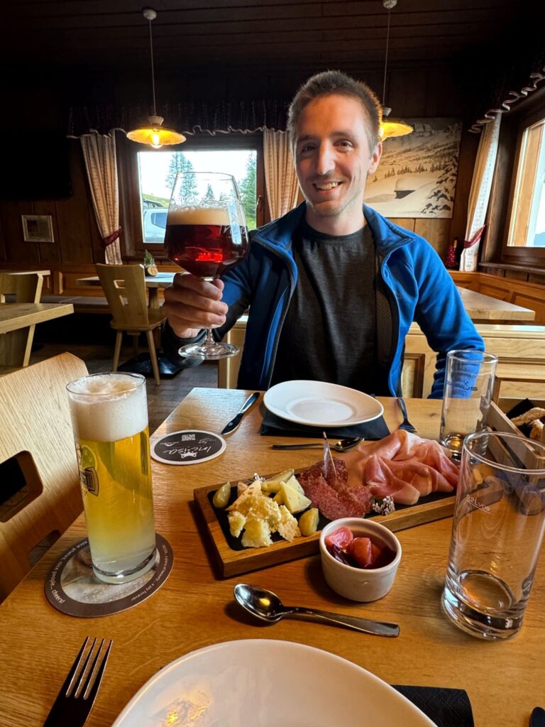
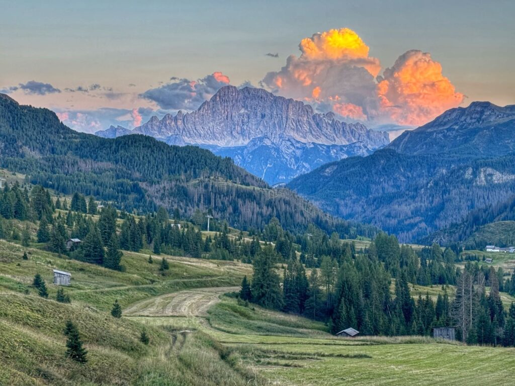
Day 3 Incisa Lodge to Rifugio Col Gallina
We awoke to a sea of fog outside our window. Today’s itinerary included four shorter segments totaling a little over 7 miles. We were looking forward to today’s hike as our guidebook mentioned “if you are hiking with a landscape photographer, put your patience pants on, and don’t expect to move quickly through here”. The hike did not disappoint. The first segment was only a mile but was a relentless, constant uphill battle back to the Pralongia. The clouds were putting on quite a show for us, with the sun making an appearance every few minutes.
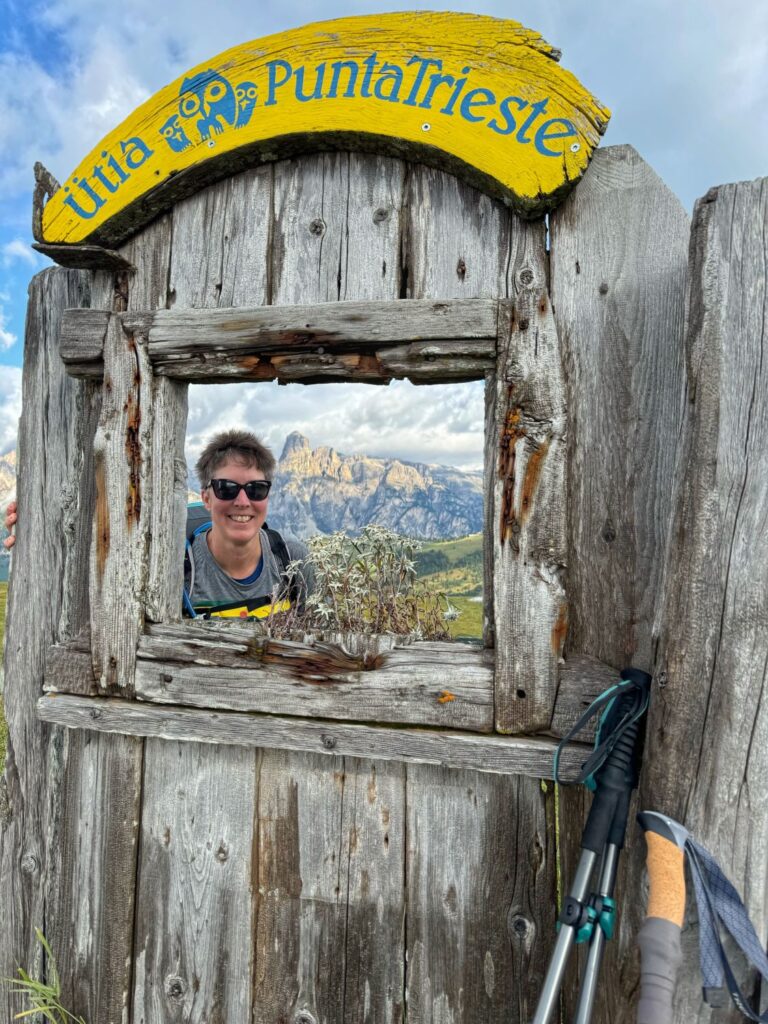
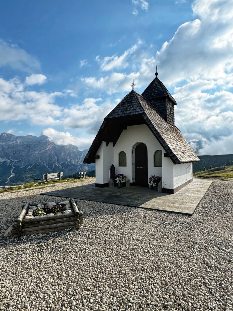
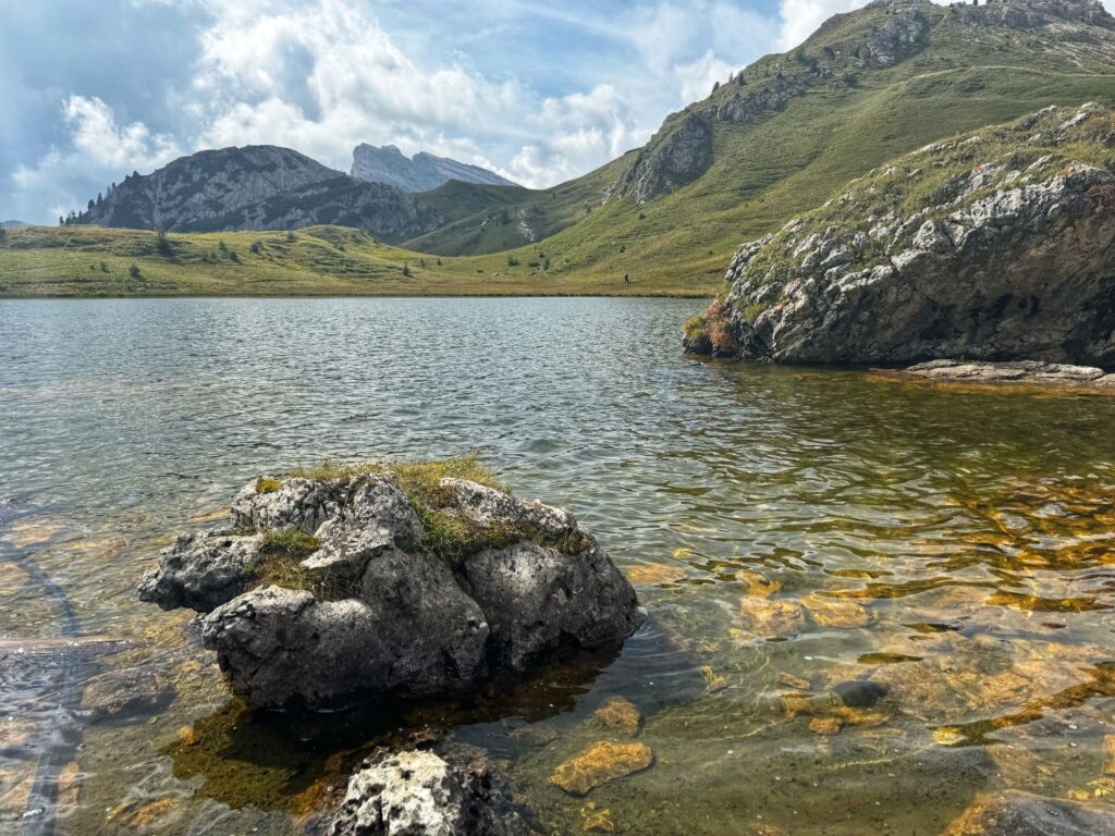
The second segment of the day was the most scenic. It was 4.6 miles of hiking with 1,112 ft of elevation gain and 1,001 ft of elevation loss. The beginning of the hike was quite muddy but extremely scenic. The trail follows along the Alta Via 9 before turning onto Trail 24 towards Valparola Pass. The descent to Rifugio Valparola was quite steep and rocky. We reached Rifugio Valparola in time for lunch. The rifugio sits right next to the road (SP24) and Valparola Lake.
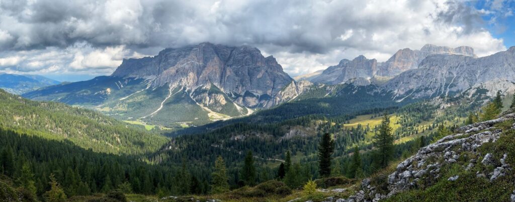
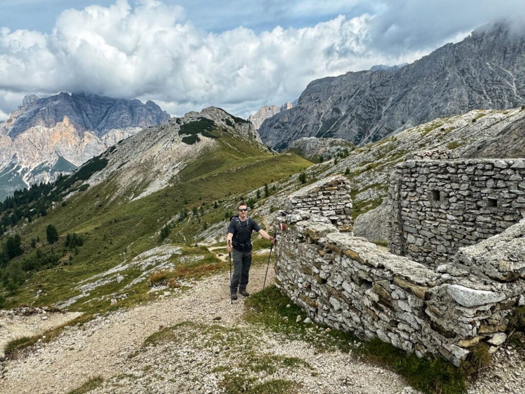
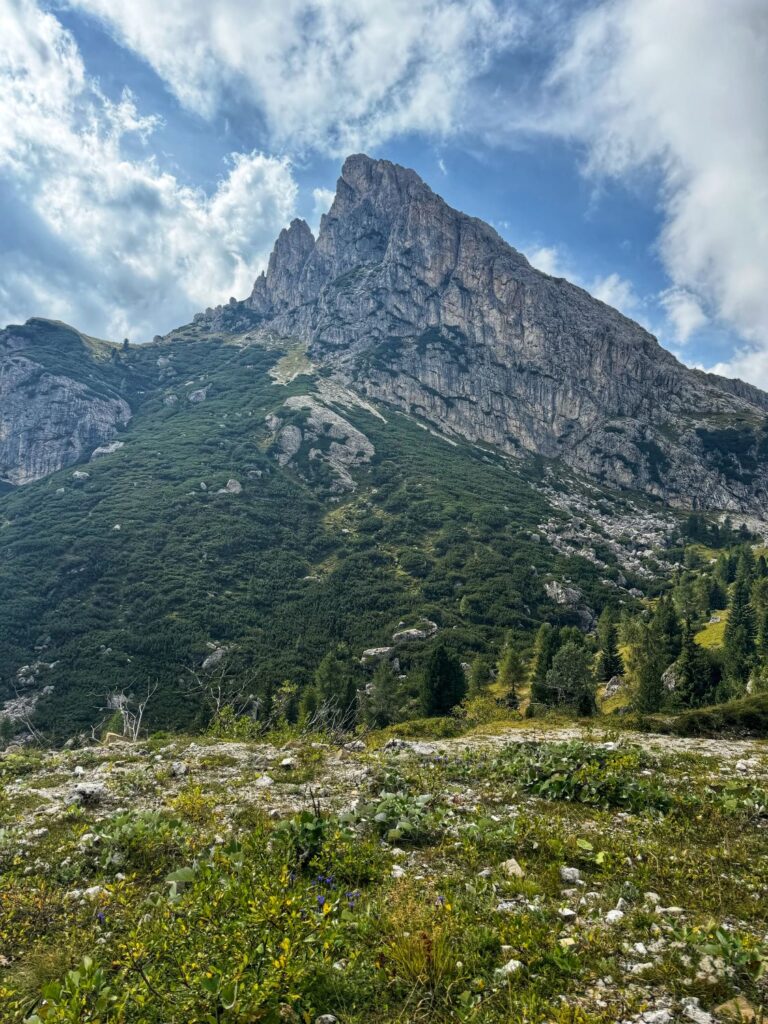
The weather as predicted, had changed for the worse. Temperatures were dropping even though we were at lower elevations, and the clouds had moved in. The third and fourth segment for the day totaled a little more than 2 miles and was mostly level. The trail followed along SP24 and passed by the Fort Tre Sassi, a World War I museum. It was not open when we were passing thru but is supposed to be a nice place to stop if you are interested in history. The trail passes by Sass de Stria, a 2,477m (8,126 ft) mountain which has a maze of WWI trenches and emplacements. We stopped to watch some climbers on the mountain. On the opposite side of the roadway is Mt. Lagazuoi at 2,835m (9,301 ft). We watched the cable car ascend to the Rifugio Lagazuoi. Our day ended at Rifugio Col Gallina where we had a private room with private bath. The rifugio was extremely crowded as an early season snow storm was predicted for the following day. Many of the hikers on the Alta Via 1 made their way down to the valley in anticipation of the storm.
Day 4 Rifugio Col Gallina to Cortina d’Ampezzo
Today’s hiking was supposed to be our biggest hiking day, covering more than 14 miles from Passo Falzarego to Rifugio Lagazuoi to Rifugio Dibona to Rifugio Pomedes to Cortina d’ Ampezzo, but mother nature had different plans. We had been tracking the weather since we started the trek. We knew we were hiking late in the season and snow was a definite possibility. The storm had been forecasted a few days earlier and we had been considering different alternatives if it came to fruition.
We awoke to a steady rain which turned to snow. Most of our original hiking itinerary had us hiking between 6,000-9,000 ft. It would definitely be snowing and there was a very good chance that we could lose the trail. In addition, we had planned to use cable cars/gondolas/chairlifts to cut down the mileage on descents and it appeared most of these lifts were not operating. We talked with a lot of other hikers who were also bailing on their scheduled trekking itineraries. We felt bad for those hikers on the Alta Via 1, because if you miss a day on that trek, you then face lodging logistics and need to add some serious mileage to play catch up.
We decided to go with plan B which was to explore the Lagazuoi Tunnels before taking the bus to Cortina d’Ampezzo. We hiked back to Passo Falzarego and took the cable car up to Rifugio Lagazuoi at 9,029 ft. We then hiked out to the entrance of the Lagazuoi Tunnels which is located on the fore-summit of the Piccolo Lagazuoi, just a short distance from the rifugio. The path does have some exposed areas. These tunnels were built during World War I by the Italians. This area was the site of many Italian – Austrian battles during the war. The tunnels run inside the mountain for more than 1km. The tunnels are quite steep and pitch black, with occasional light let in thru some cutout windows in the rocks. There are cables set in the rock inside the tunnels but a via ferrata set is not needed. The ceiling of the tunnels is quite low and it is recommended to wear a helmet or at least a hat to protect yourself from hitting the ceiling. Headlamps are a must.
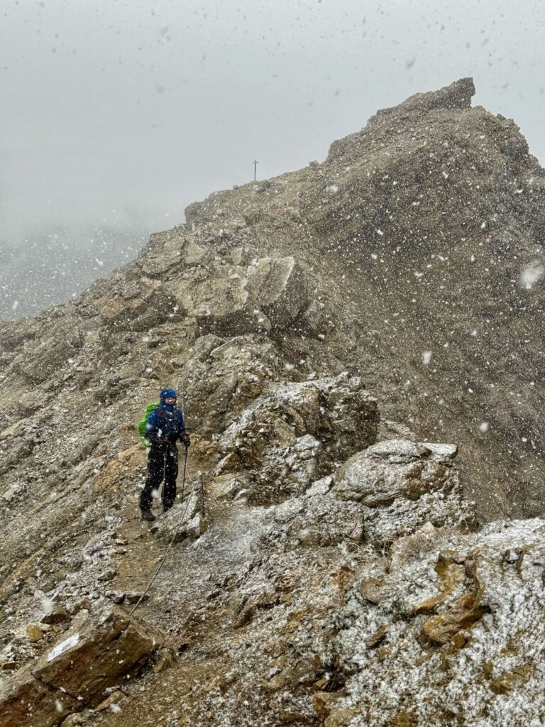
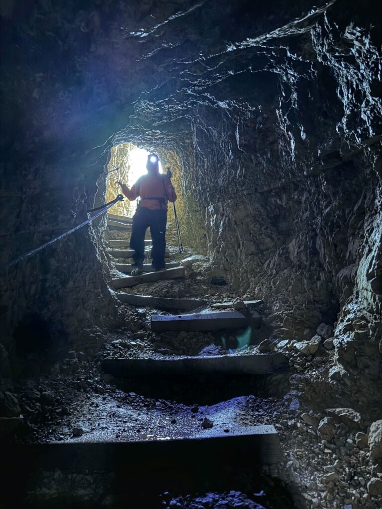
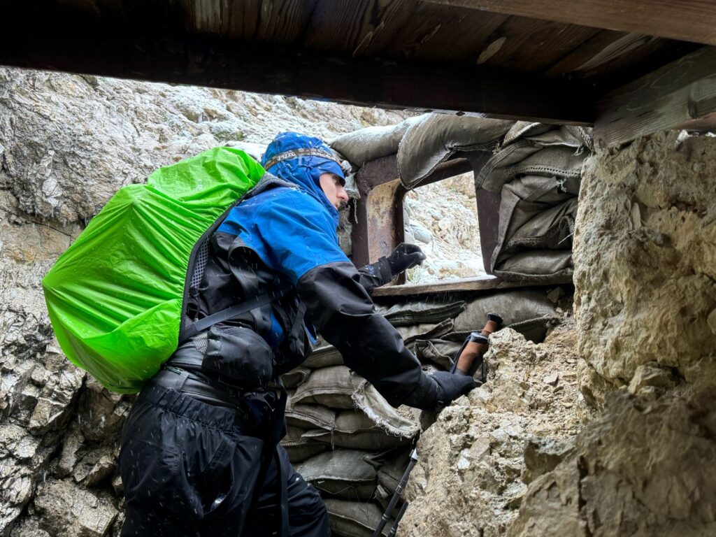
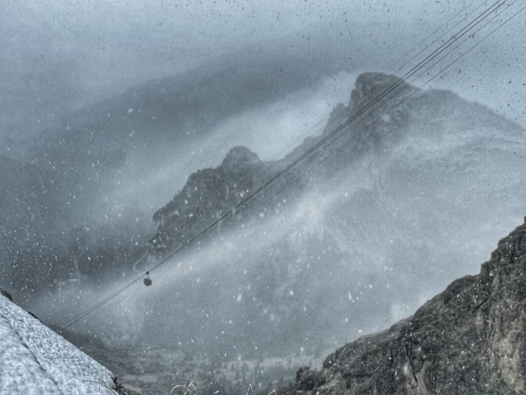
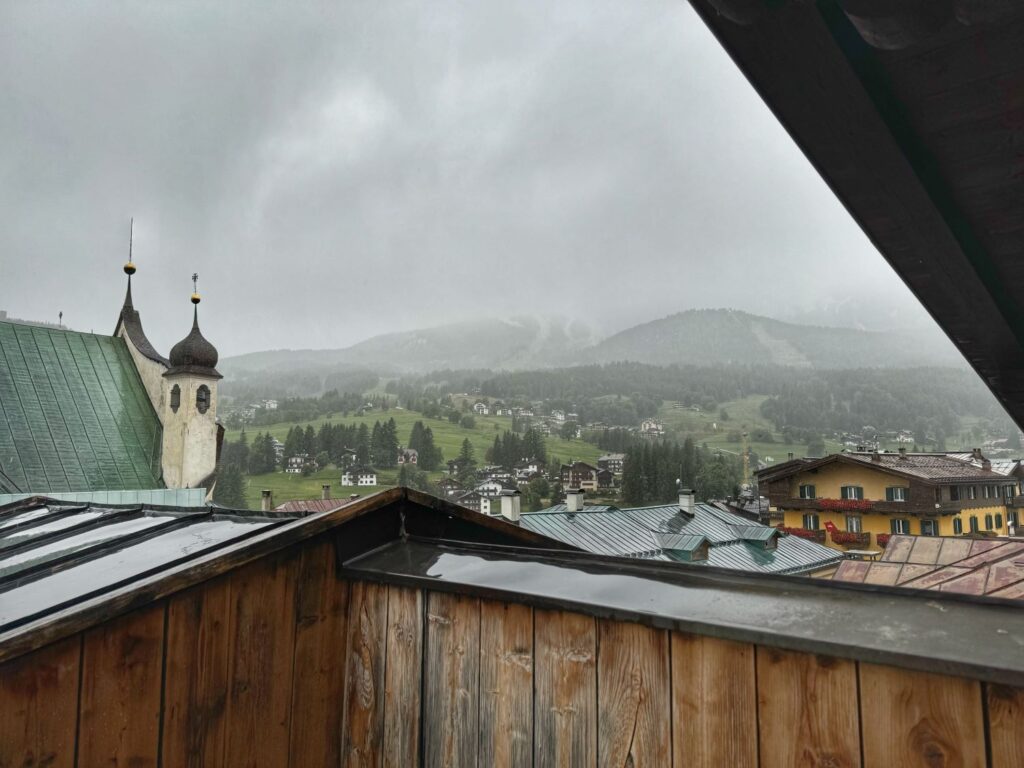
We hiked partway down thru the tunnels before turning around and hiking back up to Rifugio Lagazuoi. We weren’t sure how the trail would be from the bottom entrance of the tunnels to Passo Falzarego, so we thought this was the safer choice (although it was a very steep return). We took the cable car back down to Passo Falzarego. Roundtrip on the cable car cost $29/per person. By the time we reached Passo Falzarego it was now snowing at the lower elevations. Our plan had been to take the bus from Passo Falzarego to Cortina but to our dismay we learned that the bus had stopped running for the season the day before (not related to the snow). Since we were traveling late in the season, I had checked the bus schedules of the two buses that I knew we were going to have to take at the start and end of our trip to confirm that they were running, but I did not check the schedules of any of the local Cortina buses as we had not planned to use them. Fortunately we were able to hitch a ride with an Australian couple who had a private transfer to Cortina already arranged. We reached Cortina around 12:30pm and were allowed to check-in early to our hotel, Hotel Montana. We would be spending the next 3 nights in Cortina.
Days 5 & 6 “Rest” days in Cortina d’Ampezzo
The next two days were “rest” days in Cortina. See my separate post on the Ra Bujela Via Ferrata.
Day 7 Cortina d’Ampezzo to Rifugio Vandelli (Lago di Sorapis)
It was time to start trekking again. There was still snow up in the higher elevations, so at the recommendation of our Via Ferrata guide, we decided to change our route to get to Rifugio Vandelli and Lago di Sorapis via Rifugio Faloria and Forcella Marcoira. Our original itinerary had us hiking two segments for a total of 7.2 miles, both segments being listed as difficult. We had planned to take the Faloria gondola to skip the first segment, but the gondola was not running. This cemented our decision to change the route.
We took a taxi ride for about $32 from Cortina to Passo Tre Croci. From here we embarked on trail 215 towards Rifugio Vandelli. This is a very popular trail and was very crowded. There were beautiful views along the trail, but as we gained elevation the trail got muddier, narrower and more crowded. There are exposed ledges along the way so we had to stop quite often to let hikers pass in the opposite direction. We saw plenty of hikers who were really not prepared for this hike.
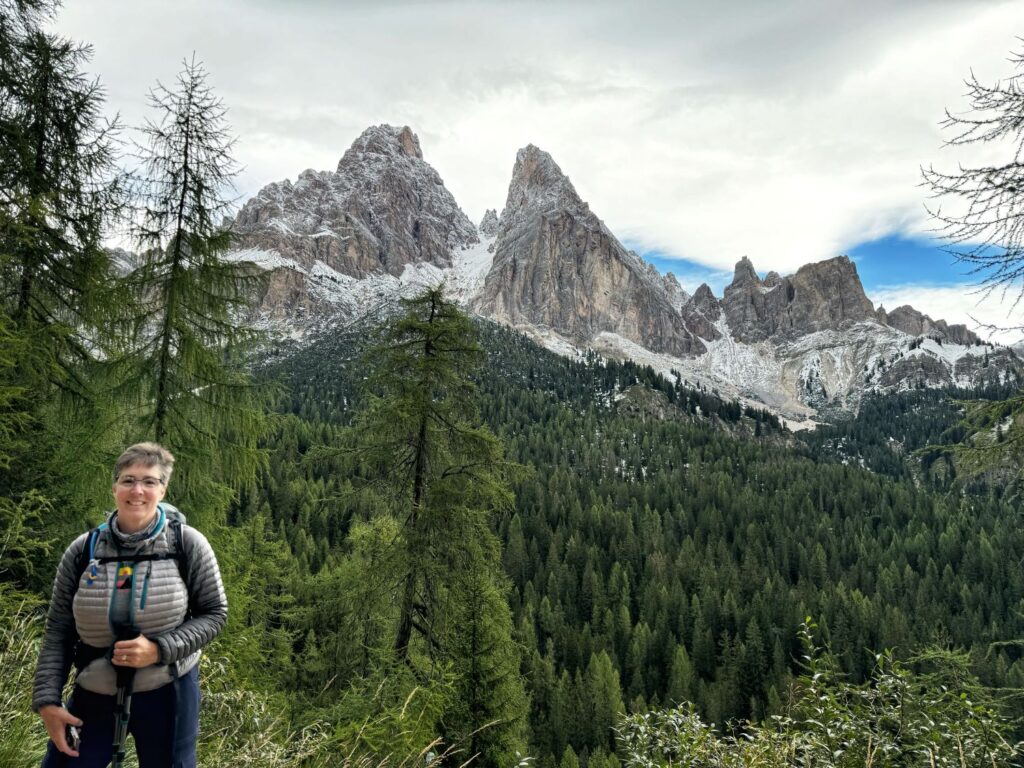
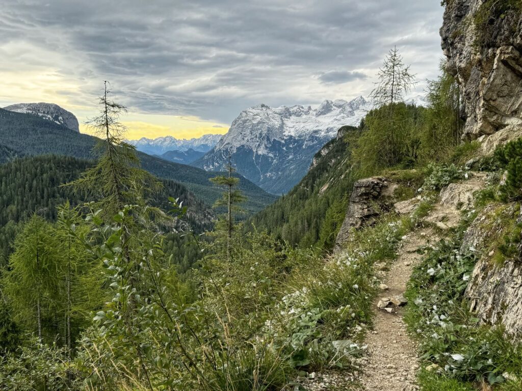
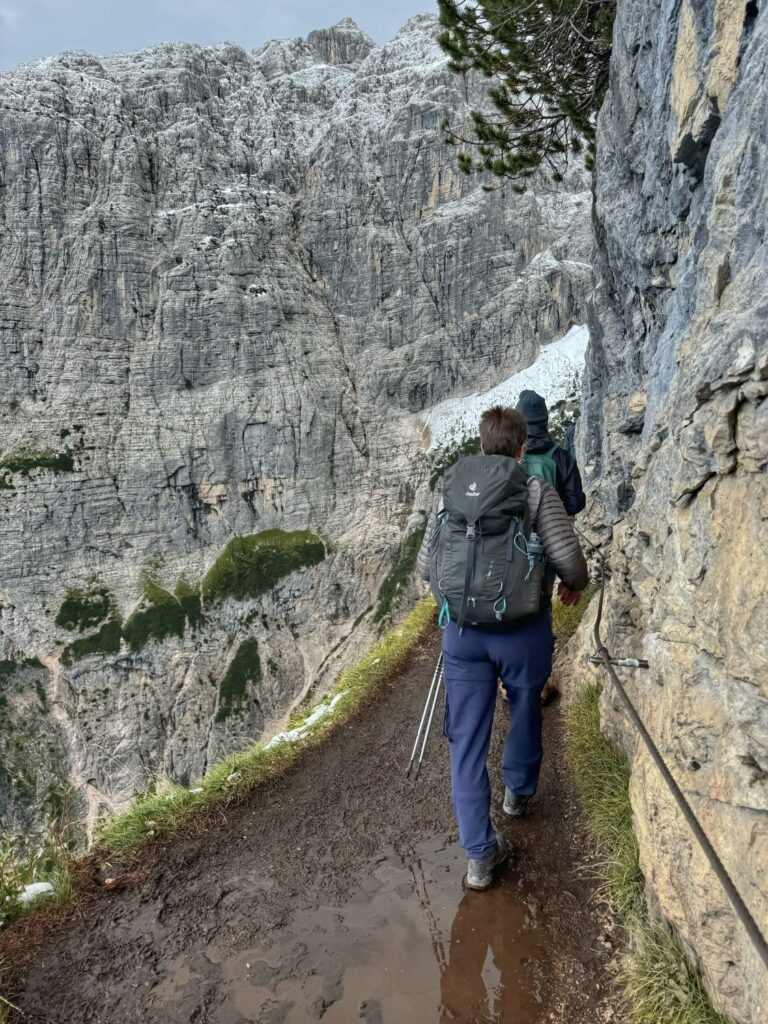
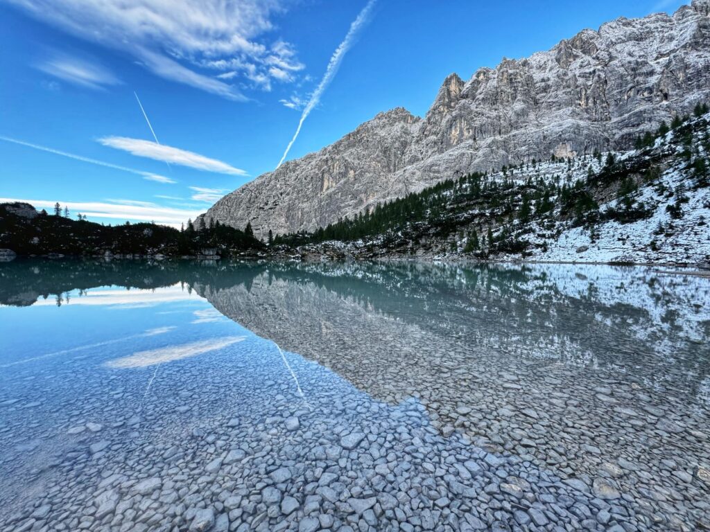
We arrived at Rifugio Vandelli at lunchtime and it was extremely crowded (and cold). Fortunately we were able to snag a table and enjoy a nice lunch with a gorgeous view. You cannot check-in to this rifugio until 4PM, so after lunch we headed to the lake. We walked the circumference of the lake. The further we got from the main trail the less people we encountered. The lake was a stunning turquoise color and with the surrounding snow covered mountains it looked like a fairy tale scene.
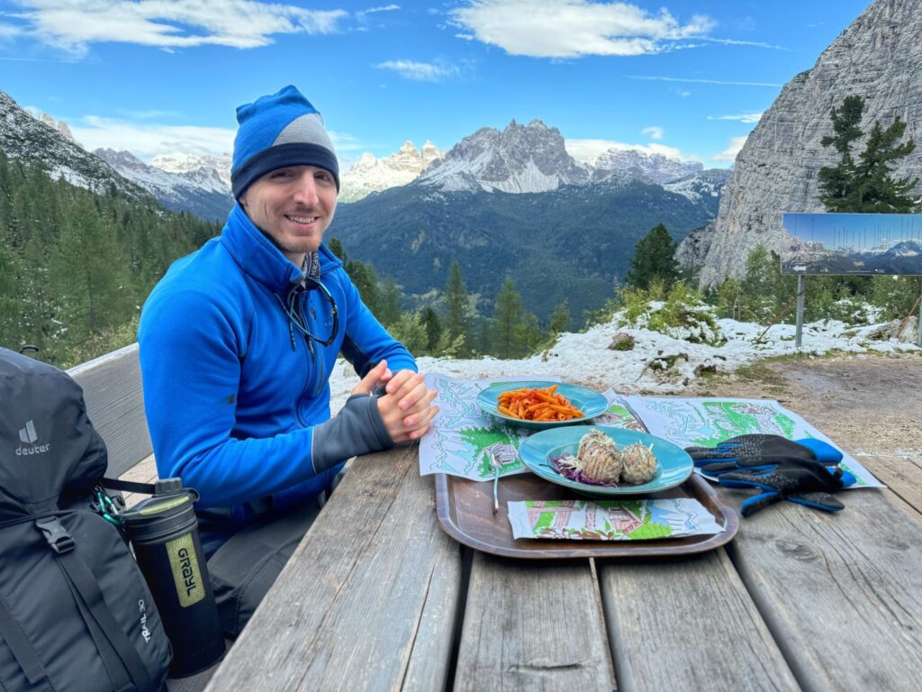
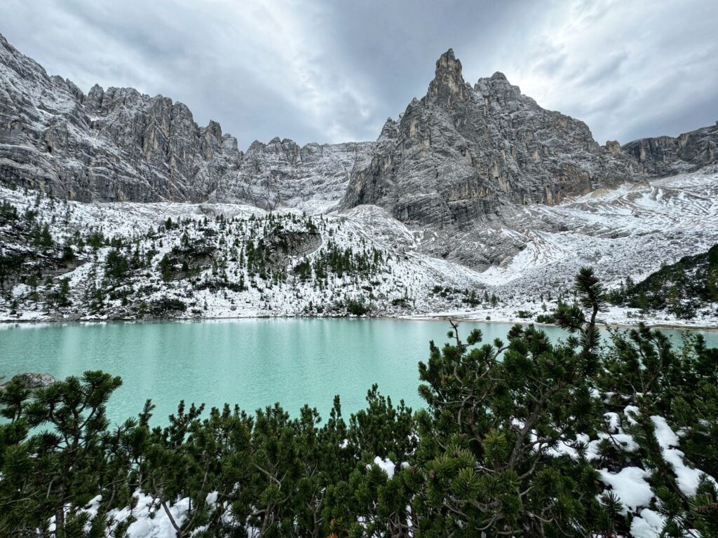
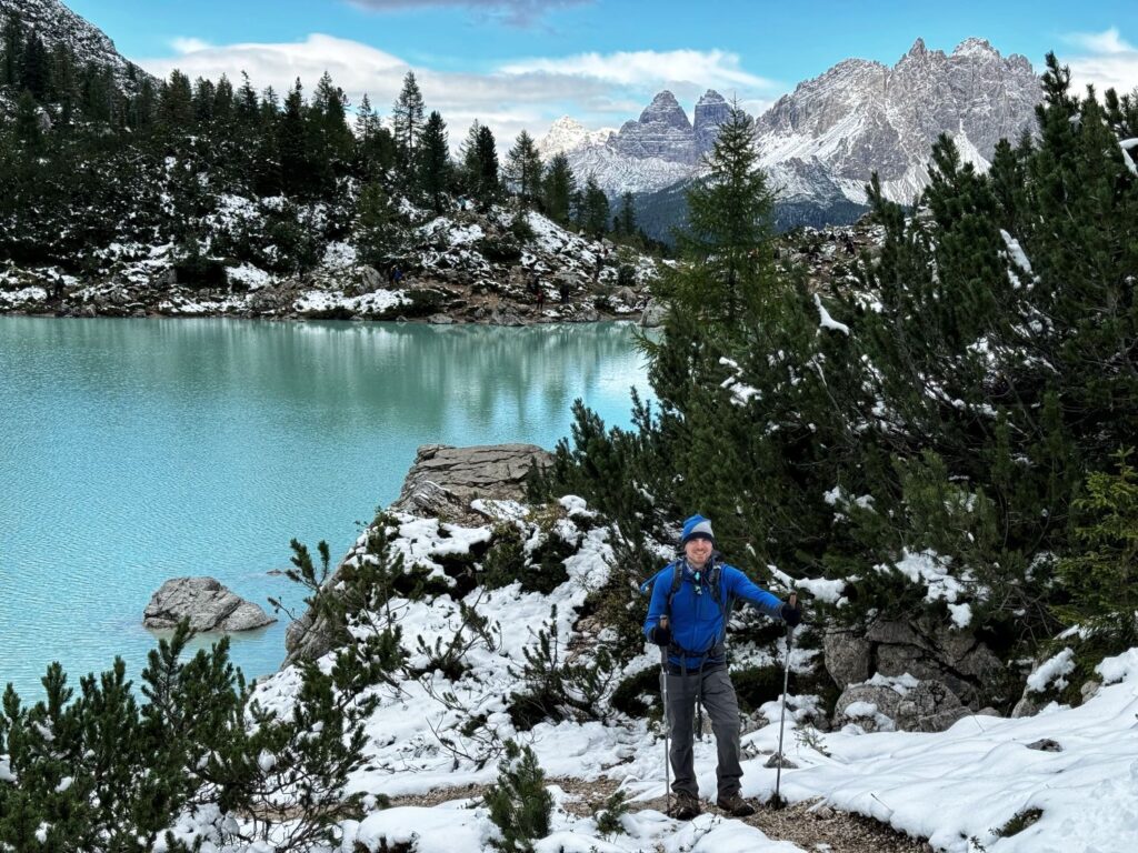
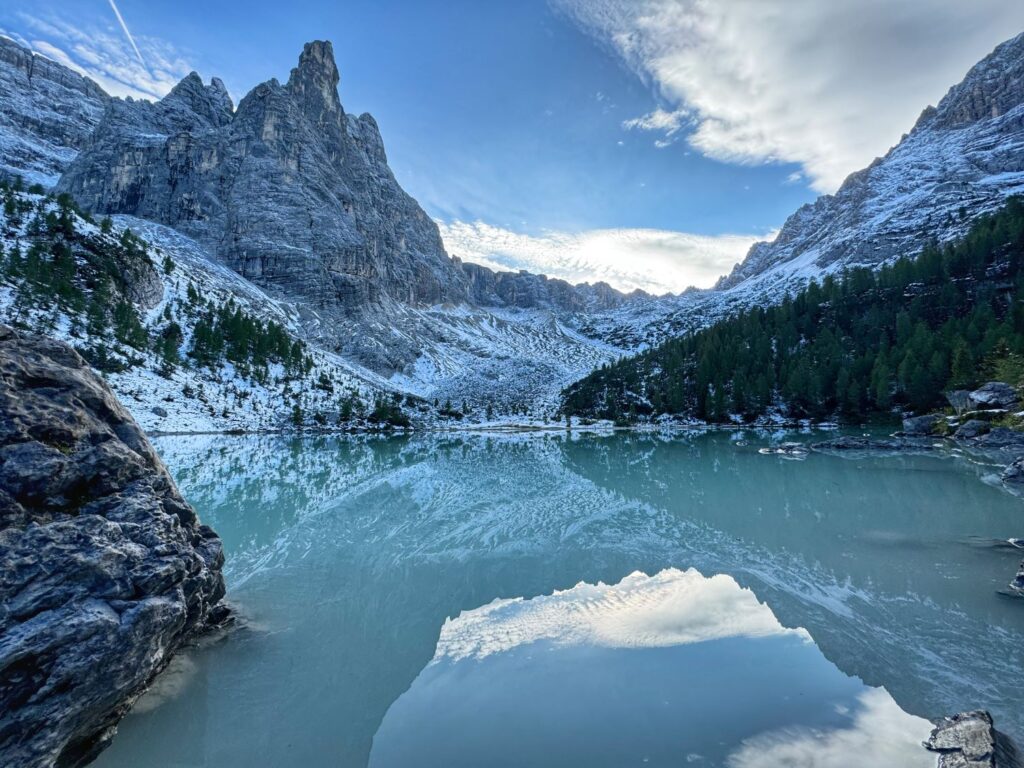
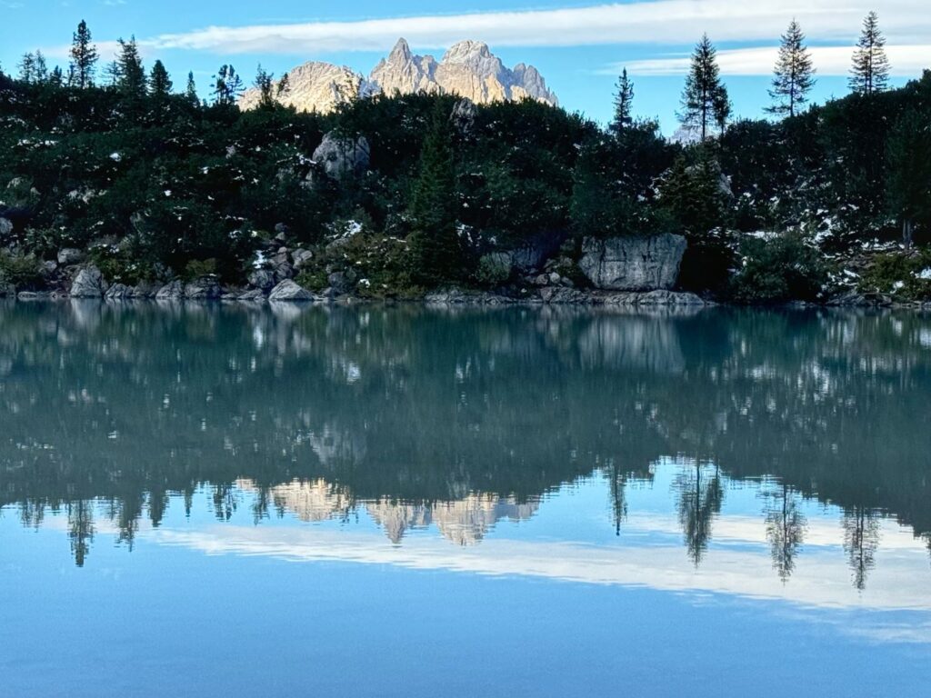
After exploring the lake for a bit, we returned to Rifugio Vandelli to check-in. The crowds had thinned out and the only hikers around were those that were staying overnight at the hut. This was the most basic hut we stayed in. There were no showers, wifi, or cell service. We shared an 8 bed (4 bunks) dorm room with 3 other male hikers. After dropping off our backpacks we headed back to the lake which we had all to ourselves. The reflections on the lake were gorgeous. Dinner was pretty basic but we had a nice conversation with Tor from Norway and Tim from England and we had a wonderful sunset.
Day 8 Rifugio Vandelli to Rifugio Col de Varda
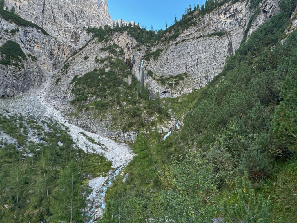
We got an early start today, primarily because the rifugio had a very early check-out time (8AM). The sun was shining and it was rather cold. We departed from Rifugio Vandelli on Trail 217, following the Alta Via 4. Today we would be hiking two segments, Rifugio Vandelli to the non-operational Hotel Cristallo and then Hotel Cristallo to Rifugio Col de Varda, with a detour to Rifugio Citta di Carpi. The first segment was 2.6 miles of hiking with an elevation loss of 2,178 ft. There were some steep, semi-technical sections along this trail, but no sheer drop-offs. We had a view of a a beautiful waterfall along the way and the trail eventually followed along the stream, after the waterfall.
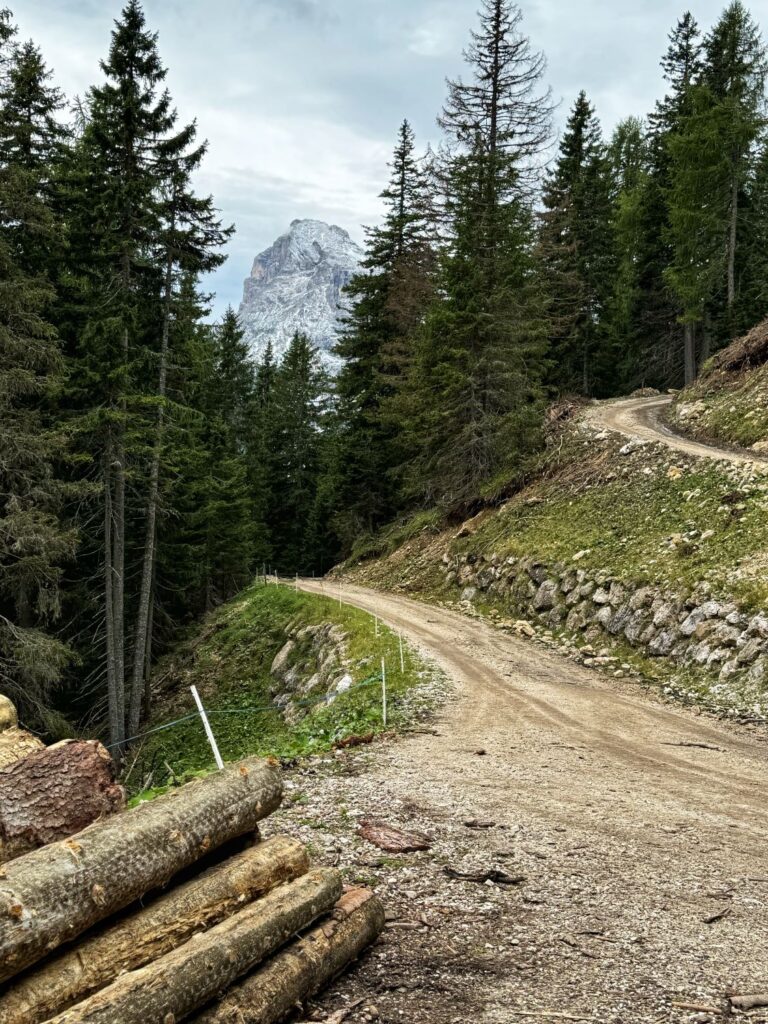
Upon reaching Hotel Cristallo we began the second segment of the day, a 6.5 mile hike with 2,966 ft of elevation gain. This was our least favorite segment of the entire trek (at least the first 3.5 miles). We followed Trail 1120 which was basically a logging road with A LOT of switchbacks. We had arranged a boxed lunch from Rifugio Vandelli since we knew we would want to eat lunch before reaching Rifugio Citta di Carpi. We found a wooden bench along Trail 1120 and took a well deserved lunchbreak.
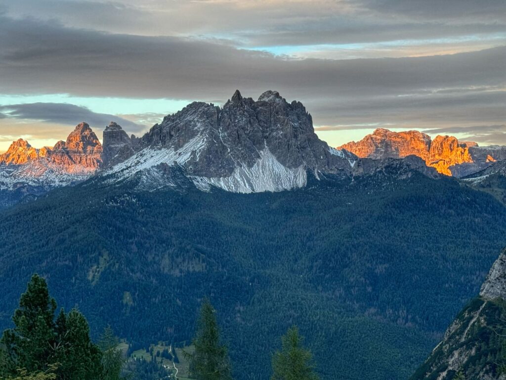
After reaching the split for Rifugio Col de Varda and Rifugio Citta di Carpi we continued along the trail to the right towards Rifugio Citta di Carpi. We stopped in at Rifugio Citta di Carpi for an afternoon snack of strawberry pie and blueberry buckle. The highlight of the stop at Rifugio Citta di Carpi is the view from the back of the rifugio. The view looks out over the Cadini di Misurina, a beautiful group of mountains.
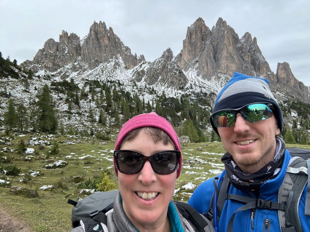
We headed back down the same trail we came up until we reached the junction of the trail to Rifugio Col de Varda, where we went straight. There was one final, steep section that led up to the rifugio. The trail from Rifugio Citta di Carpi to Rifugio Col de Varda was much more scenic than the trail earlier in the day. We had a private room at Rifugio Col de Varda with two shared bathrooms. We enjoyed hot showers as none were available on the prior day at Rifugio Vandelli. There were only two other guests staying in the rifugio that night as it was the end of the season. There is a chairlift right outside the rifugio that leads down to Lake Misurina, a popular tourist location. Again, we were treated to a lovely view during dinner.

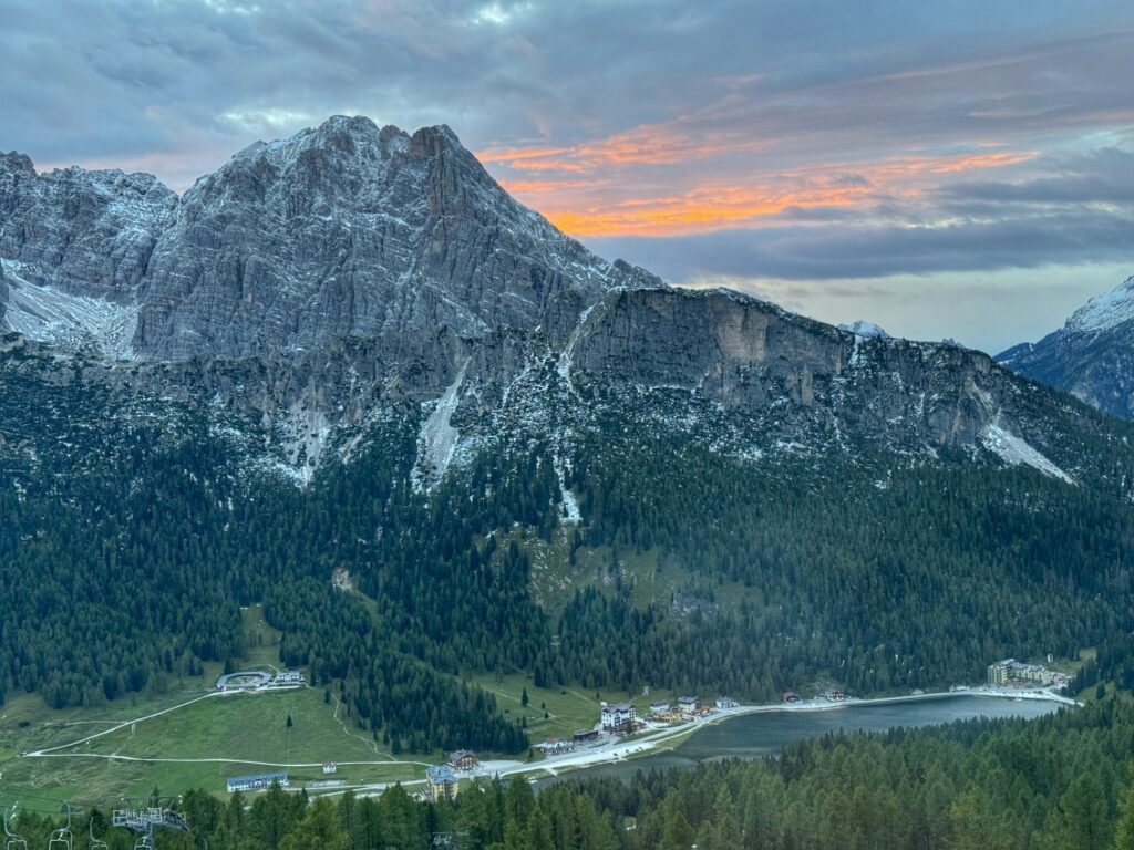
Day 9 Rifugio Col de Varda to Rifugio Locatelli (Tre Cime di Lavaredo)
Today’s itinerary included two segments, the first Rifugio Col de Varda to Rifugio Auronzo passing by Lago di Antorno, and the second Rifugio Auronzo to Rifugio Locatelli (Drei Zinnen Hütte). The morning started on a few unmarked trails as we made our way down to Lago di Antorno. The trail then continued around the lake on a boardwalk before beginning a steep ascent. The toll road up to Rifugio Auronzo was visible at times.
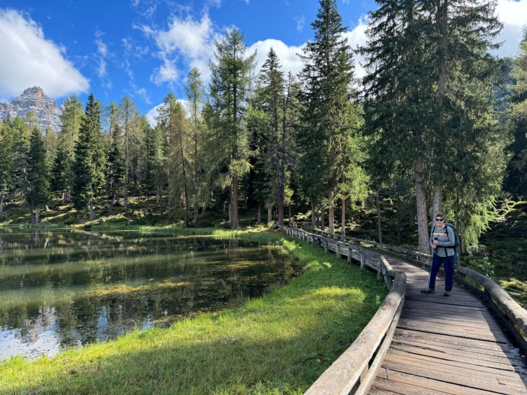
We found the section from Lago di Antorno to Rifugio Auronzo to be physically quite tiring. It was a 5.5 mile hike with 1,932 ft in elevation gain and 1,224 ft elevation loss. There were a lot of steep ascents followed by steep descents and we also came across a very icy section. At one point we crossed over the toll road and finally caught a glimpse of the rifugio. This rifugio has two huge parking lots and was extremely busy. The lunch service is cafeteria style and it was quite cold here so we ate inside.
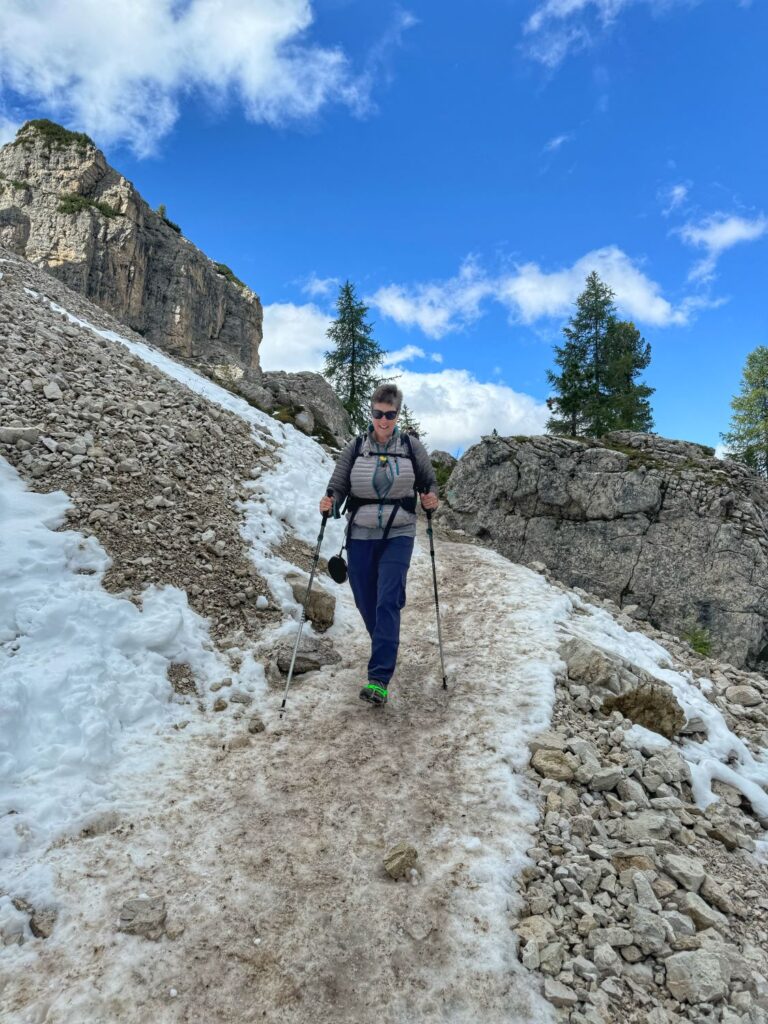
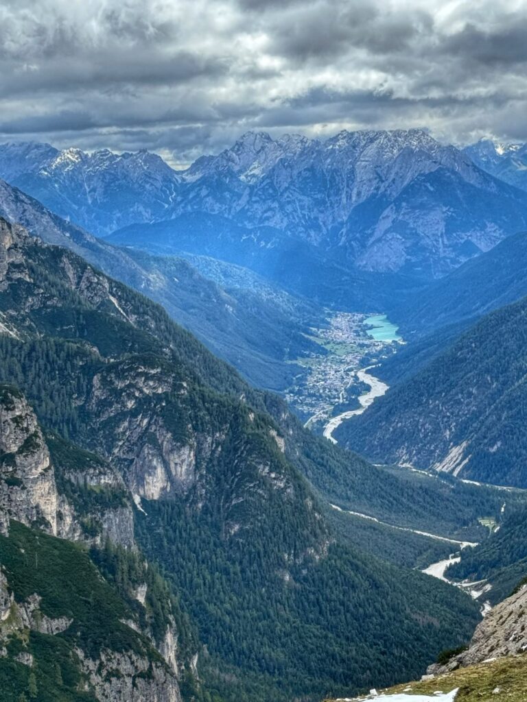
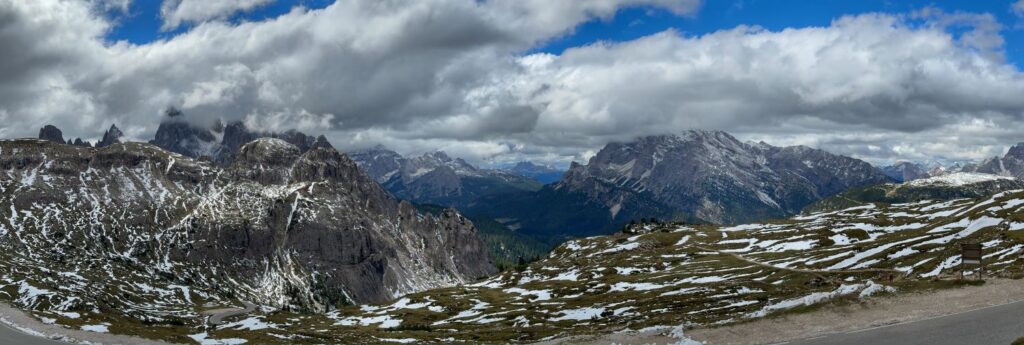
From Rifugio Auronzo we began our second and final segment of the day. There is a 6.3 mile loop trail that goes around the Three Peaks of Lavaredo, however we were only hiking half of the loop to Rifugio Locatelli (Drei Zinnen Hütte) which was a 3.2 mile hike with 906 ft of elevation gain and 650 ft of elevation loss. While the hike was listed as moderate in our itinerary, there was a lot of snow on the trail which slowed us down. Additionally, we were hiking in a clockwise direction which was the opposite of most other hikers. We had to stop quite frequently on the narrow, snow-covered trails to let large groups pass. We took a small break at Malga Langalm, but did not get anything to eat there.
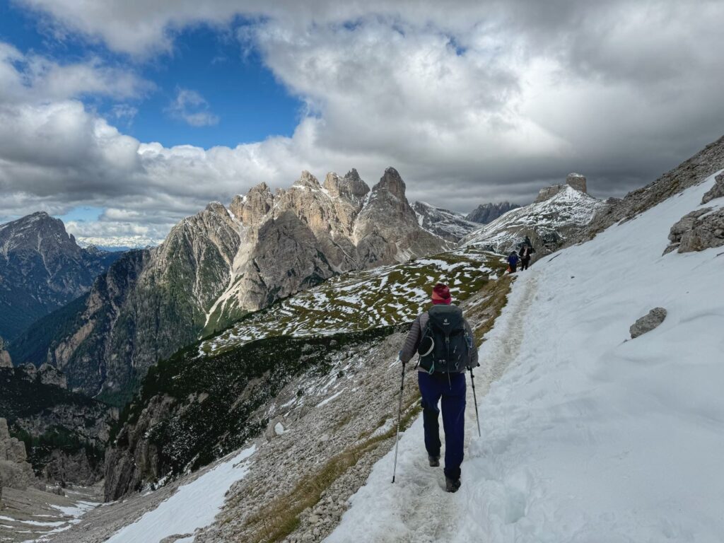
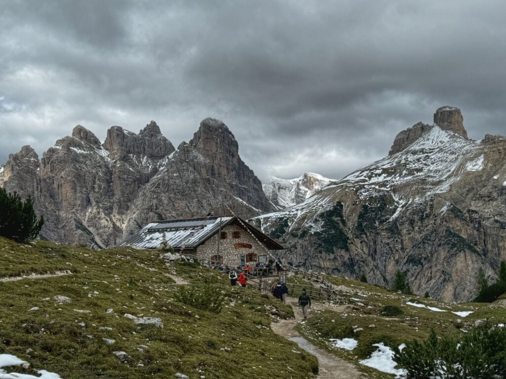
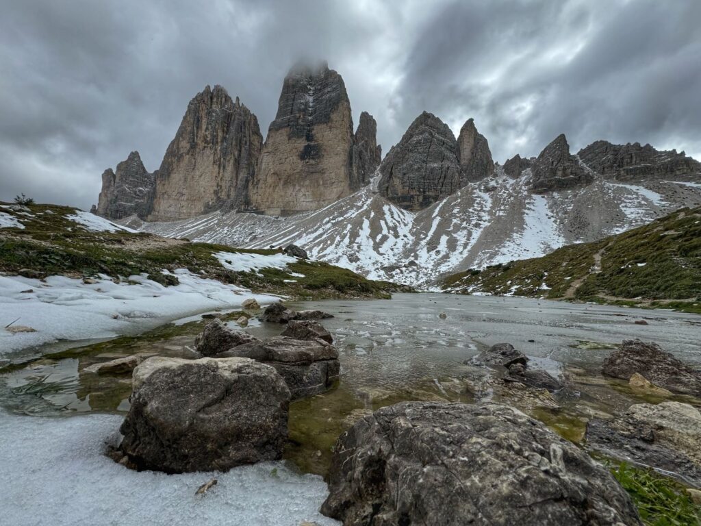
After leaving Malga Langalm on path 105 we had a very steep descent and saw a lot of people struggling coming in the opposite direction. From this point on we had constant views of the Tre Cime. After descending, it was our turn for a steep ascent up to Rifugio Locatelli (Drei Zinnen Hütte), our lodging for the night. The first part of the ascent was via a lot of switchbacks. The second part of the ascent involved some stairs.
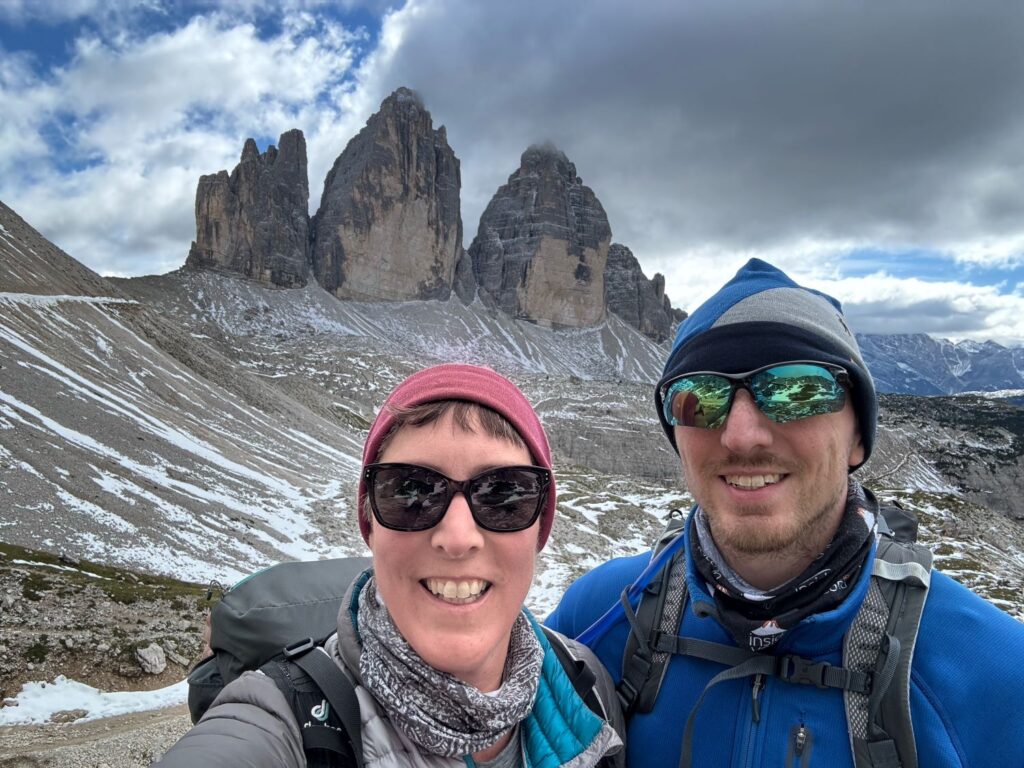
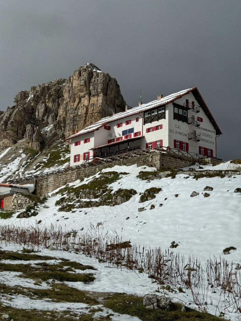
This rifugio was quite crowded and it was very cold so most people were inside at the bar/restaurant. We checked into our private room located on the second floor. The room had two twin beds, the shared bathrooms were located on the third floor along with quite a few dormitory rooms. After dropping our backpacks off, we headed out to explore the two small lakes located behind the rifugio, Laghi dei Piani.
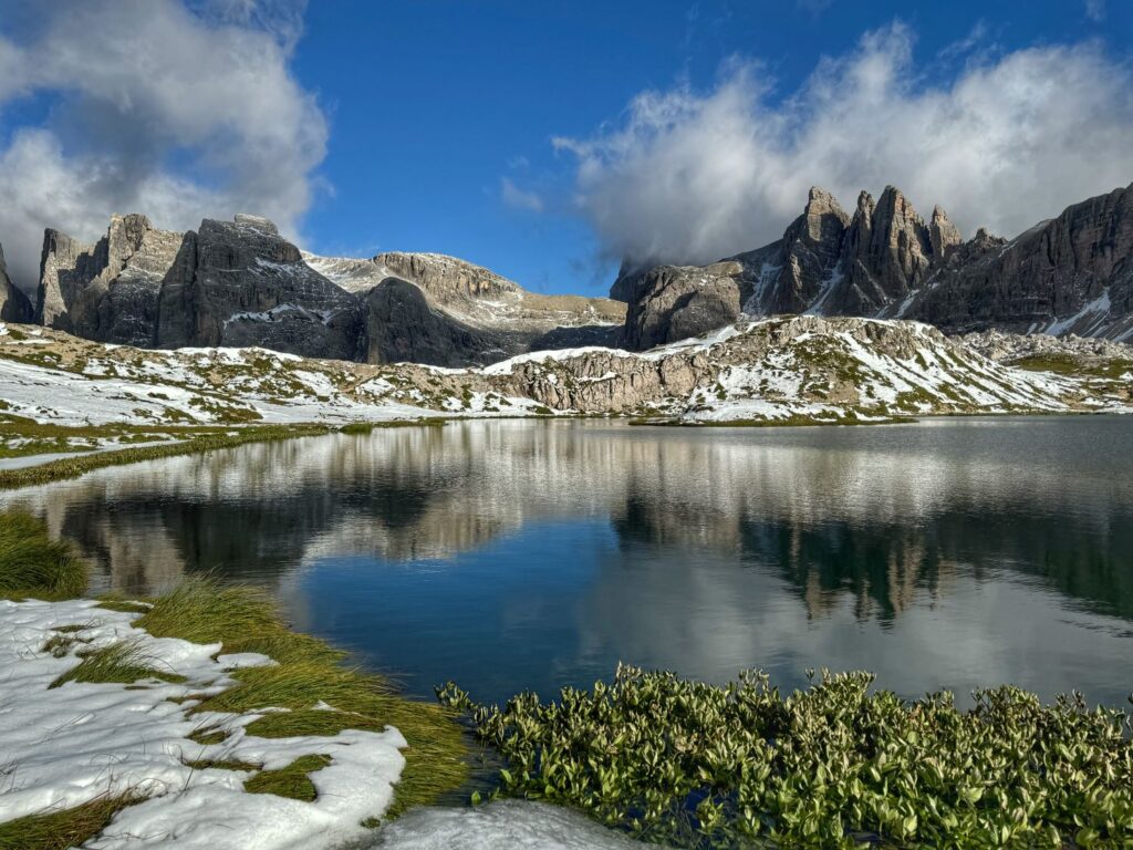
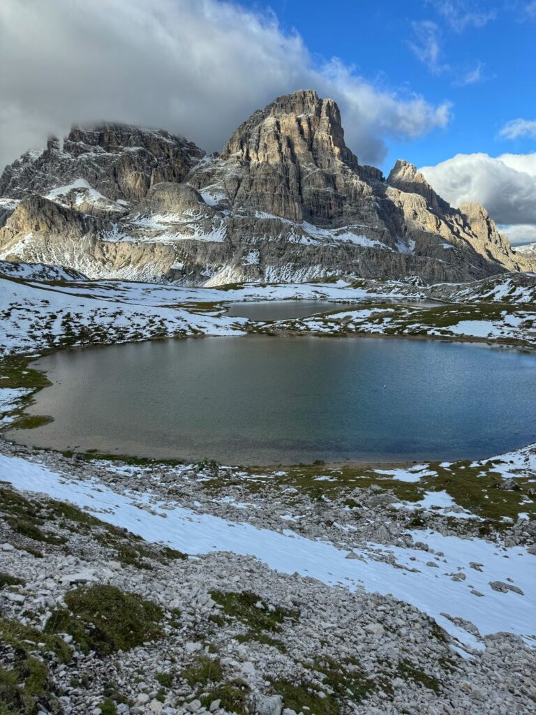
Dinner at the rifugio had assigned seating and three entrees to choose from. We agreed that this was the second best meal of the trip. Both of us had the bacon filled tortellini as an appetizer and the plum cake for dessert. I had the roast beef with gravy, crispy onions, carrots, and mashed potatoes while Colin had pork ribs with roasted potatoes and sauerkraut. Our table-mates included a couple from Oxford, England and a solo Japanese girl who is living in the Czech Republic. We could tell looking out the window during the meal that we were going to be treated to an awesome sunset.
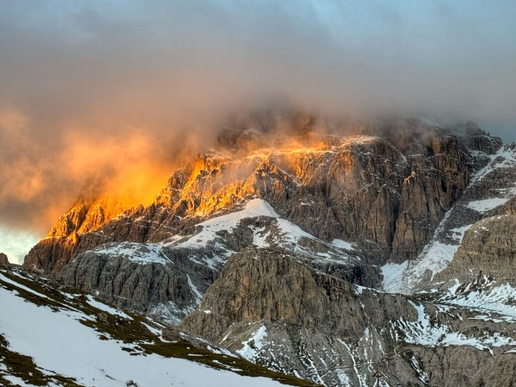

Day 10 Rifugio Locatelli to Drei Zinnen Blick, onward to Bressanone/Brixen
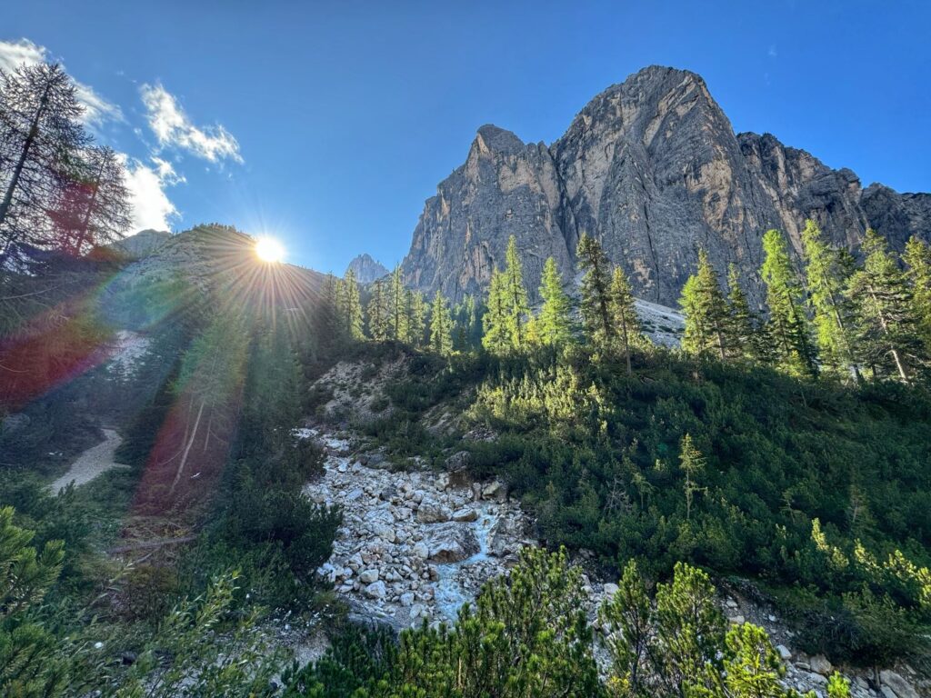
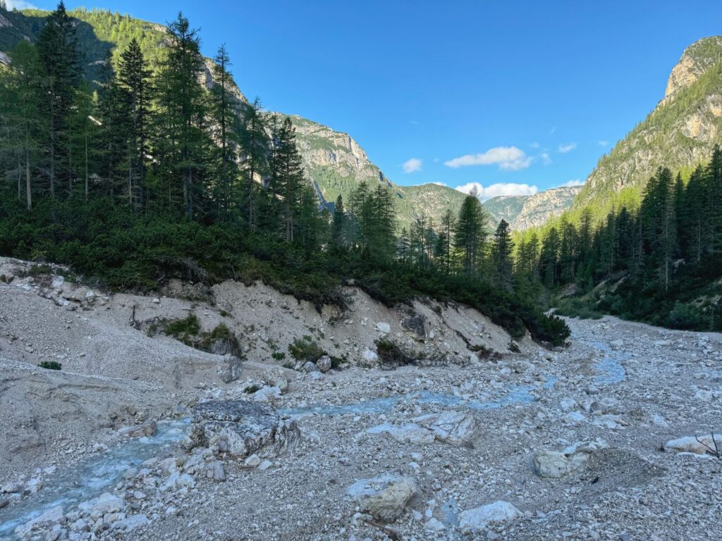
We got an early start on our last day of trekking, leaving the rifugio around 7:45am. We had a 5.1 mile all downhill (3,291 ft elevation loss) hike to complete. Colin’s knees were not very happy with this trail. The weather was perfect. Trail 102 followed a gorge between the mountains. A gurgling stream was by our side for the majority of the second half of the hike. We reached the Drei Zinnen Blick (bus stop) around 11AM and had a quick snack at the Drei Zinnen Restaurant nearby. We did it – trek completed!!!
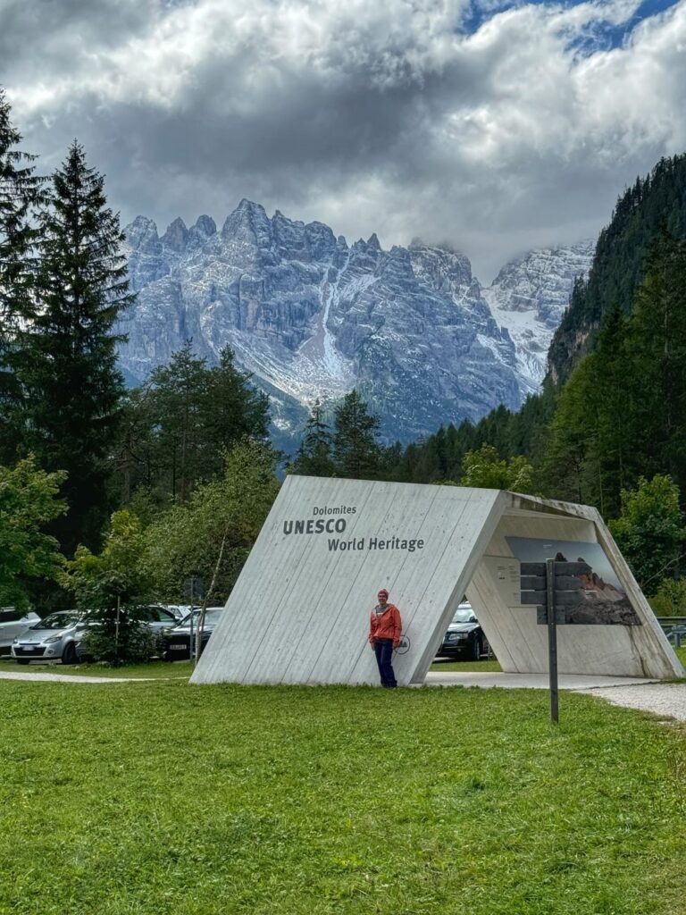
The 11:31 bus to Dobbiaco never materialized so we were starting to panic, however the 12:31 bus 445 showed up on time. It was a 17 minute bus ride to the town of Dobbiaco. In Dobbiaco we walked across the street from the bus station to the train station and caught the train to Fortezza/Franzensfeste where we caught another train to Chiusa/Klausen where we were reunited with our luggage. Finally, we took the bus back to Bressnone/Brixen and checked into our hostel – Youth Hostel Brixen-Bressanone. We had a private room here and it was pretty much like staying in a hotel, only we had to pay for our towels and we had to strip the beds when we left. Definitely worth the price! Bressanone/Brixen was a very cute town although we didn’t get to explore very much. We had our final Italian pizza & Wienerschnitzel at Kutcherhof Restaurant. The following morning we would begin our journey back to the Münich Airport. This was a wonderful adventure and has replaced Switzerland as my all-time favorite vacation!!
