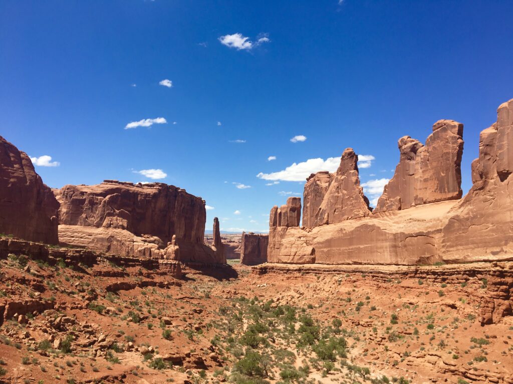
In 2013 the state of Utah launched a $3.1 million campaign to promote the state’s “Mighty Five” National Parks: Arches National Park, Bryce Canyon National Park, Canyonlands National Park, Capitol Reef National Park, & Zion National Park. The campaign has been wildly successful, almost too successful for its own good. The parks have now become extremely popular & overcrowded, especially Arches and Zion. Park officials have had to institute crowd control measures such as timed entry (Arches) and mandatory shuttle services & permit hiking (Zion). Planning a trip to these parks can be quite tricky nowadays. Make sure you check the National Park Service website www.nps.gov for specifics related to each park and any pre-trip reservations that you may need to make (they fill up very quickly). Also consider visiting during the shoulder seasons (between high and low season). My son Ryan, and I traveled to the “Mighty Five” in May of 2018 and were joined by my sister-in-law Sandy for the first 5 days of the trip in Moab. I had previously visited Bryce and Zion with my parents back in 2010, so we did not spend as much time in these parks as is warranted if this will be your first visit. We had absolutely gorgeous weather for the trip, only seeing raindrops & gray skies on one afternoon. Read on for our itinerary.
Day 1 – Arrival into Salt Lake City and travel to Moab
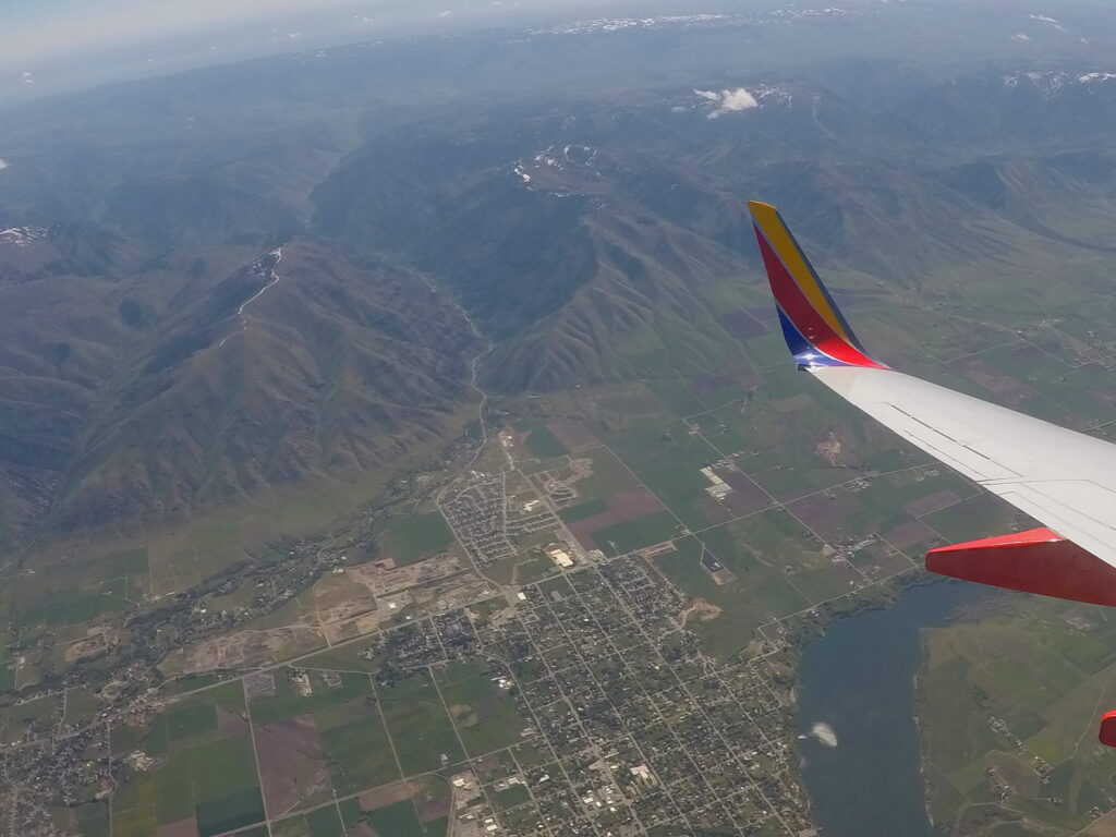
We flew on an early flight from the East Coast, arriving in Salt Lake City late in the morning. After picking up our rental car we drove 3 ¾ hours from Salt Lake City to Moab, UT and checked into our 3 bedroom condo located southeast of the town center, overlooking the golf course. We stocked up on supplies in the town center and ate dinner at the Moab Brewery. This itinerary can also be done flying in and out of Las Vegas. To cut down on drive time, you can fly into Salt Lake City and out of Las Vegas (or vice versa), but the cost of returning the car to a different airport can be quite significant and we didn’t mind the extra driving as we were flying home on a red-eye. Lodging: VRBO condo in Moab
Day 2 – Hiking Devil’s Garden, Arches National Park
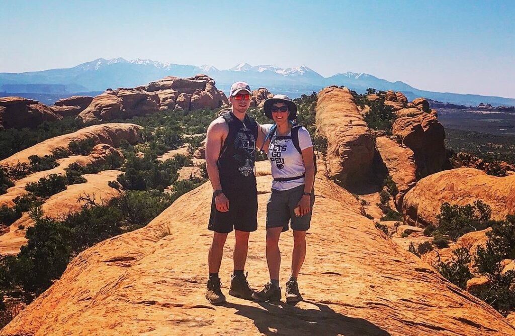
Day 2 started with an early wakeup, as we were trying to beat the crowds into the park and the heat. The timed entry system was not instituted until 2022, however, prior to this, the park was known to shutdown entry into the park if the park became too crowded or the queue to enter the park spilled out onto the highway. We hiked in an area known as Devil’s Garden which is also where the in-park campground is located. We hiked out to Double O Arch on the main trail and returned via the Primitive Trail, visiting all 7 major arches, but skipping the spur trail to Dark Angel. Our total hiking mileage was 7 miles. Bring plenty of water along for this hike, the Primitive Trail is considered strenuous, as there is little shade on this trail, no access to water, and the heat can be quite unbearable.
We stopped at Balanced Rock on our way out of the park. There is an easy 0.3 mile hike around the base of the rock. Just before exiting the park we stopped at the Visitor Center for some much needed air conditioning. We also did some shopping and took in the short movie, “A Window in Time” in the Visitor Center theater. Dinner consisted of grilled steaks back at the condo and then we took an evening scenic drive on the LaSal Mountain Loop.
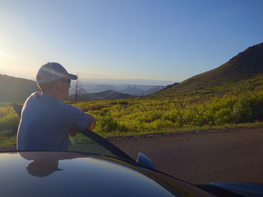
The Lasal Mountain Loop is a 60 mile drive that winds thru the Manti-La Sal National Forest and the Castle Valley canyon area. The road was under construction when we visited and the drive was quite sketchy at times, especially if you are afraid of heights. However, it was a nice way to enjoy the evening. We capped off the night with gelato at MOYO (Moab Yogurt). Lodging: VRBO condo in Moab
Day 3 – A Lot of Hiking in Arches National Park
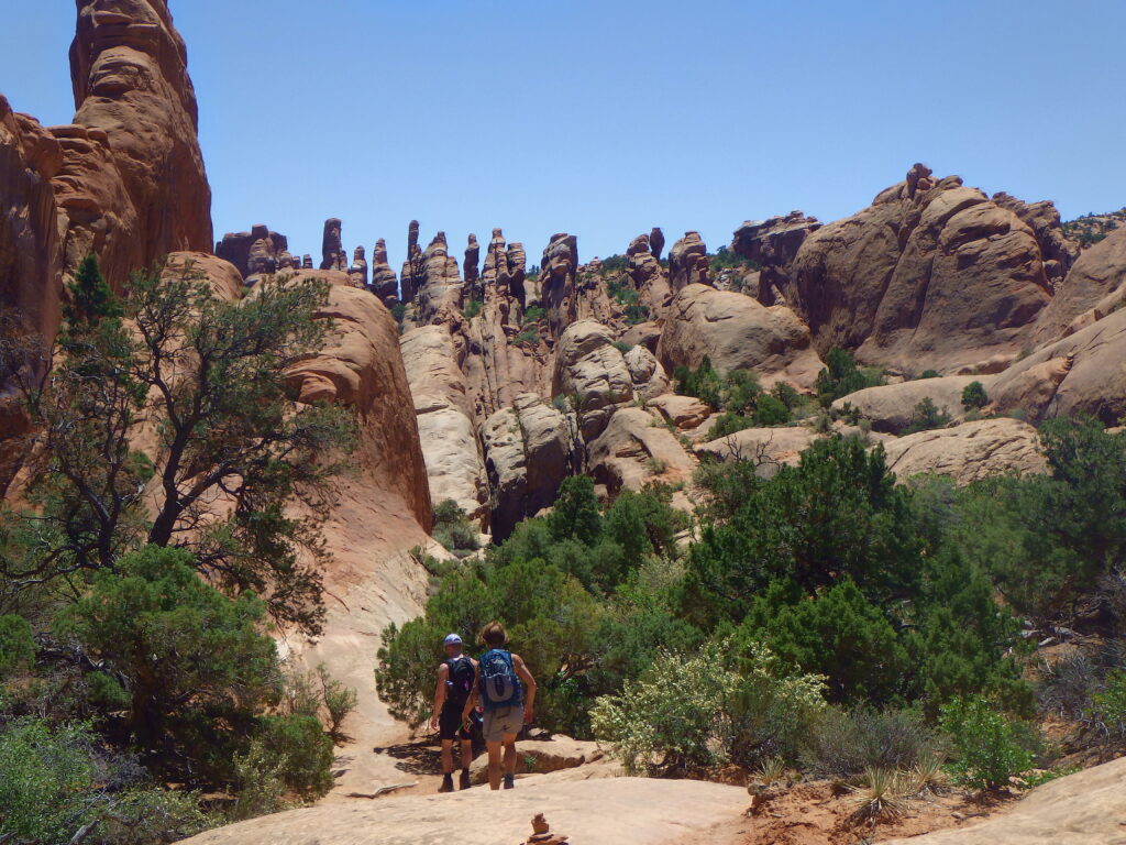
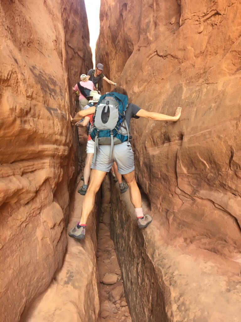
Day 3 required us to be in Arches National Park at a specific time as we had reservations for the Fiery Furnace ranger-led hike. The Fiery Furnace is a labyrinth of sandstone pillars which gets its name not from the heat, but from the observation that the area appears to be in flames in the late afternoon if viewed from a distance. This area is actually one of the coolest (temperature wise) areas in the park, as there is a lot of shade on the hike. You can only enter this area on a ranger-led tour or by obtaining a personal hiking permit, both of which sell out extremely fast. I believe they only allow 25 people a day to enter the area. You must be somewhat fit to go on this hike, as you have to contort your body into some pretty strange positions in order to navigate through the spires and fins. I believe the hike lasted about 2 hours and we enjoyed it.
Afterwards, we stopped at the Windows Section of the park where we hiked the two loop trails to see the North & South Windows and Turret Arch and a short out and back trail to see Double Arch, made famous in the movie Indiana Jones and the Last Crusade. This area of the park has the highest concentration of arches. Before exiting the park in the afternoon, we stopped in another hiking area known as Park Avenue. Named as such because the sheer walls of the canyon resemble skyscrapers along a city street. There is a series of steep switchbacks down into the canyon before the trail levels off and becomes quite easy (but HOT – there is no shade).
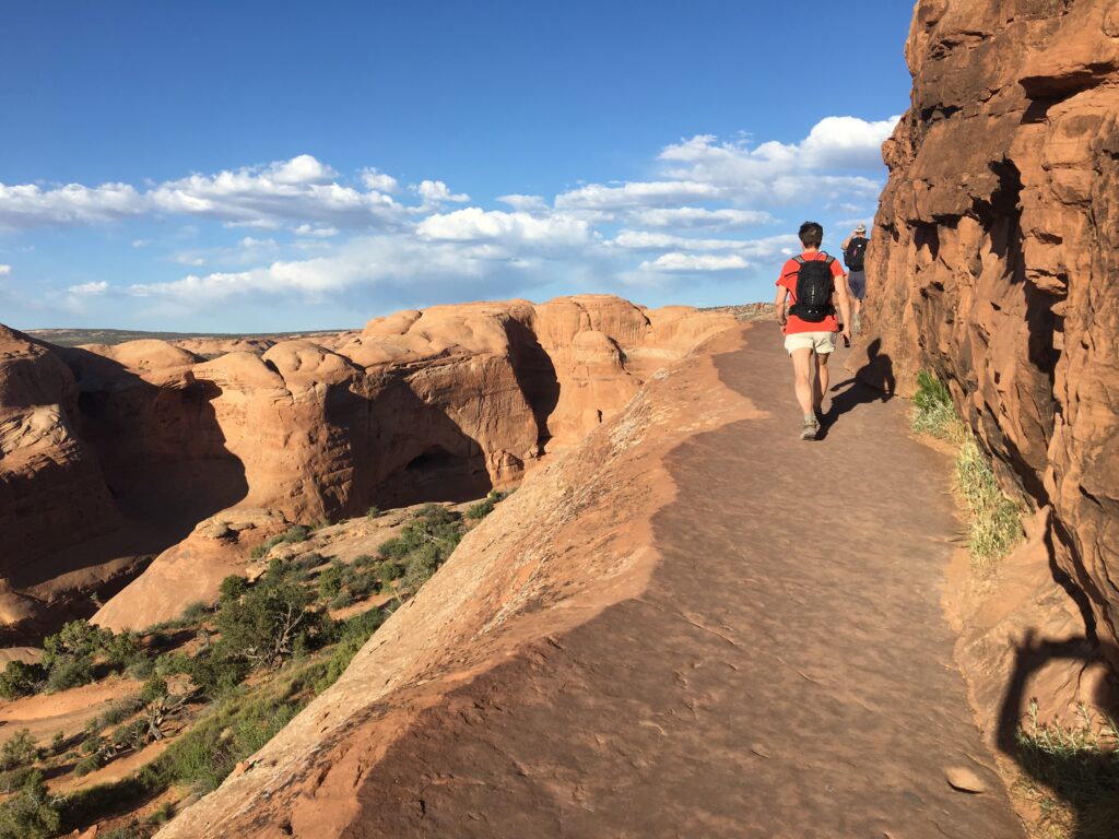
Instead of returning to the condo for dinner, we ate in downtown Moab at “Eddie McStiffs”. I don’t remember much about the food, I just remember we loved the air conditioning. After resting for a while in the restaurant (& charging our devices), we headed back into the park for our final hike of the day to Delicate Arch. This is the icon of the park and is also pictured on the Utah license plate. The hike to the arch is a steady 1.5 mile uphill climb. In the last quarter mile of the hike before reaching the arch there is a rather exposed area, just a warning for those people afraid of heights. The arch actually sits on a “bowl” and it was rather windy while we were there. My son who is afraid of heights had no problem with the exposed section of the trail but did have a problem with the wind and the “bowl”. Lodging: VRBO condo in Moab
Day 4 – Activities & Adventure in Moab
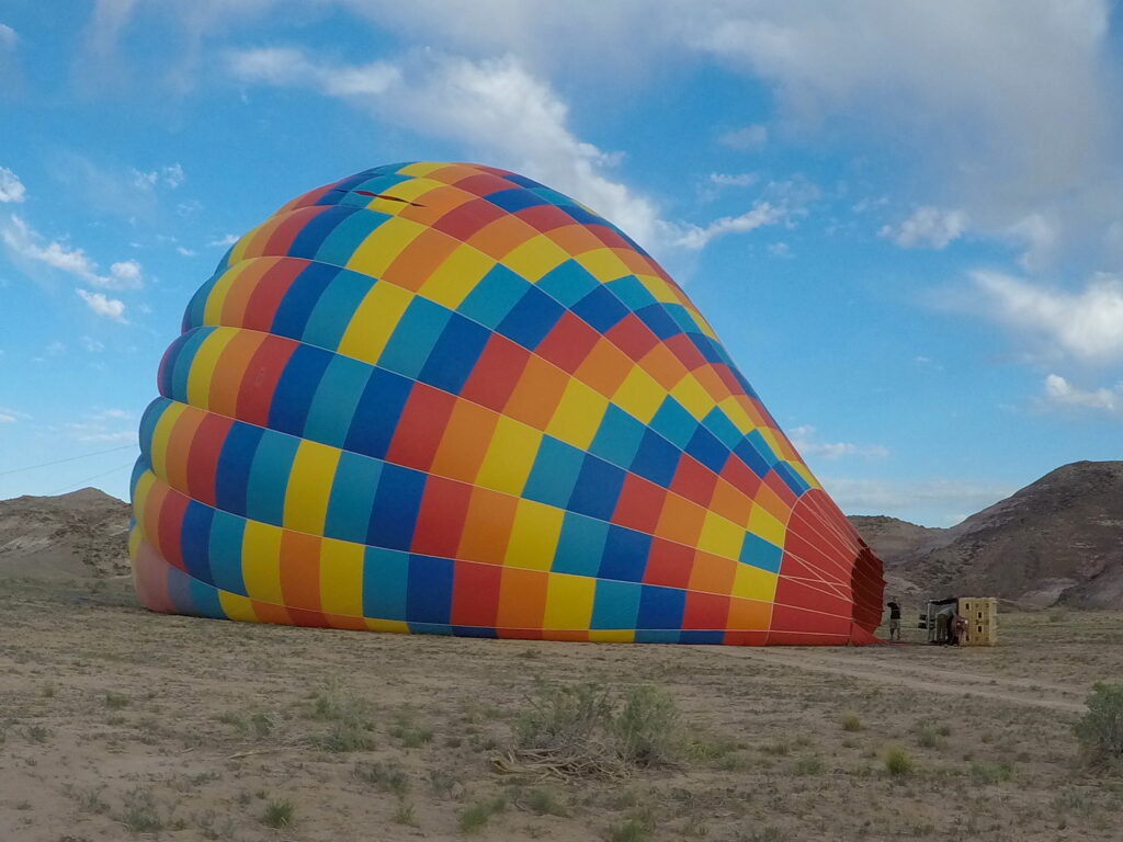
Another early morning wake up, at least for me. While Ryan & Sandy slept in, I got up before sunrise and headed out to the rendezvous point for my hot air balloon trip with Canyonlands Ballooning. There were 14 of us in the group including the pilot. We were driven out to a launching site where we were fortunate to watch them inflate the colorful balloon. The basket was much larger than I thought it would be and all fourteen of us fit into 4 different compartments comfortably. It was quite warm in the balloon due to the burners being fired every so often. It was an indescribable feeling just soaring above the ground. The flight was so peaceful and quiet, except for when the burners were fired. While they prepped us for a bumpy landing with the possibility of tipping over, we landed without a hitch. A celebratory champagne toast followed which is apparently customary with balloon rides. Folklore has it that balloonist, after landing in a farmer’s field, would offer champagne to the farmers who were normally terrified at seeing a strange object fall from the sky. It was interesting watching them pack the balloon back up.
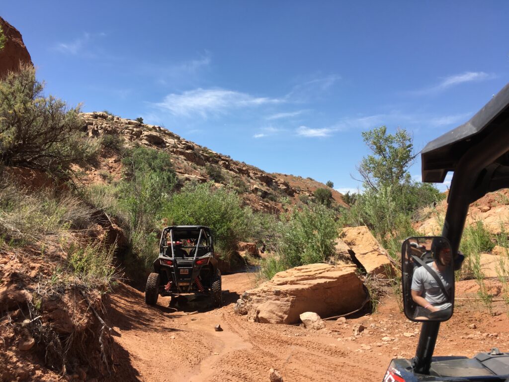
In the early afternoon, Ryan, Sandy, and I met back out at the same rendezvous point for the balloon trip, but this time it was for a RAZOR tour with High Point Hummer and ATV tours. The RAZORs are like mini-dune buggies. Ryan and Sandy shared the driving, I chose to sit that out and was quite content as a passenger. Make sure you bring a bandana to cover your face, even with helmets on, we were covered in red dust. The tour was a lot of fun, although I believe Ryan would have preferred to have been on his own instead of with a tour, as we were limited to how fast we could go, based on the vehicle in front of us (& we had a pokey puppy in front of us). We made a few stops and the guides pointed out interesting rock formations. You can rent the RAZORS on your own and explore and Ryan vows to do that on a future trip.
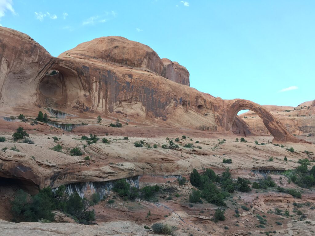
Dinner was back at the condo where we grilled up some chicken. Our last activity for the day was an evening hike to Corona and Bow Tie Arch. These two arches are not in a national park. The hike is 3 miles roundtrip and traverses over open slickrock offering spectacular views of the two arches. Dogs are allowed on this trail (they are not allowed on trails in the national park). This was Ryan’s favorite hike in the Moab area. We passed a lot of rock climbers on the drive out to the hike. Lodging: VRBO condo in Moab
Day 5 – Canyonlands National Park & Dead Horse State Park
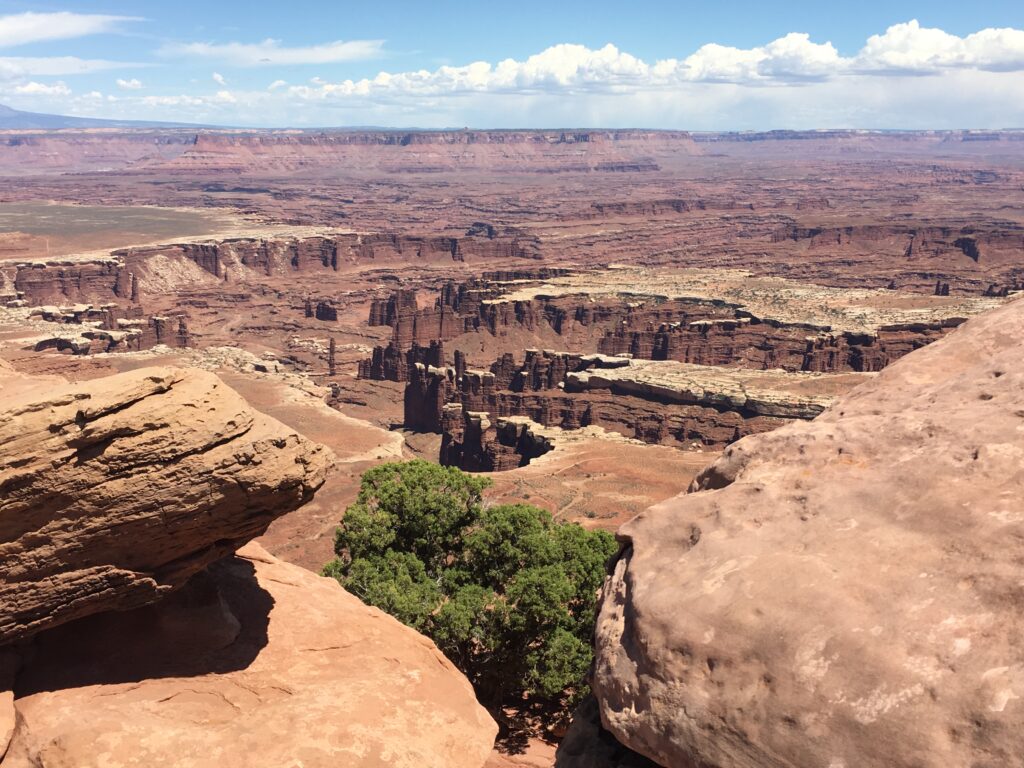
On this day we visited the most popular section of Canyonlands National Park known as Island in the Sky. There are 3 sections to Canyonlands National Park: the Island in the Sky, the Needles, and the Maze. They are listed in order of most visited to least visited. In order to visit the Maze, you must be totally self sufficient (bringing in all food, water, and camping supplies). There are a few long day hikes in the Needles section that I would love to do when I return to Moab in the future. The entrance to the Island in the Sky section is approximately a 45 minute drive from the center of Moab. Pay attention while driving, as you pass thru a lot of open range highway, which means cattle can cross the road whenever they want and we did come across quite a few cows.
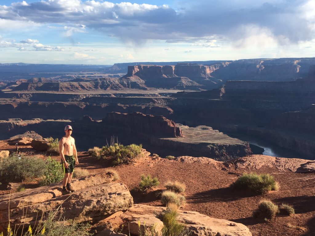
We drove all of the paved roads in the Island in the Sky section, stopping at all of the viewpoints. We hiked 4 different short trails: Mesa Arch, Grandview Point, Upheaval Dome, and Aztec Butte. All of these trails were relatively easy, with little elevation gain, except for Aztec Butte which was quite steep. They all afforded beautiful views (Grandpoint being my favorite) and Aztec Butte took you past some Native American granaries. Mesa Arch is an extremely popular area and is the icon of the park. It is particularly busy with photographers at sunrise. We visited late morning and there was a line for taking photos with the iconic arch in the background. We had a late afternoon picnic lunch and then drove over to Deadhorse State Park for sunset. Lodging: VRBO condo in Moab
Day 6 – Goblin Valley State Park & Capitol Reef National Park
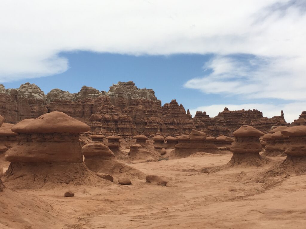
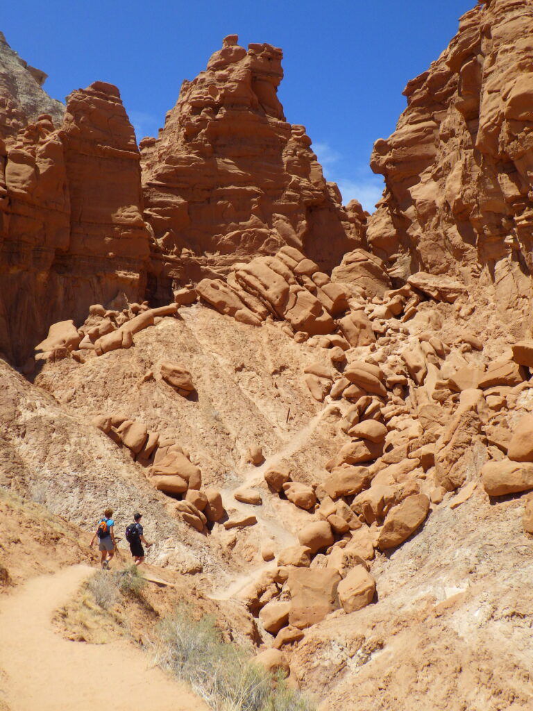
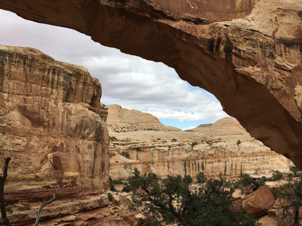
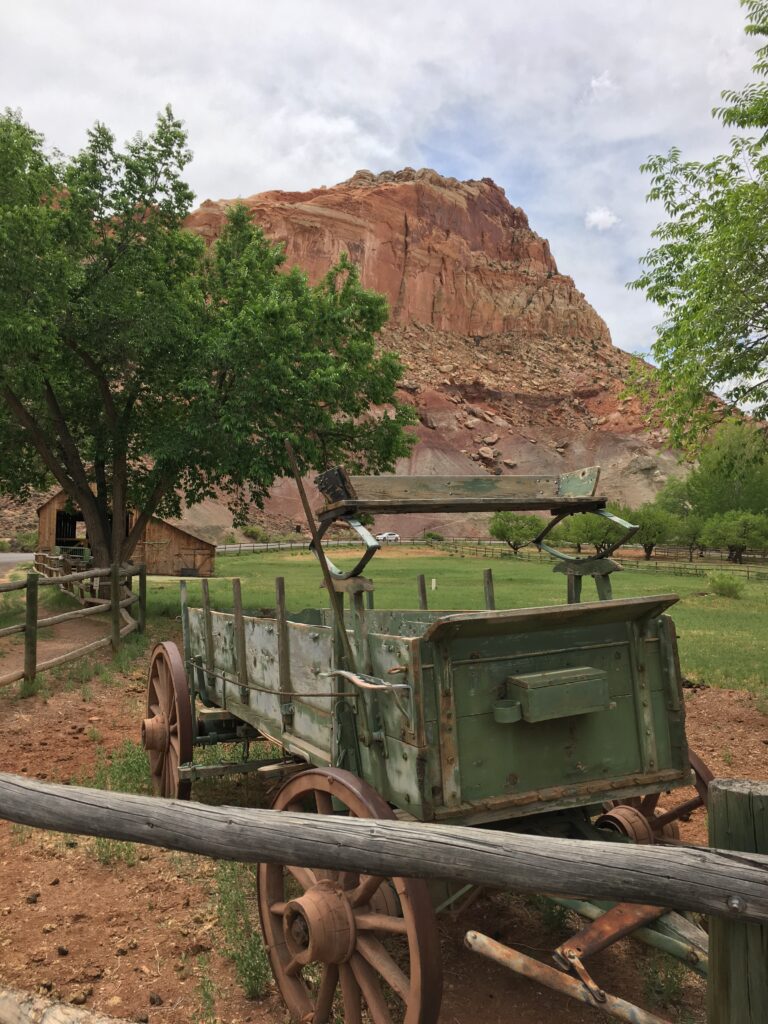
It was time to say goodbye to Moab today. After a quick stop in downtown Moab for some souvenir shopping, we headed out of Moab towards Capitol Reef National Park. The drive would take approximately 2.75 hours but we broke up the trip by stopping at Goblin Valley State Park. Our original intent was to also stop at Wild Horse Canyon and hike the slot canyon, however there was a threat of thunderstorms. Hiking in slot canyons when there is the threat of rain is not safe. We walked amongst the “goblins” (sandstone deposits, sculpted by wind and water) and hiked to the Goblin’s Lair. It was a pretty strenuous hike because a lot of it was walking in sand, and there was a very steep section at the end leading up to the entrance of the Lair. You then must climb down into the cave. I was a little worried that we would have trouble getting back out, but it turned out to be easier to get out than it was to get in. It never did rain while we were in Goblin Valley, the rain held off until we reached Capitol Reef National Park. It only lasted a short while and then the sun came out. We spent the afternoon visiting the petroglyphs, the Fruita Schoolhouse, and the Goosenecks Overlook. We also hiked the 1.8 mile Hickman Bridge Trail and the short Sunset Point Trail. Dinner was at Red Rock Patio, a sports bar in Torrey. Lodging: Austin’s Chuckwagon in Torrey
Day 7 – Capitol Reef National Park and the Route 12 Scenic Byway
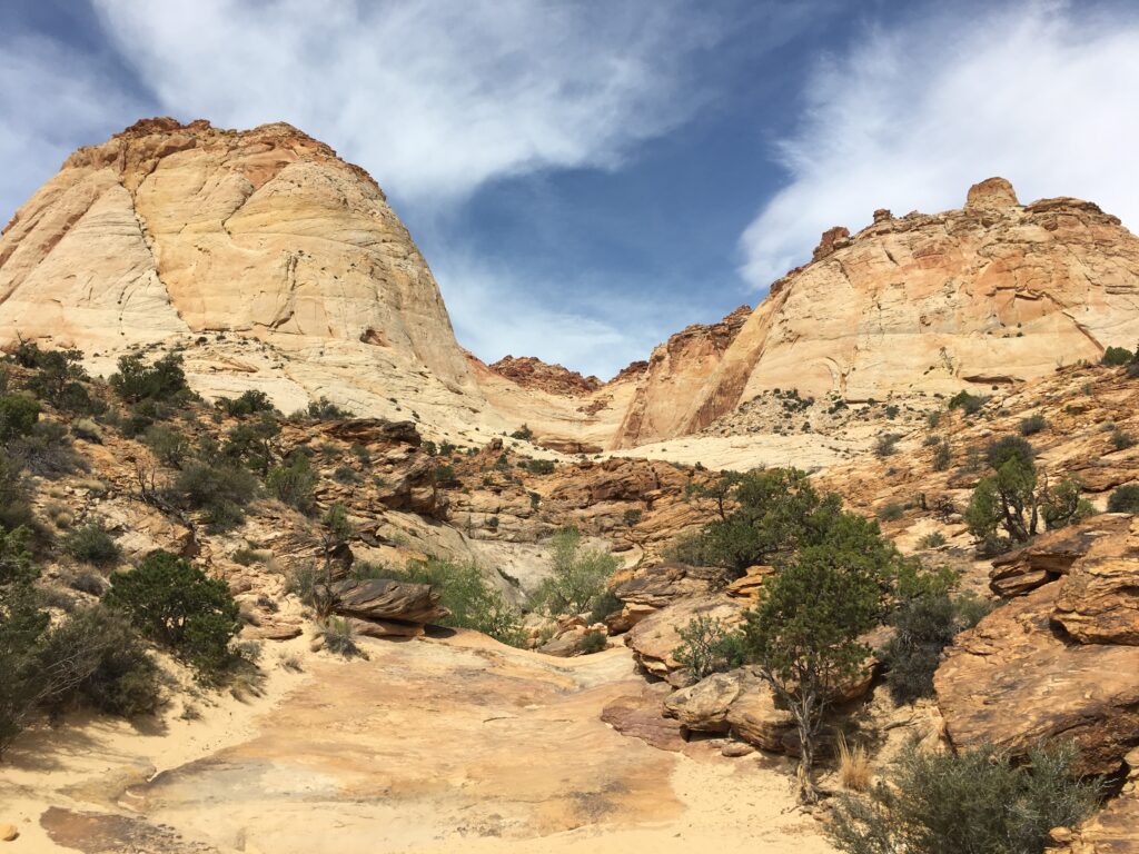
Day 7 started with a check-in at the Capitol Reef Visitor Center. We needed to check the status of the Capitol Gorge Trail because it had been closed the day before due to the potential for flash flooding. As luck would have it, the trail was open today. We drove the 7 mile Scenic Drive to the end and then continued for another 2.4 miles on Capitol Gorge Road. This was a dirt/gravel road that winded thru the canyon, it was like a slot canyon for cars. The Capitol Gorge Trail was a beautiful trail that followed the pioneer trail thru the gorge. Along the way, you pass petroglyphs and a historic pioneer registry. After the hike we stopped at the Gifford House (famous for their fruit pies) to see the horses. We were a month too early or we could have picked our own fresh fruit in the orchards.
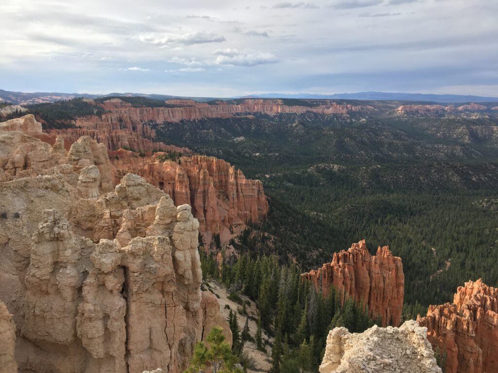
The afternoon was spent driving along the All American Road (Scenic Byway Route 12) to Bryce Canyon National Park. We traveled the entire Scenic Byway over the next 2 days, 111 miles on Day 7 to Bryce Canyon National Park and then 13 miles on Day 8 as we headed to Zion National Park. We made frequent stops and a few detours. Our stops included multiple overlooks and we had a picnic lunch at the Anasazi State Park Museum. From Boulder we took a slight detour off Route 12 and headed east on the Burr Trail. The Burr trail is a 66 mile long scenic road that connects the town of Boulder to the Bullfrog Marina on Lake Powell. Only the first 30 miles are paved. We drove the first 20 miles which included a series of switchbacks that dropped 800 feet in a mile. Along the Burr Trail, in Long Canyon, we found a pull-off for “Singing Canyon”. This location is not marked but I had read about it on Trip Advisor. It was a short walk into a very narrow slot canyon that had an awesome echo. Back on Route 12, we continued on to the town of Escalante but not before first driving over “The Hogback”, a short stretch of the highway that is only 100 feet wide with drops of over 800 feet on both sides. Just after passing thru Escalante we stopped at the Kiva Koffehouse for an afternoon snack. It had a great vibe. We reached our final destination, Bryce Canyon National Park Lodge around 5pm. While on the pricier side, with few amenities (no wifi or television in the rooms), the lodge is located within walking distance to the rim of the amphitheater. Bryce Canyon is not actually a canyon. A canyon is formed by flowing water and there is no water flowing in Bryce. The “hoodoos” or sandstone spires that Bryce is famous for were formed by wind and a freeze-thaw phenomenon and the area is geologically referred to as an amphitheater. The rim is a great location for star gazing and sunrise photography. After a quick check in, we got back in the car and drove the 18 mile scenic drive to Rainbow/Yovimpa Point, the furthest viewpoint and highest elevation in the park. There are views of the Bryce Amphitheater on the left and pine forests and mountains on the right. A lot of the forests had been destroyed by recent forest fires and the dwarf mistletoe parasite. At Yovimpa Point we hiked the 1.0 mile Bristlecone Pine Loop which offered spectacular views and also had some very steep drop-offs. Dinner that night was at the Bryce Canyon Lodge Restaurant and featured elk chili as our appetizer. Lodging: Bryce Canyon Lodge in Bryce Canyon National Park
Day 8 – Bryce Canyon National Park & Zion National Park
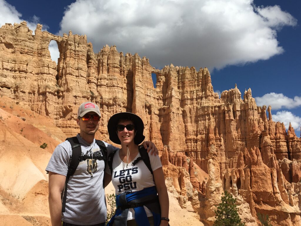
Since I had previously visited Bryce Canyon, I did not get up for sunrise. That being said, if it is your first time visiting, you should definitely see the sunrise over the amphitheater. Make sure you bundle up to catch the sunrise. On my previous visit, the temperature was 84F at the rim, the afternoon before, and was 27F at sunrise. We spent the morning hiking what is known as “The Figure 8 Combination” which is a combination of the popular Navajo/Queens Garden Loop Trail and the Peekaboo Trail. It was a 6.4 mile strenuous hike. The Peekaboo Trail is also a horse trail, so be careful where you step– we renamed the trail the “Peekapoo Trail”. The Peekaboo Trail is the more strenuous part of the trail and was much less crowded. The highlight of the trail was the Wall of Windows.
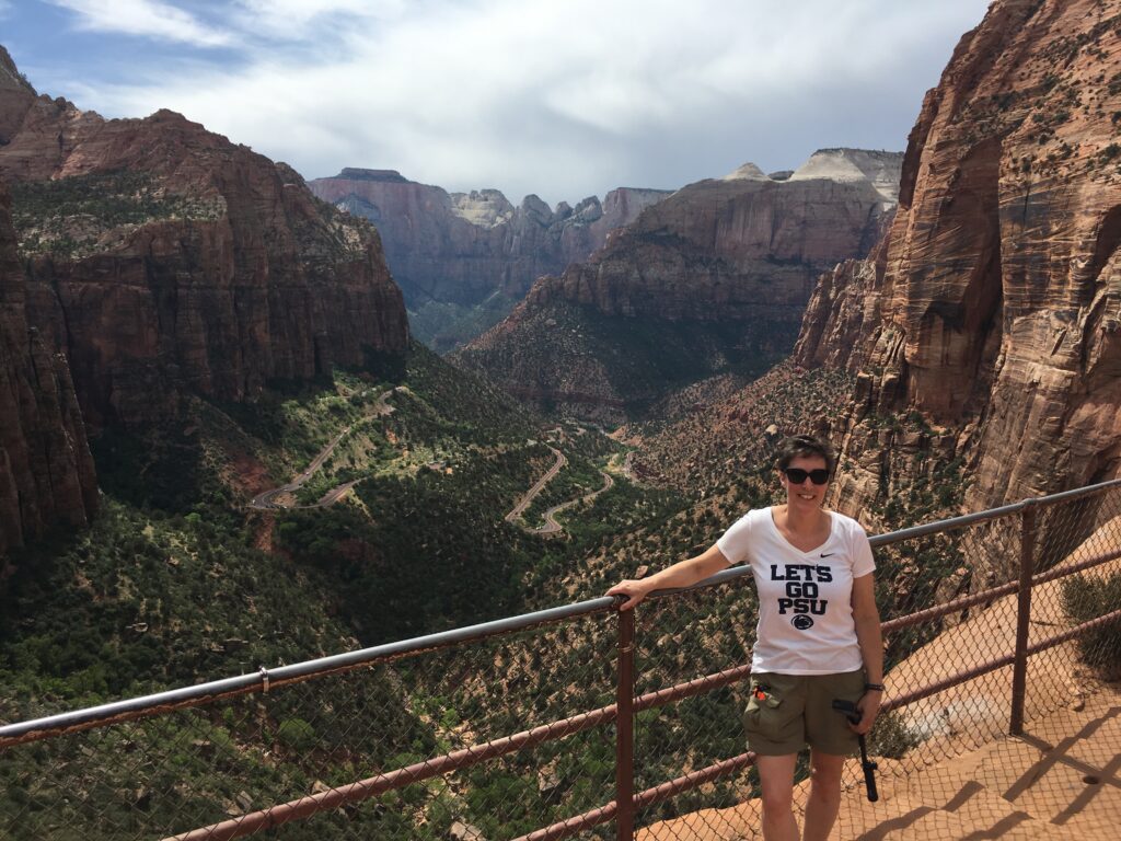
We left Bryce Canyon National Park and rejoined The All American Road on our way to Zion National Park, while passing thru Red Canyon. After passing thru the East Entrance to Zion National Park, we pulled over just before the entrance to the Zion-Mount Carmel Tunnel so we could hike the Canyon Overlook Trail. This is a short, relatively easy hike to an incredible viewpoint of the canyon. Ryan chose to stay with the car because we couldn’t really find a legitimate parking place and the trail does have some extremely exposed sections that he was not looking forward to. I really enjoyed the solo hike. The Zion-Mount Carmel Tunnel was considered an engineering marvel at the time it was constructed in 1930. Traffic thru the tunnel is monitored by rangers and if a large vehicle is passing thru, traffic will be stopped in the opposite direction at the entrance to the tunnel. When driving east to west thru the tunnel, you are treated to one of the most beautiful views I have witnessed as you exit the tunnel. Before checking in to our bed & breakfast, we stopped at Zion Adventures to pickup our canyoneering gear for our hike in The Narrows the following day. I highly recommend renting this gear (neoprene socks, canyoneering boots, & a large wooden walking staff). They also make you watch a movie regarding safety in The Narrows. Dinner was at The Whiptail Grill, followed by dessert at Hoodoos Ice Cream Parlor. Lodging: Zion Canyon Bed & Breakfast, Springdale
Day 9 – Hiking the Narrows in Zion National Park
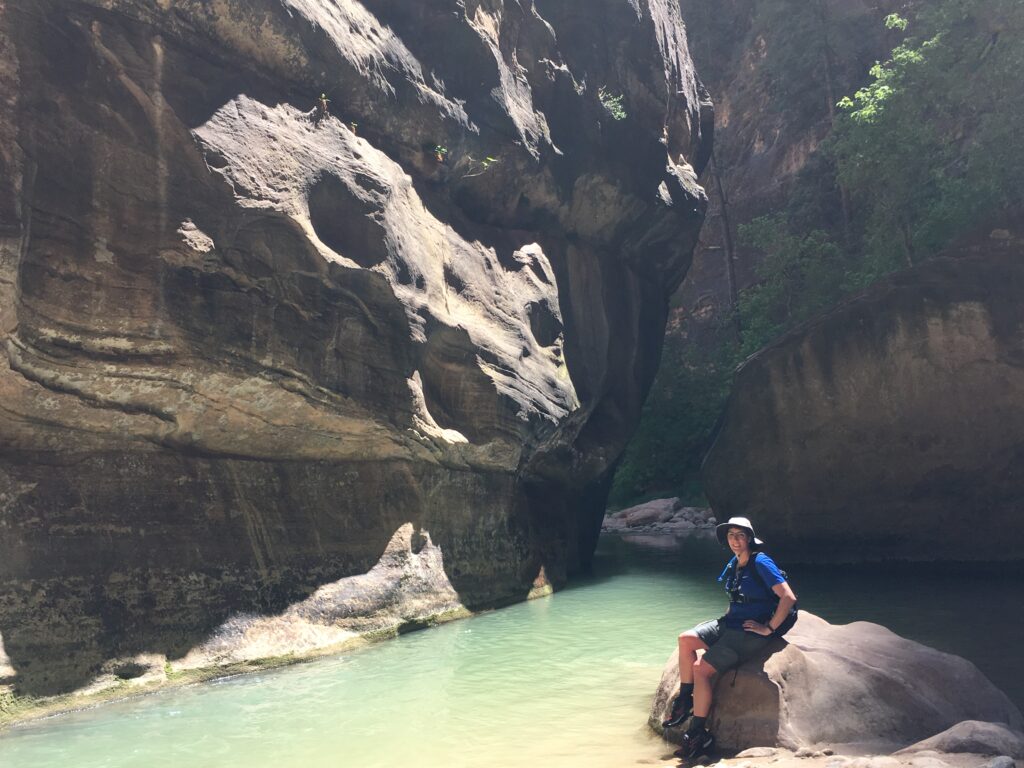
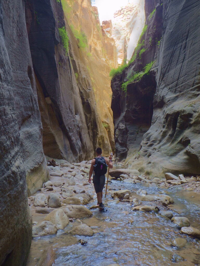
We tried to get an early start as we wanted to spend as much time in the canyon as we could. We walked to a bus stop from our lodging and took a local Springdale bus to the entrance of the park. Parking is a nightmare in Springdale. We then had to catch a national park shuttle that travels the length of the Zion Scenic Drive. From March thru October, this 8 mile road is closed to private vehicles and the only way to access trailheads and attractions in the main canyon area is via the shuttle, walking, or biking. The queue for the shuttle can be hours long during peak season and peak hours, fortunately we were there quite early and only waited 15 minutes. The trailhead for The Narrows is located at the last shuttle stop, the Temple of Sinawava, approximately a 40 minute shuttle ride. The trail starts with the Riverside Walk which is a paved walkway along the Virgin River. Once the pavement ended it was time to put on our canyoneering boots and get wet. The trail is the river! The Narrows Trail closes when the flow rate of the river exceeds 150cubic feet/sec (usually during the spring thaw or after storms) or if there is a flash flood warning. The flow rate was only 39 cubic feet/sec when we hiked and even that was tiring to hike in. The water is extremely cold and we were very appreciative of our neoprene socks. The water levels ranged from mid-calf to chest deep. The hike has been described as like “walking on greased bowling balls”. A walking stick is definitely needed. We hiked just shy of Big Springs (which is the end of the bottom up route) before turning around. We chose this option because the river goes thru what is known as “Wall Street”, a section of the canyon where the canyon walls are only 22 feet apart and tower 1,500 feet above you. We also ventured a short way up the Orderville Canyon spur on our return trip. This remains as one of our all time favorite hikes. You can also hike what is known as the “top down route”, however you are required to have a permit to do this, you need canyoneering equipment (ropes/helmets), and most people make it a 2 day trip or a very, very long one day venture. A well deserved dinner was eaten at Oscar’s Café that evening. Lodging: Zion Canyon Bed & Breakfast, Springdale
Day 10 – Cedar Breaks National Monument & Salt Lake City
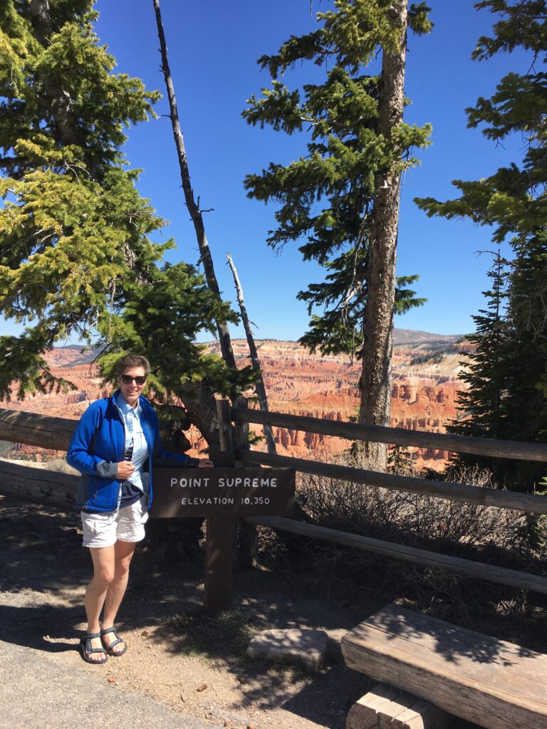
Today, we had 12 hours to get back to Salt Lake City for our red-eye flight back to the East Coast. The drive from Springdale to Salt Lake City usually takes 4.5 hours so we had plenty of time to explore. We detoured 45 minutes off I-15 to visit Cedar Breaks National Monument which looked like a miniature version of Bryce Canyon. This was the highest elevation we reached on our trip at 10,435 ft. The temperature when we left Sprindale was 80F and when we reached Cedar Breaks it was 58F, only 2 hours away.
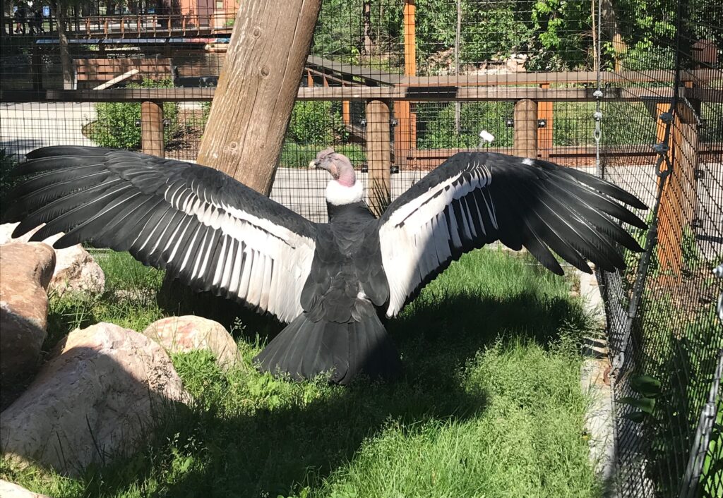
We arrived in Salt Lake City at 3pm. We stopped at Tracy Aviary, the oldest aviary in the United States. The crown jewel of the aviary is the “King of the Andes” exhibit which features Andy, an Andean Condor. Ryan was permitted to enter Andy’s enclosure to take a photo. The staff was just wonderful here. We now follow Andy on his Facebook page “Andy N Condor”. He was 59 years old at the time of our visit. Our last stop of the day was Temple Square in downtown Salt Lake City. We took a 35 minute tour of the area with two Mormon missionary girls. We visited the Tabernacle, The Assembly Hall, and the South Visitor Center where there is a model of the inside of the Temple (only Mormons are allowed to enter the Temple). We also stopped at the Family History Library (www.ancestry.com) and participated in a bunch of fun activities using ipads and large TV screens. Dinner was at The Cheesecake Factory for our red-eye flight home.
Final thoughts
- Distance driven: 1400 miles
- Scenic Byways driven: 11 (Rte 128 Dinosaur Diamond Prehistoric Highway National Scenic Byway, Rte 313 Dead Horse Mesa Scenic Byway, Rte 279 Potash -Lower Colorado River Scenic Byway, Rte 6 Energy Loop: Huntingdon & Eccles Canyon National Scenic Byway, Rte 24 Capitol Reef Country Scenic Byway, Scenic Byway 12: All American Road, Rte 89 Mount Carmel Scenic Byway, Rte 9 Zion Park Scenic Byway, Rte 143 Patchwork Parkway National Scenic Byway, Rte 148 Cedar Breaks Scenic Byway, Markagunt High Plateau Scenic Byway)
- National Parks visited: 5 (Arches National Park, Canyonlands National Park, Capitol Reef National Park, Bryce Canyon National Park, Zion National Park)
- National Monuments visited: 1 (Cedar Breaks National Monument)
- Utah State Parks visited: 3 (Goblin Valley State Park, Dead Horse Point State Park, Anasazi State Park)
