Day 1 – Travel to Port Angeles, Washington
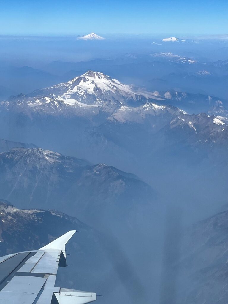
We left the East Coast very early in the morning and after a 1 hour layover in New York City, we landed in Seattle. Flying over the Cascade Mountain Range, we could see smoke from area fires. After a delay picking up our rental car (apparently the rental car company knew “how to take the reservation, they just don’t know how to “hold” the reservation), we headed towards Port Angeles, Washington on the Olympic Peninsula. There are two routes that can be taken to get to Port Angeles, the shorter driving route involves taking a ferry. Time-wise, they are about the same. Traffic is pretty bad in Tacoma and it took us about 3 hours to reach Port Angeles, without taking the ferry. We drove over the famous Tacoma Narrows Bridge (formerly known as “Gallopin Gerty”). We arrived at the Aircrest Motel in Port Angeles. The motel didn’t look so nice from the outside (pretty outdated) and probably wasn’t in the best part of town, but the inside was clean, the staff was friendly, the beds were comfortable, great water pressure, and it was quiet at night except for the occasional siren (the hospital was about a block away). After checking in, we drove to the local Walmart where we stocked up on breakfast and lunch supplies for the next few days. We also purchased a pair of cheap hiking poles (best investment of the trip) since we were traveling with no checked baggage, we were unable to bring our own hiking poles. We had a bad experience at Gordy’s Pizza and Pasta for dinner so we left and ate some snacks back in our room. Not the best start to our trip but we were excited.
Day 2 – Hurricane Ridge, Sol duc Falls, Lake Crescent, Olympic National Park
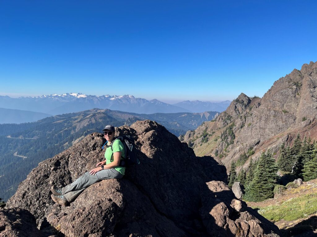
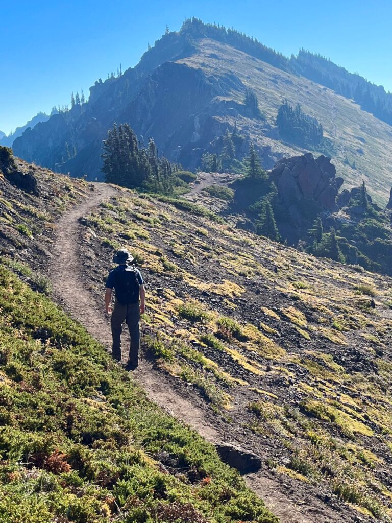
We got an early start (7:45am) this morning, since we were still on East Coast time. We arrived at the Heart O’ the Hills Entrance to Olympic National Park and took the obligatory photo at the welcome sign. We then continued up Hurricane Ridge Road towards the Hurricane Ridge Visitor Center. Hurricane Ridge Road is a winding 17-mile road that gives awesome views of the Olympic Mountains. About 2 miles from the Visitor Center, we pulled off in a small parking area to access the Switchback Trail to Klahane Ridge. The Switchback Trail climbs 1600 ft in 1.5 miles to reach Klahane Ridge. It is a very, very steep trail, but offers gorgeous views. Once on the ridge, we hiked another 0.65 miles out and back along the ridge before returning back down the Switchback Trail. This trail really did a number on our knees. We continued driving on Hurricane Ridge Road to the Visitor Center where we took in more gorgeous views, watched a 20-minute movie, and ate our picnic lunch on the observation patio with 2 older women who were from Bellevue, WA. The views of the mountains had a hazy appearance (like the Great Smokies), there were no fires on the Olympic Peninsula, so we weren’t sure where the smoke was coming from. We were so glad that we were able to travel up to Hurricane Ridge, the road was going to be closed the following week for a month for construction. On our drive back down Hurricane Ridge Rd, the line at the entrance station was now miles long.
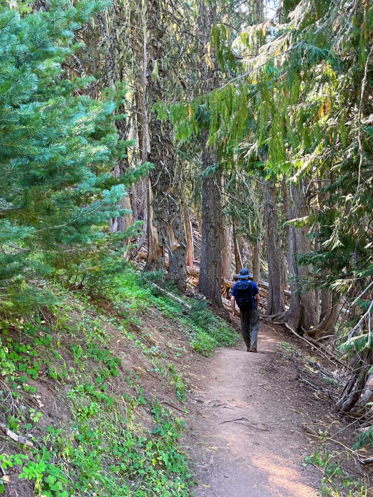
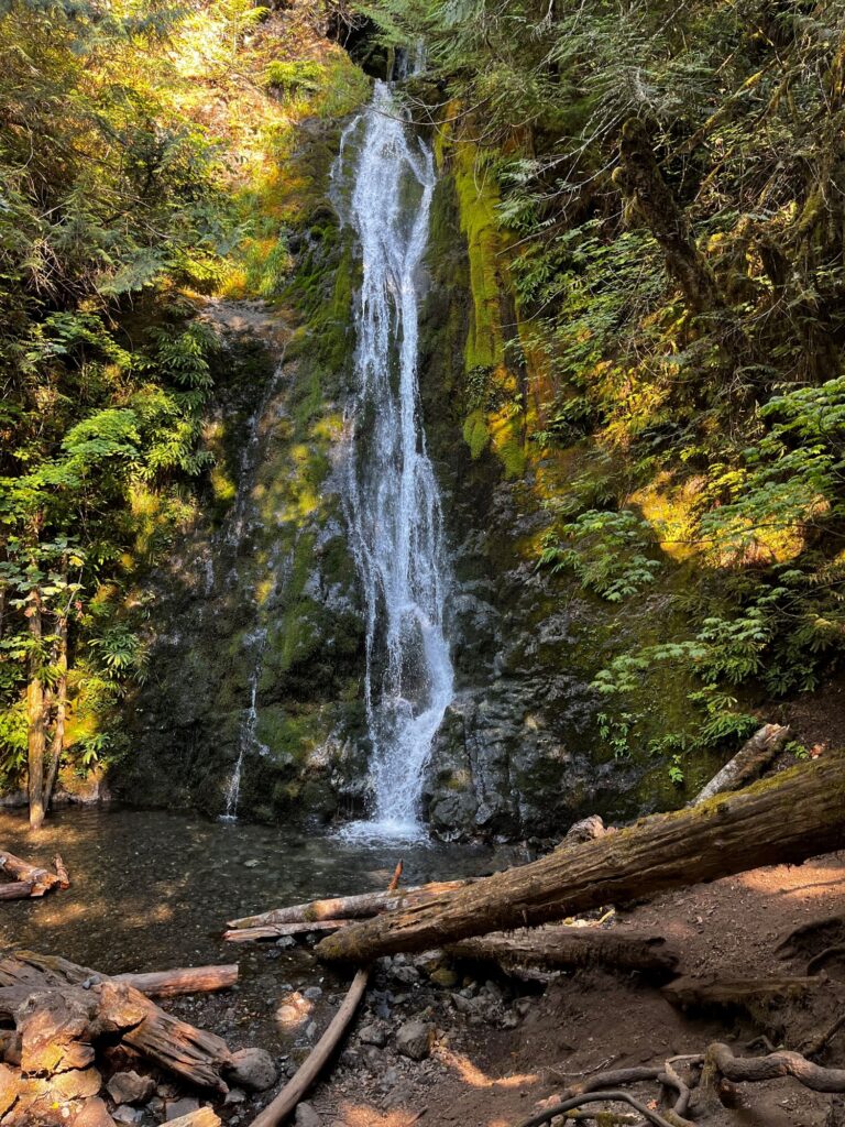
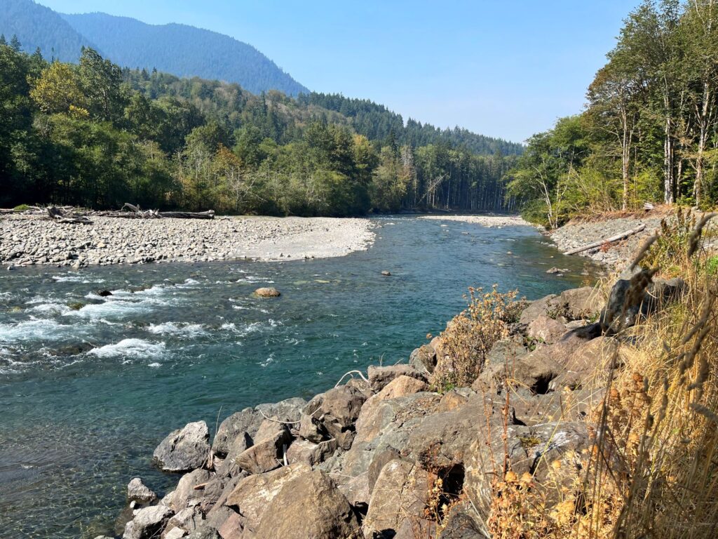
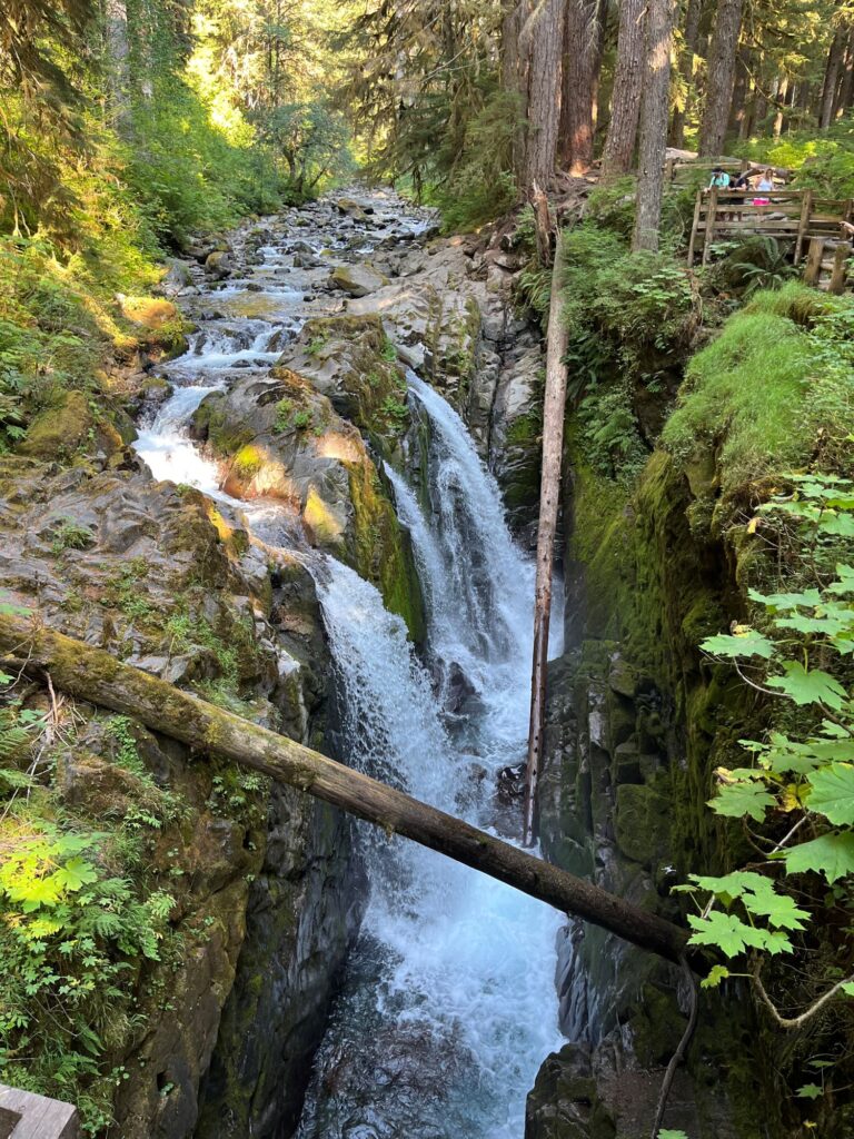
From Hurricane Ridge, we drove west on Route 101 towards the Elwha River Valley. We made a quick stop to check out Madison Falls, which was a beautiful waterfall less than a quarter mile from the parking lot. We continued west on Route 101 beside Lake Crescent to Sol Duc Hot Springs Rd. Turning left, we continued 14 miles on Sol Duc Hot Springs Rd to the end of the road where there is a parking lot for the trail. We passed the Sol Duc Hot Springs Resort and campground on the way. The trail to the falls is a short 0.8 mile (one way) from the parking lot, hiking thru a dense, lush forest. It felt like we were in Jurassic Park.
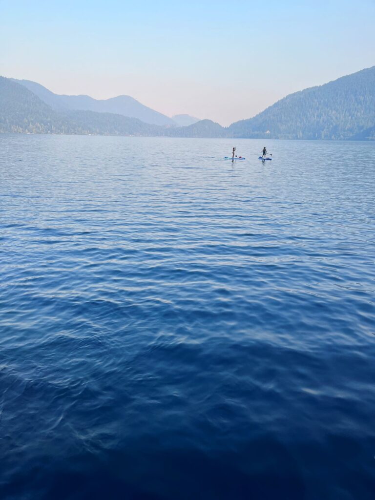
After checking out the falls from quite a few different vantage points, we drove back to Route 101 and headed back east towards Port Angeles. We would make one final stop for the day and were deciding between the Devil’s Punchbowl at Lake Crescent or Marymere Falls. We decided on the Devil’s Punchbowl, which ended up being our least favorite site on the trip. Devil’s Punchbowl is located on the northeast side of Lake Crescent and is accessed by the Spruce Railroad Trail. This trail is a paved trail that is used by both hikers and bikers, it actually looks like a nice trail to bike. It is 10 miles long and runs along the north shore of the lake. Just over 1 mile into the hike you come across a tunnel and then a short trail that leads to the Devil’s Punchbowl. There is a bridge over the punchbowl and the water there is crystal clear and a beautiful shade of blue. The problem was, it was quite a warm day, and the area was inundated with swimmers and boaters, taking away from the beauty of the natural area.
We returned back to our motel and decided to go into the harbor area of Port Angeles, hoping we would have better luck tonight with a dinner location. We parked along the main street and came across the Hook and Line Pub. It was perfect. We sat at the bar and were served quickly. Great way to end a wonderful day.
Day 3 – Cape Flattery, Hoh Rainforest, Olympic National Park
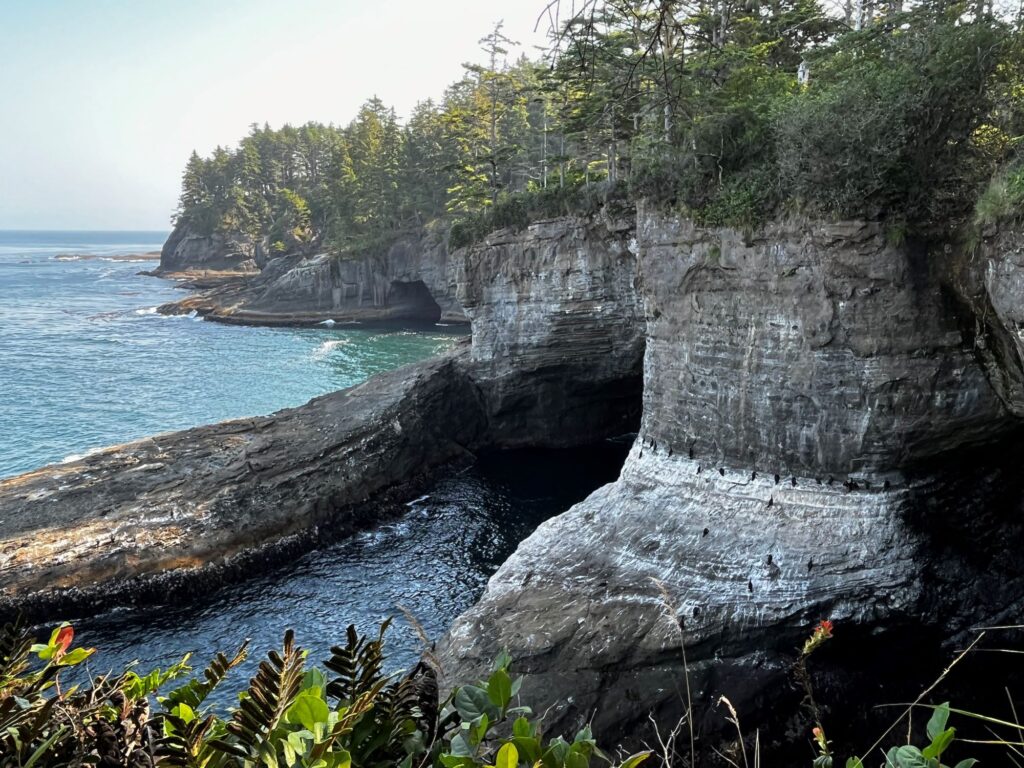
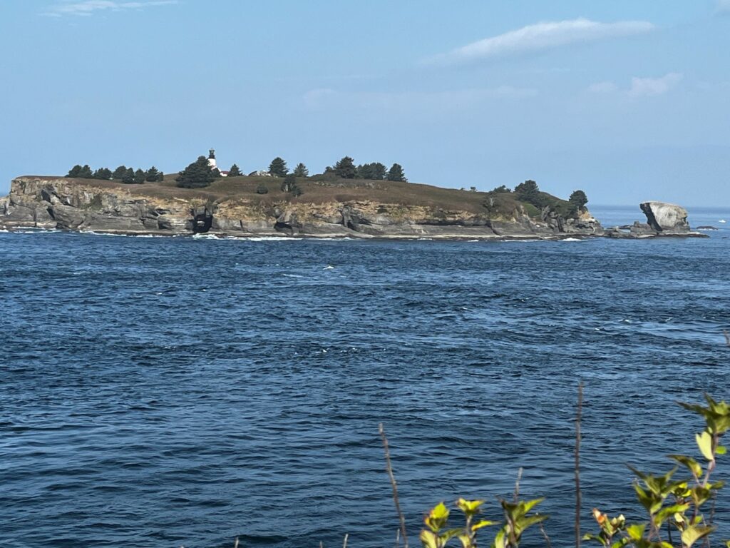
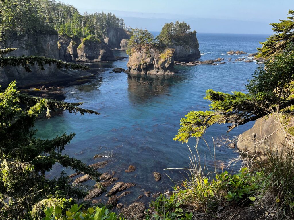
Another early start to the day. We checked out of the Aircrest Motel around 8am and started our drive west on Route 101 towards Cape Flattery (the most northwestern point in the contiguous USA). From Route 101 we turned onto Route 112, the Strait of Juan de Fuca Scenic Byway. This roadway was extremely curvy, not for those who get carsick. It took us about 2 hours to reach the Makah reservation at Neah Bay. We had to purchase a $10 Makah day use recreation pass. I bought ours at the Makah Cultural and Research Center. We continued another 8 miles on Cape Flattery Rd to the parking area. It was a short 1.5-mile round trip hike out to the viewing area, some of this being on a boardwalk. There are three different turnoffs with viewing areas, all offering spectacular views. The viewing area at the end reveals views of Tatoosh Island with its lighthouse straight ahead, the rocks of Cape Flattery reef to the north, and the Kessiso Rocks to the south.
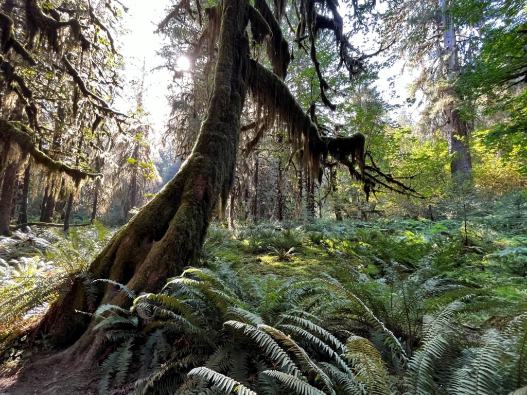
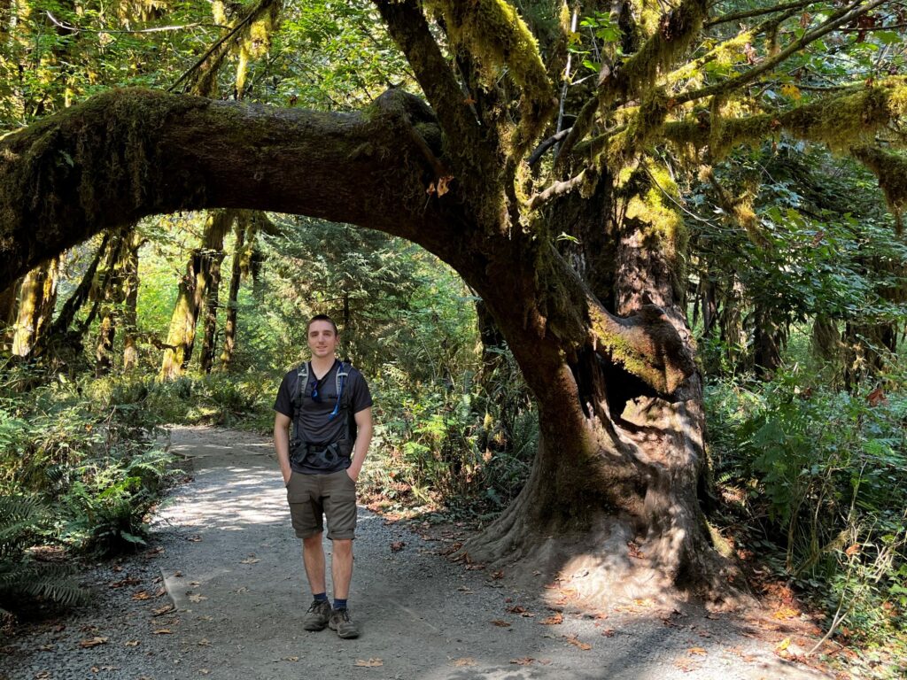
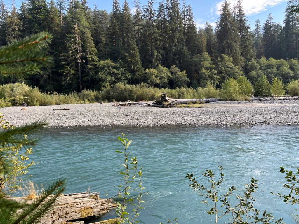
After leaving Cape Flattery, our next destination was the Hoh Rain Forest. There is no easy way to get around the Olympic Peninsula, there is no road that cuts thru the park. Most sites are accessed from Route 101 and are like spokes into the center of the park. To get to the Hoh Rainforest we had to do some backtracking along Route 112 east and then we cut across the mountains on Route 113 south. Back on Route 101 east, we stopped at the Lake Pleasant County Park for a picnic lunch. We continued south on Route 101 thru Forks (where we would be staying the next 2 nights) to Upper Hoh Rd. It was midafternoon by this time and there was a line to get into the rainforest. We had heard that waits could be up to 2 hours, but we were stopped in an area where there was a sign indicating that we had a 45-minute wait from that point. Once the parking lot fills, the rangers go to a one car out, one car in system. It actually was quite nice because we waited exactly 45 minutes and when we reached the parking lot there were quite a few empty spaces. We hiked the short Hall of Mosses loop trail (less than a mile), which was stunning. We then decided to hike out along the Hoh River trail to Mineral Creek Falls (5.6 miles roundtrip). The trail was relatively easy, and the falls were very pretty. There was a sign warning of a cougar frequenting the area, which had us a little on edge. After finishing the hike, we headed back north on Route 101 to check into the Forks Motel. On the way, we called Pacific Pizza to order dinner. We checked into the Forks motel. We went to bed early, as we had our earliest day of the trip scheduled for the next day as we wanted to catch low tide at the beach.
Day 4 – Rialto, Second, & Third Beaches, Olympic National Park
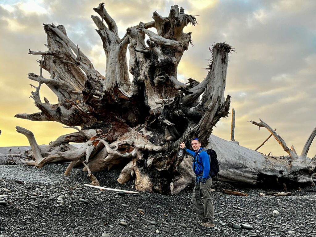
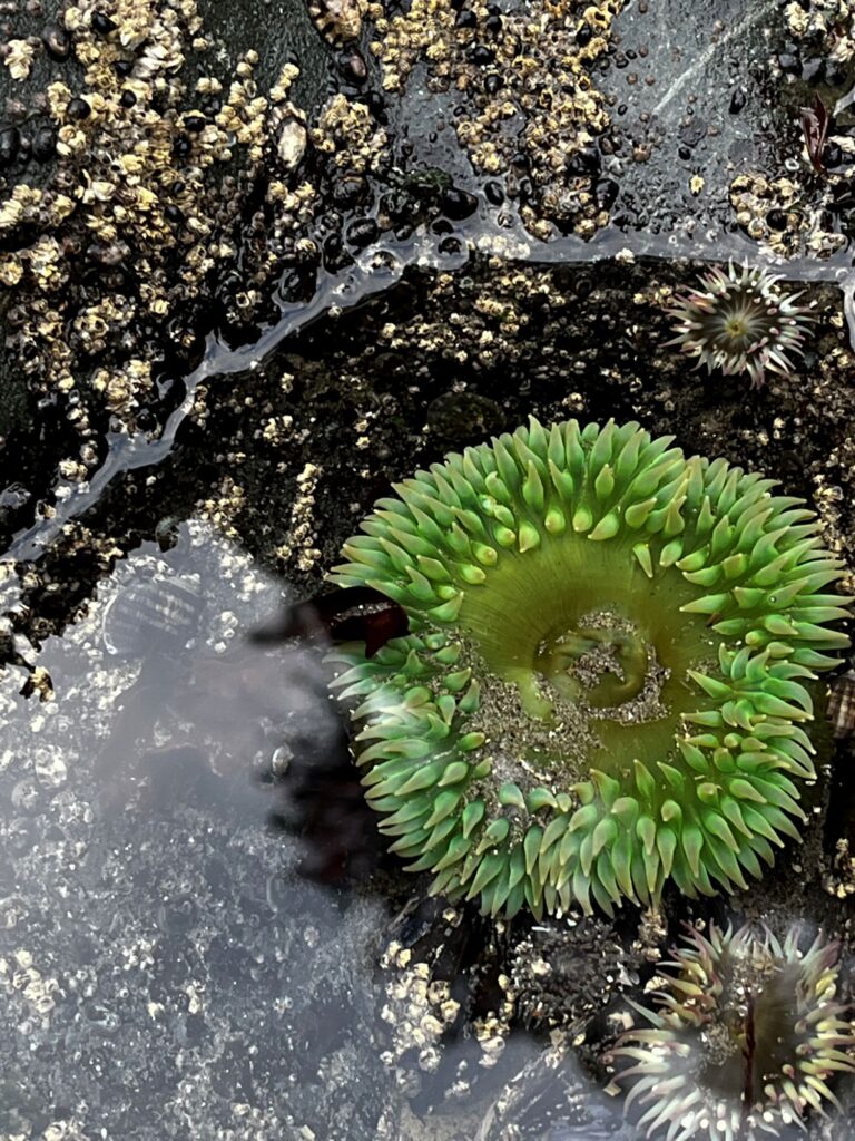
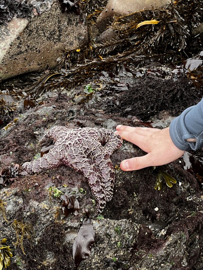
We started our day this morning at 6:45am when we left for Rialto Beach which was approximately a 30-minute drive from the motel. The beach was beautiful with plenty of driftwood along the shore and beautiful sea stacks. We hiked the 3.3 mile roundtrip hike out to “Hole-in-the-Wall” and back. We did this at low tide so we were able to explore a lot of tidepools which were teeming with wildlife. We saw plenty of Giant Pacific Green Sea Anemones and huge starfish of all colors. We even saw a family of raccoons scavenging the tidal pools. Walking along the beaches was tough on our knees and Colin’s knee still hadn’t recovered from the Klahane Ridge trail on the first day.
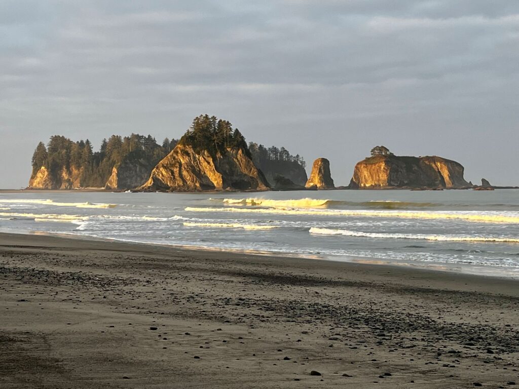
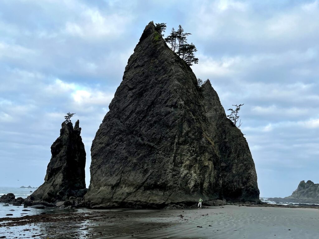
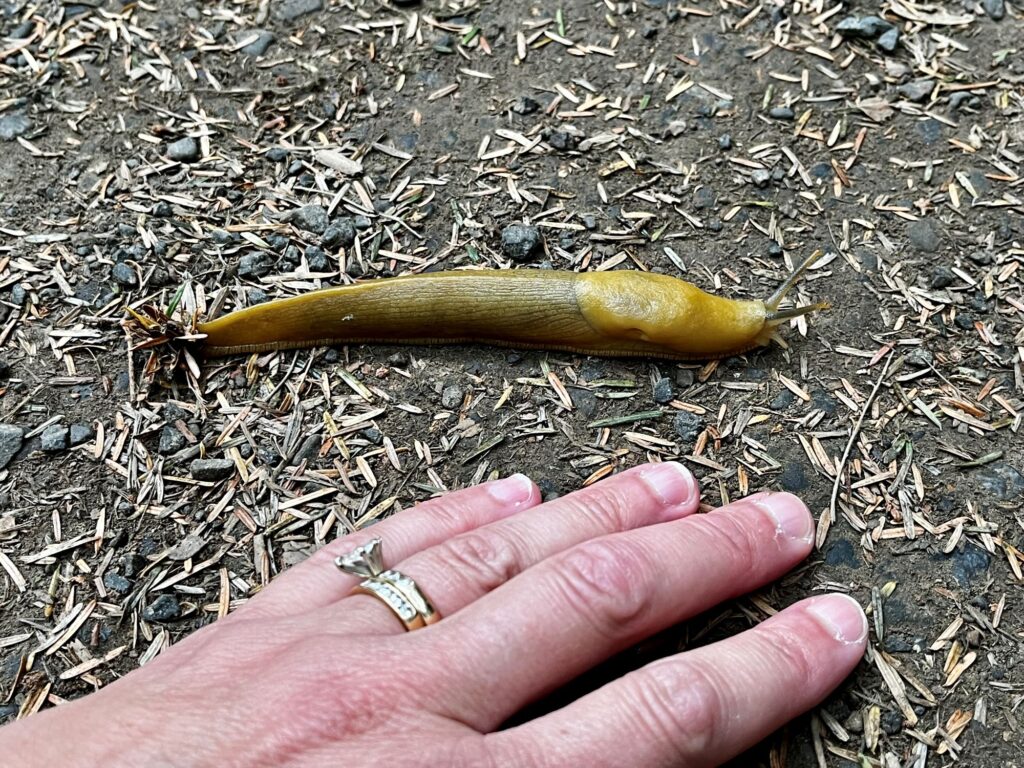
Our second stop of the day was Second Beach, which is further south and is one of the LaPush beaches. The hike travels thru the forest and right before you reach the beach there is a series of steep switchbacks down to the beach. I saw my first banana slug on this trail and was so excited. The beach is quite expansive with massive sea stacks coming out of the sea.
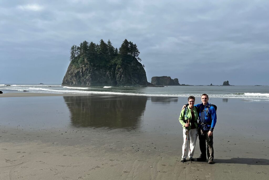
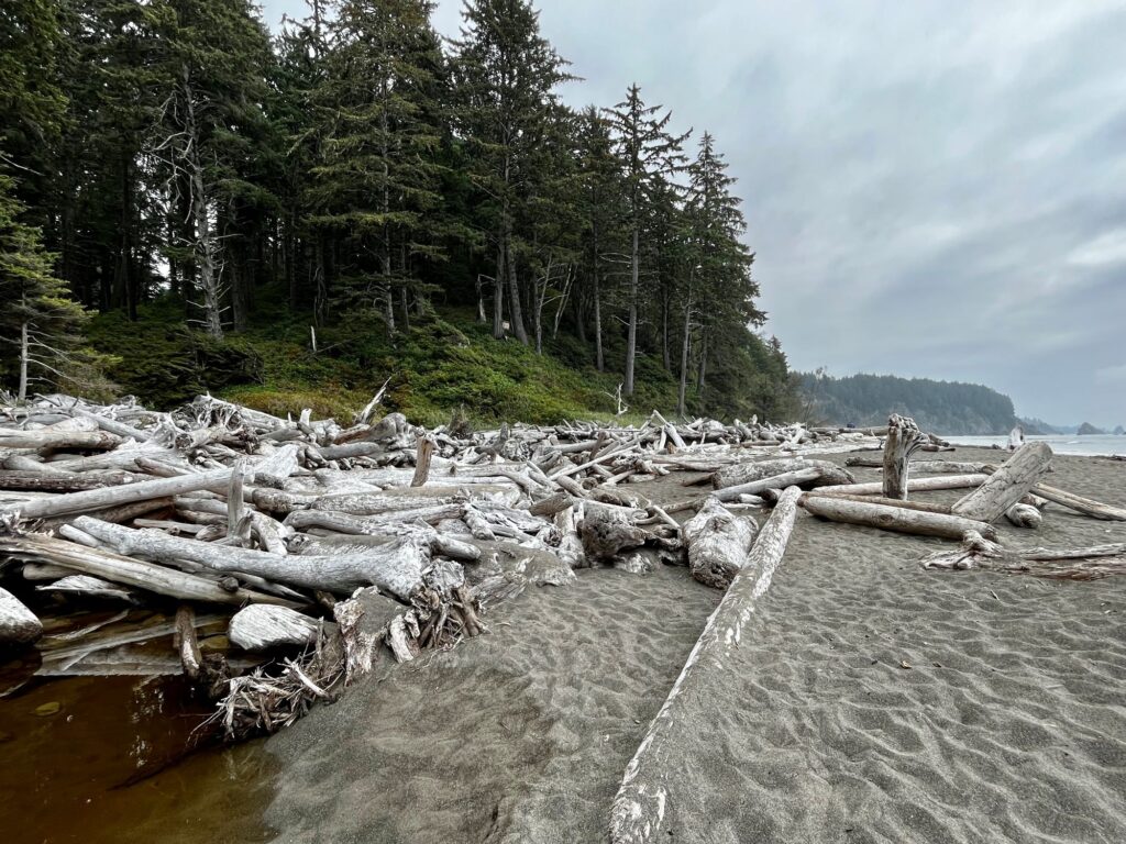
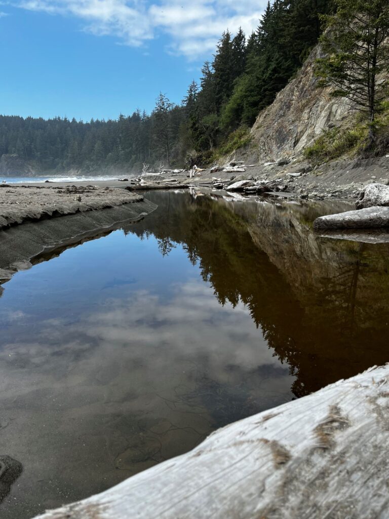
Our third and final stop of the day was Third Beach, further south of Second Beach. To access this beach you had to hike thru the forest and then climb over a field of driftwood. We ate lunch at this location. The weather was slowly beginning to cloud up again. In the evening while looking at Facebook, I came across some news that the southeast entrance to Mt Rainier NP had been closed due to forest fires in the area and that the town of Packwood was on a standby evacuation order the day before. I also saw that there were fires in the Cascade range including the Mt Baker area, rangers were discouraging people from hiking the Heather Maple Loop Trail and the area that we were going to be visiting in Mt Baker was closed. Colin and I looked at air quality maps and it didn’t look good. While we realized that things can change, we made the decision to alter our plans for the next 8 days. We had been a little disappointed the prior year when in the Grand Tetons, we could barely see the Tetons due to smoke. Between the possibility of heavy smoke and Colin’s knee status (still bothering him from the Klahane Ridge hike), with possible limited hiking, we altered our course to head south and visit the Oregon Coast, Redwoods NP, and possibly Crater Lake NP. This was probably the low point of the trip as we were not sure if we were making the right decision.
Day 5 – Kaloloch Beach, Quinault Rainforest, Olympic National Park
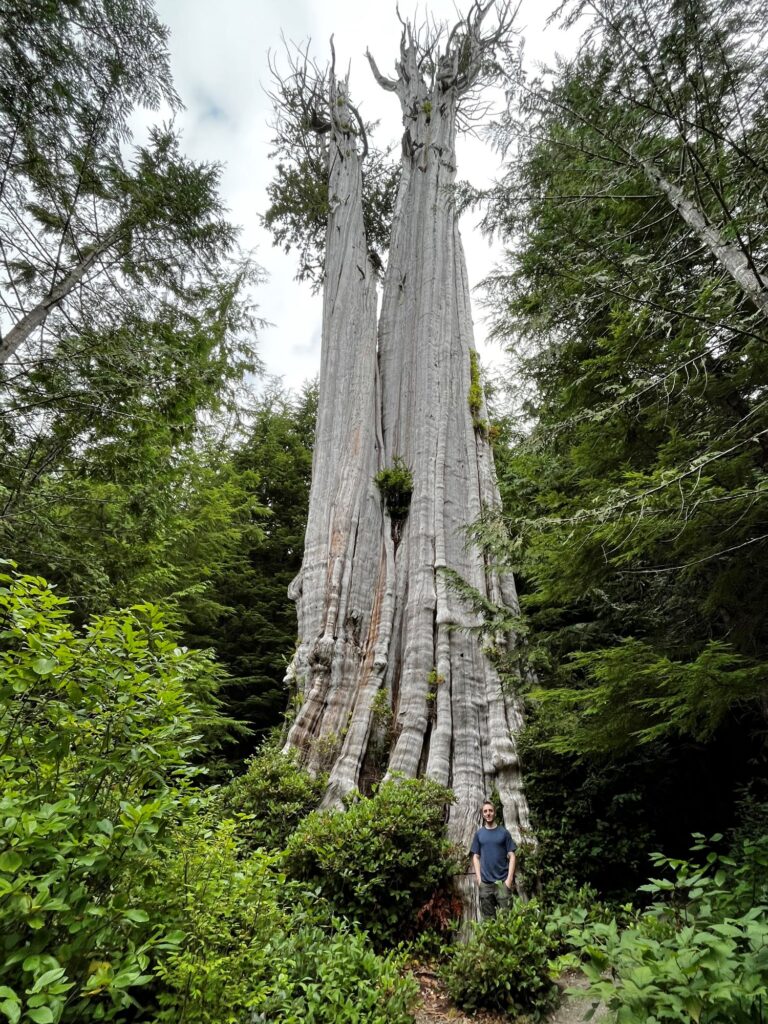
Armed with a new “fly by night” itinerary, we began our journey south on Route 101. First stop of the day was the Duncan Cedar, the world’s largest western red cedar. It was located off of a remote logging road, quite the adventure to get to. Next stop was Kalaloch Beach to see the “Tree of Life”. This is a huge tree that has a viewable root system, with no soil to support it, yet it is thriving with lush green leaves. Third stop of the day was the Quinault Rainforest along Lake Quinault. We actually might have liked this rainforest better than the Hoh Rainforest. It was definitely less crowded. We did a short interpretive loop hike and then did the Cascade Falls Loop hike where we stopped for lunch. Other highlights of the area included the world’s largest spruce tree, Bunch Falls, and Merriman Falls.
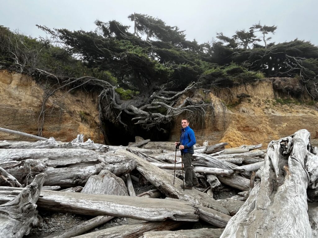
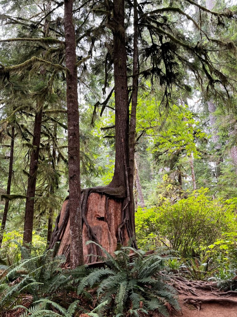
After leaving the Quinault Rainforest, we drove another 3 hours south on Route 101 to Seaside, Oregon. We crossed over the Astoria-Megler Bridge which is the longest continuous truss bridge in North America. While eating dinner, we secured our lodging for the evening at the Ebb Tide Oceanfront Inn in Seaside. After dinner we went to Sea Star Gelato for dessert, voted “Best Ice Cream” in Oregon.
Day 6 – Northern Oregon Coast
This morning started out with a quick look at the beach right outside of our hotel room in the daylight. We couldn’t really see too much as it was fogged in. We drove a few miles south on Route 101 to Cannon Beach and walked to the beach from the visitor center. Again, it was pretty fogged in, but we could see the famous Haystack Rock. We decided not to walk to it, as we had a lot of driving planned for that day. Driving further south we came across a parking area for Arcadia Beach and decided to stop and take a look. The beach was very nice, and we found a lot of tidepools worth exploring.
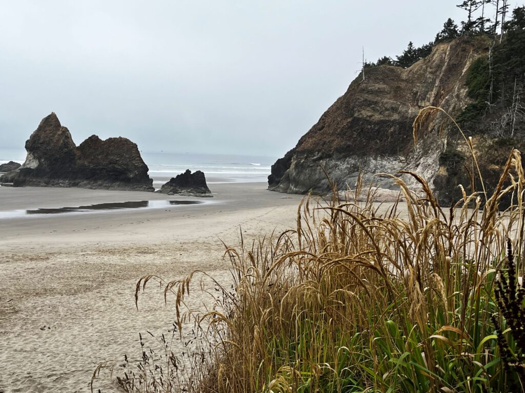
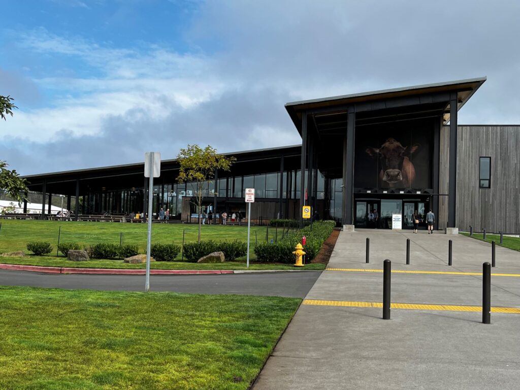
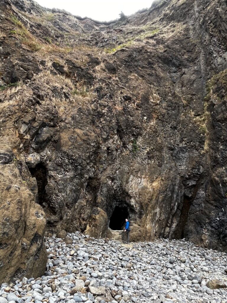
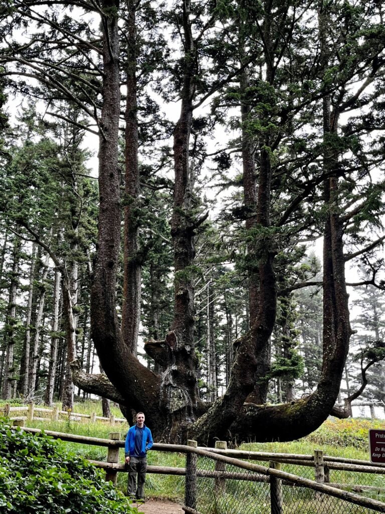
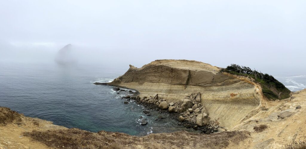
Route 101 turns inland for a bit, and we decided to stop in Tillamook and take a self-guided tour of the creamery there. It was an interesting tour and we got free cheese samples. It was a little too early in the day for ice cream. Our journey continued south; however, we got off of Route 101 to do the Three Capes Scenic Loop. Unfortunately, part of the loop to Cape Meares was closed so we had to do some backtracking. We stopped at Oceanside along the way to Cape Meares and hiked to Tunnel Beach. Upon reaching Cape Meares we had lunch in a picnic area and then went to view “The Octopus Tree”. We skipped the second cape (Cape Lookout) as we were a little confused about the signage and continued on to Cape Kiwanda. We had to pay a $10 day use pass at Cape Kiwanda, but it was worth it. Cape Kiwanda is a sandstone headland. You can hike up a massive sand dune, but Colin and I chose to just hike halfway up the sand dune and then follow the trails along the bluff. It was a cloudy day, but the views were still gorgeous. We were so excited that we got to see whales from the highest viewpoint.
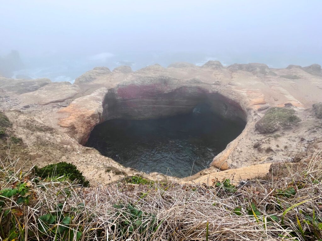
Our next stop was Devils Punchbowl State Park. We were there close to high tide, so the bowl was full, and the waves were churning. Apparently if you time it correctly, you can enter the punchbowl from below at a negative low tide. Next stop up was Cape Perpetua. Cape Perpetua was a beautiful area, where we also visited Devils Churn, which was kind of like Acadia’s Thunder Hole on steroids. The sun finally broke thru for the day while we were there, and we captured some awesome photos. Thor’s Well was also on Cape Perpetua. It is known at the drainpipe of the Pacific. We were there pretty close to high tide, so we did get to see the draining effect, although photos can’t really capture the phenomenon.
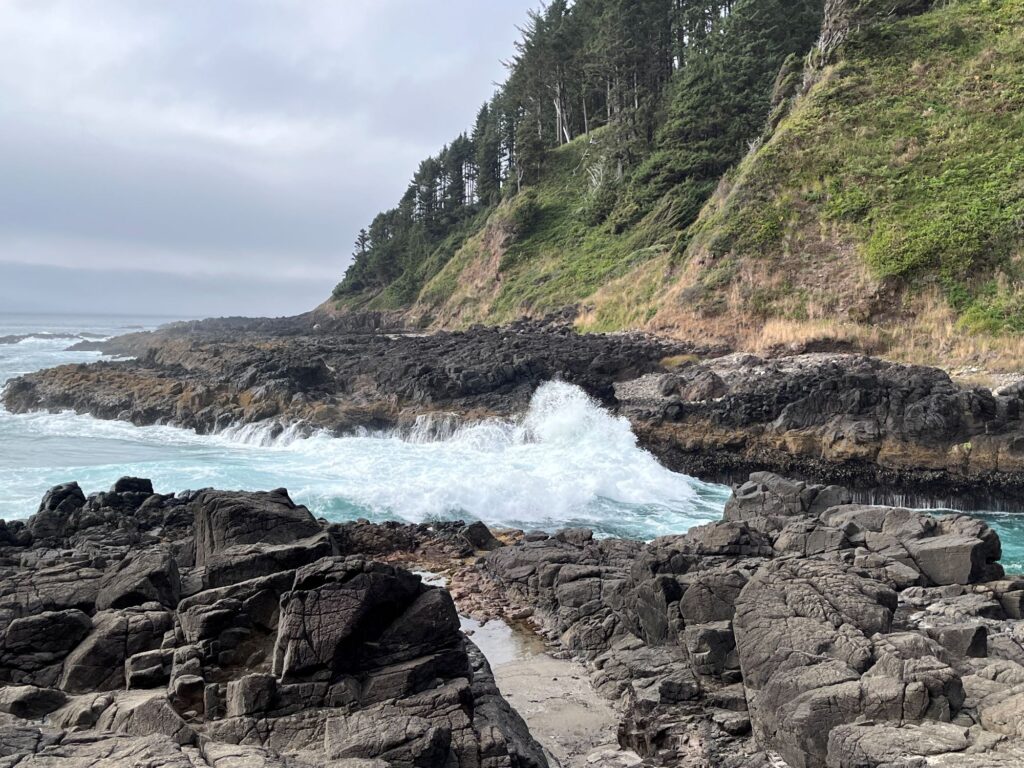
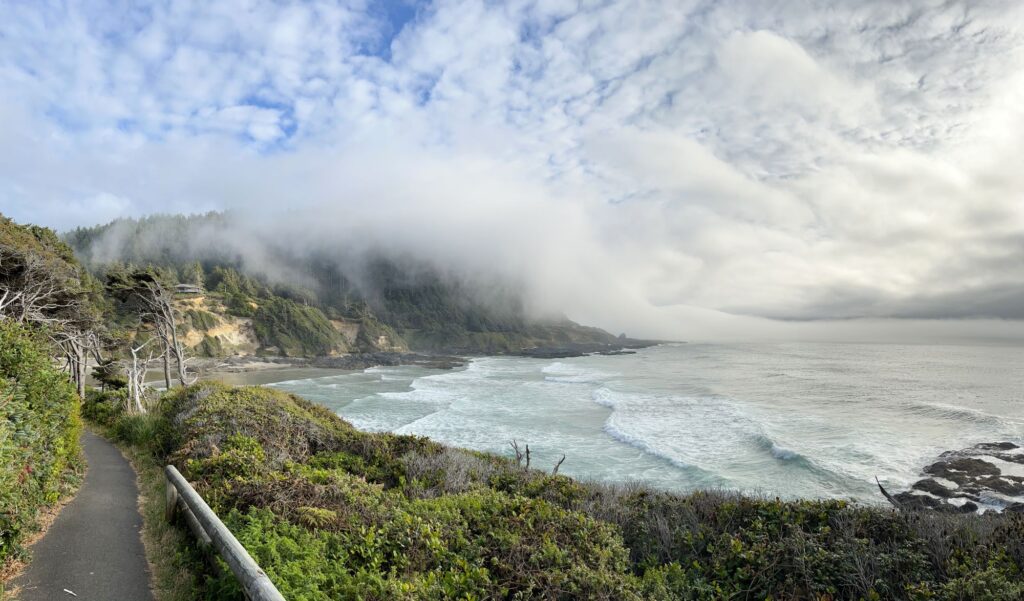
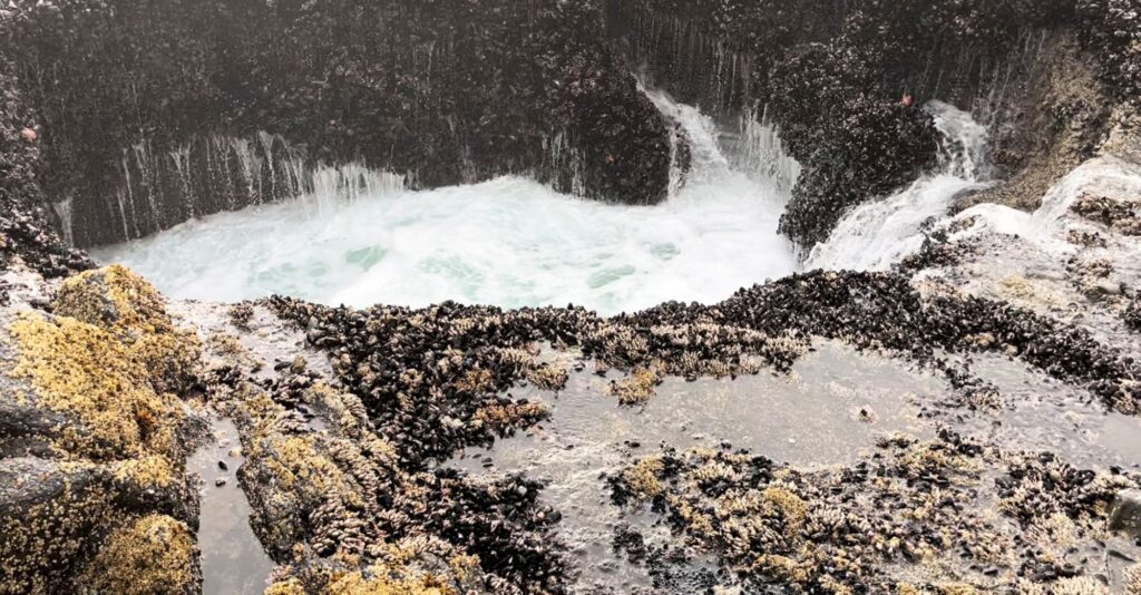
Our last stop of the day was supposed to be the Sea Lion Cave; however, it was late and it was closed. Our plan was to backtrack and stop in first thing the next morning. We continued south on Route 101 to the town of Florence. We parked in the historic area and ate at 1285 Restobar. It was a very nice, quaint Italian restaurant. We were seated immediately, and service was great. We secured our lodging at the Ocean Breeze Motel in Florence. The motel was clean, quiet, convenient, and the front desk lady was one of the friendliest people we met on our trip.
Day 7 – Southern Oregon Coast
The fog was pretty bad again this morning. I had read that the sea lions were not usually in the cave this time of year, but Colin still wanted to see the cave. We arrived at the Sea Lions Cave when they opened at 9am. They gave us a $2 discount, since there would be no sea lions, plus a free pass to come back within a year when they are present. The Sea Lions Cave is the largest sea cave in America, it is a privately owned wildlife preserve and bird sanctuary. The cave is the height of a 12-story building and is the length of a football field. It is NOT a zoo; the sea lions come and go as they please. There are bars at the viewing area (probably more so people don’t go into the cave, than the sea lions getting out of the cave). We had to take an elevator (approximately 20 stories) down to get inside the cave which had quite a few exhibits.
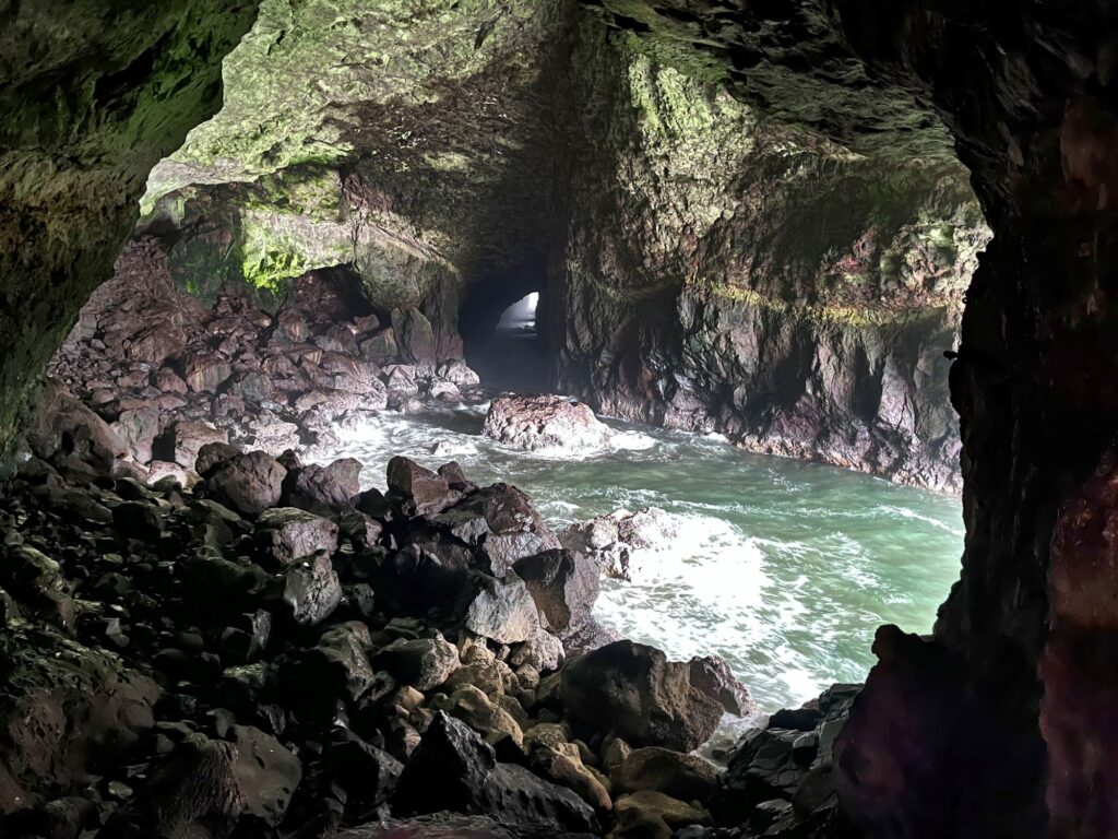
Florence is known for its sand dunes, and they have a lot of dune buggy tours. Colin & I weren’t too interested in these activities and chose to continue driving south on Route 101. We spent the late morning driving and pulled off at Battle Rock Wayside Park in Port Orford to stretch our legs for a quick ½ mile walk along the beach. We found a rest area a little further south and ate our lunch overlooking the ocean.
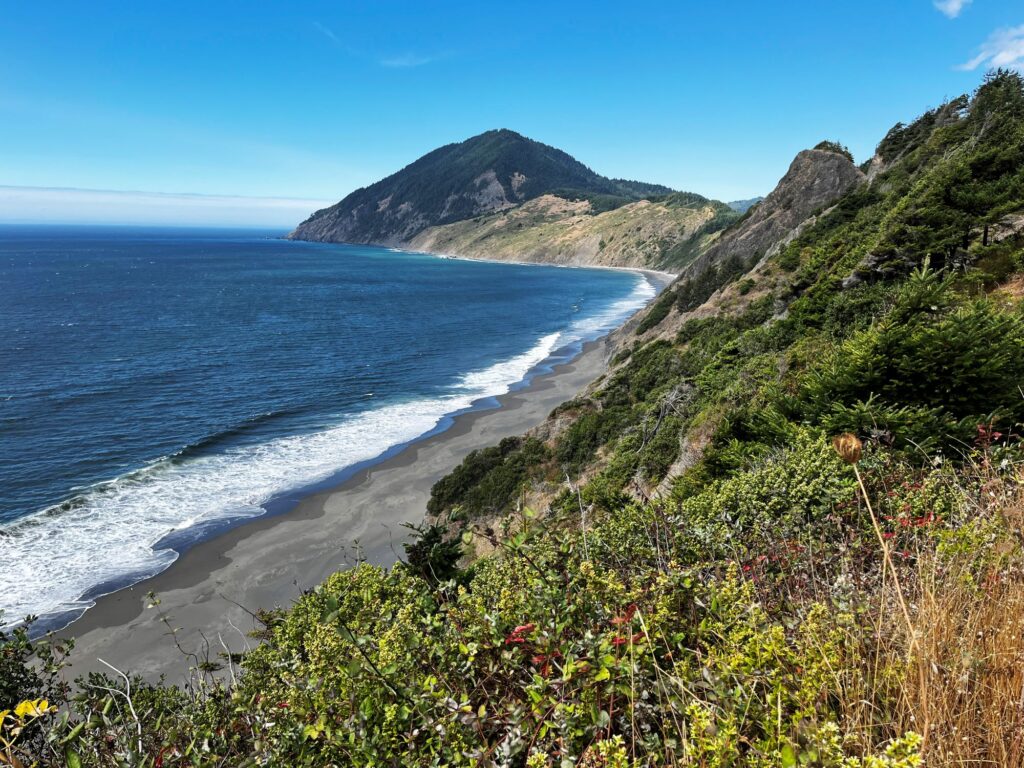
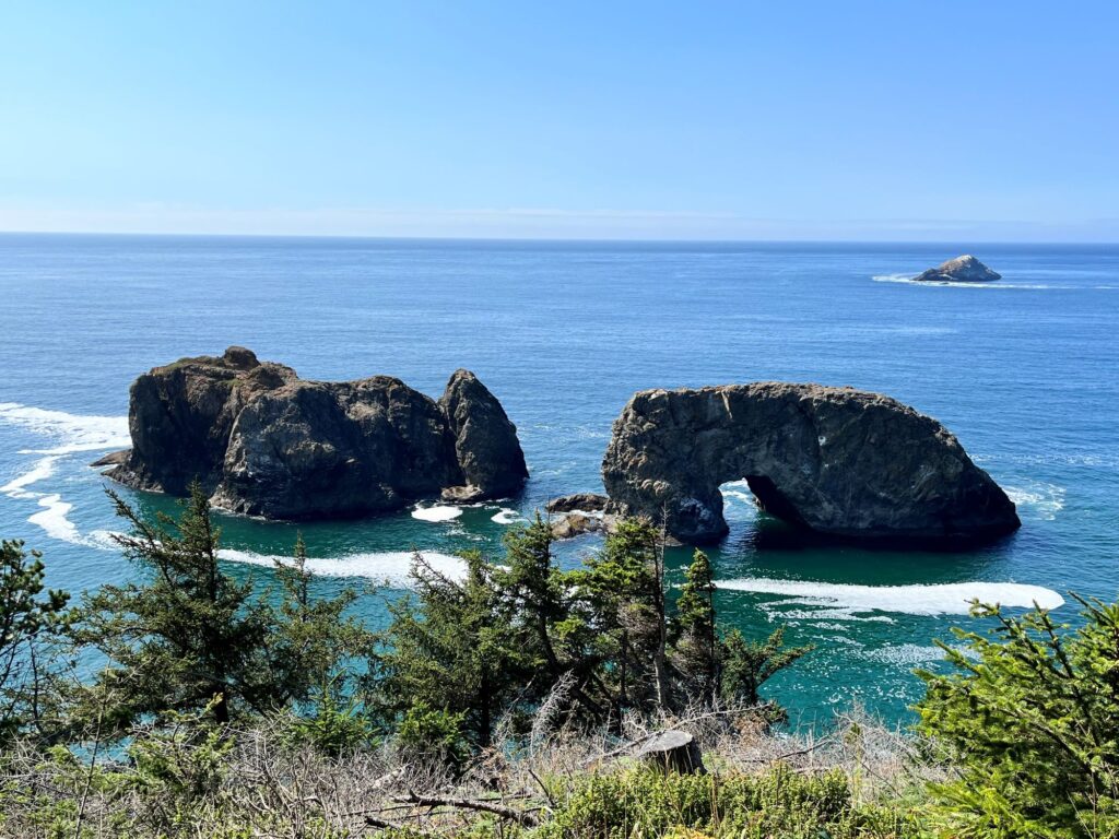
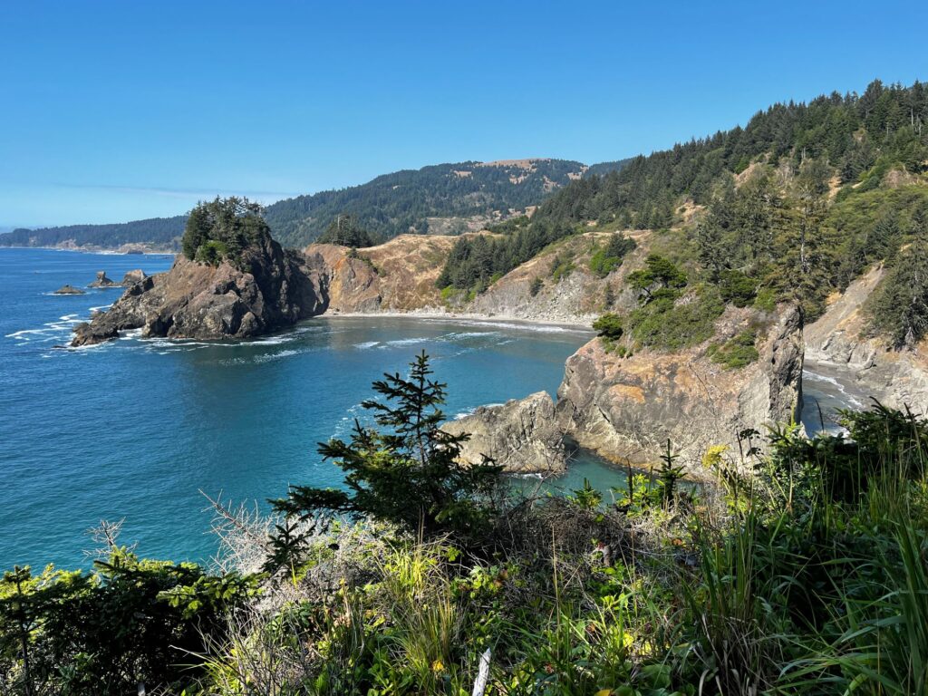
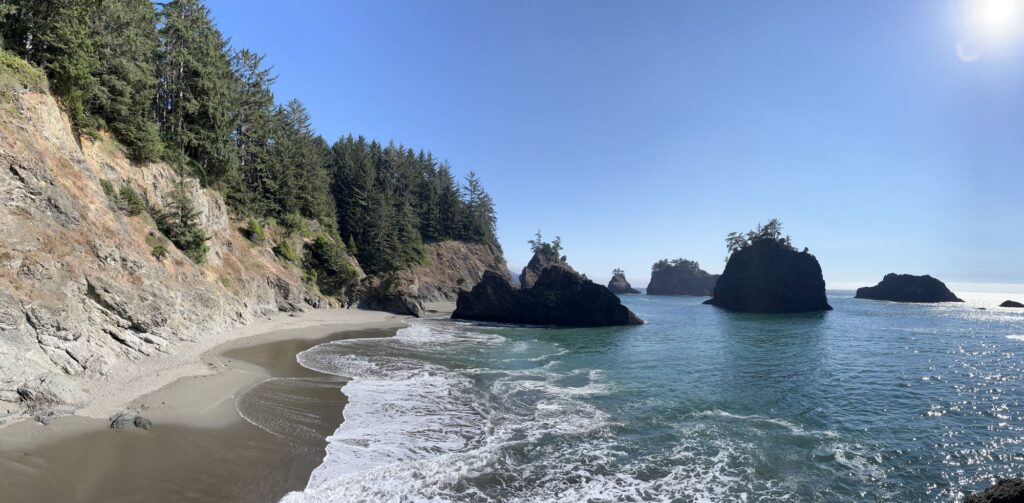
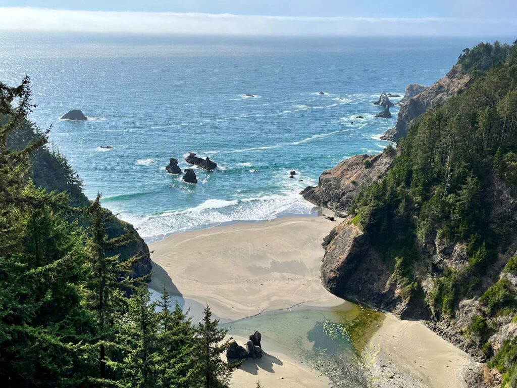
We arrived at the Samuel Boardman State Scenic Corridor around 2:30pm. This is supposed to be one of the most scenic areas on the Oregon Coast and it did not disappoint. We made numerous stops here, including Arch Rock, Natural Bridges, Secret Beach, and Whalehead viewpoint. We did two hikes: one a loop hike (which we originally thought was taking us to the beach) and another hike that actually did lead to the beach. It was high tide so we couldn’t actually get down onto the beach.
Our last stop of the day was after just crossing the Thomas Creek Bridge, the highest bridge in Oregon at 345 ft. Colin walked back onto the bridge to take a picture of the view. He pointed out that although there was a sign stating that “diving or jumping from bridge prohibited”, it didn’t say anything about walking or taking photos.
We arrived in Crescent City, CA around 5pm. The cost of gas once we crossed the border was over $6/gallon. It had been in the high $4 range in Oregon and Washington. We ate at the Apple Peddler Restaurant (which apparently is a chain). We booked the motel right next to the restaurant for a 2 night stay the Bayview Inn. Our least favorite lodging of the trip. I would not recommend this lodging. I guess you get what you pay for, because this was the cheapest lodging of the trip.
Day 8 – Redwood National Park, California
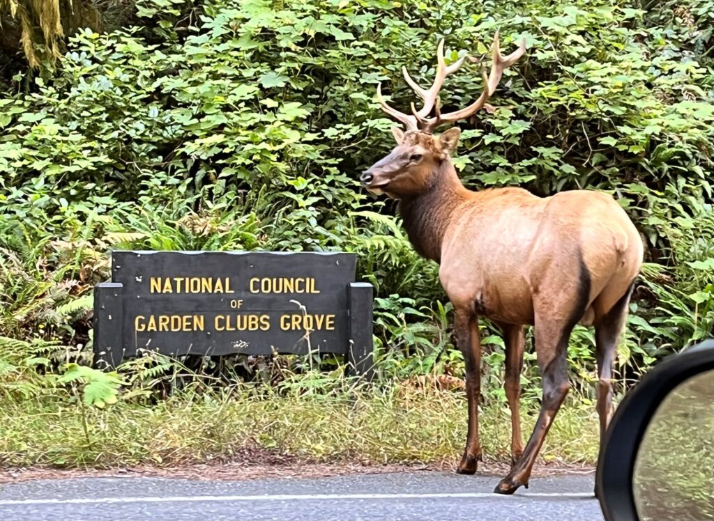
After getting a not-so-great night of sleep, we headed into the land of the BIG trees. Route 101 had quite a bit of construction going on as we continued south, and we were stopped in numerous places where the road narrowed to one lane and the traffic flow was regulated by traffic lights. We got off Route 101 at the northern entrance of the Newton B Drury Scenic Parkway. We stopped at the Ah-Pah Interpretive Trail for a quick introduction to these giant trees. About 5 minutes later we got caught in an “elk jam”. We were the first car in the southbound lanes. Two giant elk had wandered onto the 2-lane highway and were quite content to just stand in the middle of the road. After about 10 minutes the northbound traffic was able to get by. Once the northbound lanes were clear, the elk moved over to them, and I was able to cautiously get around them going south.
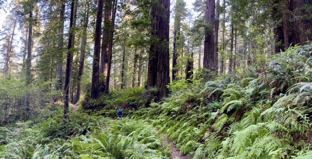
Our next stop was in the Prairie Creek section of the park to hike the Karl Knapp Trail loop which was a combination of the Prairie Creek Trail and the Foothills Trail. We saw a lot of big trees; we must have said “look at that big tree” about 100 times. After finishing our hike we continued further down the Newton B Drury Parkway to Elk Meadow. This is a common place to see elk, but we did not see any here. It was a nice place to have lunch. After lunch we hiked the Trillium Falls loop. It was along this loop that we came across a very fresh pile of skat (bear??). It kind of freaked us out a bit, as we heard something in the woods, so we high-tailed it on this trail. Upon completion of this hike we drove up to the Redwood Creek Overlook.
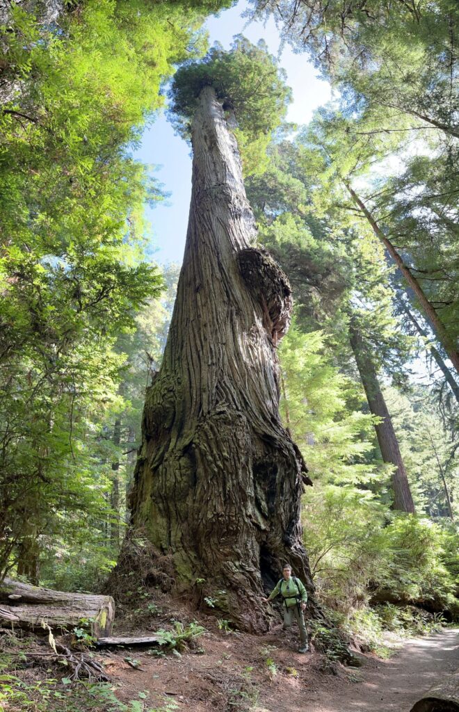
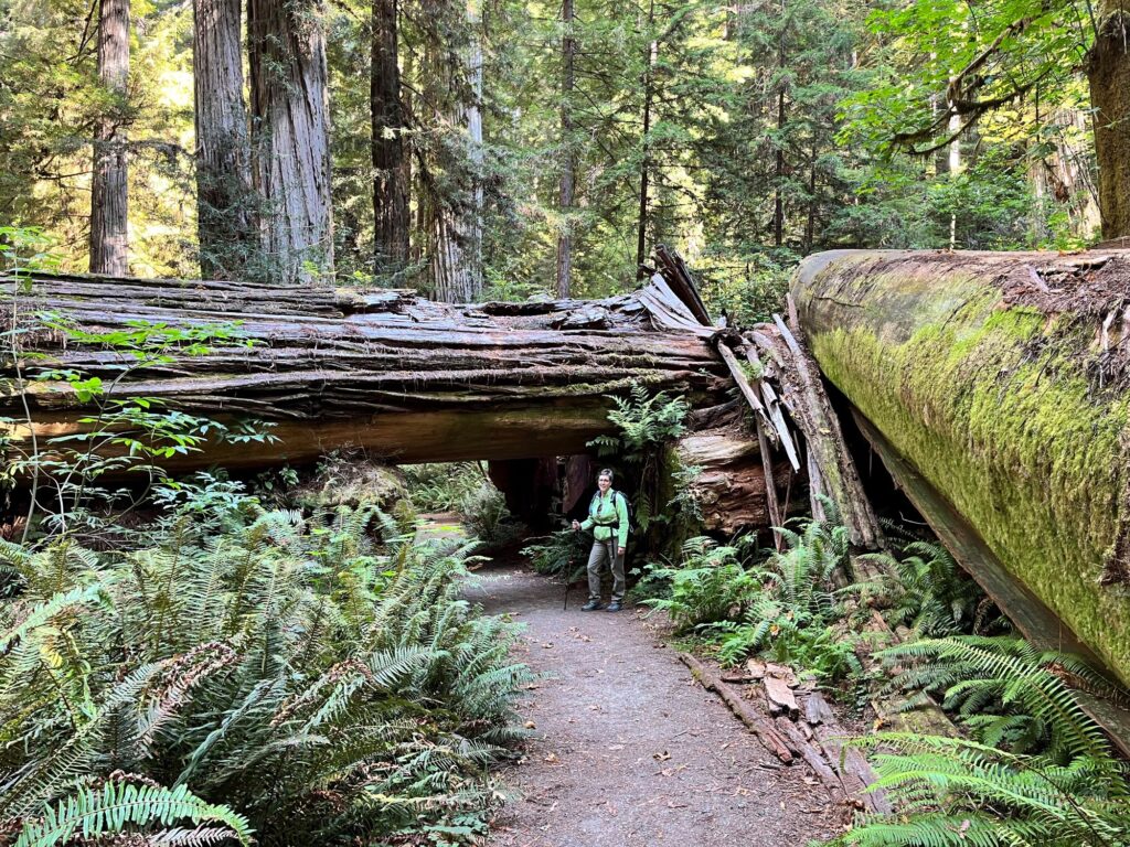
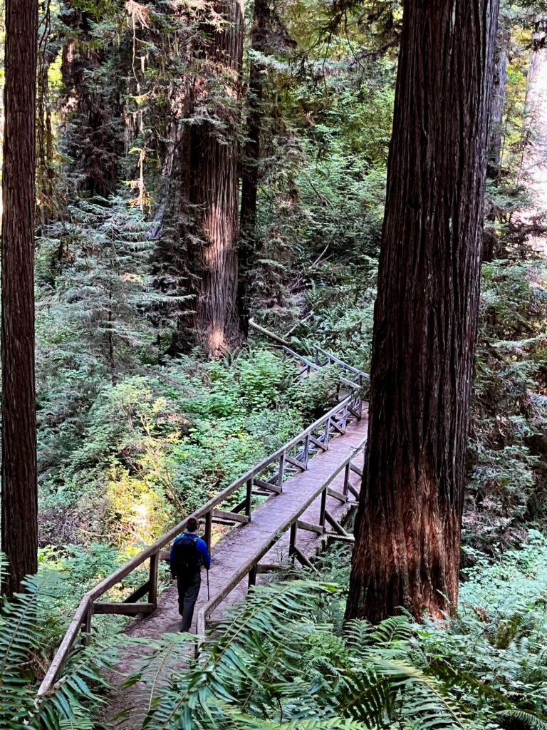
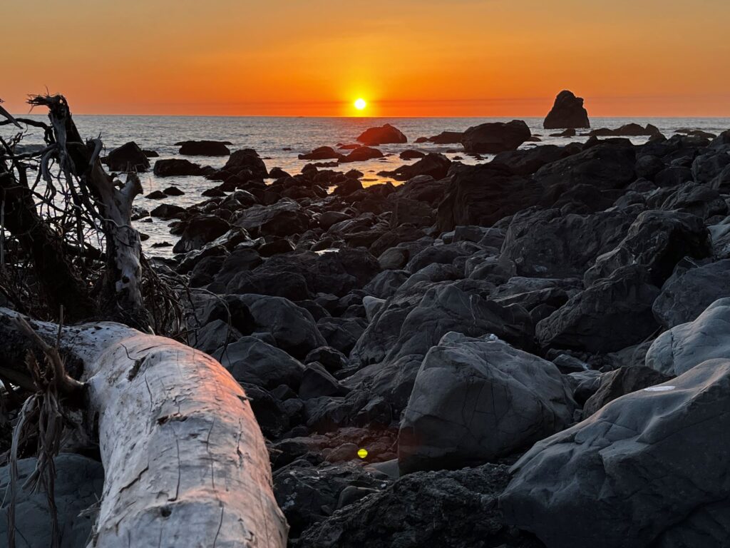
After the Redwood Creek Overlook, we headed back north towards our motel, but not before taking a detour to the east for our last stop of the day – Stout Grove, located in Jedediah Smith Redwoods State Park. To get there was like driving thru a slot canyon of giant trees. The road was only one lane wide, but it was 2 way traffic. We didn’t take any photos here, mostly just video. We got back to the motel and ate dinner again at the Apple Peddler. During dinner we made reservations for the following day for the 11am cave tour at Oregon Caves National Monument. We finished dinner early and decided to try to catch a sunset over the Pacific Ocean. We headed south again but didn’t get very far because we came across a herd of elk in a nearby meadow. After taking a few photos, we were on our way again. We parked at Wilson Creek Beach and got some fabulous sunset photos.
Day 9 – Oregon Caves National Monument, Oregon
We departed Crescent City at 8:30am. We probably should have filled up on gas, but we didn’t want to pay the California prices! I started getting nervous though as we entered back into Oregon and there were no gas stations. We were on a pretty remote road (Route 199) and I started to panic when the gas gauge went down to just one bar. We made it to O’Brien, OR where we were finally able to fill up. The drive from Route 199 to Oregon Caves National Monument was supposed to take 1 hour, but we made it in about 40 minutes, arriving early. When we went to check in at the Visitor Center the ranger asked us if we wanted to be moved to the 10:30am tour since there were 2 spots remaining. We jumped at the chance.
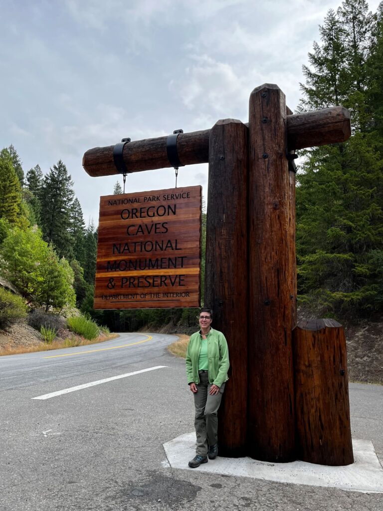
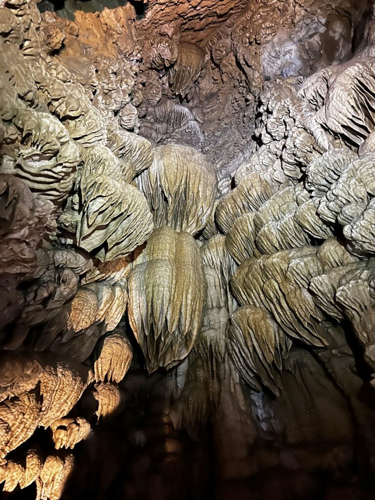
There were 12 people in our group and our tour guide was very good. He narrated the tour by telling the story of how the cave was first discovered in 1874 by Elijah Jones Davidson during a hunting trip, while looking for his dog (although Native Americans were probably aware of its existence before that). He also gave a lot of geologic information about how the cave was formed. The cave remains at a constant temperature of 44F. The tour lasted about 90 minutes and there was a lot of climbing up and down stairs (I believe it was 543 steps) and ducking beneath the rock walls. The most beautiful part of the cave was Paradise Lost. After exiting the cave, Colin and I chose to take the longer ½ mile hike back to the parking lot. This trail switch-backed up the mountain to a viewpoint overlooking the Illinois Valley, before returning to the Visitor Center. We ate lunch at a picnic table outside the Visitor Center and made our next plans. We secured lodging at the Union Creek Resort, about 30 minutes outside Crater Lake. This was a bonus, because we first thought we would have to stay in Medford, OR which was over 1 ½ hours away from Crater Lake.
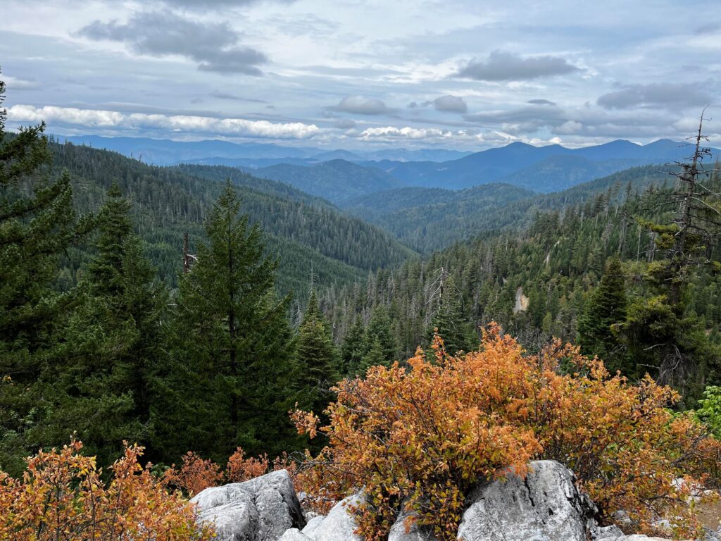
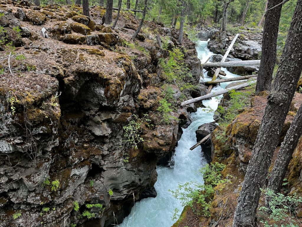
Union Creek Resort was not a resort as most people would imagine. It consisted of a tiny restaurant, Becky’s Café, a bunch of cabins, and a General Store. There were 10 rooms above the General Store, and that is where we stayed. Our room had a king size bed, a sink, a microwave, and a refrigerator. We had to share 2 bathrooms down the hall with the other 10 rooms, although this was really no problem. We dropped off our things and then headed a quarter mile down the road to see the Rogue River Gorge. The temperature had dropped to the low 50s and it was drizzling. Since it was still relatively early and even though the weather was pretty lousy, we decided to drive up to Crater Lake. Bad decision. As we steadily climbed up in elevation, the temperature continued to drop into the low 40s and finally into the upper 30s. It began to hail and snow. We were looking to turn around when we came across the Annie Creek Restaurant & Gift shop at the Entrance Station to the park. We were 6 miles from the lake, but the rangers were advising, not to continue as a cold front was moving thru. We spent some time in the gift shop buying some souvenirs.
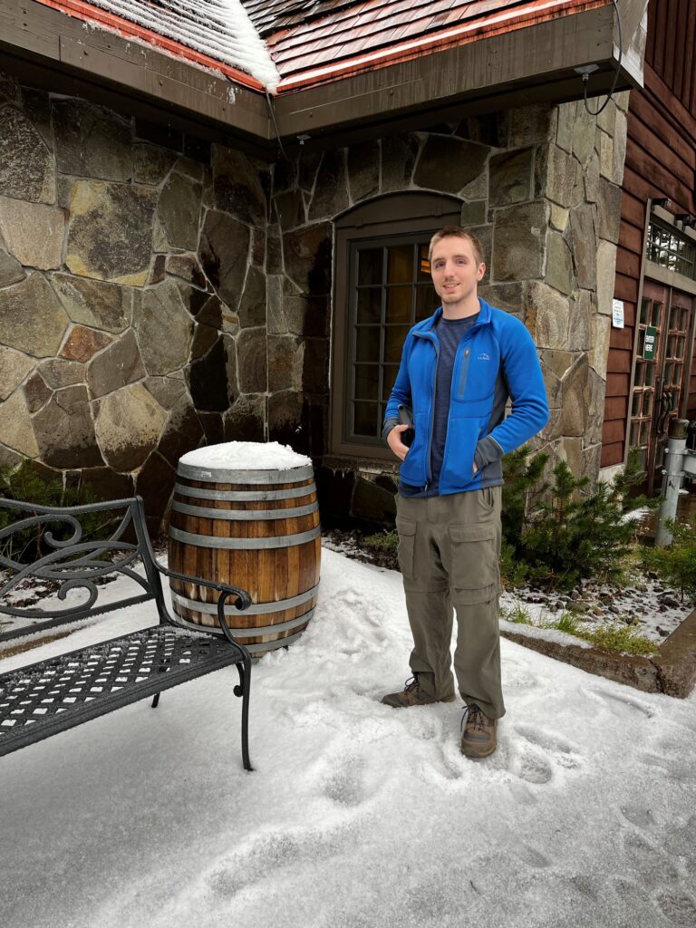
We drove back to the Union Creek Resort and went over to Becky’s Café for dinner. We had no cell signal nor wi-fi during this stay until the next morning when people began checking out. The evening was spent playing 2 games of cribbage and then I wrote out postcards, while Colin read a book.
Day 10 – Crater Lake National Park, Oregon
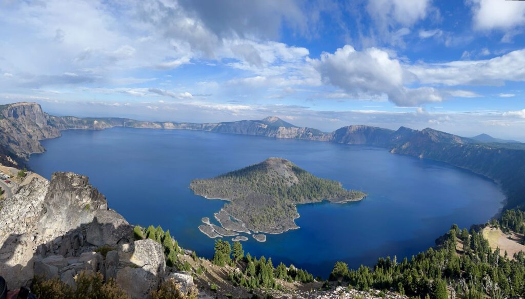
We were in no rush this morning to get moving. We were finally able to get on the wifi and the weather was not looking good, although there was a chance it would improve as the day progressed. We checked out around 11am and decided to head back up to Crater Lake, as web cams showed that it was visible and was not snowing. The temperatures were still pretty cold up at the lake (39-40F). We checked out the gift shop and the small Visitor Center (the main Visitor Center was undergoing renovations). I finally gave in and purchased a National Parks Passport book. We started driving the 33 miles around the lake in a clockwise direction. The lake is 5 miles by 6 miles across with the caldera rim ranging from 7000 -8000 feet. The lake’s average depth is 1,148 ft and the maximum depth is 1,949 ft. It is the deepest lake in the United States and based on average depth it is the deepest lake in the Western Hemisphere. Its waters are said to be some of the purest in the world as there are no rivers, streams or tributaries feeding it. It was formed by the collapse of the volcano Mount Mazama. We stopped at most of the overlooks. The lake is impressive with the steep slopes of the caldera dropping down into the lake. We were disappointed with so much cloud cover, that we couldn’t see the deep blue color of the water, which the lake is known for. We debated whether to climb to the Watchman’s Tower, but decided it was way too cold and windy at the time and decided to table that idea, with the option to do it later in the day (good move!!). We also decided not to hike the Cleetwood Cove trail, which is the only accessible trail from the rim to the lake. It is a steep, switchback trail. In the summer you can hike this trail to the lake to go swimming or take a boat tour. The water temperature stays between 60-68F in the summer.
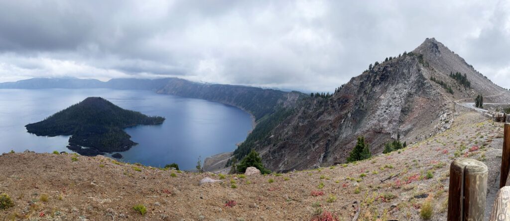
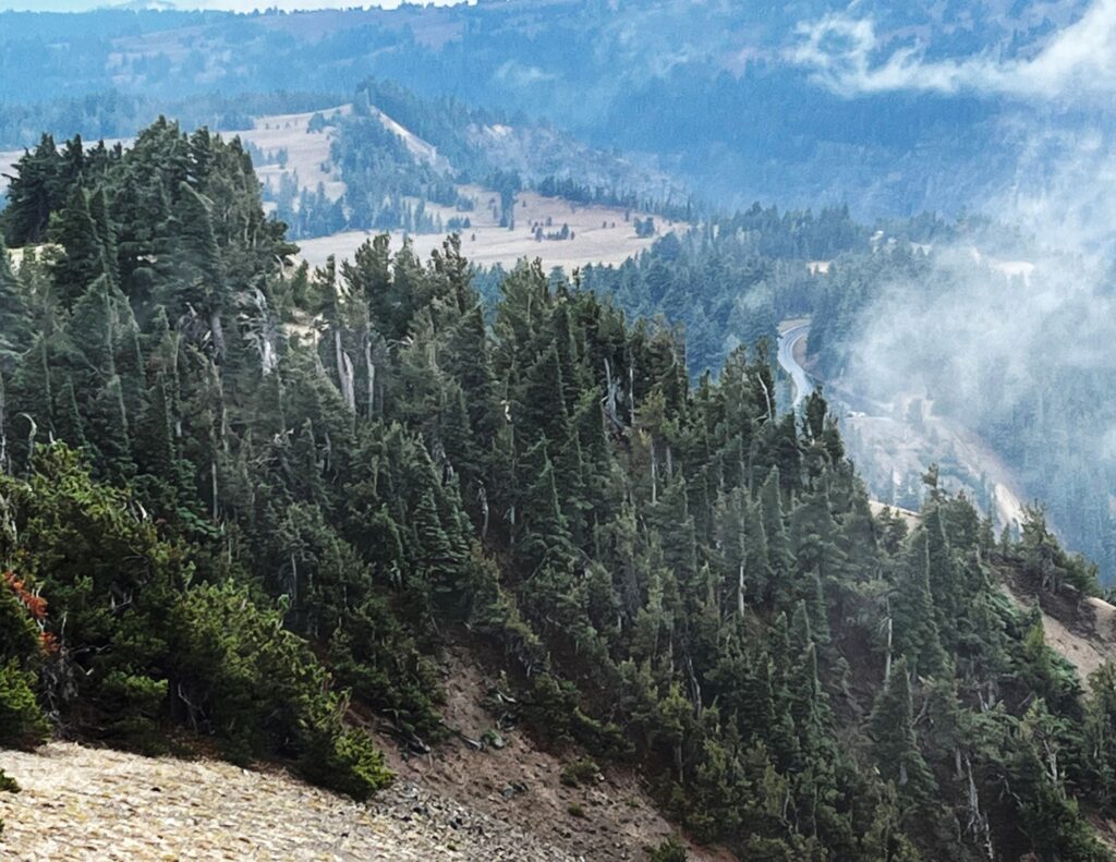
We ate lunch in our car today because it was just too cold and windy outside. We drove up to the Cloudcap Overlook to take in the view. It is the highest paved road in the state of Oregon at 8,065 ft. Cloudcap experiences some extreme weather as stated on an informational placard “Summers are short, very dry, and moderate in temperature, In winter, storms from the Pacific Ocean drop an annual average of 44 feet of snow, leaving the terrain blanketed in white eight months per year. Prevailing winds blow so strongly from the west that it kills or stunts the growth on the windward side of high elevation tree species. The result is a flag tree, named for its flag-like appearance.” At Cloudcap we could see some blue areas peeking out from the cloud cover, so we started getting excited.
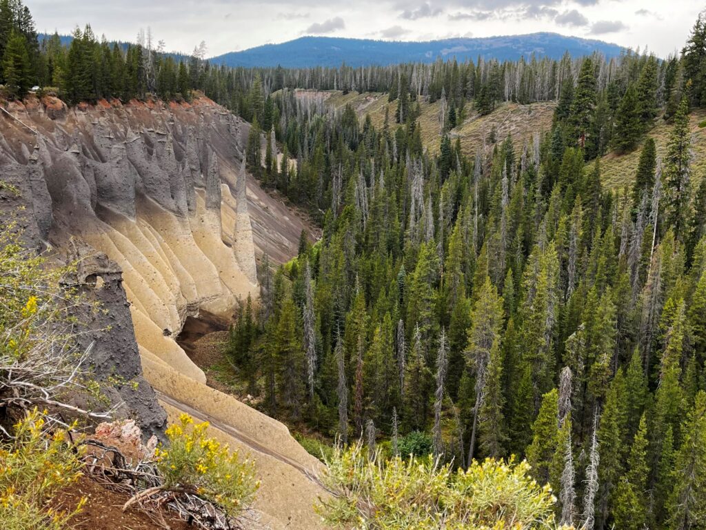
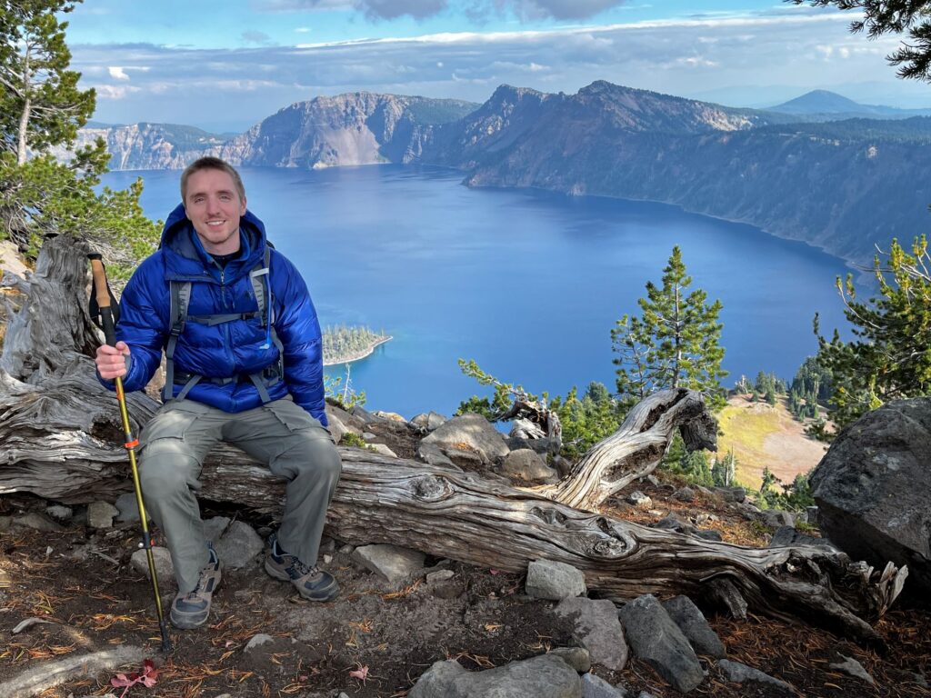
Around 3 :30pm we detoured off the Rim Road and headed down Pinnacles Road to see the Pinnacles. The Pinnacles are a collection of 100-foot-tall (30-meter) spires which have been created as the canyon walls around them have eroded away. The spires are “fossil fumaroles,” each marking a spot where volcanic gas rose up through hot ash deposits, cementing the ash into solid rock. We walked the 0.8 mile out and back trail. By now, the sky was actually turning blue. We returned to the Rim Road and headed back out to the Watchman Tower trailhead. The trail is only 0.8 miles to the tower, but it is all uphill with steep switchbacks. Just as we made the final turn to the tower, the sun came out and lit up the lake. We were able to witness that beautiful blue color of the lake and the array of shades of blue around Wizard Island. We spent about 20 minutes at the tower and then returned back to the car. As we were hiking back to the car, the sun went hiding behind the clouds again.
We had a 2 ¼ hour drive to get to Bend, OR where we would be spending the night at the WayPoint hotel. We ate dinner at the Black Bear Diner in Bend.
Day 11 – Smith Rock State Park, Oregon
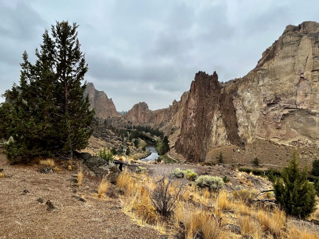
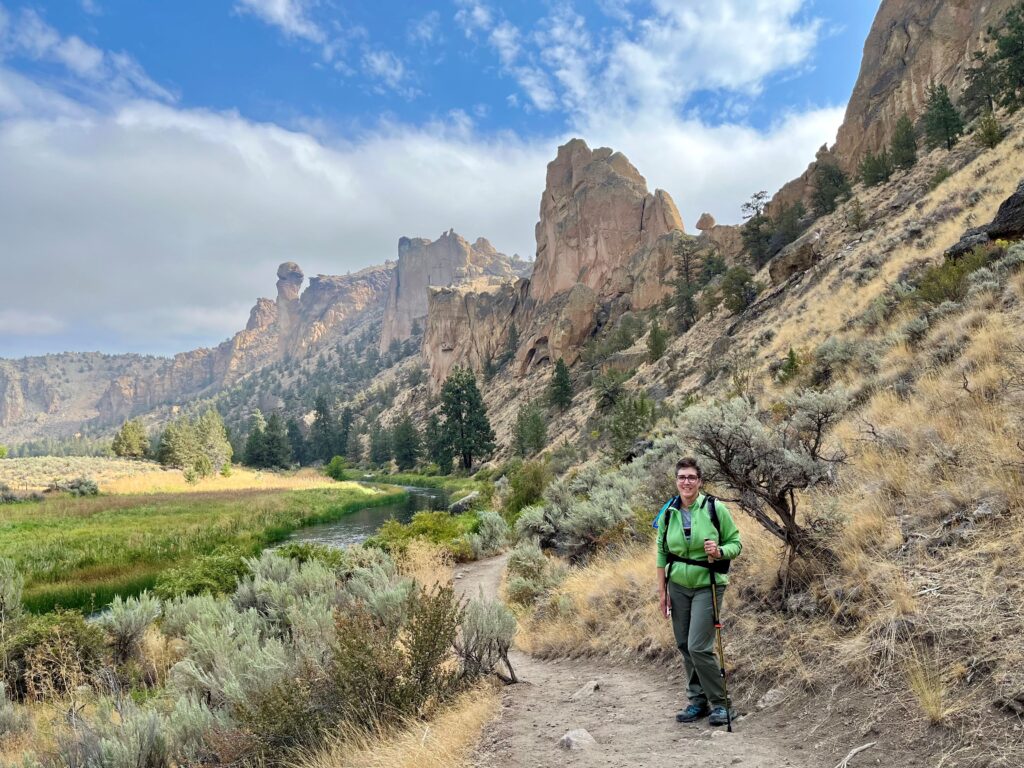
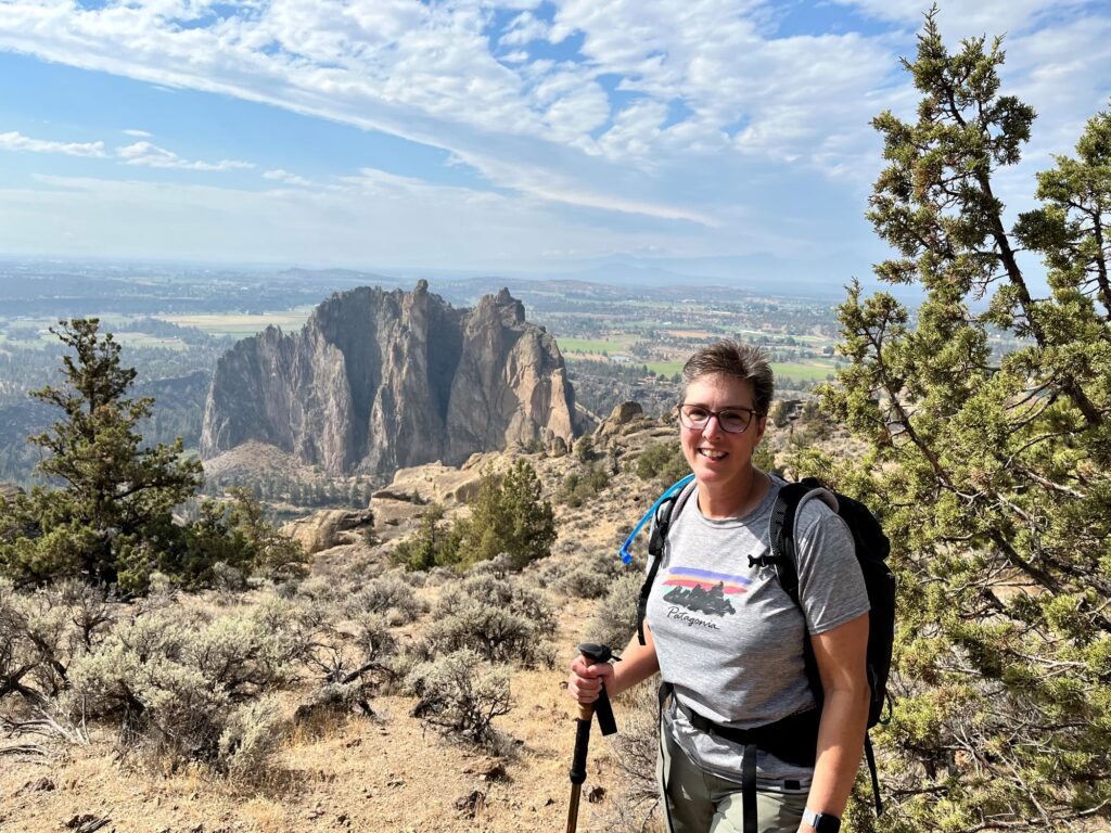
This morning we drove a ½ hour north to the town of Terrebonne, to Smith Rock State Park. This area reminded me more of Utah than of Oregon. Smith Rock State Park is said to be the birthplace of sport rock climbing. There are over 2,000 climbing routes in the park. The location is used on the logo for Clif energy bars. When we arrived at the park it was quite overcast. We debated about hiking because we really didn’t want to be rained on. Colin checked the weather, and it said that the day was supposed to be sunny with zero chance of precipitation. Sure enough, 15 minutes into the hike, the sun came out and Colin had to put his hat on. Following advice from the park’s website, we chose to do the Reverse Misery Ridge Loop. This was a 4-mile trail that starts out along the scenic Crooked River that meanders thru the main climbing areas of the park before switch backing up the Mesa Verde Trail to the ridge at Monkey Face spire. Those switchbacks are a killer. From the River Trail we could see two climbers, climbing the Monkey Face spire. When we reached the ridge, there were a bunch of people set up with cameras on the two climbers. One (a guy) had already reached the cave area of the spire. The other climber (a girl) was more or less being pulled up, than actually climbing. We learned from the observers that they were planning on reaching the top of Monkey Face and then the guy was going to propose. We thought about staying to watch, but the girl was moving pretty slow, and we didn’t think we would have the time. We walked out along a second ridge to get a better view of Smith Rock. We could also see a huge peak in the distance that we later learned was Mt. Jefferson, the second highest peak in Oregon. After taking in the views we then headed down the Misery Ridge Trail. Again, this trail was quite steep with switchbacks, leading all the way to the river.
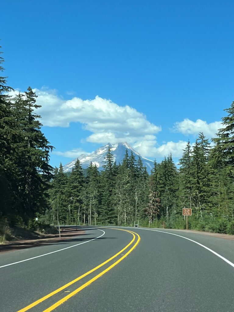
We left Terrebonne and headed north on Route 97. We stopped for lunch in the small town of Culver at Beetle Bailey’s Burgers. We continued north on Route 26 and entered the Mt Hood National Forest. Mt Hood, the highest peak in Oregon at 11,249 ft loomed in front of us. It is a potentially active stratovolcano. We were able to get some good views of Mt Hood, because unfortunately we were the first car behind a “Wet Paint” caravan that went 15 mph. I guess there could be worse places to get slowed down. We arrived at our Comfort Inn in Troutdale (just east of the city of Portland) around 4PM.
Dinner that night was at a high school friend’s house who I hadn’t seen in over 30 years. We had a great time reminiscing.
Day 12 – Columbia River Gorge, Oregon & Mount St. Helens, Washington
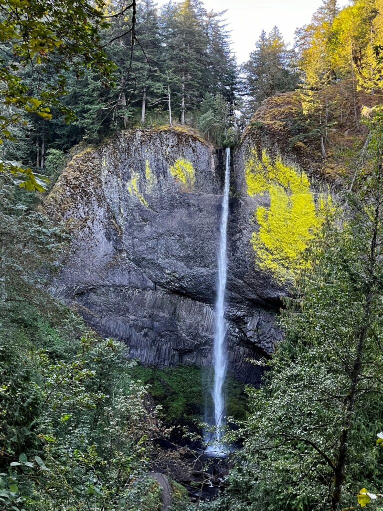
This morning we had to do a total re-pack to get back to our 2 carry-ons and 2 personal items. I must have done a better job packing because even after buying quite a few souvenirs, we still had room to pack our hiking boots and wear our sneakers on the plane. After eating breakfast at the included buffet, we headed east, out along Route 30, the Historic Columbia River Highway. We stopped at most of the scenic pull-offs, beginning with Chanticleer Point and then Vista House. Much of the land around the highway was donated by philanthropists or civic groups so that it could be preserved. The first waterfall we came across was Latourell Falls. It is a single plunge fall that drops 224 ft.
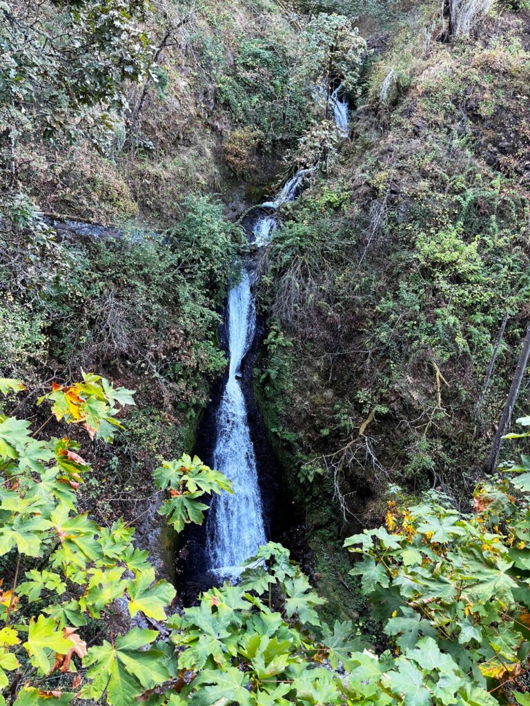
The next waterfall we came to was Shepperds Dell Falls. This was a 90 ft, two-tiered waterfall. There is a third tier that is present after Young Creek runs under the highway, that makes the total drop 224 ft.
Bridal Veil Falls was the next waterfall heading east, however, we could not seem to find it. We weren’t sure if we had to park somewhere and hike or if the area was closed, so we finally gave up and continued on.
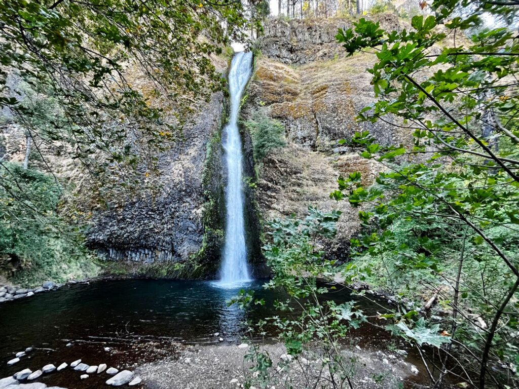
Wahkeena Falls was the next waterfall that we came across, but the parking lot was full here so we had to continue on. Multnomah Falls was the next waterfall up and again there was no parking available, so we had to continue on. The next waterfall on the list was Oneonta Falls. This waterfall involves a hike to get to it, but there were signs warning that this area was closed, due to forest fire damage in 2017. So again, we bypassed it and continued onward to Horsetail Falls. This waterfall drops 176 ft in a single horsetail formation.
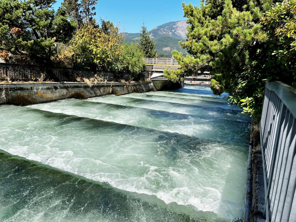
We continued east on Route 30 which then joined up with I-84. We continued east and were originally planning on driving to Hood River to see if there were any kiteboarders on the river but changed our plans and instead stopped at the Bonneville Lock and Dam. We had just missed a cruise ship go thru the lock (we saw it earlier on the river). The dam is owned by the US Army Corps of Engineers and is recognized as one of the world’s largest hydroelectric systems with two powerhouses that produce 5 billion kilowatts of electricity each year. The dam provides power for 80% of the Pacific Northwest Region. We enjoyed watching salmon swimming upstream in the fish ladder. I never realized how big salmon were. This was the furthest east we would venture along the gorge.
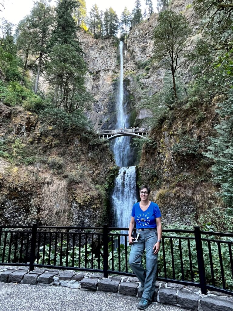
We turned back around and started retracing our steps. We stopped at Ainsworth State Park where we ate our lunch. As we headed back west on Route 30 we were able to secure a parking spot at Wahkeena Falls. Wahkeena Falls is a 242-foot cascading waterfall. After viewing the falls, we hiked a 1/2 mile east on a trail paralleling Route 30 to Multnomah Falls. Here we visited the giftshop and took in views of the falls from both the lower level and the bridge. Multnomah Falls is the most visited natural recreation site in the Pacific Northwest. Fortunately, the timed entry system for the area had ended while we were there. The falls is a staggering 611 ft tall with 2 drops, the upper drop is 542 ft, while the second drop is 69 ft. It is the tallest waterfall in Oregon. While we enjoyed our time along the Columbia River Gorge, I still believe that the Finger Lakes Region/Ithaca/Watkins Glen offers some serious competition when it comes to the waterfalls.
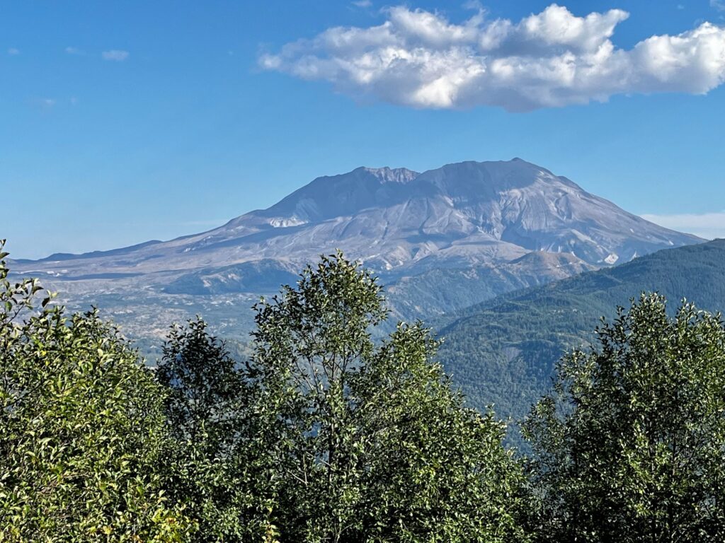
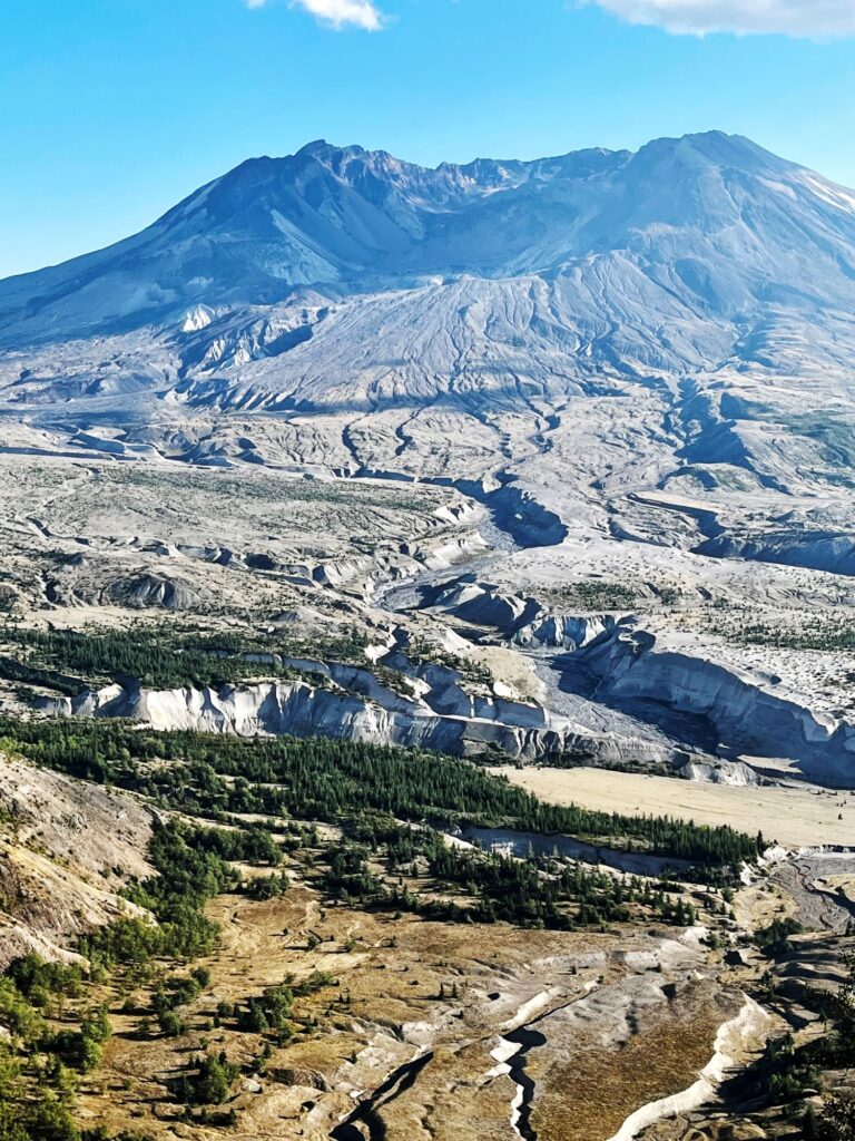
After our fill of waterfalls, we continued west on I-84 back to Portland and then I-5 on our way back to Sea-Tac. We weren’t quite finished yet, though……… The Mt. St. Helens Visitor Center was only a few miles off of I-5. We arrived at the visitor center around 3:45 pm, got a map, and took a quick view of Mt St Helens in the distance. The older gentleman at the information desk said it would take about an hour each way to get out to the Johnson Visitor Center at the base of the mountain. I timed it out, Colin was a little skeptical, but I talked him into driving at least to the next visitor center which was only about 35 minutes away. Once we got to the next visitor center, we just had to go all the way. The drive was beautiful, and we pulled off a few times to take in the views. We arrived at the Johnson Visitor Center at 4:45pm. Colin set his alarm, and he gave us 10 minutes (we used 15), to take photos and look at some of the exhibits at the Visitor Center. I was fascinated by the stories of those survivors who were camping in the area when the volcano erupted on May 18, 1980. It was the deadliest and most economically destructive volcanic event in US history. Fifty-seven people were killed and the eruption caused a massive debris avalanche that reduced the elevation of the summit from 9,677 ft to 8,363 ft and left a 1 mile horseshoe shaped crater behind. I was so glad we stopped here as our final outing of the adventure.
We reached Sea-Tac at 7:50pm for our direct red-eye flight leaving later in the night.
It was a wonderful trip, even if it wasn’t the original trip planned. Parts of this itinerary were already in my “Bucket List Trip Book”, it just got moved to the front of the line. I’m so glad my boys appreciate the beauty of this planet as much as I do.
