In January of 2020 I booked a 5 day hiking trip to Death Valley with REI for March of that year. Less than 2 months later, the COVID-19 pandemic exploded. Two days before I was to fly out to Las Vegas on March 15, 2020, I cancelled my trip due to concerns of air travel suspensions and the thought of being stranded out west. REI graciously refunded all cancelations during this time. For the next 18 months, I looked back on the day I cancelled the trip and wondered if I made the right decision. Would I have been able to enjoy the beauty of Death Valley and the excitement of hiking and meeting new people, or would the group have been constantly worried about the virus putting a gray cloud over our heads? I guess I will never really know if it was the right decision, but the thought of visiting Death Valley never left my mind.
About 15 months later, COVID restrictions were somewhat lessening and my urge to travel again was growing. Colin had a lot of vacation time that he had to use and so did I, so we decided to travel to Yellowstone and Grand Teton Nation Parks in early September. Colin really does not like the heat so I did not think Death Valley would be a good fit with him. We had a wonderful trip and I knew it was time to plan the trip to Death Valley when I got home. Instead of going with REI, Ryan said that he would be interested in going to Death Valley. He enjoys the dry, arid, hot locations. We planned for March of 2022. I decided to add on Joshua Tree National Park and I’m glad I did. This is our story.
Day 1 – Travel to Furnace Creek, California
We arrived in Las Vegas, NV around 11AM on a direct flight from the East Coast and picked up our Ford Escape rental car. We stopped at Whole Foods to stock up for the week. We headed west on Route 160 towards Death Valley. Less than 30 minutes into our journey, we encountered snow flurries while traveling thru Mountain Springs Pass in Nevada. The sky was constantly changing from stormy rain clouds, to bright blue sky, to wispy clouds. The week before we left for the trip, temperatures were in the 90s in Death Valley. The expected highs while we were there were in the high 60s, low 70s. It took us about 2 hours to reach the “Welcome to Death Valley” entrance sign. We stopped for some pictures and since it was too early to check into our hotel we continued on to Dante’s View.
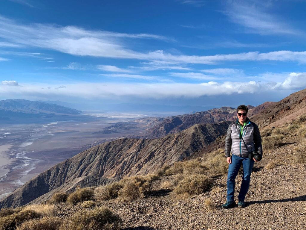
Dante’s View is located on the ridge of the Black Mountains at an elevation of 5,575 ft. A winding narrow paved road leads to the viewpoint. From the viewpoint you have a panoramic view where you can see both the lowest elevation in the park (and in North America), Badwater Basin at 282 ft below sea level and the highest elevation in the park, Telescope Peak at 11,049 ft located in the Panamint range. On a clear day you can also see Mount Whitney (14,505ft), the highest point in the 48 contiguous states. The Owlshead Mountains can be seen to the south, the Funeral Mountains to the north, the Greenwater Range to the east, and the Panamint Range to the west. There were a few short trails that we walked along. It was very windy and the temperature was in the upper 40’s (25 degrees colder than the temperature in the basin).
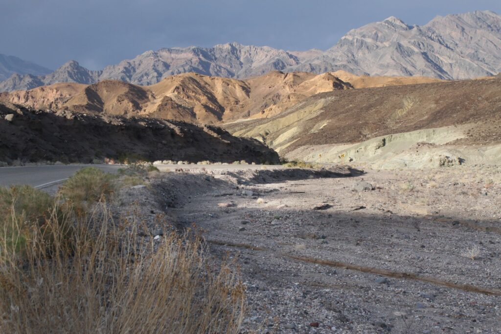
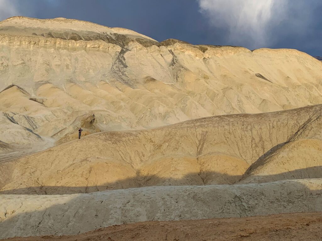
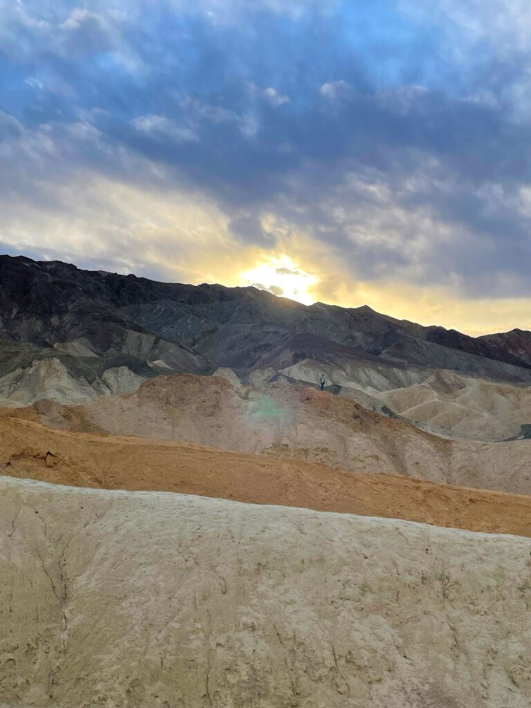
After we got our fill of picture taking, we drove back down the mountain and headed towards the Ranch at Furnace Creek, our home for the next four nights. Before reaching Furnace Creek, we stopped at Twenty Mule Team Canyon. This is a 2.5 mile, one-way traffic, dirt road that weaves thru eroded badlands. Scenes from Star Wars Episode VI: Return of the Jedi were filmed here. The canyon gets its name from the 20-mule teams that hauled 10 ton loads of borax from Death Valley out to the market. Borax was the one ore that actually made money in Death Valley. Borax is a naturally occurring mineral that can be found as an ingredient in cleaning products, as a buffer in chemical laboratories, used in extracting gold mining operations, and as a component in glass and ceramics. We spent some time walking thru the badlands, taking photos and then continued on to our hotel.
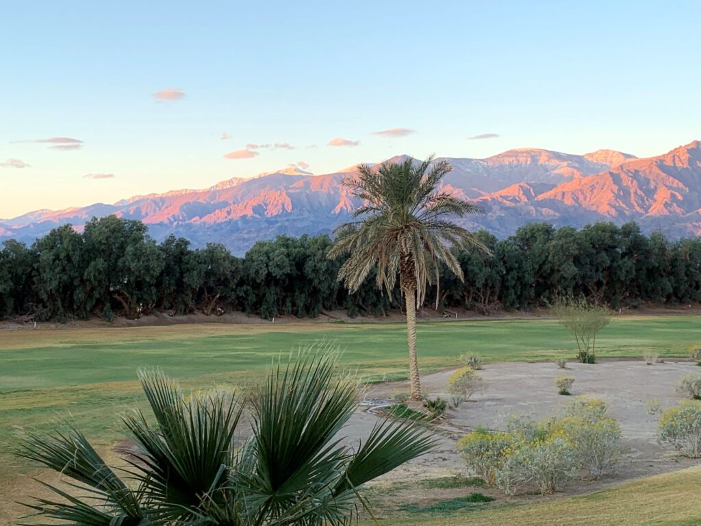
We checked into the Ranch at Furnace Creek. Furnace Creek is one of two “towns” located in Death Valley, the other being Stovepipe Wells. The towns consist of one or two hotels with eating establishments, a campground or two, a general store and a gas station. Furnace Creek is closer to more of the touristy attractions but is also the more expensive area. We knew before we arrived that the cost of food was going to be ridiculous and that was why we stocked up on breakfast and lunch staples in Las Vegas. Our room was on the second floor in building 900 which was the furthest building from the registration/general store area. We looked out over palm trees and the Furnace Creek Golf course with the Panamint range in the background. We weren’t really hungry and decided to grab sandwiches in the General Store, which were actually pretty good. Still on east coast time, it was an early bedtime.
Day 2 – Badwater Basin, Natural Bridge, Devil’s Golf Course, Artist’s Palette, Golden Canyon
I was still functioning on East Coast time so I was awake well before sunrise. Normally at sunrise I focus on the sun rising above the horizon. Out in Death Valley, the magic of sunrise is watching the sun’s first rays light up the mountains in the west. The mountains took on a pink glow. We had a beautiful sunrise all four mornings while staying in Furnace Creek. Ryan missed the sunrise but I don’t think he minded too much, and enjoyed the extra sleep. We ate our standard travel breakfast on the balcony of our hotel room.
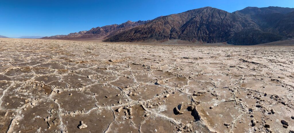
We started our day driving 18 miles south on Badwater Drive to the Badwater Basin parking area. Badwater Basin is the lowest elevation in North America at 282 feet below sea level. There is a sign on the rocks across from the parking lot indicating where sea level is. Badwater Basin is where the world’s highest surface air temperature was recorded on July 10, 1913 at 134 degree Fahrenheit. This record came during an intense 10 day stretch where the high temperature reached 125 degrees or more every day. Badwater Basin was formerly the site of a large inland lake called Lake Manly. The lake water evaporated and left 200 square miles of salt flats composed mostly of sodium chloride (table salt), calcite, borax, and gypsum. We walked about a mile out onto the salt flats to view the geometric salt polygons that are formed as groundwater rises up through the salt deposits and evaporates. From the salt flats we could see Telescope Peak in the Panamint Range to the west and Dante’s View in the Black Mountains to the east.
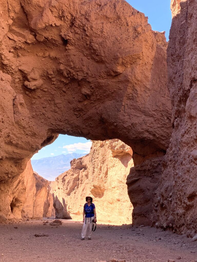
After getting our fill of the salt flats we drove back north on Badwater Drive, stopping at Natural Bridge Canyon. The road to get to the trailhead was a dirt/gravel road that was not in the best shape. This was a relatively easy two-mile roundtrip out and back hike. The hike out was all up hill, but not too steep. About half a mile from the parking lot you come across the main attraction, a 50 ft tall natural bridge. After walking under the bridge and looking back, there was a nice view of the Panamint Range framed in the arch. We continued further up the canyon for another half mile where we had to do some scrambling over rocks and encountered a few dry waterfalls. Eventually we came to a dry waterfall that couldn’t be passed and had to turn around.
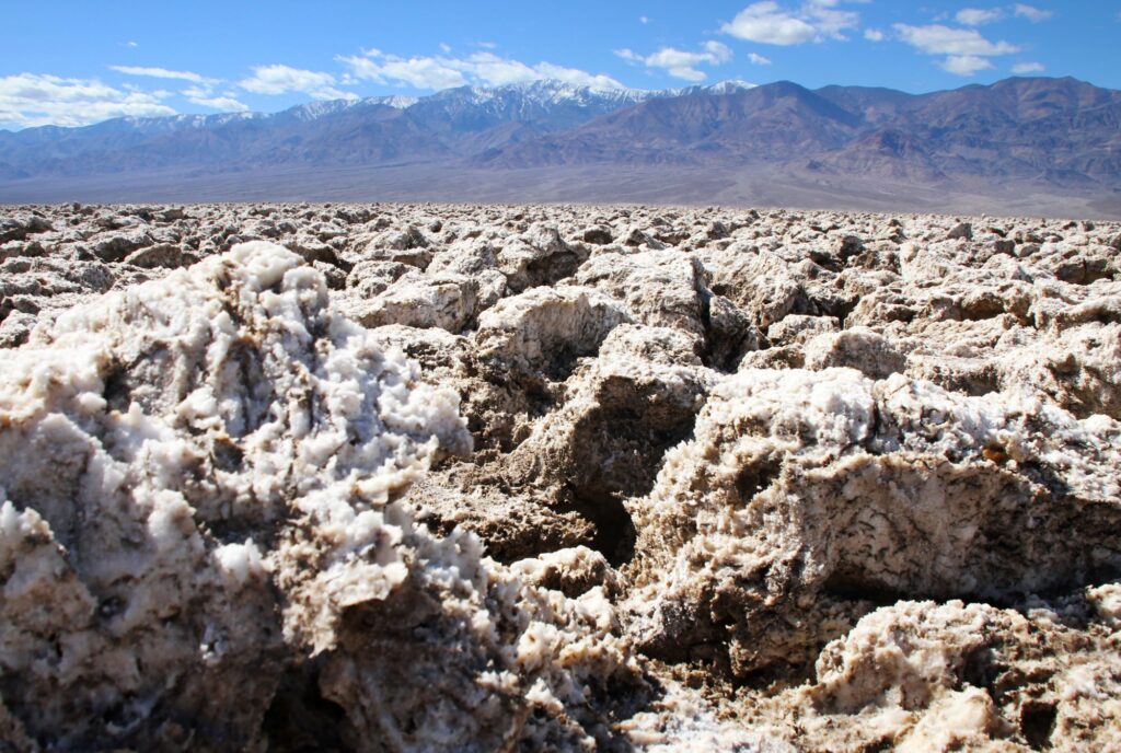
After our Natural Bridge hike, we continued north again on Badwater Drive to our next stop which was the Devil’s Golf Course. The parking area for this attraction was also down a long dirt/gravel road which was in better shape than the one at Natural Bridge. The Devil’s Golf course is a large area in the basin that is made up of eroded rock salt that has formed jagged spires. You can walk freely around the area, but there are many warning signs about the sharp spires. The area got its name because the spires are so sharp that “only the devil could play golf on such rough links”.
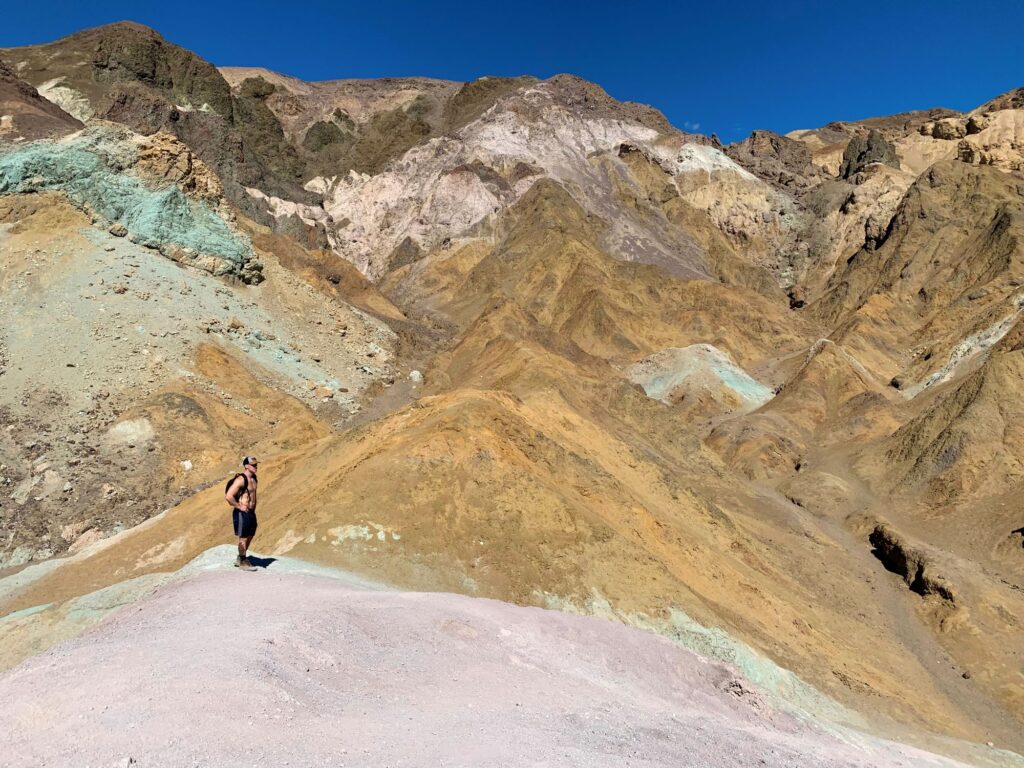
We spent about 20 minutes at Devil’s Golf Course and then continued north again on Badwater Drive to Artist’s Palette. Artist’s Palette is a one-way 9 mile loop that winds thru colorful hills of volcanic deposits that are rich in iron oxides and chlorite and give splashes of green, purple, blue, yellow, orange, and red color. The road is quite curvy and also has quite a few large dips, like riding a rollercoaster. There is a parking lot where you can get out and explore the hills, but there is no established trail. It was about 2:30pm when we exited Artist’s Palette and we decided to go back to the hotel for an hour to relax.
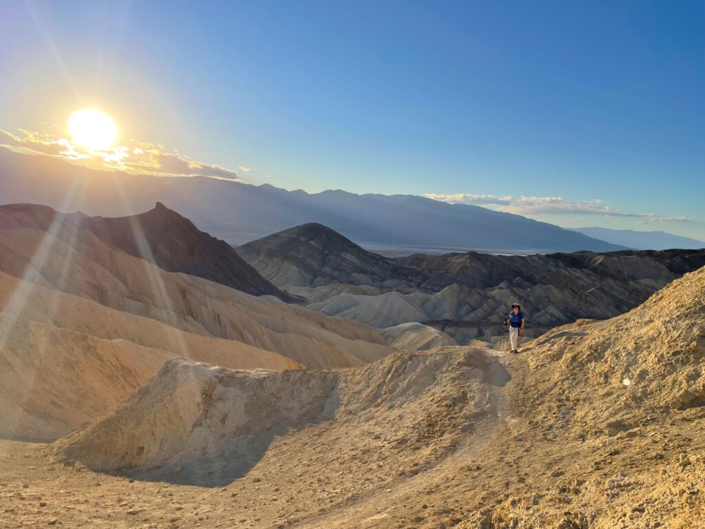
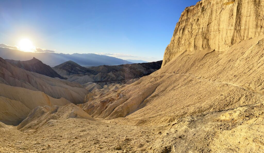
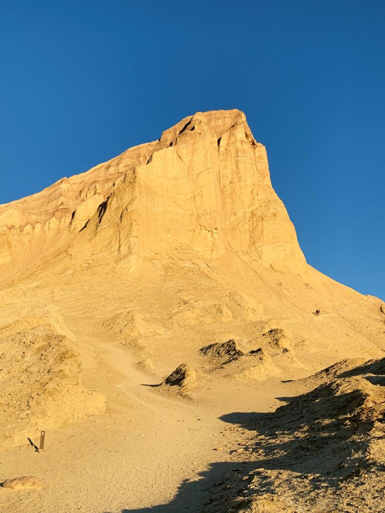
After a power nap we headed back south on Badwater Road to the trailhead for Golden Canyon. We hiked the 4.3 mile Golden Canyon-Gower Gulch loop in a counter clockwise direction. The first 2.2 miles up thru Gower Gulch was a little boring as it basically just follows a large wash. However, the second half of the hike thru Golden Canyon was just spectacular. We reached the highest point on the trail at Manly Beacon just before the sunset. This was my favorite hike of the entire vacation. There is a second loop called the Badlands loop which starts at Zabriskie Point and connects to the loop we were on. We hiked this Badlands loop on the morning of Day 4. For dinner we grazed on hummus and vegetables, chips and salsa, pepperoni, cheese, and crackers, and whiskey sours in a can while gazing at the stars from our balcony.
Day 3 – Ubehebe Crater, Lost Burro Mine, & the Racetrack Playa
We got an early start today as we had to pick up our Jeep rental at Farabees at 8AM. I had reserved the Jeep ahead of time and the pickup went smoothly. The owner was very helpful and gave us many maps and suggestions, knowing that we planned to visit the Racetrack, he suggested that we also stop by the Lost Burro Mine which is about 10 miles from the Racetrack. They gave us a cooler filled with ice and water and they also gave us an SOS satellite beacon and showed us how to use it. They gave Ryan a 10 minute overview of the features of the Jeep and told him that the tire pressure warning would be on the entire time and not to worry about it unless one of the tires got significantly lower than the others. They purposely let air out of the tires when they know you are going on rough, unpaved roads. They showed him the spare tire and jack (thankfully we didn’t have to use it, although it is quite common to get flat tires on the road to the Racetrack!)
We left Farabees, which was located between our hotel and the Visitor Center and headed north on Route 190 towards the town of Stovepipe Wells. Route 190 takes a sharp left to get to Stovepipe Wells, but we continued straight onto Scotty’s Castle Rd. There is a sign warning that the road is closed, however, only the portion of the road leading to Scotty’s Castle is closed. We would be taking a left further north onto Racetrack Valley Rd and would be unaffected. The portion of the road that is closed was washed out by a flash flood in October 2015. In one night 2 ¾ inches of rain fell in this area of Death Valley (a year’s worth of rain in 5 hours). The rain and hail rolled down the slopes of Grapevine Canyon and quickly caused a flash flood headed towards Scotty’s Castle at an estimated 3,200 cubic feet per second. Twenty visitors were stranded near Ubehebe Crater and had to shelter in place on the rim of Ubehebe Crater. While there was damage to Scotty’s Castle, the worst damage occurred to other structures and destroyed the 8 mile long road to the castle. This area is slated to open again to the public in 2023.
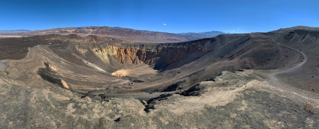
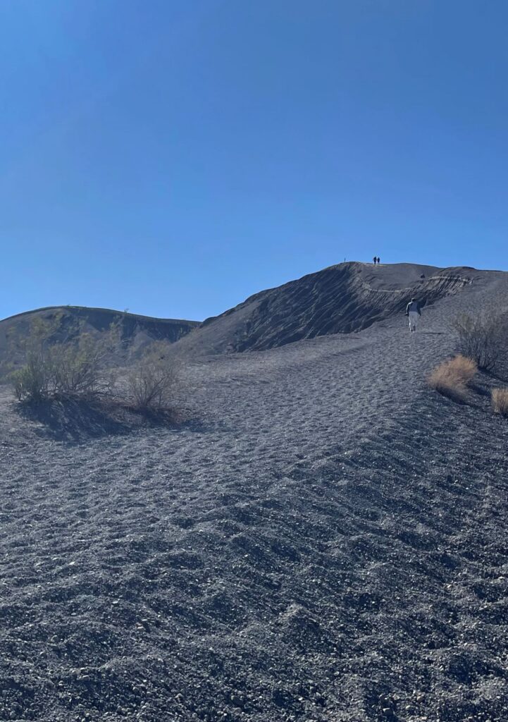
The paved road that we were on ended at Ubehebe Crater. Ubehebe Crater is a 600 foot deep volcanic crater that is half a mile across. This crater is known as a Maar volcano which is created by steam and gas explosions which occur when hot magma from deep below the surface meets ground water. The intense heat turns the water into steam, which then expands and explodes. There were also many cinder fields in the area, it looks like you are on another planet. There is a 1.5 mile trail that circumvents the crater. We chose not to hike this trail as we had other things we wanted to see that day. We did walk up to the highest point of the crater which was a pretty strenuous quarter mile. It was extremely windy around the crater which we were told was quite common.
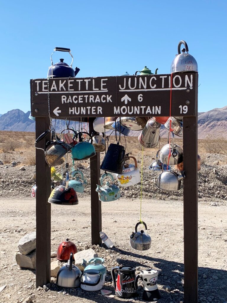
After we got our fill of the crater, we continued on the unpaved section of Racetrack Valley Road. There is a large warning sign upon entering this section (no cell service, $$$$$ towing, no AAA services, 4W drive and high clearance needed). Part of the experience of the Racetrack is the journey itself. It is located 27 miles into the wilderness. We didn’t realize it during the drive, but we actually drove from sea level to an elevation of 3,714 feet. We could only go about 20-25 miles per hour. The Cottonwood Mountains were to our left during the entire drive. After a little while on the road we started noticing a few Joshua trees, then a few more, and then a forest of them. We would later learn (while in Joshua Tree National Park) that Joshua trees only grow at an elevation between 3,000-4,000 feet and that that is a good way to estimate your elevation. Six miles before we reached the Racetrack Playa, we came across Tea Kettle Junction. We took a few photos there and then took a detour left towards Hunter Mountain to go visit Lost Burro Mine. We continued on this dirt road for another 3 miles before turning right onto an unmarked road. This road was very rough and steep and went on for approximately one mile before reaching the mine.
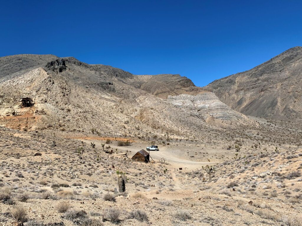
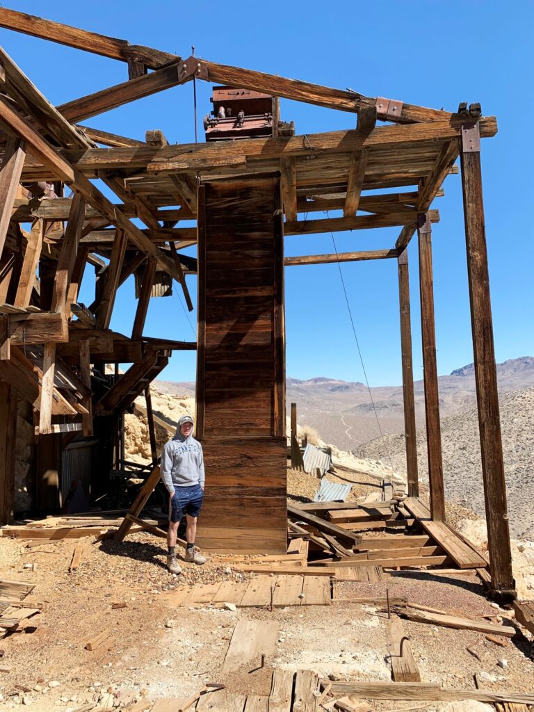
The Lost Burro Mine was founded in 1907 by Bert Shively who went searching for his missing burro. He found him in a remote canyon and picked up a rock to throw at him but never threw the rock because he discovered it was laced with gold. The mine was worked, off and on through the 1970s. There is a cabin, an outhouse, a mine, a stamp mill and well preserved artifacts on the property. It was quite eerie being in such a remote spot. We spent about an hour walking around the property. Not even 3 minutes after leaving the property and heading back down the steep road, we encountered another Farabees jeep coming up to the property. We were at a stalemate as there was no place for either jeep to turn around. Since we were closer to the property than the other jeep was to the start of the road, Ryan put his valeting skills to the test and drove the jeep in reverse back up the steep winding road to the property. Problem solved. The rest of our journey back to Tea Kettle Junction and then onward to the Racetrack was uneventful.
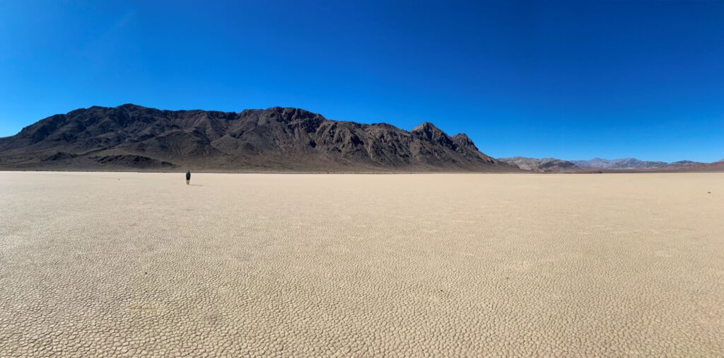
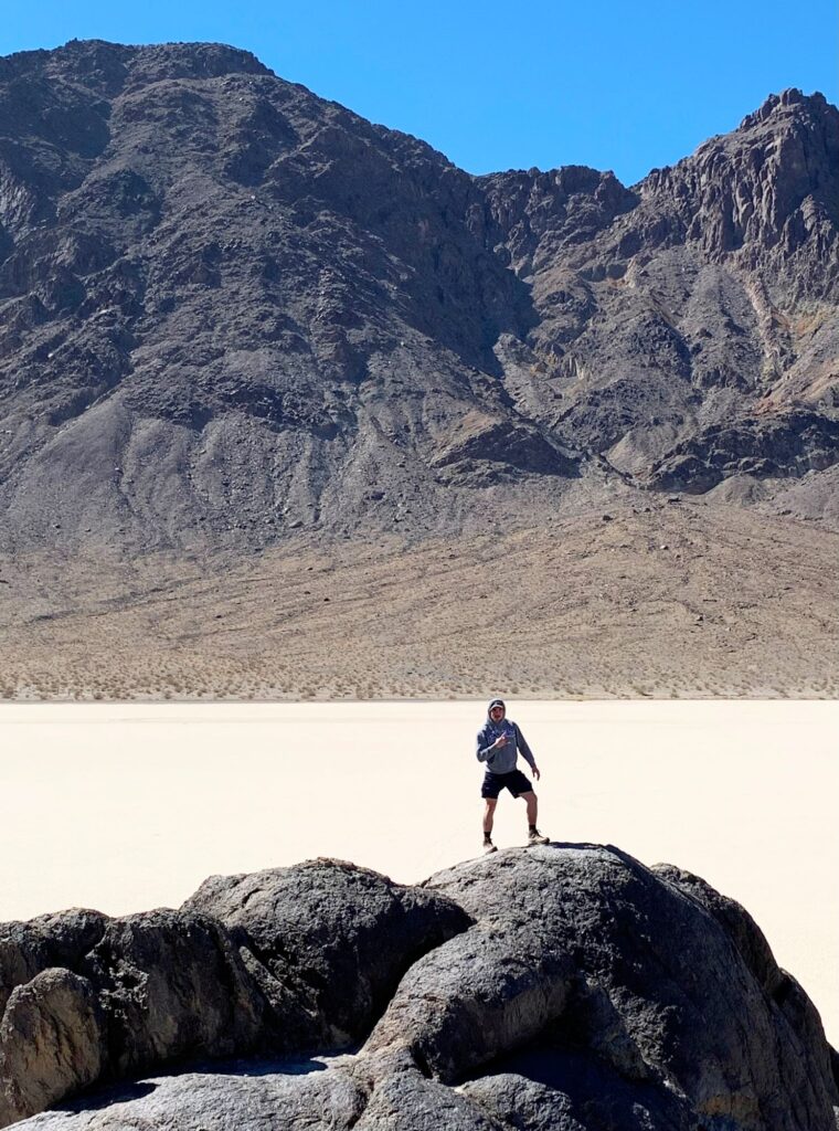
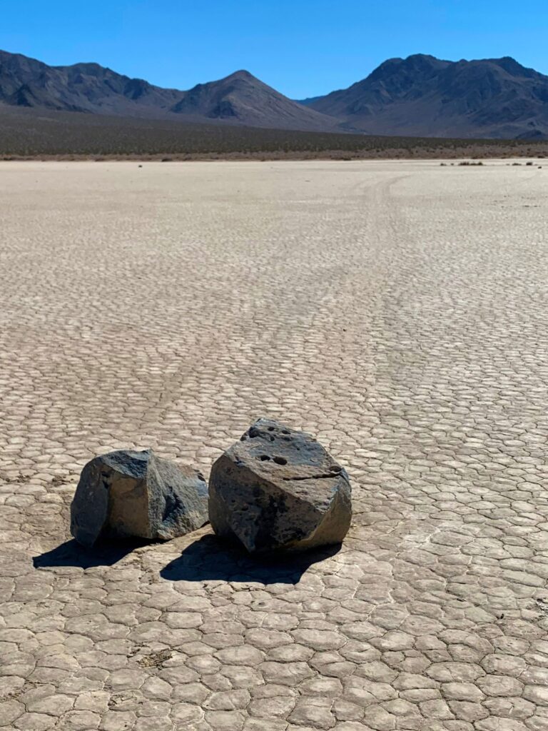
When we reached the Racetrack we first parked at the north end of the playa at the Grandstand and had a picnic lunch. The Racetrack playa is 2.8 miles long and 1.3 miles wide. The Grandstand is a large outcropping of igneous rocks which appear black in contrast to the light clay colored playa. The Grandstand can be easily seen from aircraft flying within 100 miles. While climbing on the rocks at the Grandstand we could hear the fighter jets flying in the canyons nearby. At one point the noise of the jets got extremely loud and we were fortunate enough to see the jets fly directly over us (Ryan captured it on video). After visiting the north end of the playa, we continue onward to the southern end where the mysterious “sailing stones” are located. The “sailing stones” are rocks that seem to drift across the playa, seemingly propelled by no power other than their own, leaving trails behind them. In 2014 the mystery behind the stones was uncovered and involved ice, water, and wind. After a rain a small pond formed on the playa and froze overnight. It thawed the next day, creating a thin sheet of ice. This sheet of ice broke up and accumulated behind the stones and a light wind pushed them forward. We found a few of these sailing stones. The trails are better viewed later in the day when the sun is low in the sky. After walking out on the playa and photographing the stones, we started the journey back to civilization.
Once we reached the paved road we re-traced our route back towards Furnace Creek. We decided to stop at the exit of Titus Canyon. Titus Canyon is a 27 mile one-way road that winds thru the Grapevine Mountains and is known as one of the great backcountry roads in the US. The last 2 miles of the drive allows for two-way traffic. We drove this last two miles up to a parking area and then walked a mile into the Titus Canyon Narrows. While impressive, I believe it would have been more impressive driving thru in a car.
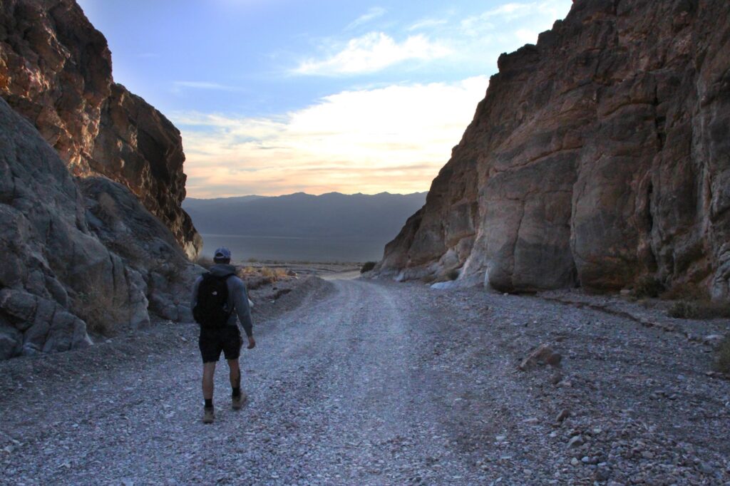
After leaving Titus Canyon we stopped in Stovepipe Wells to fill up on gas which was over $6.50, but still less expensive than in Furnace Creek. We decide to eat dinner at the Badwater Saloon in Stovepipe Wells. The food was reasonably priced here, with a limited menu. We returned the jeep and were back at the hotel by 8pm. It was a wonderful day.
Day 4 – Zabriskie Point, Harmony Borax Works, Salt Creek Interpretive Trail, Keane Wonder Mine, Mosaic Canyon, & Mesquite Dunes
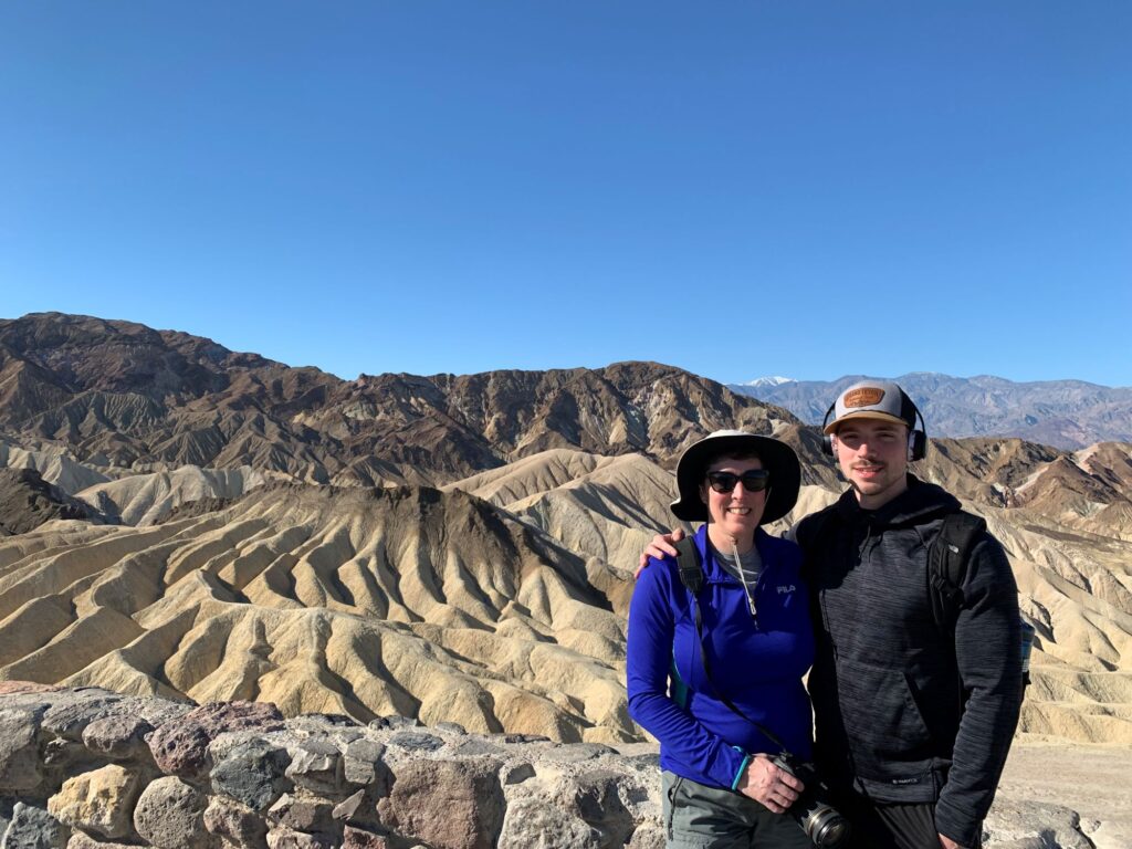
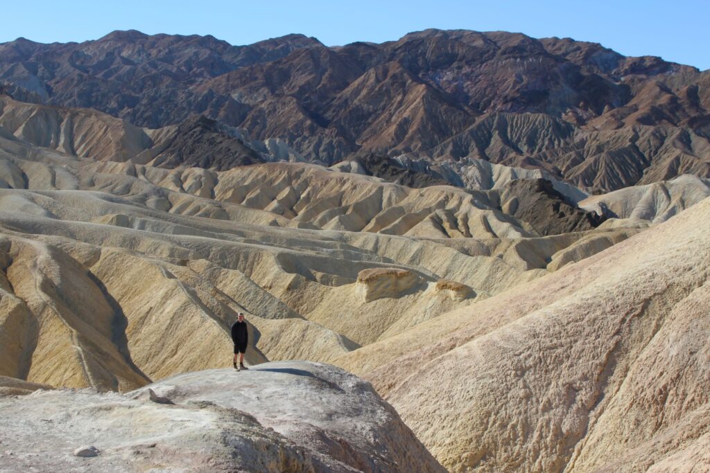
This morning we started our day at Zabriskie Point. Zabriskie Point looks out over the badlands, the salt flats, and the Panamint Mountain range. The most prominent feature in the badlands is Manly Beacon, jutting up to an elevation of 823 ft. We walked along the side of Manly Beacon on Day 2 when we hiked the Golden Canyon – Gower Gulch Loop. We took pictures from the viewpoint and then hiked down into the badlands to complete the Badlands Loop (2.5 miles).
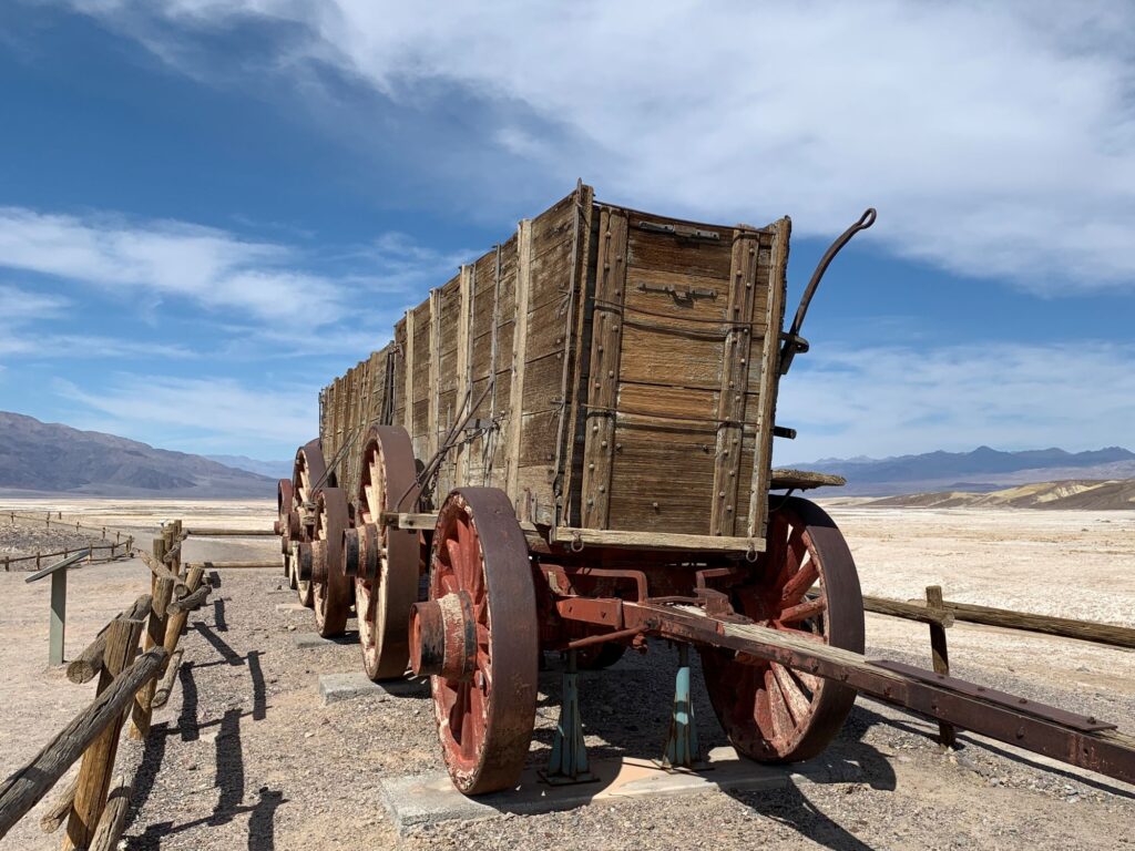
From Zabriskie Point we drove back past our hotel and stopped at the Death Valley National Park Visitor Center where there are some interesting exhibits. We continued on to the Harmony Borax Works where there are well preserved relics from the borax plant. Borax was known as the “White Gold of the Desert” and was the valley’s most profitable mineral. The Harmony plant was built in 1881 and began to process ore in 1883. It employed 40 men who produced three tons of borax per day. These workers were paid $1.30/day less the cost of lodging & food. It was too hot during the summers to process the borax because borax will not crystallize in temperatures over 120F, so the workers were relocated during the summer months to a different plant. The finished product was transported to Mojave using “20-Mule Teams” which pulled double wagons full of borax. These “20-Mule Teams” are still the symbol of the borax industry in the USA. The Harmony plant was only in operation for five years. There is a quarter mile interpretative trail around the area with interesting information about the borax industry.
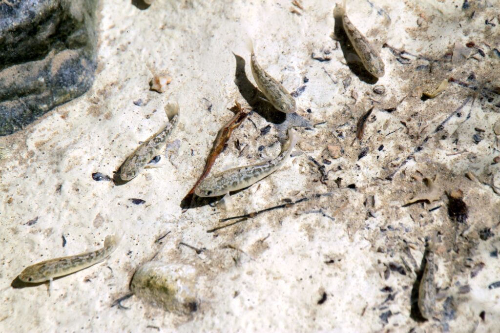
Continuing north, we stopped at the Salt Creek Interpretive Trail, a half mile boardwalk trail along Salt Creek. Salt Creek only flows from November thru May. From Feb-May, the California pupfish spawn in this creek, they then head up creek to the spring-fed source before the creek dries up in the summer. These fish have adapted to living in such a harsh environment where the water is 2.5 times saltier than the ocean and the water temperature can reach 107F. They are called pupfish because of their playful, puppy-like behavior. It was fun watching them.
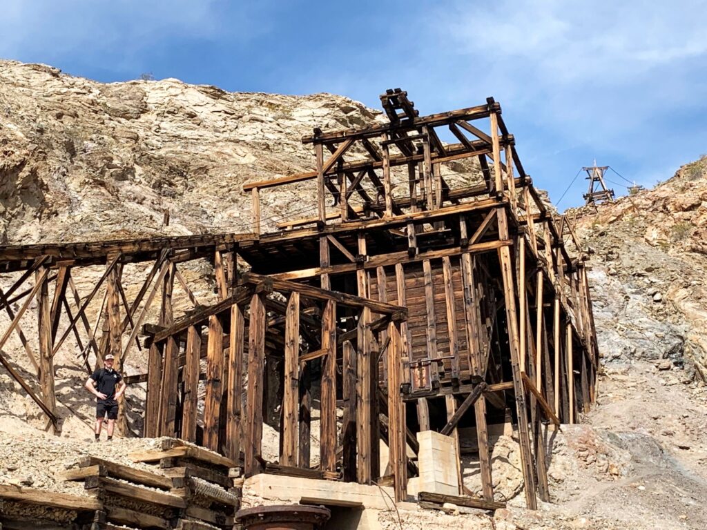
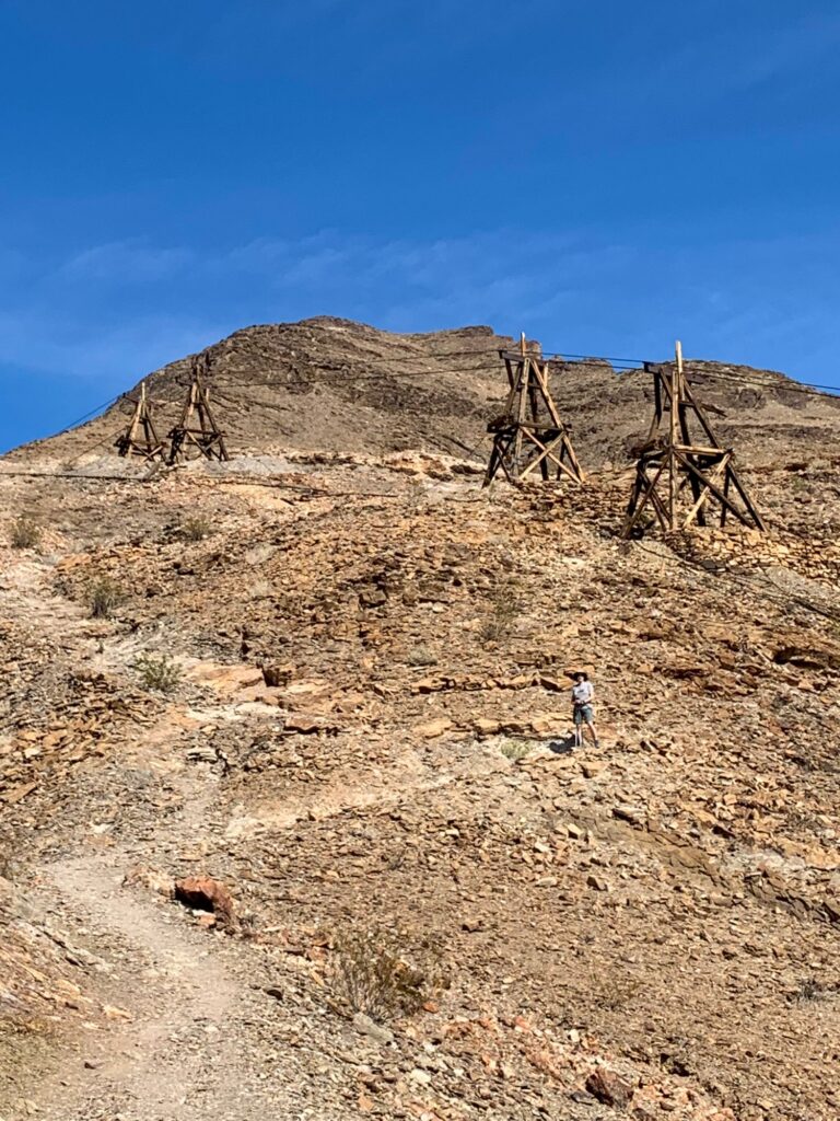
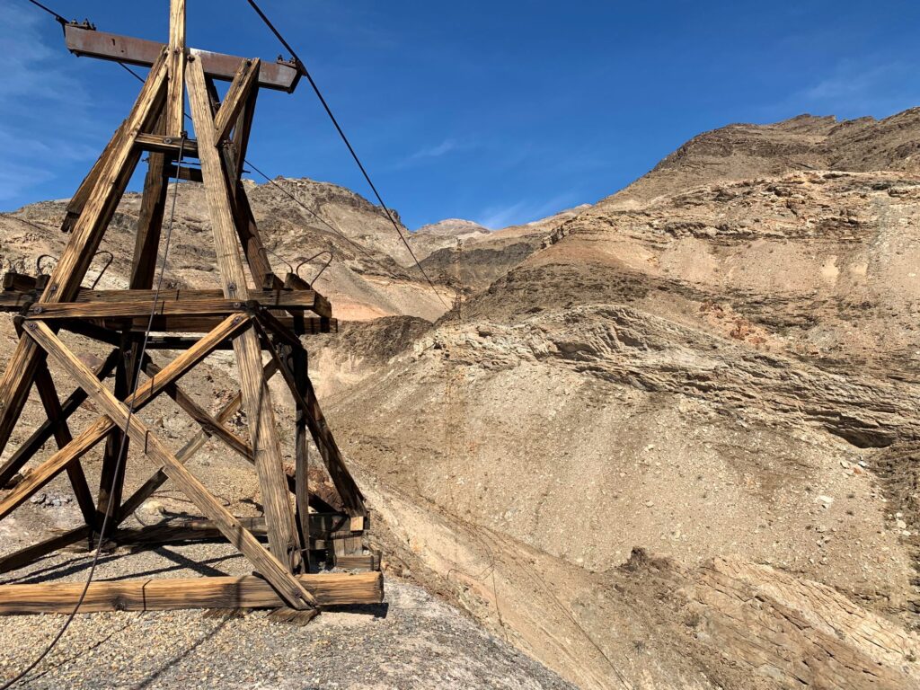
We spent about thirty minutes walking the boardwalk and then continued driving north to our next destination – the Keane Wonder Mine. The Keane Wonder Mine was one of the most successful gold mines in Death Valley. It is located in the Funeral Mountains. The location was discovered by both Jack Keane and Domingo Etcharren. In addition to the mine there is a gravity-powered aerial tramway and a stamp mill that was built on site. We hiked up to some of the tramway ruins. Ryan was very intrigued by all of these mines on our trip. We spent a good hour exploring the area. The road to get to the parking area was pretty rough and we were thankful we had the Ford Escape.
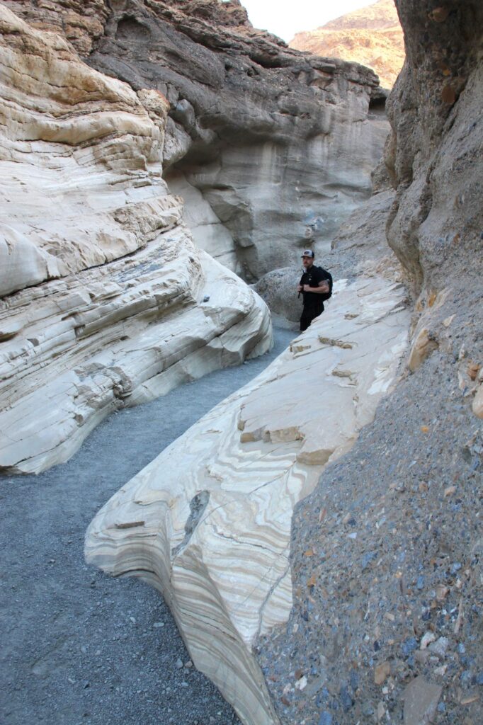
We had two more stops before our day ended. Our second to last stop was Mosaic Canyon which was just past Stovepipe Wells. There is a 2.3 mile unpaved , gravel road to get to the parking lot for the canyon. The Mosaic Canyon trail is a 4 mile out and back, round trip hike. Immediately after starting the hike, the canyon walls abruptly narrow. The walls are made of Noonday Dolomite and appear as smooth marble. They are quite slippery. The canyon gets its name from the Mosaic Canyon Breccia which is made up of small triangular fragmented rocks stuck in a natural cement. Approximately 1.3 miles into the canyon we came across a large boulder dam. We were able to find a small passage thru the boulders and continued on. We then came across a 20ft dryfall. There was a detoured path off to the west to circumvent this obstacle. Even though we were able to get around this obstacle, we decided to turn around at this point because we wanted to get to our final destination before sunset.
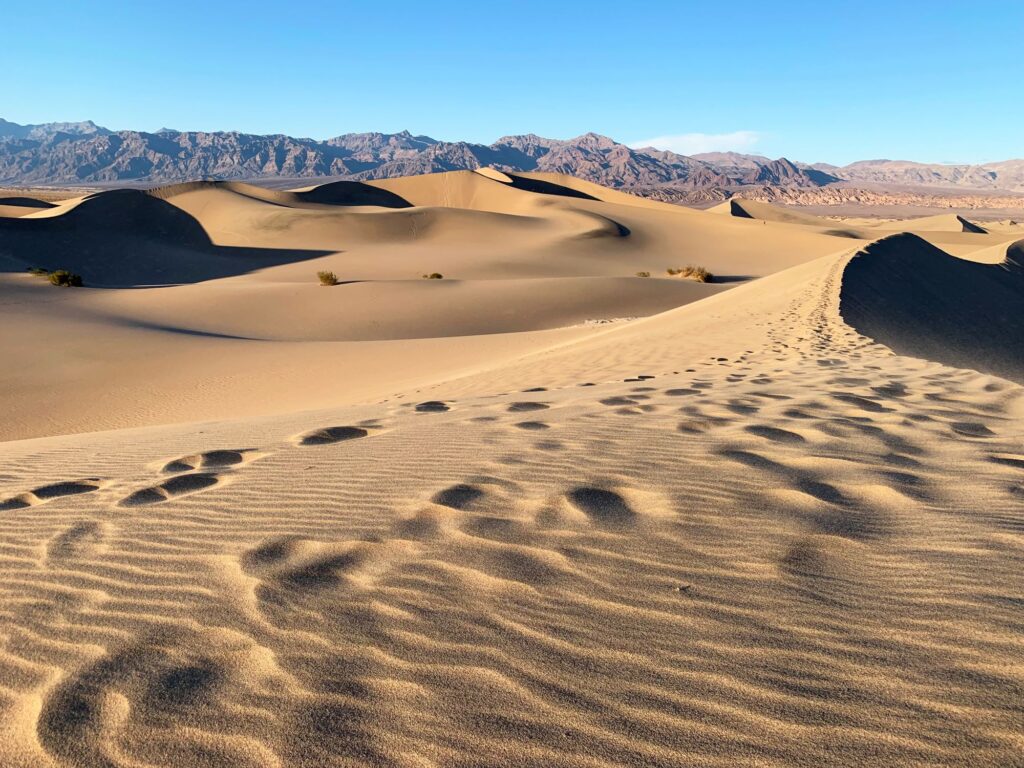
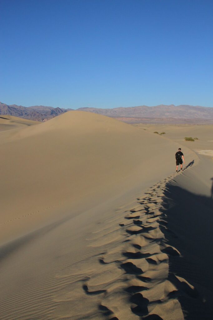
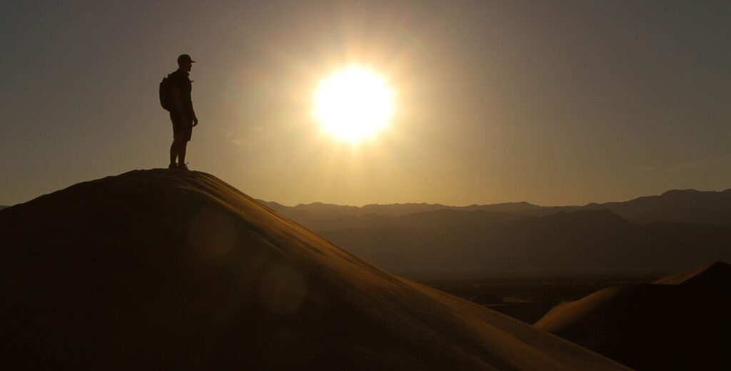
Our final destination was the Mesquite Flats Sand Dunes. They were located only a few miles from Mosaic Canyon. Hiking the dunes was the most strenuous hiking we did the entire trip. I finally had to give up before reaching the highest dune (approx. 1 mile out) and was content to just sit in the sand and photograph Ryan on this journey. It was magical watching the sun’s rays on the dunes and all of the shadows that were forming. There is another area of sand dunes in the northern part of the park called the Eureka Dunes. Eureka Dunes are the tallest dunes in California and rise more than 680 feet above the dry lakebed. I would love to come back and visit them. We waited until the sunset and then hiked back to the car. Upon reaching the car we emptied about 5 pound of sand out of our shoes. We bought sandwiches at the General Store in Stovepipe Wells and drove back to our hotel to eat them on our balcony. It was another great but exhausting day.
Day 5 – Hidden Valley & Lost Horse Mine, Joshua Tree National Park
This morning we checked out of The Ranch at Death Valley and began our journey south to Joshua Tree National Park. The drive took about 4.5 hours, and was really not all that scenic. We drove thru the Mojave Desert with minimal traffic. We entered the park thru the West Entrance in the town of Joshua Tree. There are three entrances to the park: the West Entrance, the North Entrance (in the town of Twentynine Palms), and the South Entrance off of route 10. Two distinct deserts come together in Joshua Tree National Park, the low desert (the Colorado Desert) and the high desert (the Mojave desert). The towns of Joshua Tree and Twentynine Palms are connected via Route 62, 29 Palms Hwy. This road is quite developed with lots of stores, restaurants and gas stations. We would be spending the night in Twentynine Palms at The Rancho Dolores Motel.
After entering the park we drove to Hidden Valley. Hidden Valley is a beautiful area with a one mile interpretive loop trail that winds thru interesting rock formations, cactus and Joshua trees. It is a popular spot for rock climbers (as is most of Joshua Tree National Park). We spent about 40 minutes walking thru the area, it was one of the more crowded areas we had encountered on the trip.
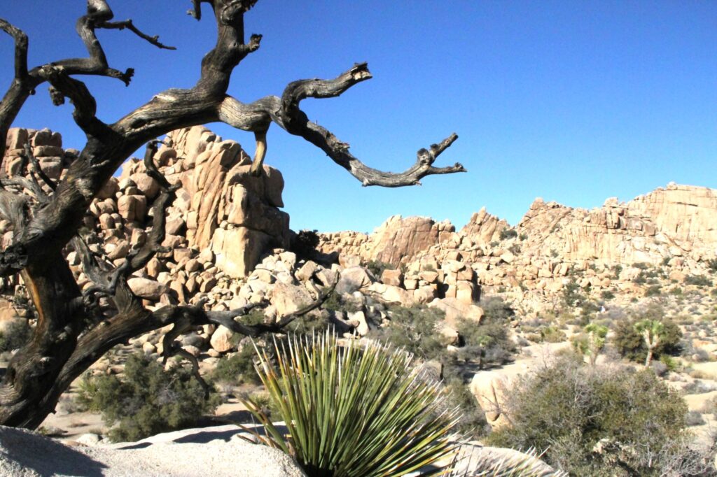
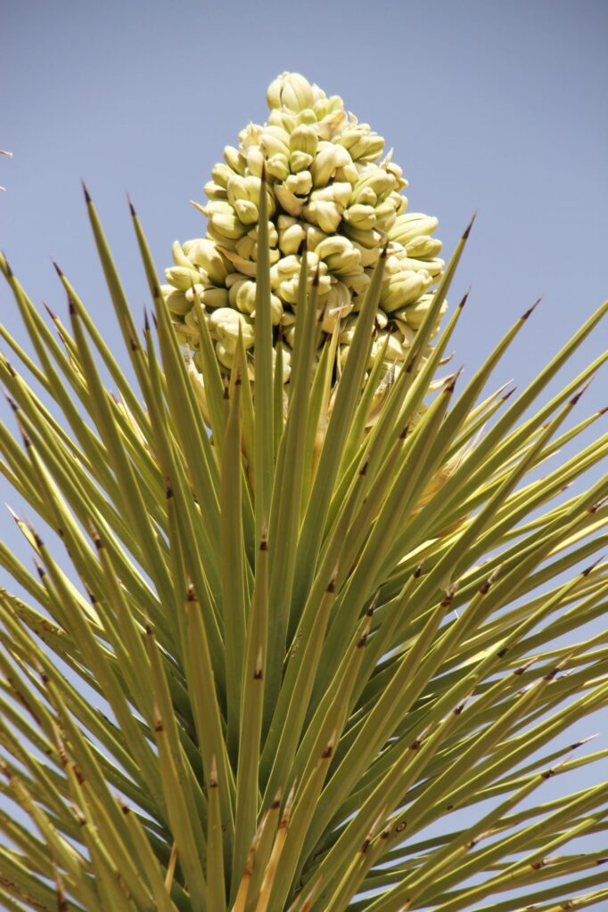
After leaving Hidden Valley we drove over to the trailhead for Ryan Mountain. The original plan was to hike to the summit of Ryan Mountain (the highest peak in the park at 5,457 ft). There were supposed to be a lot of steps involved in the climb but it also appeared that there might be some places with steep drop-offs. Ryan was not sure he would be able to complete the hike, so we decided against it, or at least tabled it until the next day. We considered our options and since Ryan had become so interested in the mining industry in Death Valley, we decided to hike to Lost Horse Mine. It was getting to be late afternoon, so we were limited on time. We decided to do the easier out and back 4 mile trail directly to the mine instead of completing the entire 6.8 mile loop. The hike is rated as moderate. We scrambled up to the Lost Horse Mountain summit above the mine at 5,313 ft (only 144 ft lower than Ryan Mountain). The mine has been well preserved and there is a fence around the perimeter. There are some other mining relics you can get close to outside the fence. The mine was a very successful mine producing more than 10,000 ounces of gold and 16,000 of silver in its 37 years of operation. The mine was closed in 1937. We made it back down to the parking lot just before sunset.
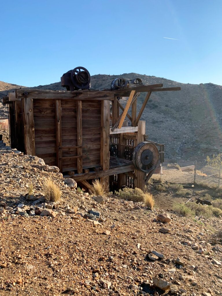
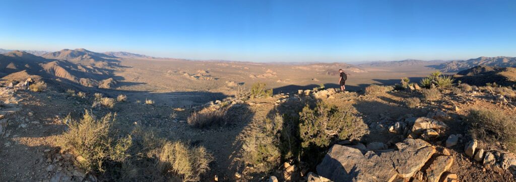
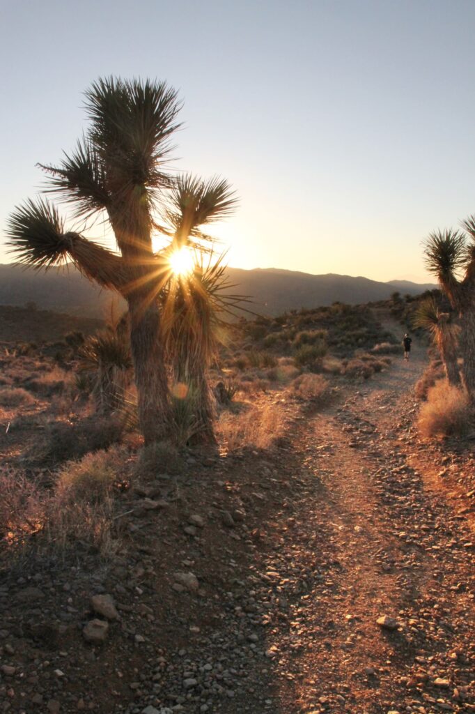
We continued back north and then east thru the park and exited at the North Entrance. We checked into our motel which was pretty basic, but clean. I asked the woman at the front desk if she could recommend any restaurants in the area. She asked if we liked Mexican food (we were only 2.5 hours from the Mexican border) and then suggested “Edchada’s”. It was a very good choice, it was very crowded and reminded me of a Mexican sports bar.
Day 6 – Cholla Cactus Garden, Arch Rock, Split Rock, & the Mojave Desert National Preserve
The final day of the trip we started out early and entered Joshua Tree National Park thru the North Entrance. It was not busy, so we had time to get out and take the obligatory photo of us at the national park sign. We continued to drive south thru the park thru Wilson Canyon, dropping about 1,900 ft in elevation from 4,300 ft to 2,200 ft. The landscape changed as we left the high desert (Mojave) and entered the low desert (Colorado), the Joshua trees disappeared, and we saw more cactus. After approximately 12 miles, we reached the Cholla Cactus Garden. There is a quarter mile easy hiking loop thru the garden. The cholla cactus has been nicknamed “the teddy bear cactus”. I’m guessing this is because of its appearance but it is definitely not something you want to cuddle up with. This cactus has a defense mechanism that causes its spines to latch onto anything at the slightest touch. This is not a pleasant experience and there are many warning signs alerting you to stay on the trail.
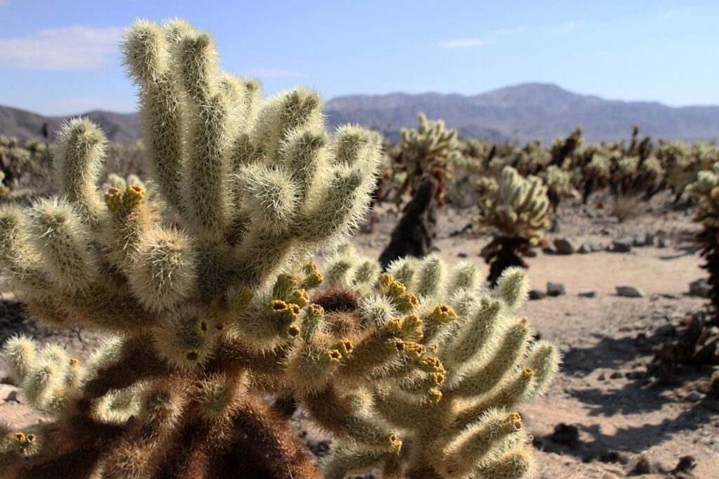
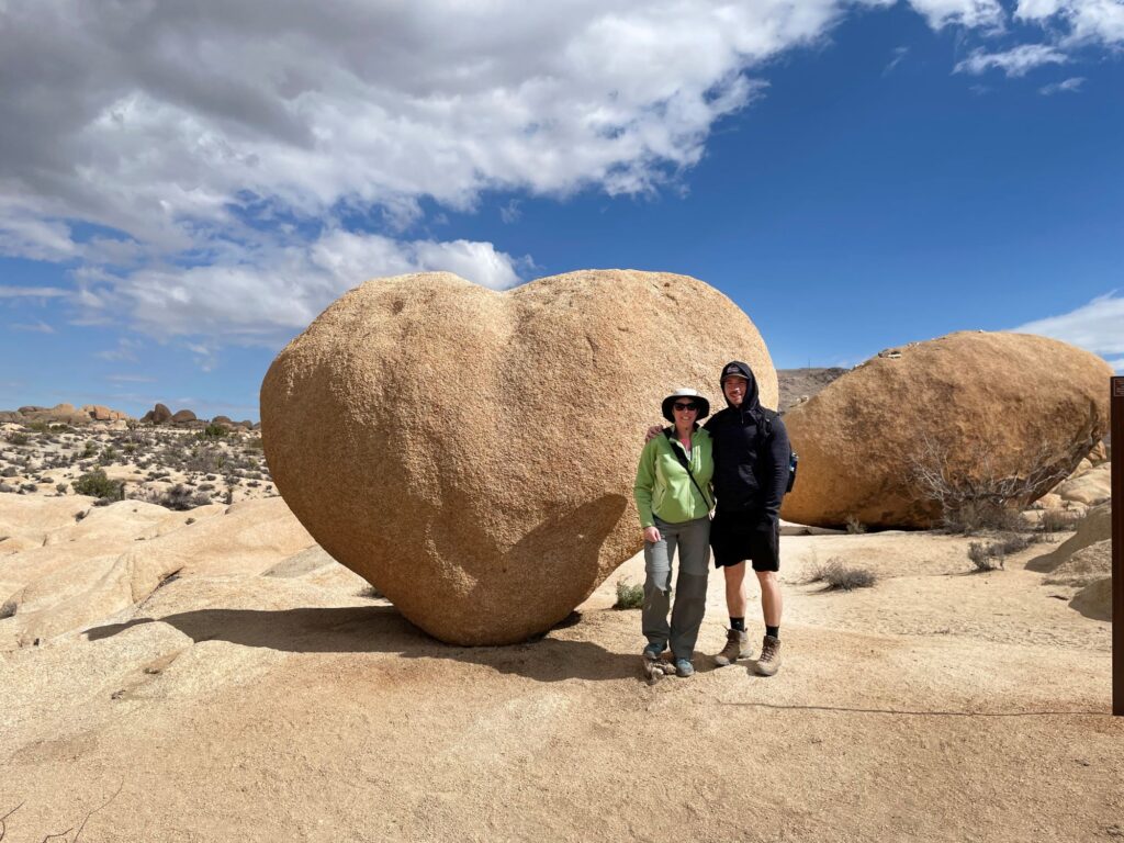
After posing with the cacti, we turned around and headed back north, along the same road to the parking lot for the Arch Rock hike. The Arch Rock hike is an easy 1.5-mile lollipop trail. Before reaching Arch Rock, we took a slight detour off to the left to see Heart Rock. We then backtracked a little and went over to Arch Rock. There are a lot of interesting boulders in this area. It was very windy this morning and the sky turned quite threatening looking; however, we had no rain.
From the Arch Rock parking lot, we continued north and then west to the Split Rock Hike parking lot. The trail is named for the very large split rock (not sure exactly what caused this) at the start of this 1.9-mile loop trail. The trail is very popular with rock climbers, although we did not see any. There are many unique rock formations along the trail, especially if you use your imagination. There were plenty of cacti along the trail and apparently it is a very pretty area when the desert blood occurs. We passed many Monzogranite boulders with “dikes” in them. The “dikes” are formed when molten rock was pushed into fractures in the boulders. They appear as if they were man-made and have been described as looking like “broken terrace walls”. There is spur off the trail to Skull Rock but we decided to just drive there after completing the loop. We had a quick picnic lunch in the parking lot after completing the hike and then drove over to Skull Rock for some photos.
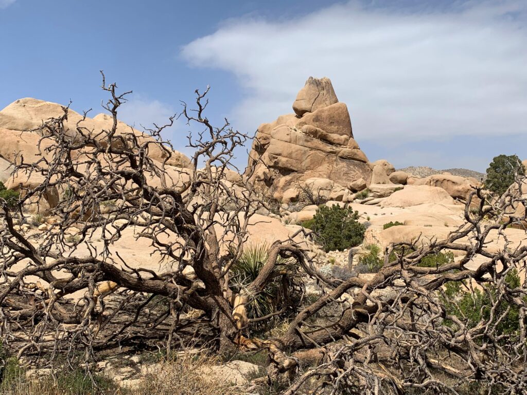
The wind had really picked up at this point and although it was sunny, the visibility into the mountains was getting pretty poor. We decided to start our journey back towards Las Vegas at this point since we had visited most of the highlights of the park. We enjoyed our visit but we both agreed that we think this park is geared more to campers and rock climbers. We are glad we visited but don’t feel that we would put this park on our list of “must return parks”.
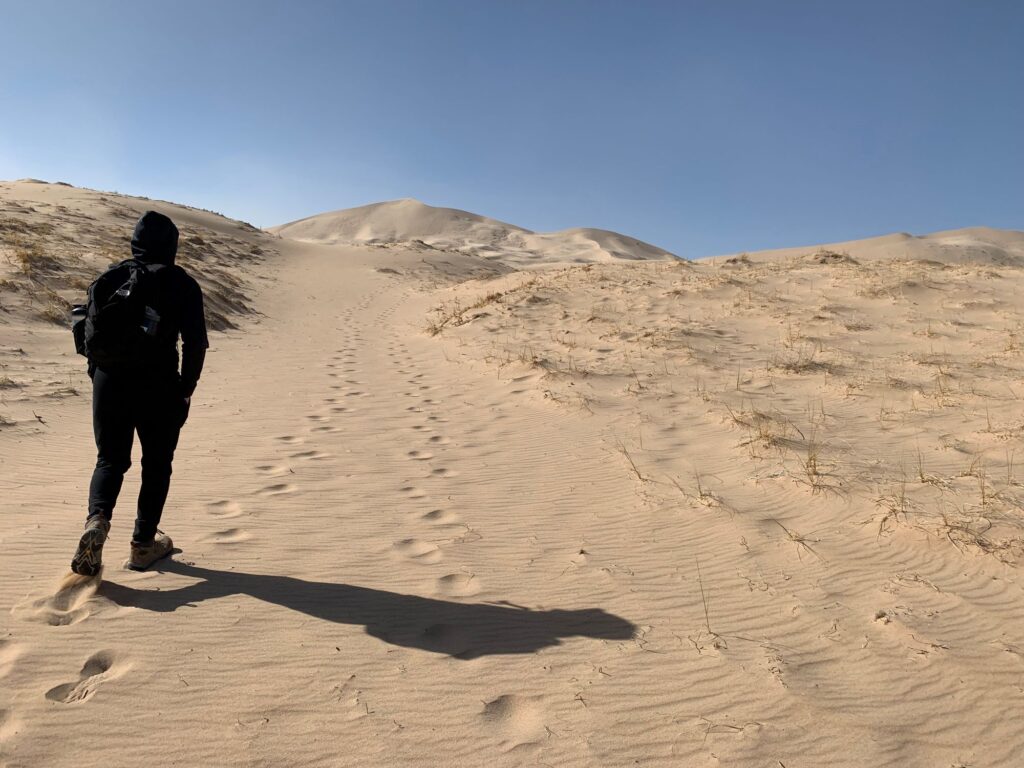
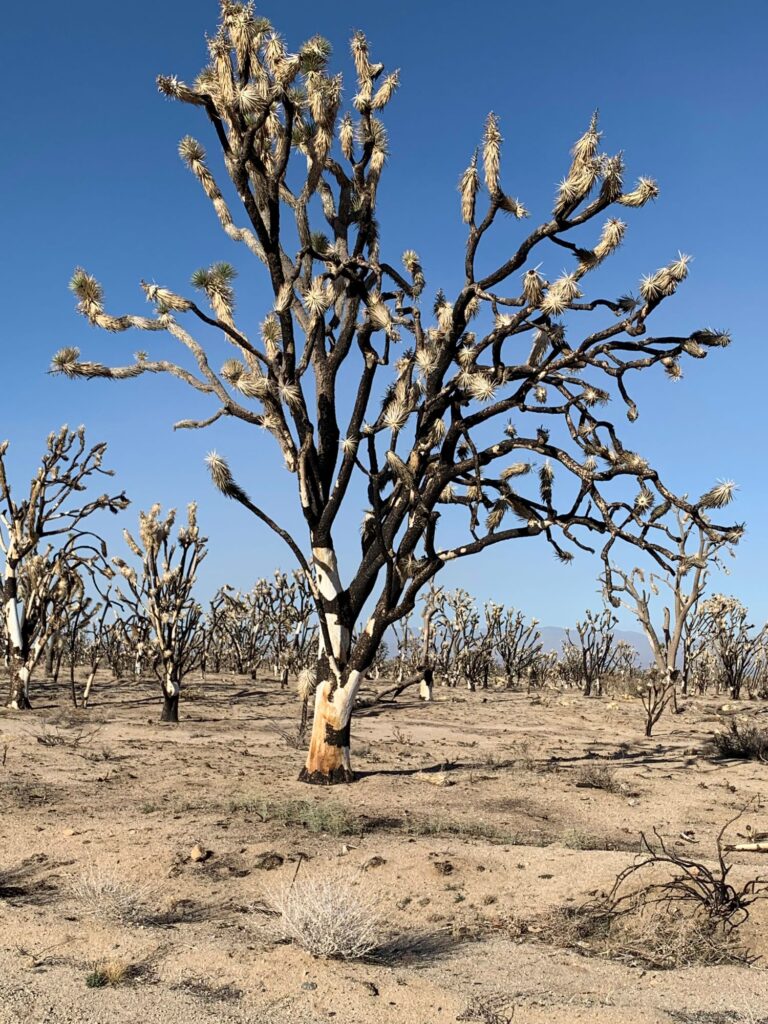
The drive from Joshua Tree National Park back to Las Vegas was quite desolate and unique. We spent a large portion of time driving thru the Mojave Desert. We were even on the famous Route 66 (National Trails Hwy) for a short time (6.6 miles). We passed by Bristol Lake which is a dry lakebed located near the Mojave Desert Preserve. This is one of the sources where our table salt comes from. We could see the mining operations of the National Chloride Co. of America. We did make a stop along this route in the Mojave Desert Preserve to visit the Kelso Dunes. These dunes are over 600 ft tall. We drove out on a very rough 3-mile road to the parking area. As mentioned previously, it was extremely windy and when looking at the top of the dunes it reminded me of a video of the snow coming off the peaks in the Himalayas. We walked out about 0.5 miles but decided that we would not have enough time to hike to the top of the dunes, so it wasn’t worth going any further given the windy conditions. We returned to the car and continued thru the Mojave Desert Preserve. As we were leaving the preserve, we encountered an area that appeared to have been burnt out. Apparently, there was a wildfire in this area in August of 2020 that destroyed over 43,000 acres and killed over one million Joshua Trees. The fire was started by lightning. Adequate fire fighting resources could not be supplied to fight this fire because there were so many other California wildfires burning at the same time. These other wildfires were threatening populated areas, so that is where the resources went. Deserts do not recover very well from fire, unlike other areas. When desert fires occur, invasive species will sometimes takeover.
We arrived back in Las Vegas around 5:30PM. We went to Town Square Las Vegas, an outdoor shopping plaza (the same plaza where we started our trip at Whole Foods) at the southern end of The Strip. We had a leisurely dinner at Yardhouse. We arrived back at the airport around 8PM for our 11:50pm red-eye flight back to the East Coast. Our flight left on time and was uneventful. It was a wonderful vacation, I would love to return to Death Valley someday, there is so much more to see!!
