New River Gorge National Park & Preserve became the United State’s 63rd and newest National Park on December 27,2020. It had previously been designated as a National River back in 1978. The park is located in southern West Virginia along the New River and encompasses over 70,000 acres. It is home to one of the oldest rivers in North America and home to one of the most biodiverse forests on the continent. While smaller in size than its closest neighbor national parks (Great Smoky NP and Shenandoah NP), there is quite a bit of driving to see the park, including interstate highways. Back in May 2023 I had the chance to discover this park while on a 9 day road trip visiting family in Pennsylvania, Tennessee, and North Carolina.
The park has 4 main area: the Canyon Rim/Bridge area, Thurmond, Grandview, and Sandstone. I listed these areas based on their location in the park, north to south. Additionally, white water rafting the New River is a very popular activity. I visited 3 of the the 4 areas, missing out on the historic Thurmond area.
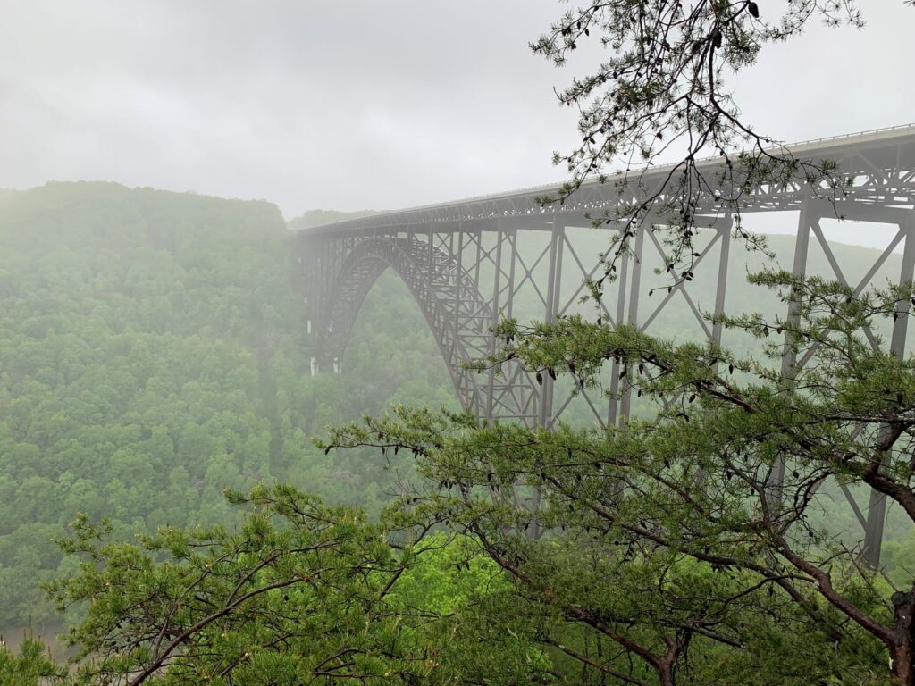
The Canyon Rim/Bridge area includes the New River Gorge Bridge and Fayette Station Road scenic drive. There are a lot of nice hikes in this area. Additionally, there are is a lot of rock climbing opportunities.
The Thurmond area is a historic railroad town with preserved structures. Thurmond was a boomtown in the late 1800’s thru the 1920’s due to the coal mining industry. History afficionados should definitely visit this area.
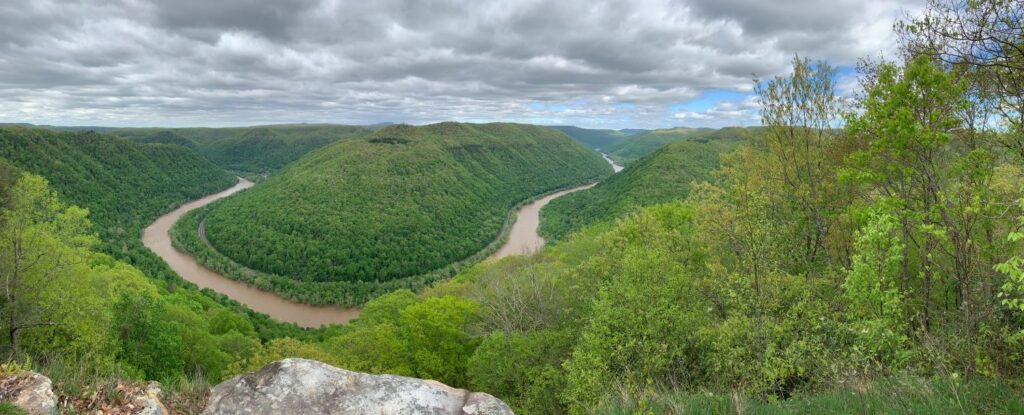
Grandview was originally part of the West Virginia State Park system. It is located 1,400 ft above the New River and gives expansive views of the area along the rim. There is a nice hike along the rim.
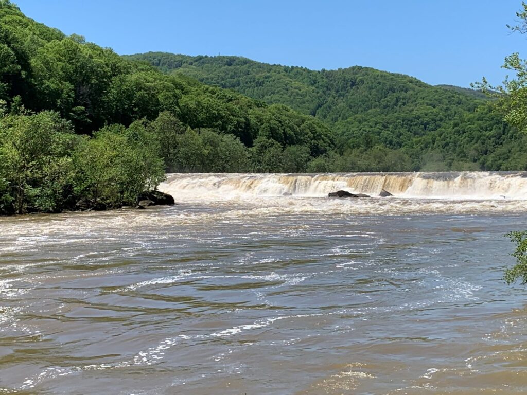
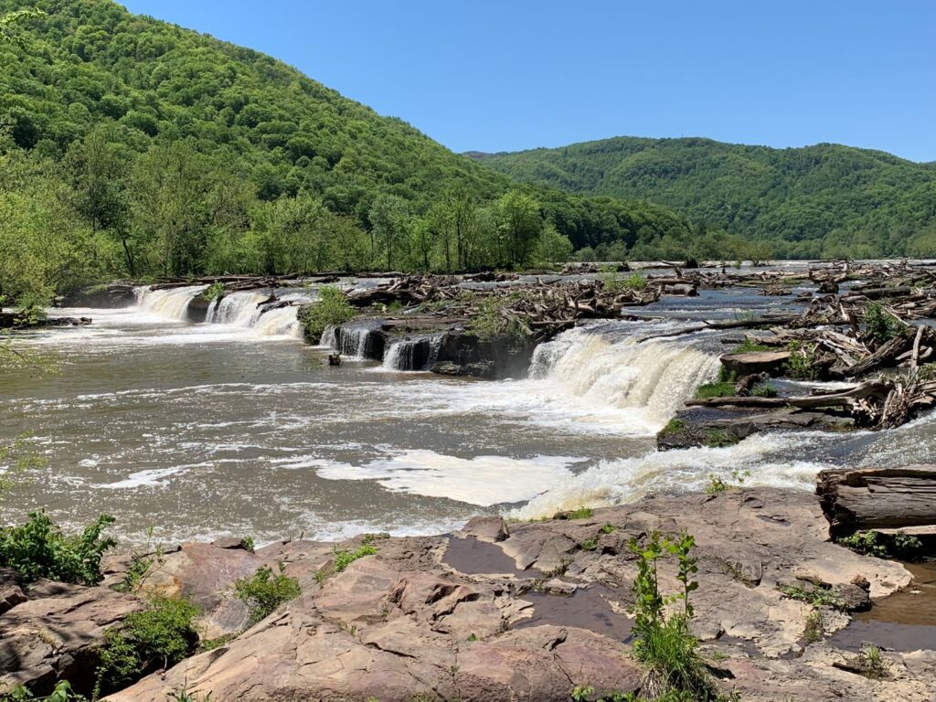
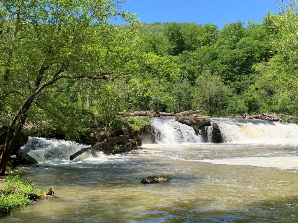
Sandstone is the furthest south area of the park and is a bit of a drive. The hallmark of this area is Sandstone Falls which drops 15-25ft over some islands located in the river. There is a nice, short interpretive walk located at the falls viewing area.
Below are the highlights of my visit listed in the order that I visited.
Canyon Rim Visitor Center
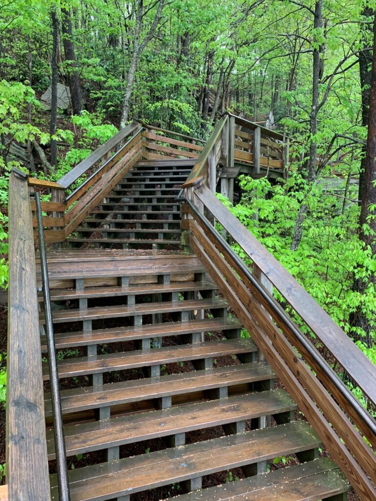
This is the primary and largest visitor center in the park with plenty of space for parking. The visitor center has exhibits and a nice gift shop. There is a short interpretive boardwalk trail (with plenty of steps) that leads down to a few viewing platform areas of the New River Gorge Bridge.
Fayette Station Road (scenic drive)
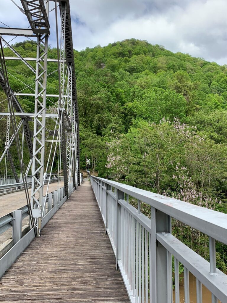
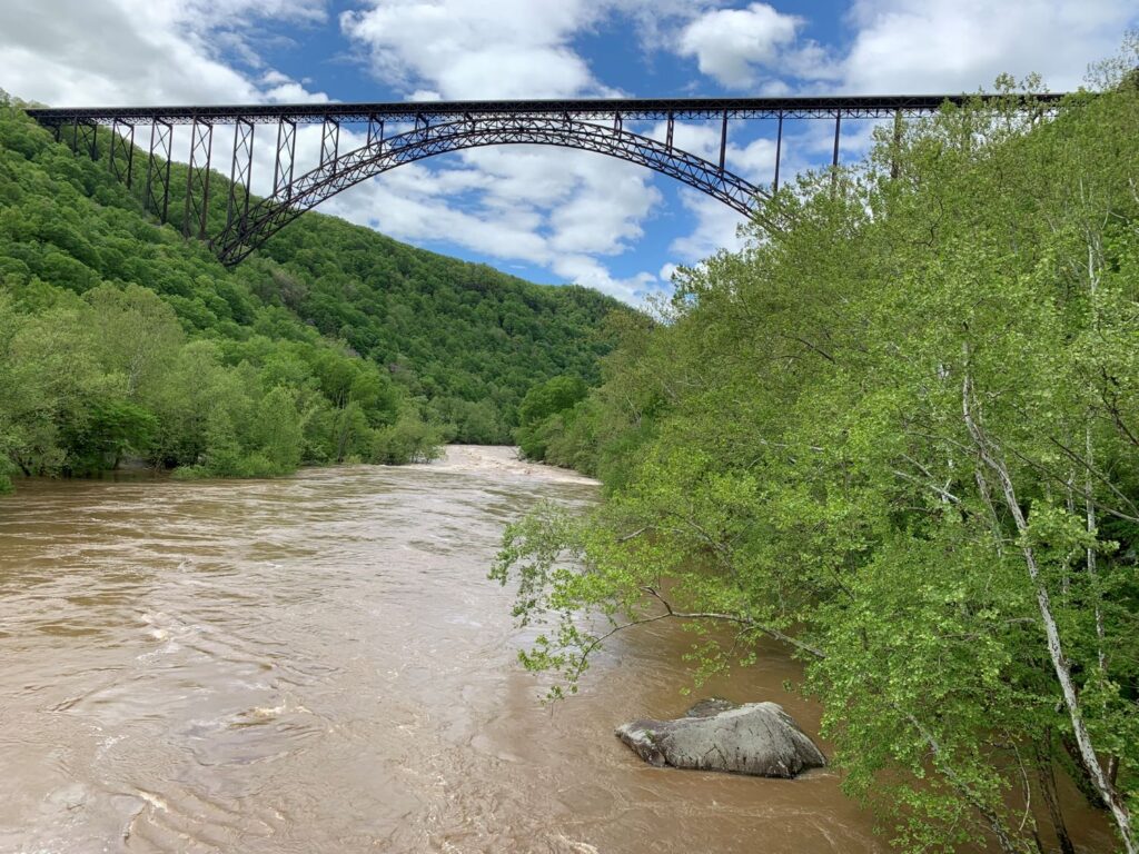
Located in the Canyon Rim/Bridge area, the Fayette Station Road tour is a scenic 100 year old series of one and two way roads that winds down to the New River from the Visitor Center and then winds back up across the other side. Along the road you encounter hairpin turns and views of the river, bridge, lush vegetation and waterfalls. I liked this drive so much that I did it twice, once in the rain (great for the waterfalls) and once on a sunny day. The bridge that crosses the river, formerly known as the Fayette Station Bridge, was re-named the Tunney-Husaker Bridge. The entire drive takes about 40 minutes without stops. Before 1977 when the New River Gorge highway bridge was built, this was the only way to cross the river. What previously took 40 minutes to cross, now takes about a minute.
Long Point Trail
- Distance: 3.2 miles r/t
- Type: out & back
- Difficulty rating: Moderate
- Location: Located in the northern area of the park across the river from the Canyon Rim Visitor Center. From US 19, follow WV16 south through the town of Fayetteville. Turn left on Gatewood Road (sign indicates Kaymoor and Cunard). Follow Gatewood Road for 1.9 miles, and turn left on Newton Road. The trailhead parking area is 50 yards on the left.
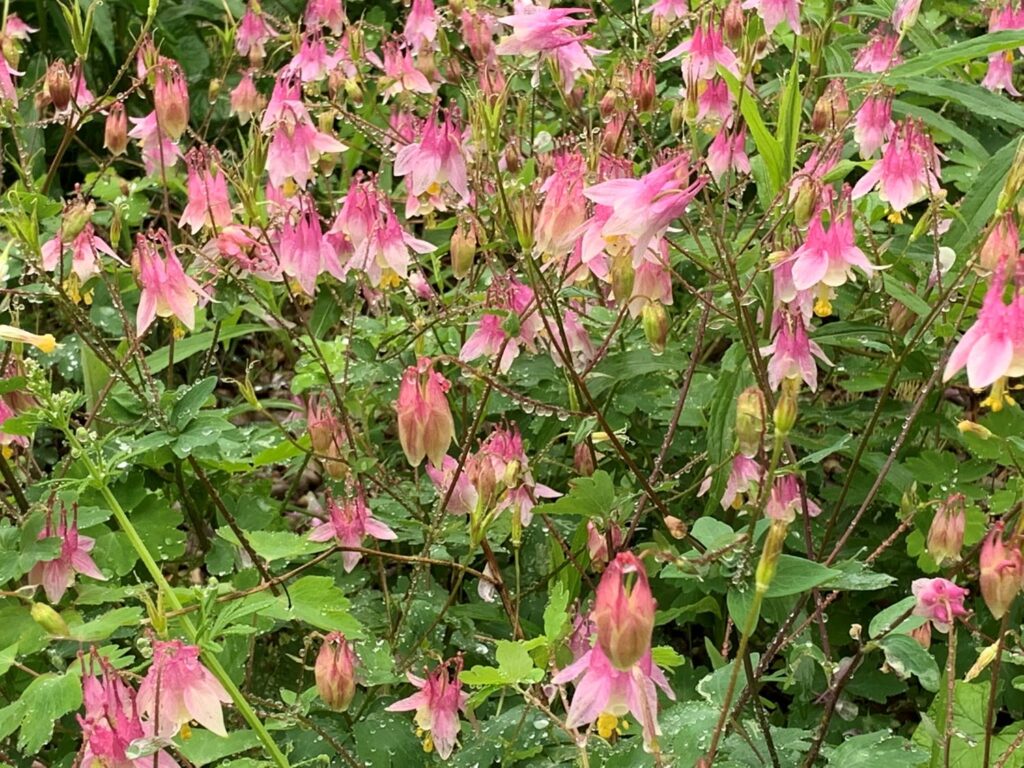
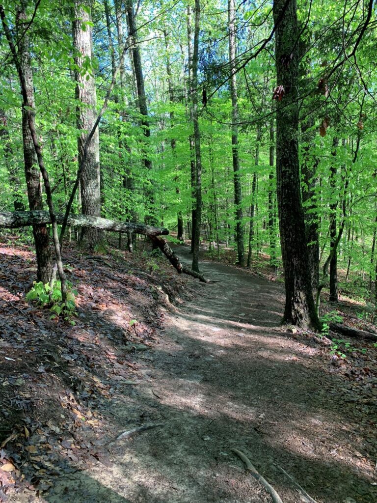
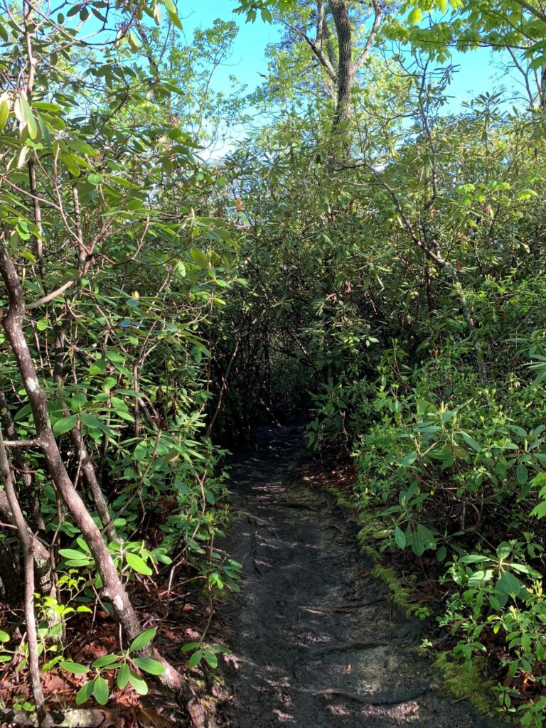
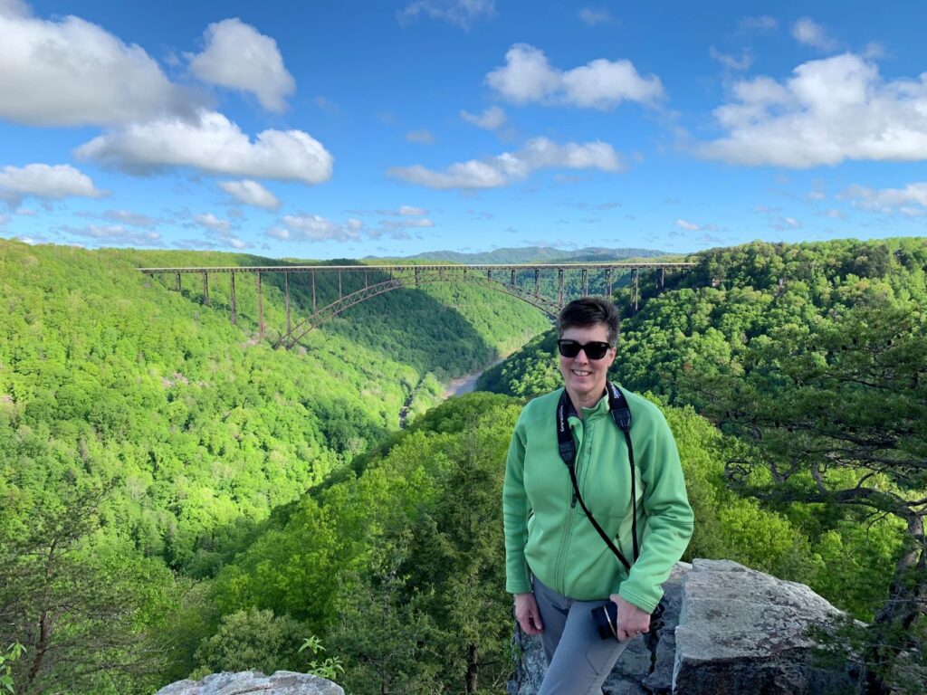
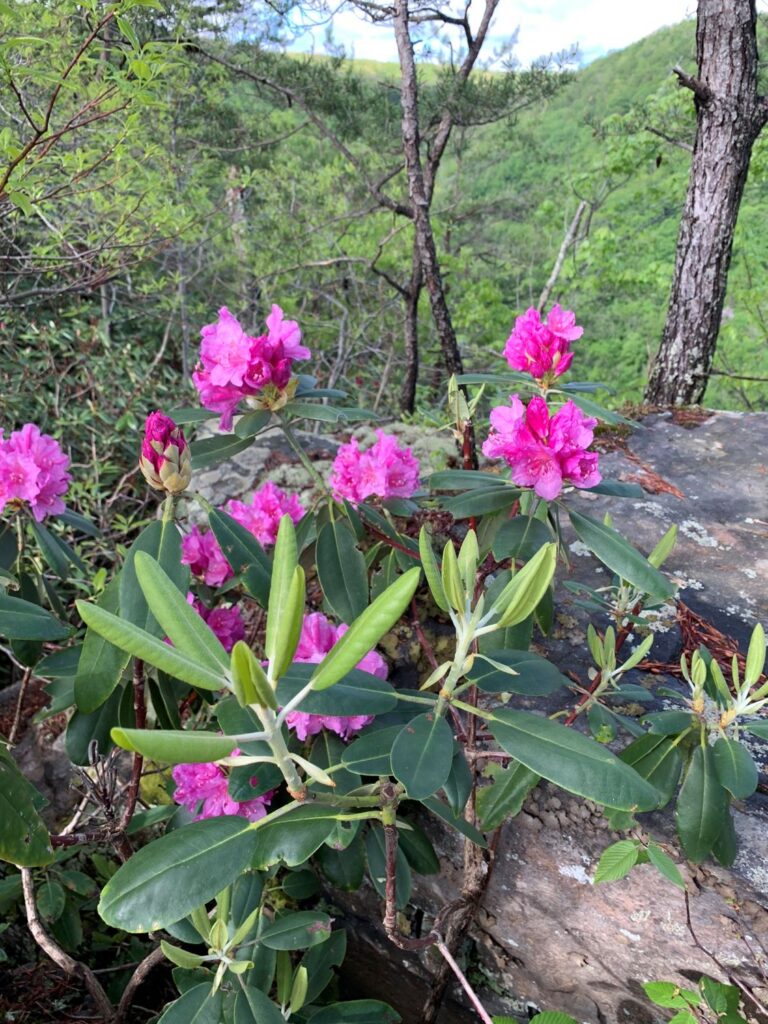
The trail leads thru a field and forest to a rock outcrop that gives fantastic views of the New River Gorge Bridge. There was ample parking in the lot. I was there around 8:30am on Mother’s Day morning and there was only one other car in the lot. The sun was shining brightly but it had been raining in the area the prior 4 days and the trail was extremely muddy in places. The trail was relatively easy to follow although there are 2 places where the trail intersects with other trails so be sure to follow the correct signage. Bikes are also allowed on the trail except for the last quarter mile which is quite steep and over rocks. The trail is lined with rhododendron, there is even a rhododendron tunnel that you have to pass thru. I was a little too early in the season, but I am sure it is absolutely gorgeous when the rhododendron are in full bloom. Upon reaching Long Point you get panoramic views of the New River Gorge Bridge and surrounding area.
Kaymoor Miner’s Trail
- Distance: 1.0 mile one way
- Type: out & back
- Difficulty rating: Strenuous
- Location: From US 19, follow WV 16 south through Fayetteville. Turn left on Gatewood Road (park signs indicates Kaymoor and Cunard). Follow Gatewood Road 2.0 miles, and turn left at the Kaymoor sign (Kaymoor No. 1 Road). Follow this road about one mile to the “T” intersection; turn left. Parking is 50 yards on the right. This trail is located near the Long Point Trail. The Butcher Branch Trail connects the two trails.
While this was the shortest trail I hiked, it was by far the most strenuous. Do not confuse this trail with the Kaymoor Trail which is a moderate 8.6 mile one way trail that runs parallel to the middle of the gorge. These trails do intersect.
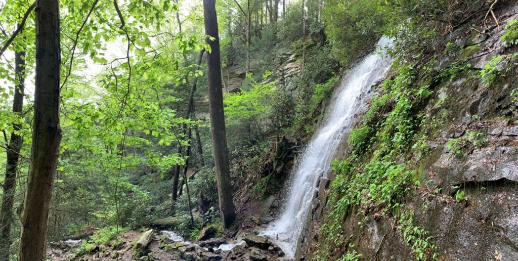
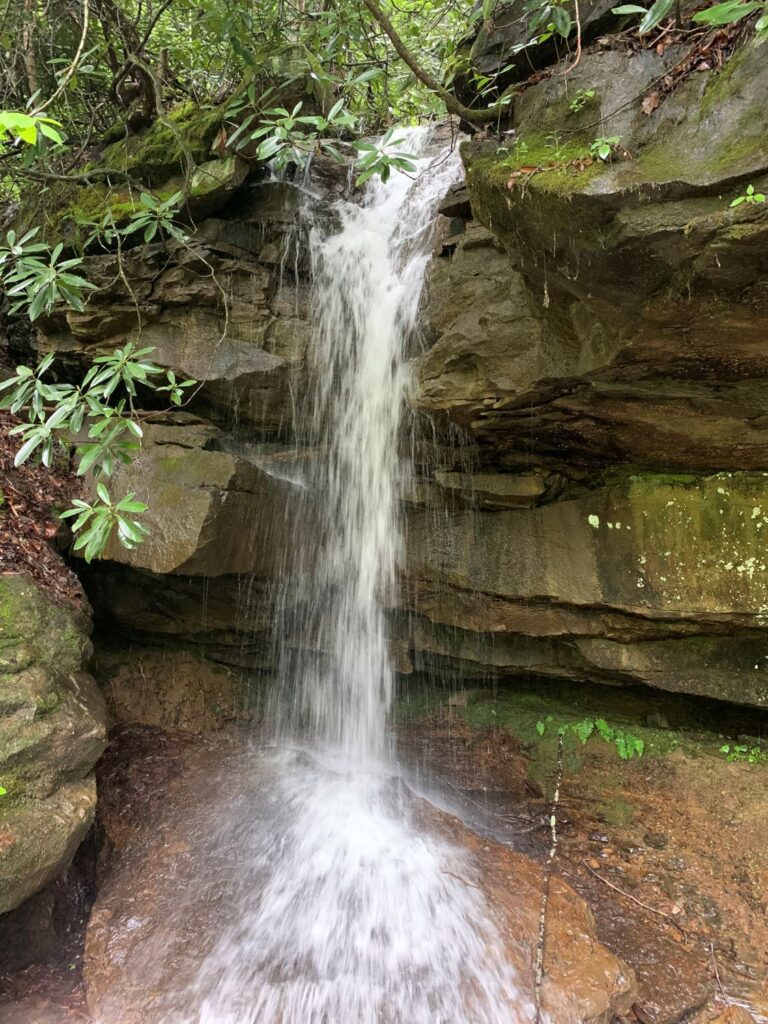
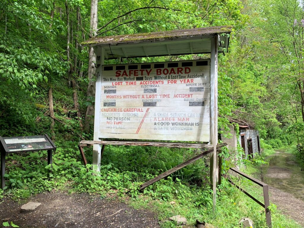
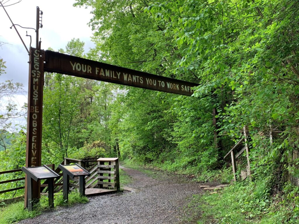
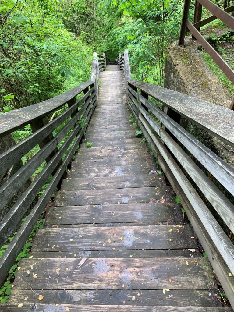
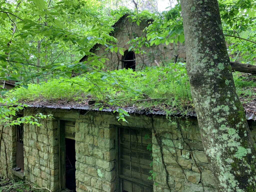
The trail descends over 900 ft in 1.0 miles. It starts out descending 0.5 thru the forest via a series of switchbacks and following along a stream with a pretty waterfall. The trail was extremely muddy when I was there. The trail levels out at the entrance to the mine. There is some interesting information about the mining industry at this point. The trail continues descending via 821 wooden steps down to the ruins of the old mining town. The ruins are quite interesting, as the forest has taken over this town. Now for the fun part – this means 821 steps back up. Seriously, between the 821 stairs up and the switchbacks, this was a monster cardiac workout. Trekking poles were great to have on the non-stairs section of the trail. If you like history and ruins, this is a great trail, just be prepared for a serious workout. If you are more into scenery, there are better hikes to spend your time on.
Endless Wall Trail
- Distance: 2.4 miles one way + 0.5 mile walk on the road
- Type: out & back, or loop if you walk back on the road
- Difficulty rating: Easy
- Location: Located in the northern area of the park just down the road from the Canyon Rim Visitor. Turn off Route 19 on Lansing-Edmond Road, located just north of the Canyon Rim Visitor Center. Fern Creek Trailhead is located 1.3 miles (just before Fern Creek) down this road, while the Nuttall Trailhead is 1.8 miles from U.S. Route 19. This is a narrow road. Watch out for hikers along the roadway.
This is a forested trail, crossing a few streams that leads out to a cliff wall and then follows along the cliff wall. The Fern Creek Trailhead lot was full when I arrived around lunchtime. I drove further down the road and parked at the Nuttall Trailhead lot. I started my hike by walking along the road 0.5 miles back to the Fern Creek Trailhead lot and started the trail there. That way when I finished the trail I was at my car.
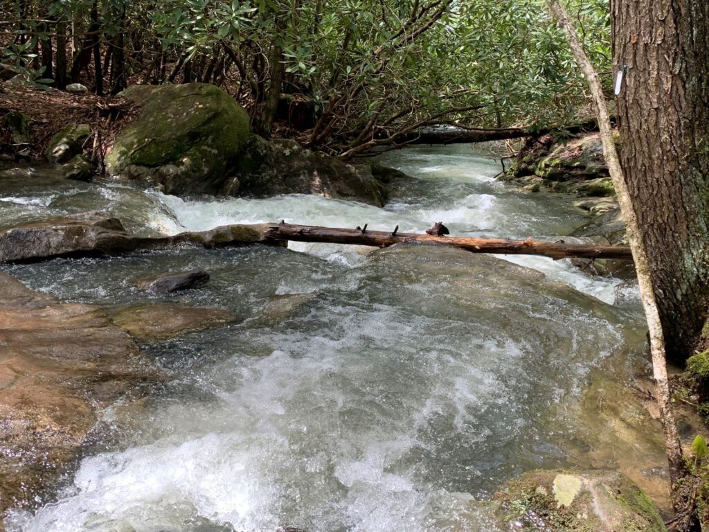
There are over 1,600 climbing routes along the Endless Wall. I ate my lunch while sitting on a rock outcropping watching some climbers make their way up the wall. Again, the sun was shining brightly but it had been raining in the area the prior 4 days and the trail was extremely muddy in places.
Grandview Rim & Castle Rock Trails
- Distance: 0.6 mile (one way) Castle Rock Trail, 1.6 miles (one way) Grandview Rim Trail
- Type: lollipop trail if you go out on Castle Rock Trail and return via Grandview Rim Trail
- Rating: Strenuous (Castle Rock Trail), Easy/Moderate (Grandview Rim Trail)
- Location: Located in the Grandview area of the park, the parking for these trails is almost an hour’s drive from the Canyon Rim Visitor Center in the northern end of the park. The drive is on a state highway (Rte 19) and is not very scenic until you re-enter the park boundaries. The trail starts at the Main Overlook and ends at Turkey Spur Overlook. There is a large parking lot with picnic facilities. Turkey Spur Drive, a paved road, ends at the Turkey Spur Overlook, so this hike can be done as a 1.6 mile one way hike if you have 2 cars or someone to pick you up at the Turkey Spur Overlook.
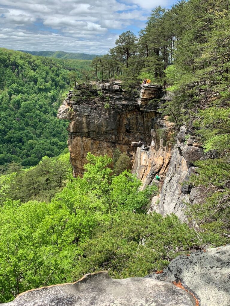
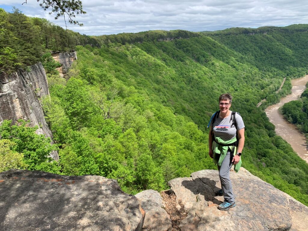
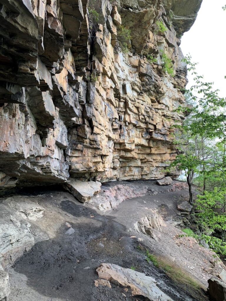
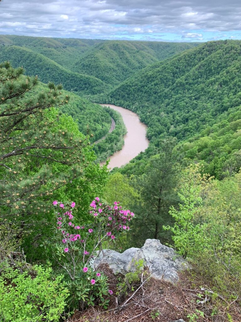
I hiked this trail in the late afternoon after already hiking the Long Point, Kaymoor Miner’s and Endless Wall Trails earlier in the day. I started at the Main Overlook and walked north on the Castle Rock Trail for the first 0.6 miles until the trail ended after meeting back up with the Grandview Rim Trail. This was my favorite part of the trail with a huge rock wall to your left and the river 1,400 ft below to your right. I then continued north on the Grandview Rim Trail out to the Turkey Spur Overlook. This trail offered some nice views of the winding river and gorge. There are some steep sections near the Turkey Spur Overlook and to access the 2 overlooks at Turkey Spur you must climb a few flights of stairs. It must look gorgeous in the late spring when the rhododendrons are blooming.
Bridge Walk
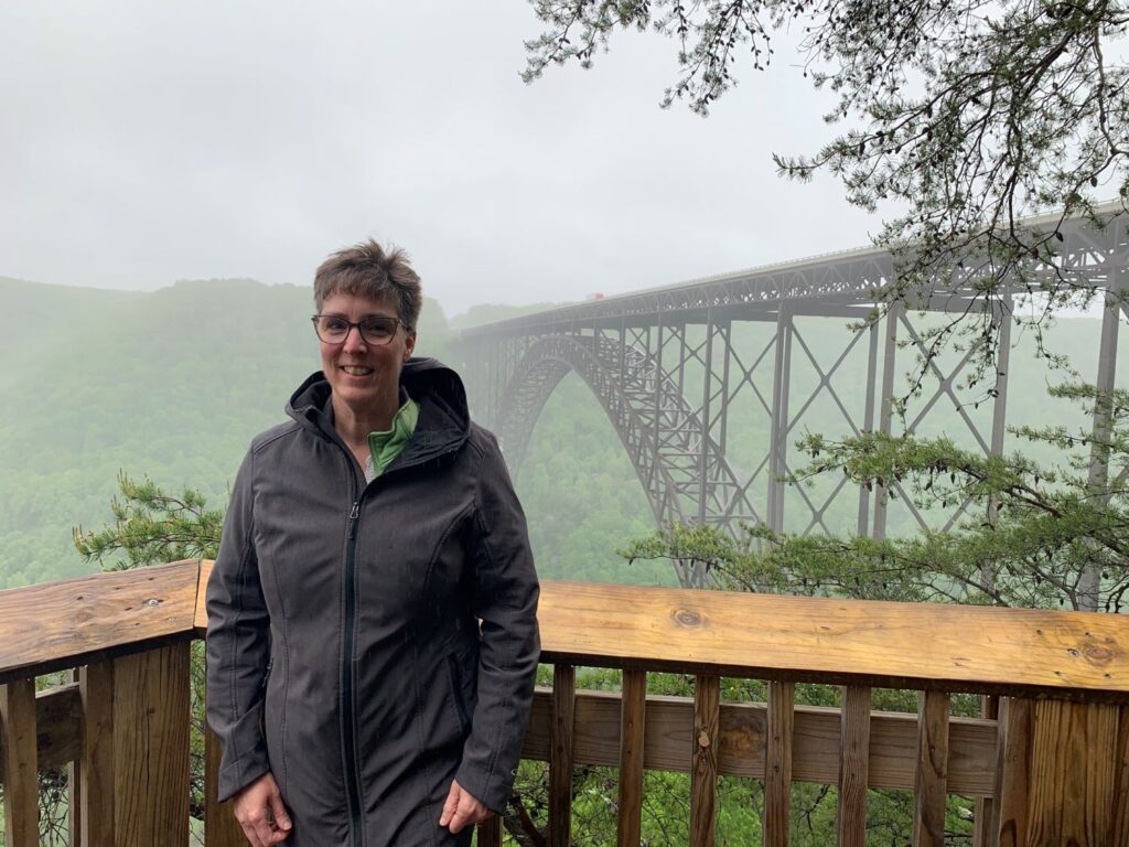
While researching the New River Gorge area, as soon as I saw information regarding the Bridge Walk Tour, I knew it was something I was going to have to do. It was pricey ($75), but worth every penny for such a unique experience. This bridge is pictured on the US West Virginia state quarter.
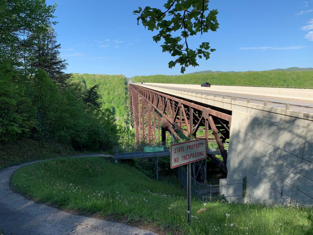
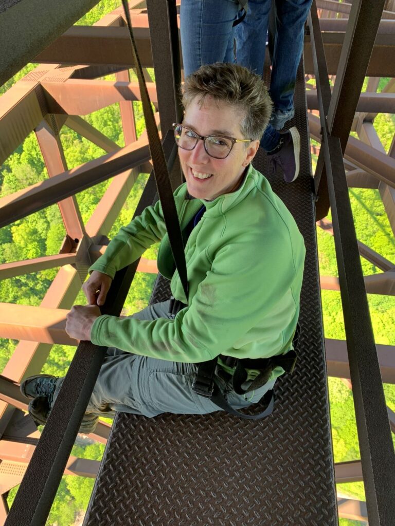
The tour took a little over 2 hours which included a roundtrip shuttle ride from the start and end points of the bridge (very short drives), a safety briefing and harness fitting, and the actual walk. The walk is on a 24” catwalk located 25 ft underneath the bridge and is 3,030 ft in length (the entire span of the bridge). While daunting at first, I quickly got used to the height. Everyone is attached via a harness to a cable that ran above our heads. Everyone walks single file while the guide is attached to a second cable overhead so that he can walk back and forth amongst the group. I think the vibrations from the cars & trucks overhead was more unnerving than the height.
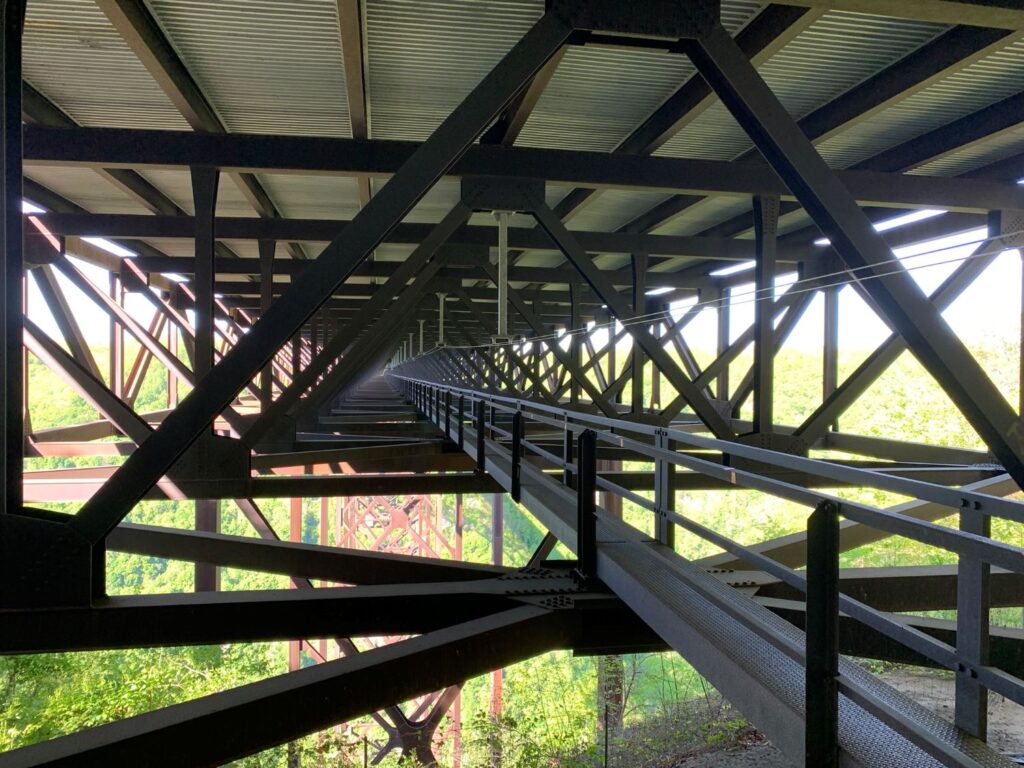
We stopped quite frequently along the walk. Our guide was extremely personable and knowledgeable. He gave us a lot of history and interesting facts about the bridge’s construction. When we reached the center span we all go to sit down on the catwalk and the guide took pictures of each of us with our own phones.
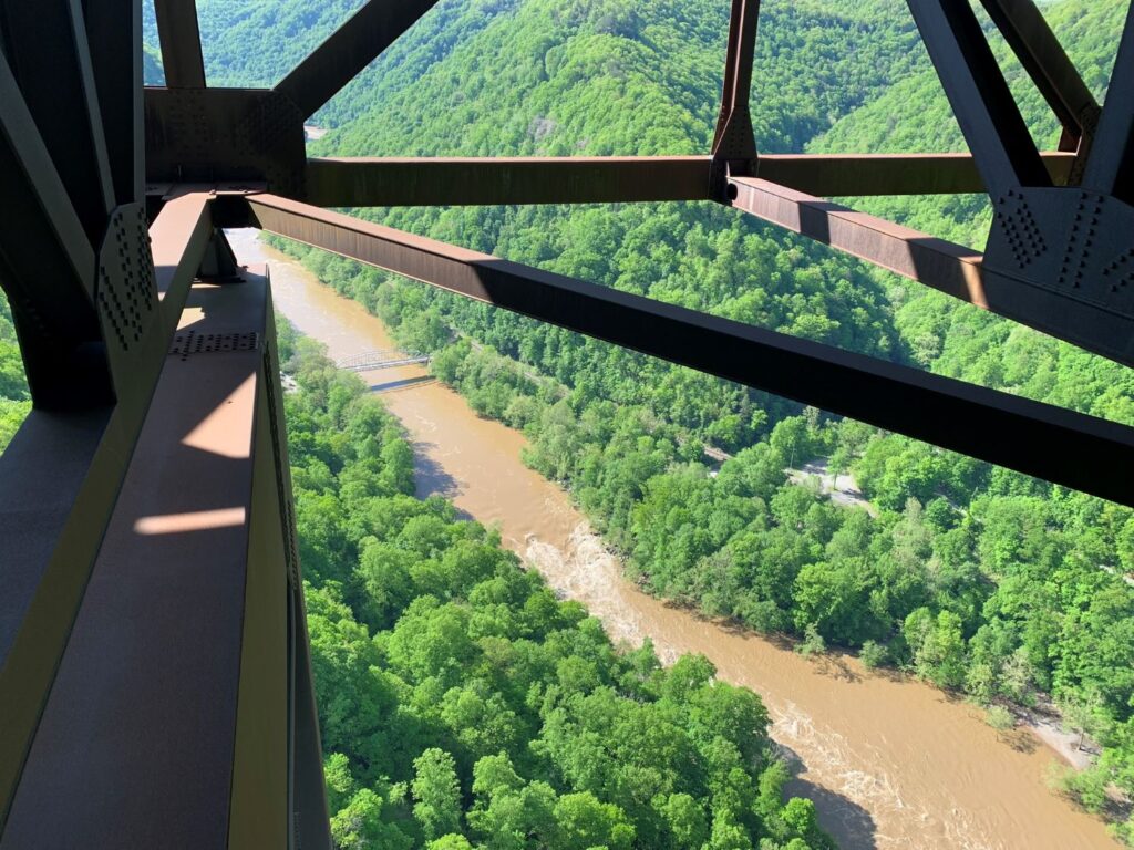
Bridge facts:
- Longest single arch bridge in the Western Hemisphere
- 3rd longest single arch bridge in the world
- 2nd highest vehicle carrying bridge in the United States
- 5th highest vehicle carrying bridge in the world
- 3rd highest bridge in the United States
Sandstone Falls
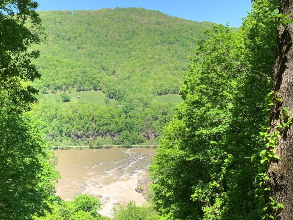
I visited Sandstone Falls on my way out of the area as I was heading south to Tennessee. This area is almost an hour from the Canyon Rim Visitor Center. I went to the Sandstone Falls Visitor Center first which is 30 minutes out of the way from the actual falls. The benefit of going out of the way however, was that I was now on the east side of the New River. I drove down Scenic Route 20 which climbs Chestnut Mountain to an overlook of Sandstone Falls. The route then continues south to the town of Hinton, a booming railroad town in its day, where I crossed back over the New River and drove north on Route 26 (River Road) for 10 miles to the Sandstone Falls viewing area. This is a lovely area with a boardwalk trail that leads to an island with multiple overlooks of the river and falls. I also hike the Island Loop Trail which is a short, 0.5 mile, easy trail. Sandstone Falls is the largest waterfall on the New River and spans the river where it is 1,500 ft wide. The drops are anywhere from 10 to 25 ft. I had a picnic lunch here.
New River Gorge National Park was a great choice for my first solo National Park adventure. I would definitely stop back if I was in the area. One spot that I didn’t get to visit but wish I had, was Babcock State Park. It is one of West Virginia’s oldest state parks and is home to the Glade Creek Grist Mill, an iconic West Virginia symbol. While I visited in the spring, I believe autumn would be an awesome time to visit with the foliage.